
Quick report
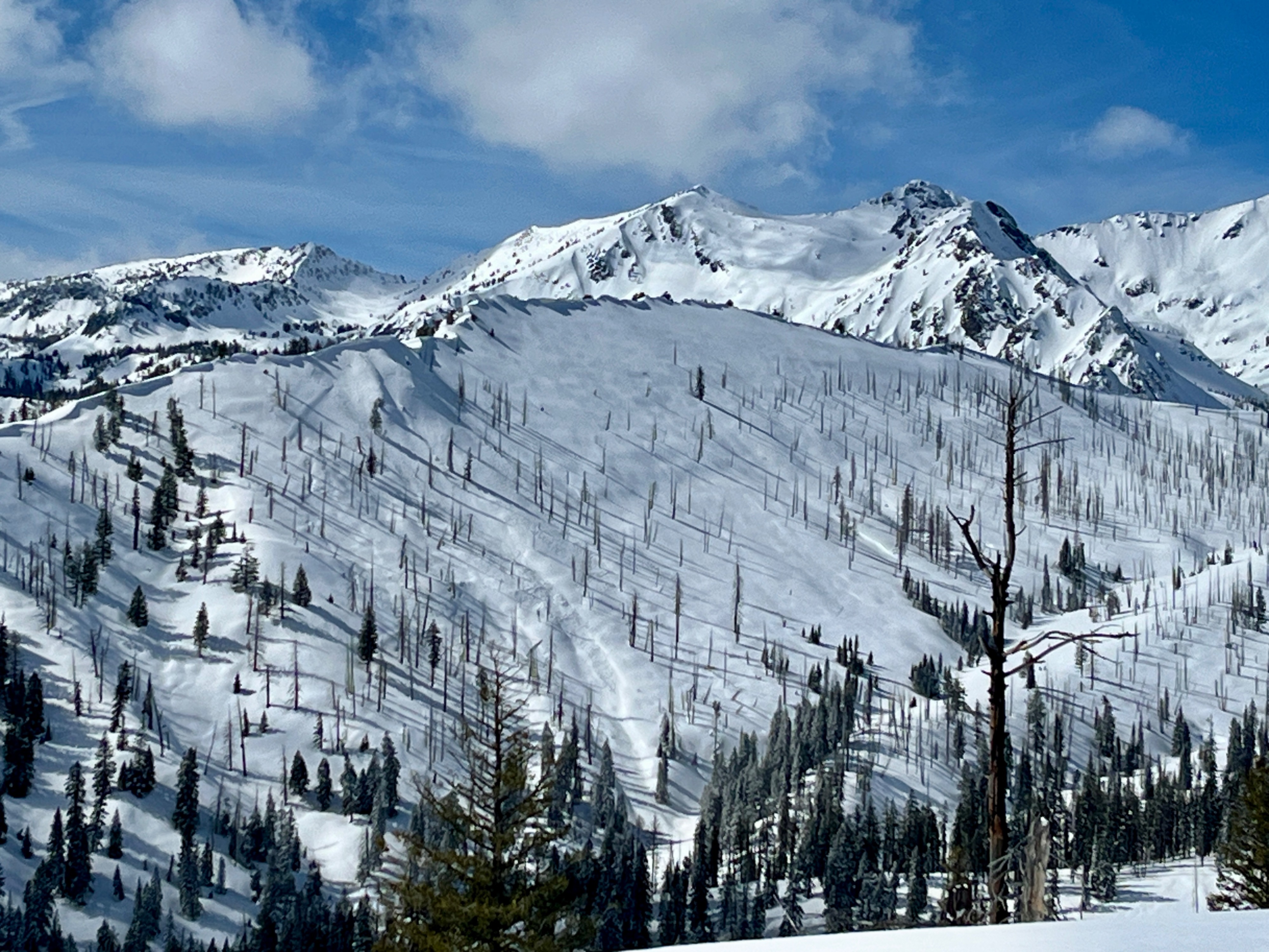
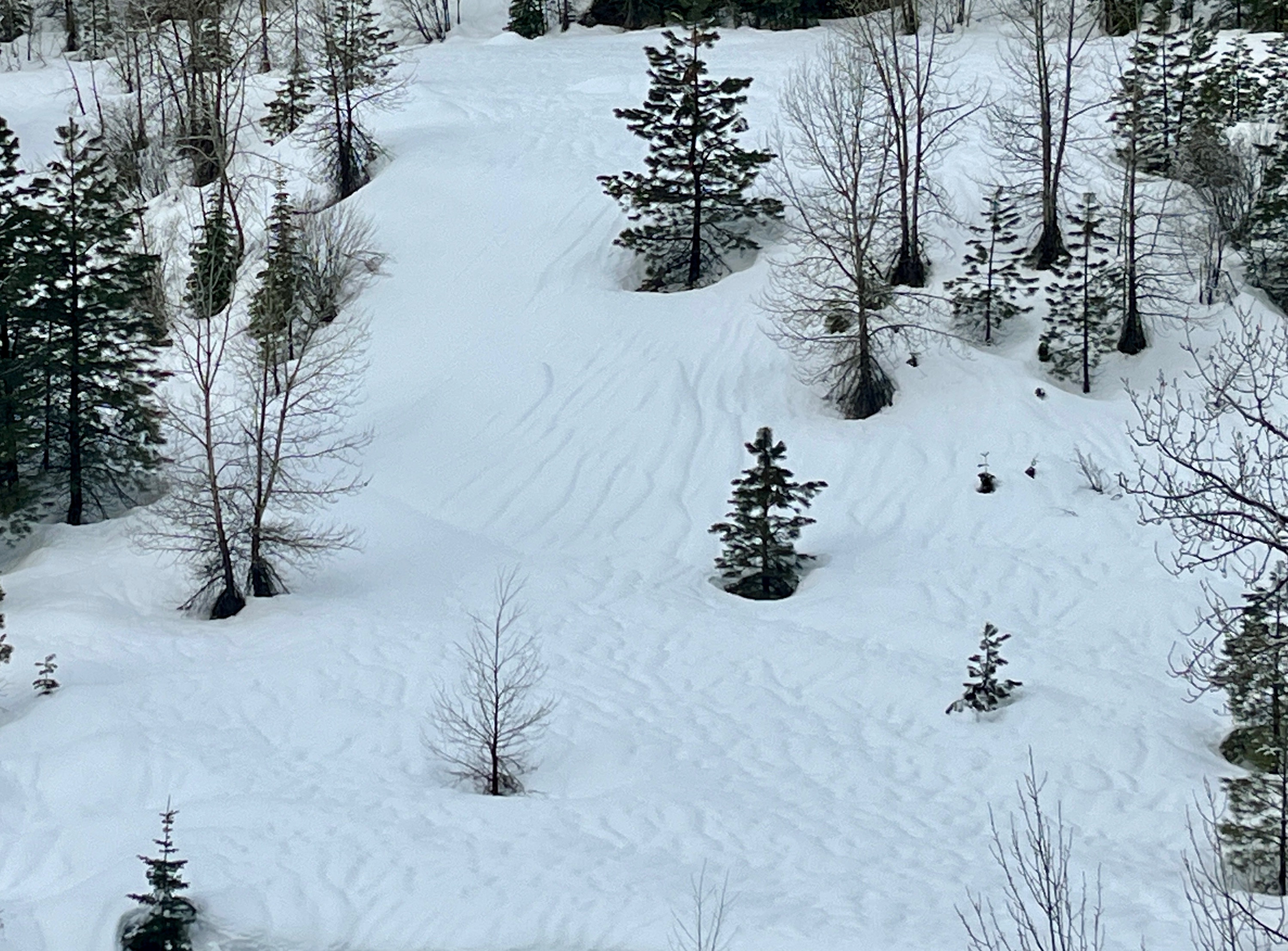
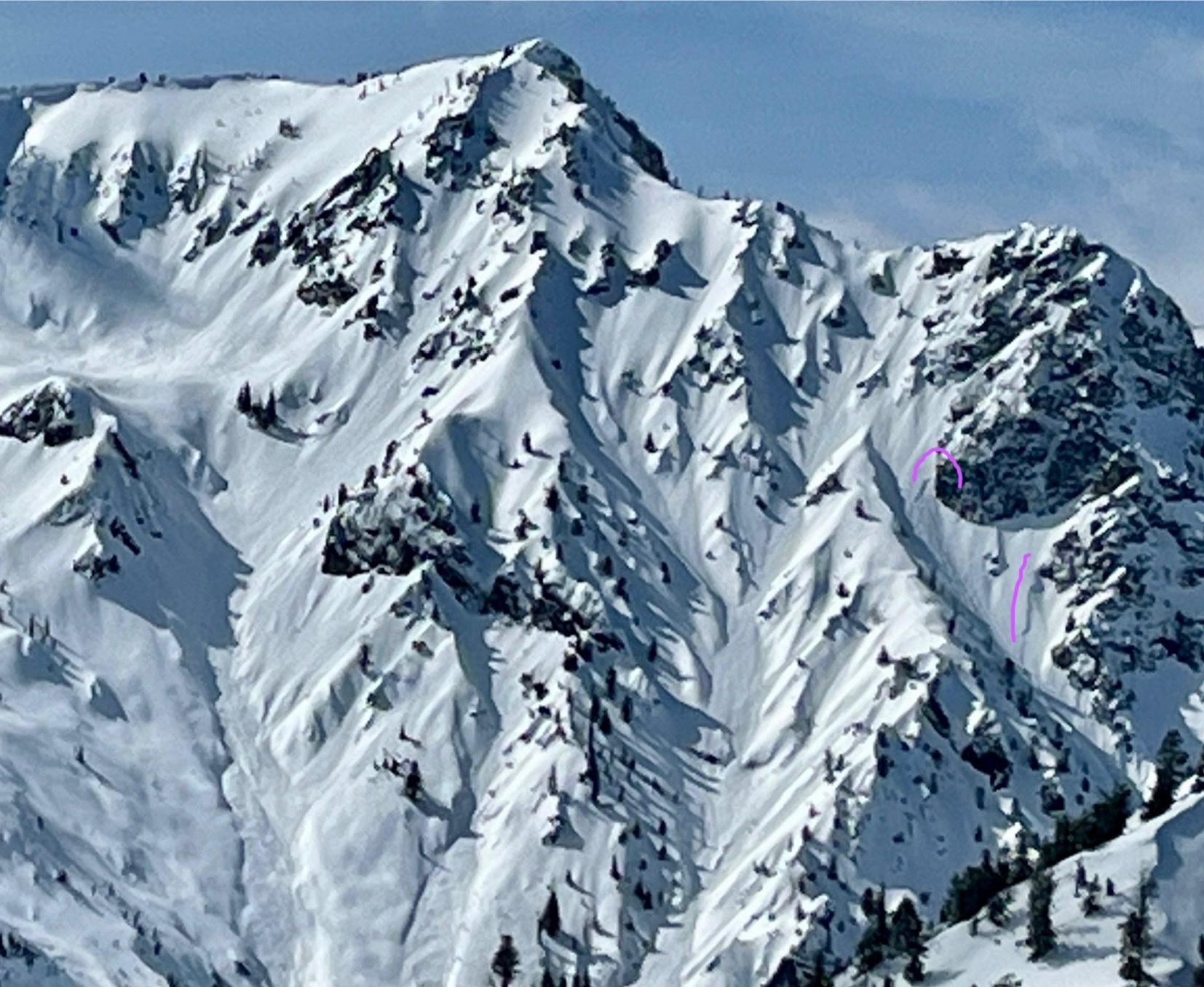
Just enough clouds kept it cool in the morning before a few intense hours of midafternoon sun. We didn't observe any rollerballs or wet loose activity, but it very obviously cooked the new snow on S and W aspects near treeline. E slopes stayed cool with good snow quality (and likely N too). Visibility was excellent and we took a moment glassing around. Other than 1 small crossloaded pocket on Cornucopia that naturally avalanched, we did not see avalanches.
noneWeather
- Air Temp
- 37
- Cloud Cover
- broken
- Wind Loading
- light
- Rain Elevation
- 4500
- Recent Snowfall
- 10-20
- Snow Avail For Transport
- small smounts
Broken skies in the AM kept temps down until clouds retreated to scattered around 1 PM. At 2PM at 6600', I recorded 29.5F in the shade and at the same spot in full sun (non standardized), 37F. It felt hot. Winds were Light and S to W.
Snowpack
A thin rain crust below 4000' melted out by afternoon. Above 4500', the interface between Thurs vs Fri night's new snow is not significant. 10-20cm new snow overnight, increasing rapidly above 5500'. At 6600' E, we found the 3/19 melt freeze crust down 45cm (1.5') and a 15cm F+ hard windslab on top of F hard snow from Thurs night.