
Quick report
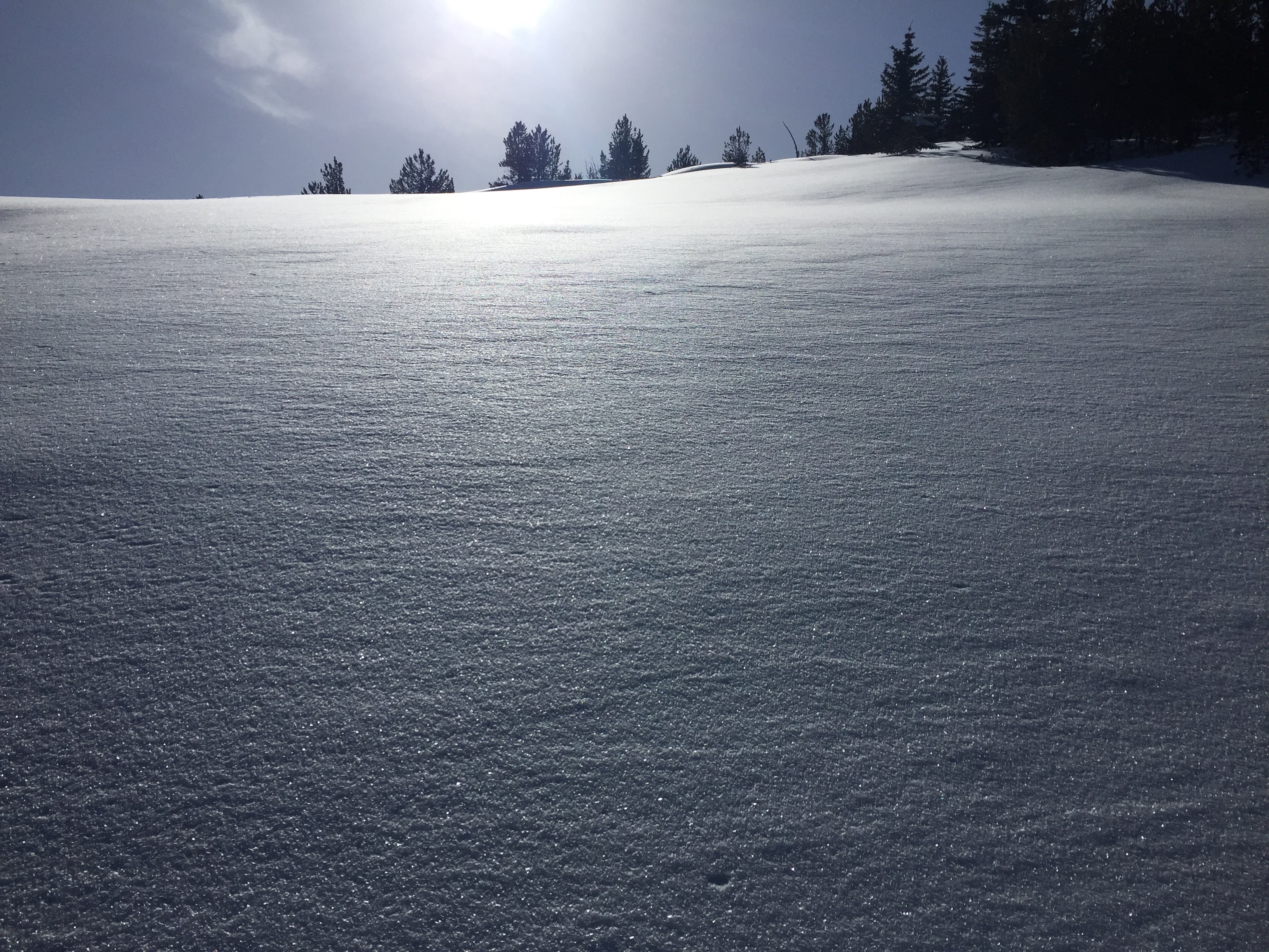
Signs of instability were the observation of the formation of isolated windslabs at the highest, north facing, areas of our ski tour near peaks and ridge tops. The weather yesterday was generally sunny and mild. Temperature in the shade was just below freezing at 8500’ . Winds at 8500’ were moderate and blowing from the southwest. We definitely noticed snow being transported onto leeward facing terrain at and near the ridgelines and peaks where we were ski touring. My Snowpit data revealed improving snowpack structure and stability. Extended Column Test exposed weakness 8” down from the snow surface at an obvious density change. It took a great amount of force to get the column to fail, no propagation was observed (ECTN 24 down 8”). What was most notable was the heavy blanket of large grain surface hoar we observed throughout our tour between 6500’ and 8500’ . This blanket of surface hoar will compromise the bonding process at the new snow/old snow interface and therefore greatly compromise stability when the copious amounts of new snow arrives starting tonight. I feel that overall stability was good yesterday. However, I believe that, with the arrival of what appears to be a significant amount of new snow this coming week, our stability will deteriorate dramatically.
Avalanche
Intentionally triggered a small windslab avalanche on a steep, north facing test slope at 8500’ . Overall stability was good throughout our ski tour but we definitely noticed windslab formation in this and other isolated locations above 8000’ . On this particular terrain feature, the slab thickness was approximately 6” .