
Quick report
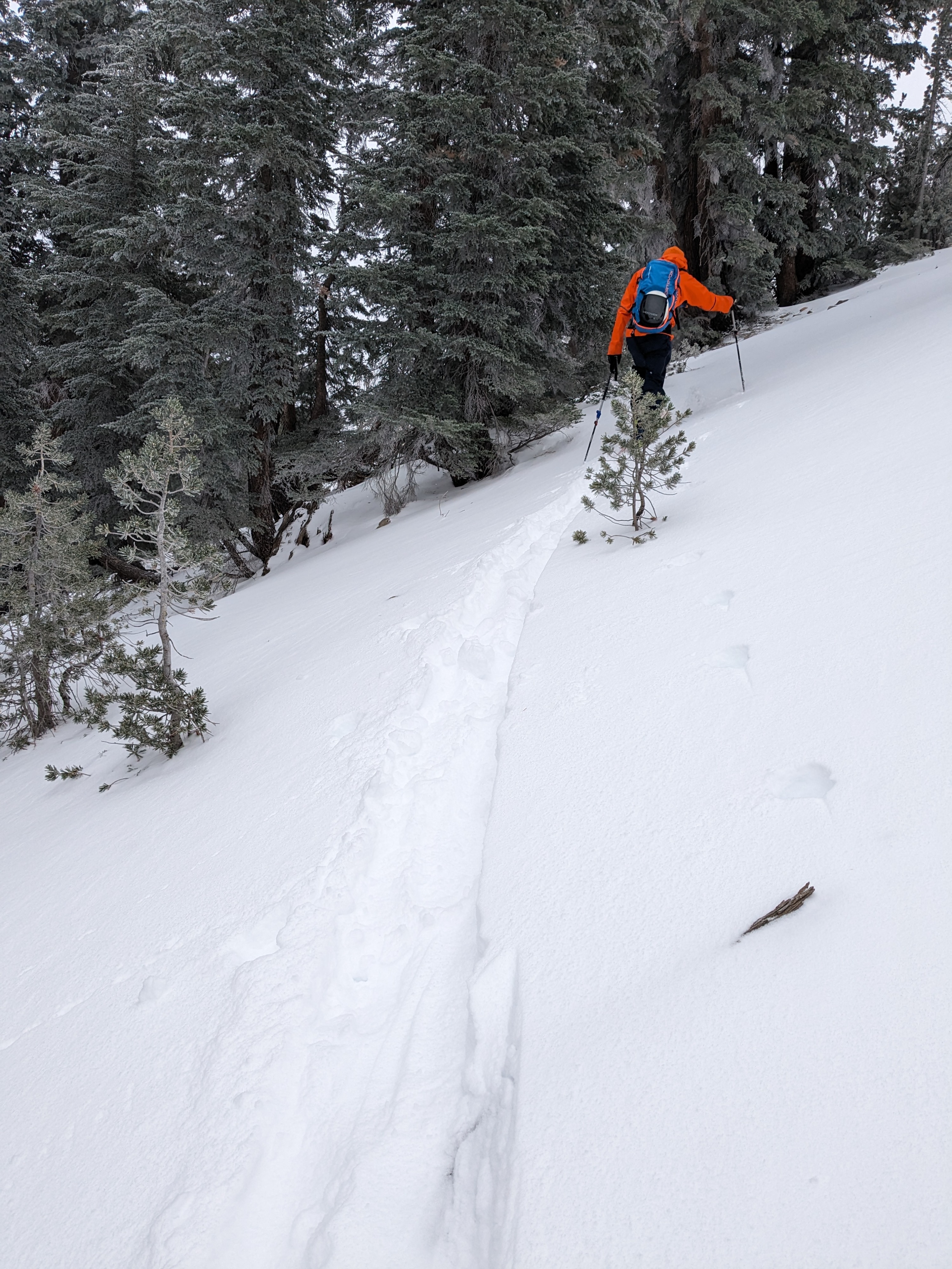
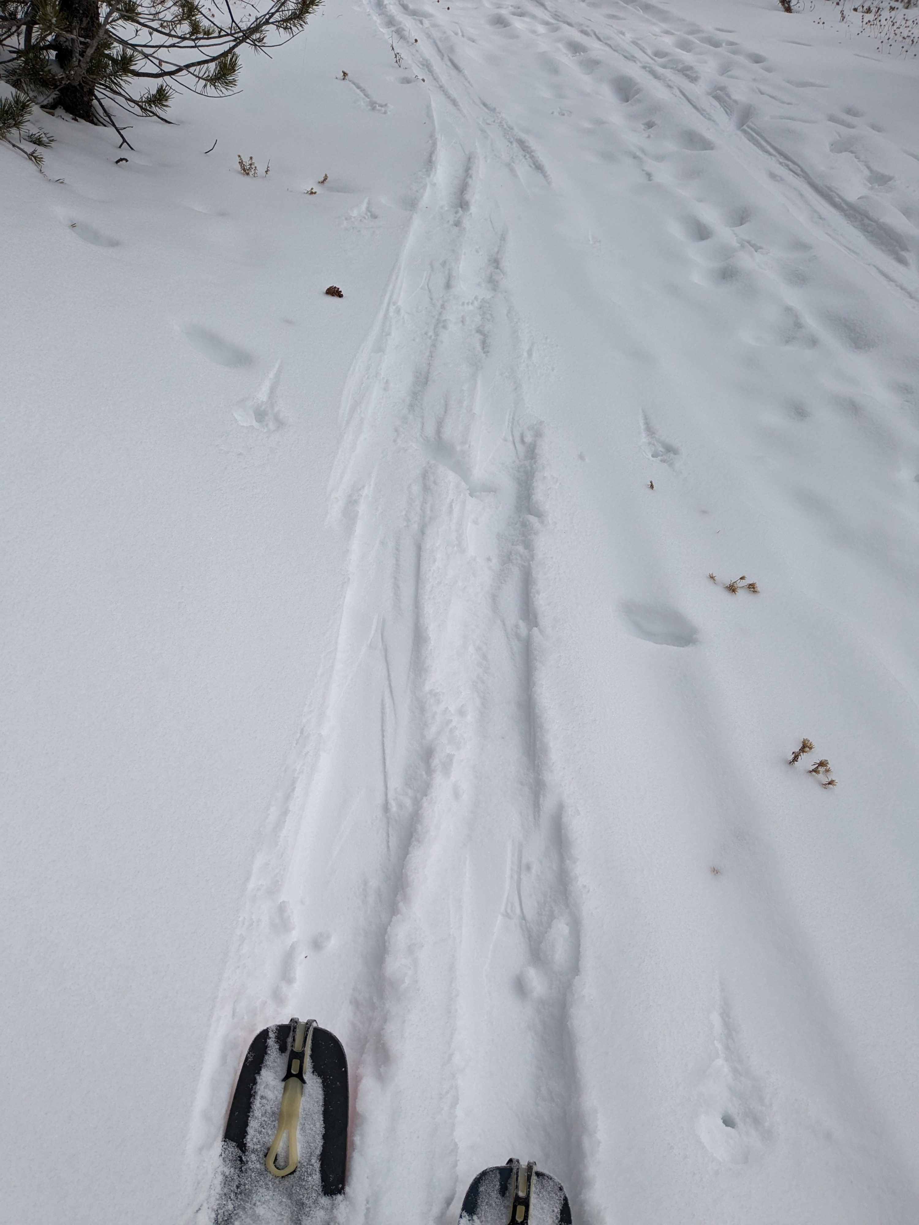
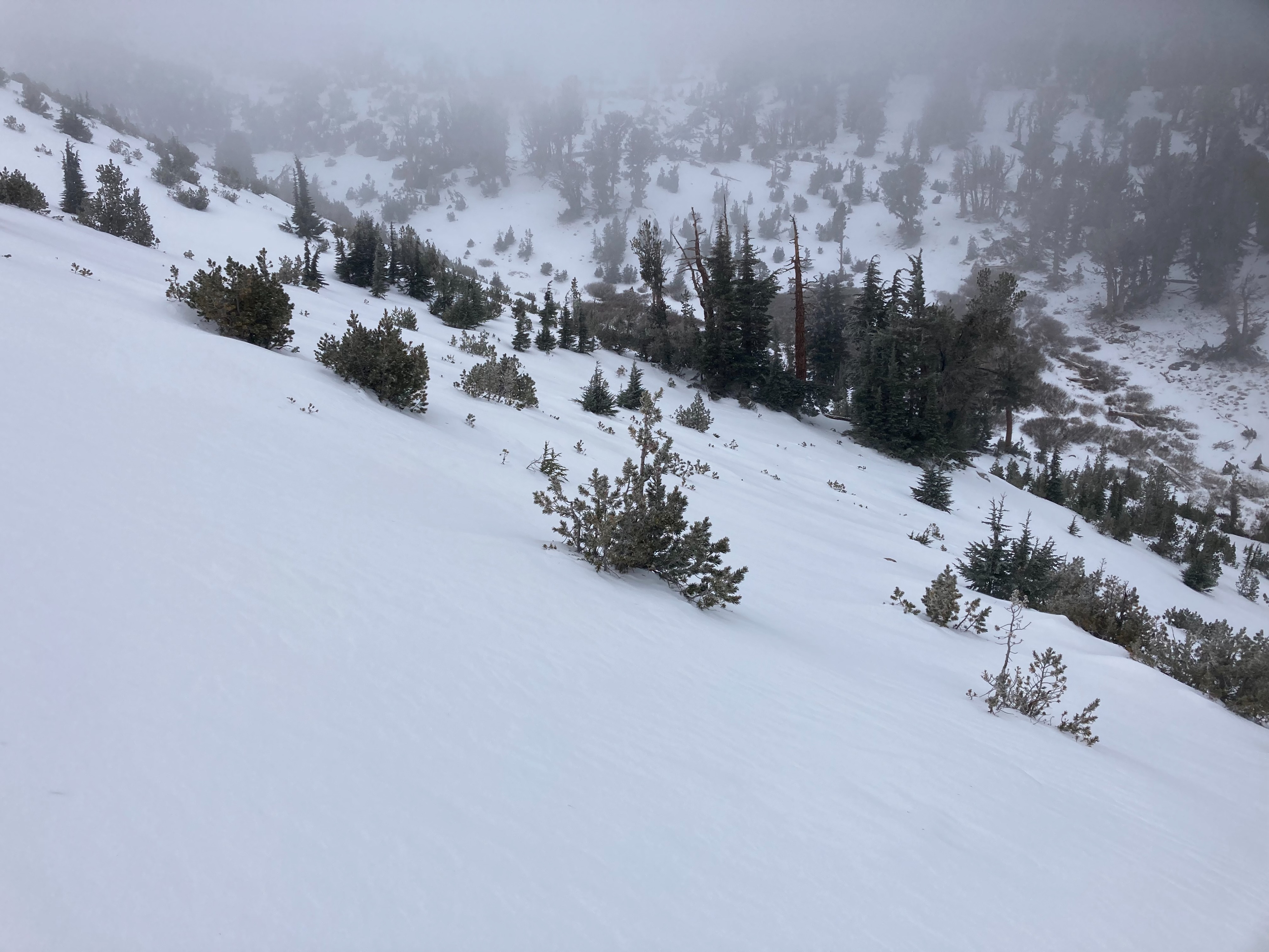
We used the Relay Peak Rd to access into upper elevation terrain on the East Ridge of Relay Peak today. Conditions along the Rd were ski supportable with good coverage along 99% of the Rd. Once onto N aspect terrain at 9,300' and above we encountered a very weak snowpack, the weakest we have yet to encounter within the forecast area. We encountered a few small areas that held a 1 to 2 inch thick wind slab from the 1 to 2 inches of new snow in the area and SW winds. The slab was too thin to propagate, but it cracked easily along the facets below it when moving just above our skin track. Lots of hidden rocks and logs to hit in the weak snowpack.
Weather
- Air Temp
- 23
- Cloud Cover
- obscured
- Wind Loading
- light
- Recent Snowfall
- 3
- Snow Avail For Transport
- small smounts
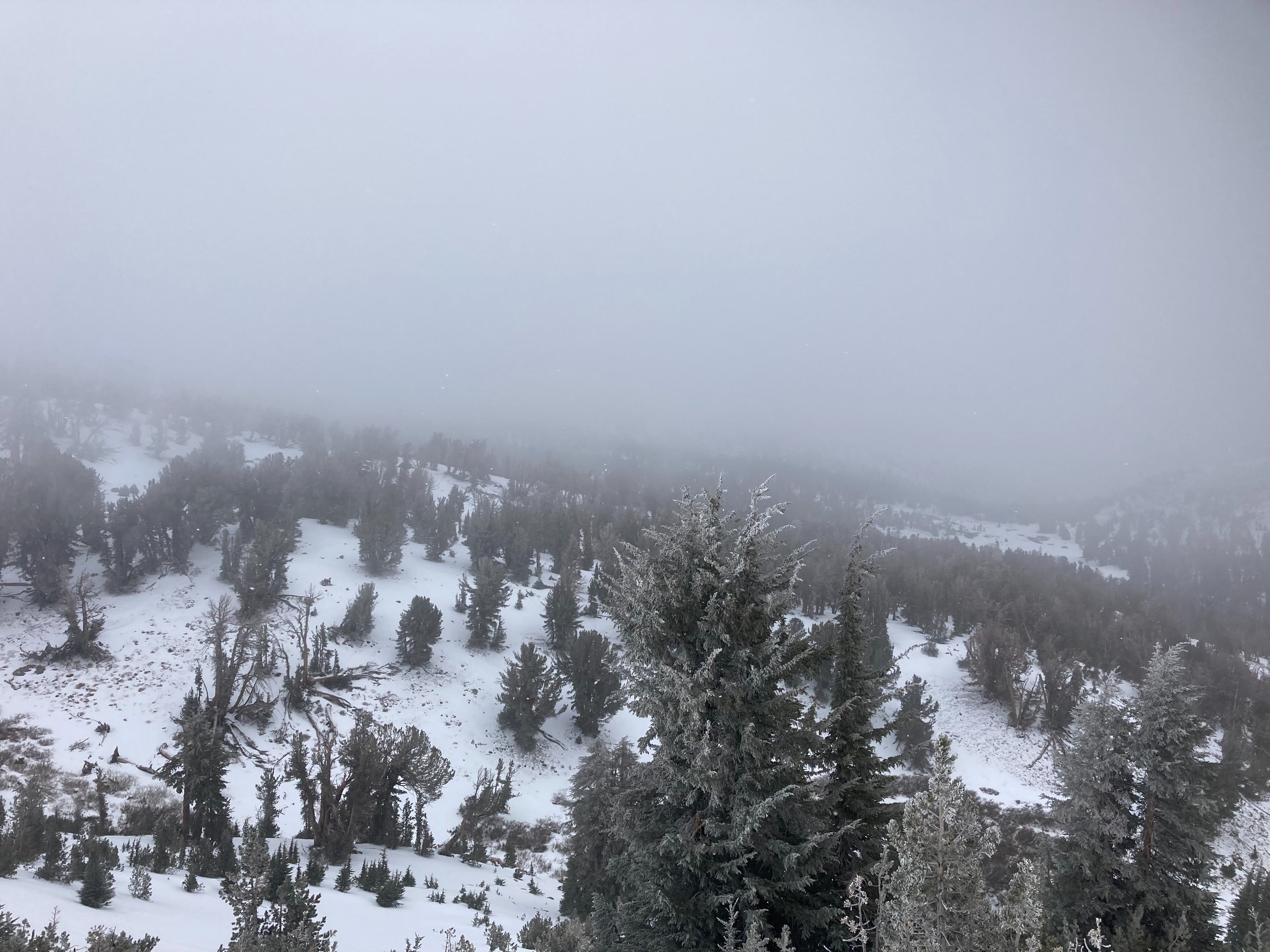
Ongoing snow showers with snowfall rates at S1.
Snowpack
On northerly aspects, the entire 30 to 40 cm (12 to 16 inches) of the snowpack was F hard with no crusts. Depth hoar was present in the lower half of the snowpack. Some similar areas of faceted snow were observed on tree covered W aspect terrain. E and S aspects held thinner coverage with a supportable melt-freeze crust in sun exposed areas and faceted snow in shadow areas behind trees, etc.