
Quick report
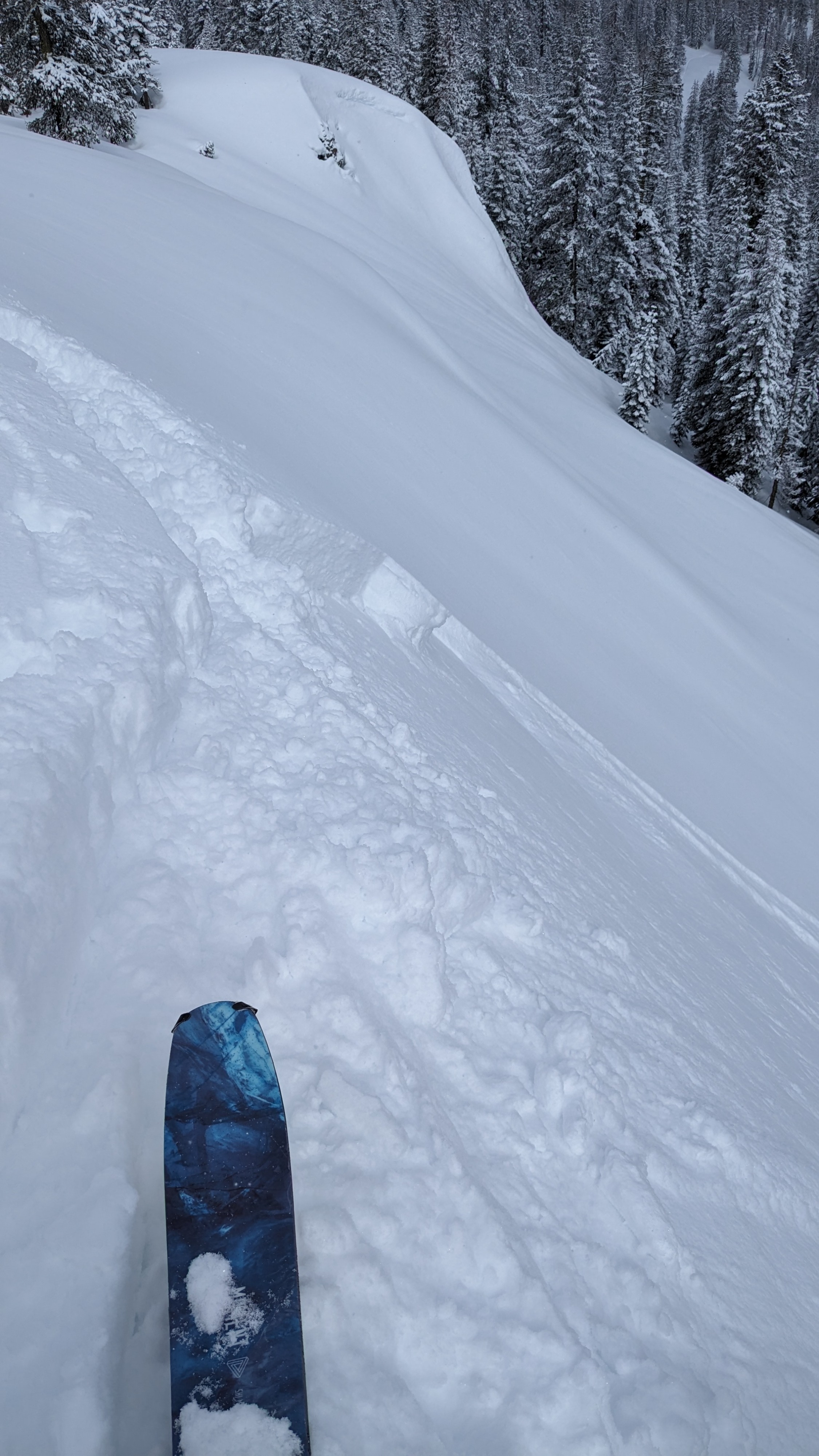
We toured on Andesite Peak this morning with 4 to 5 inches of new snow from the past 24 hours. Partial clearing and sun breaks allowed the low density new snow to absorb solar radiation and become more dense as the morning progressed even though air temperatures remained below freezing. In wind loaded areas directly below or adjacent to cornice features we were able to intentionally trigger size D1 wind slab avalanches with crown depths up to 6 inches. These wind slabs had very little in the way of down slope development, quickly thinning to just 2 inches slab thickness.
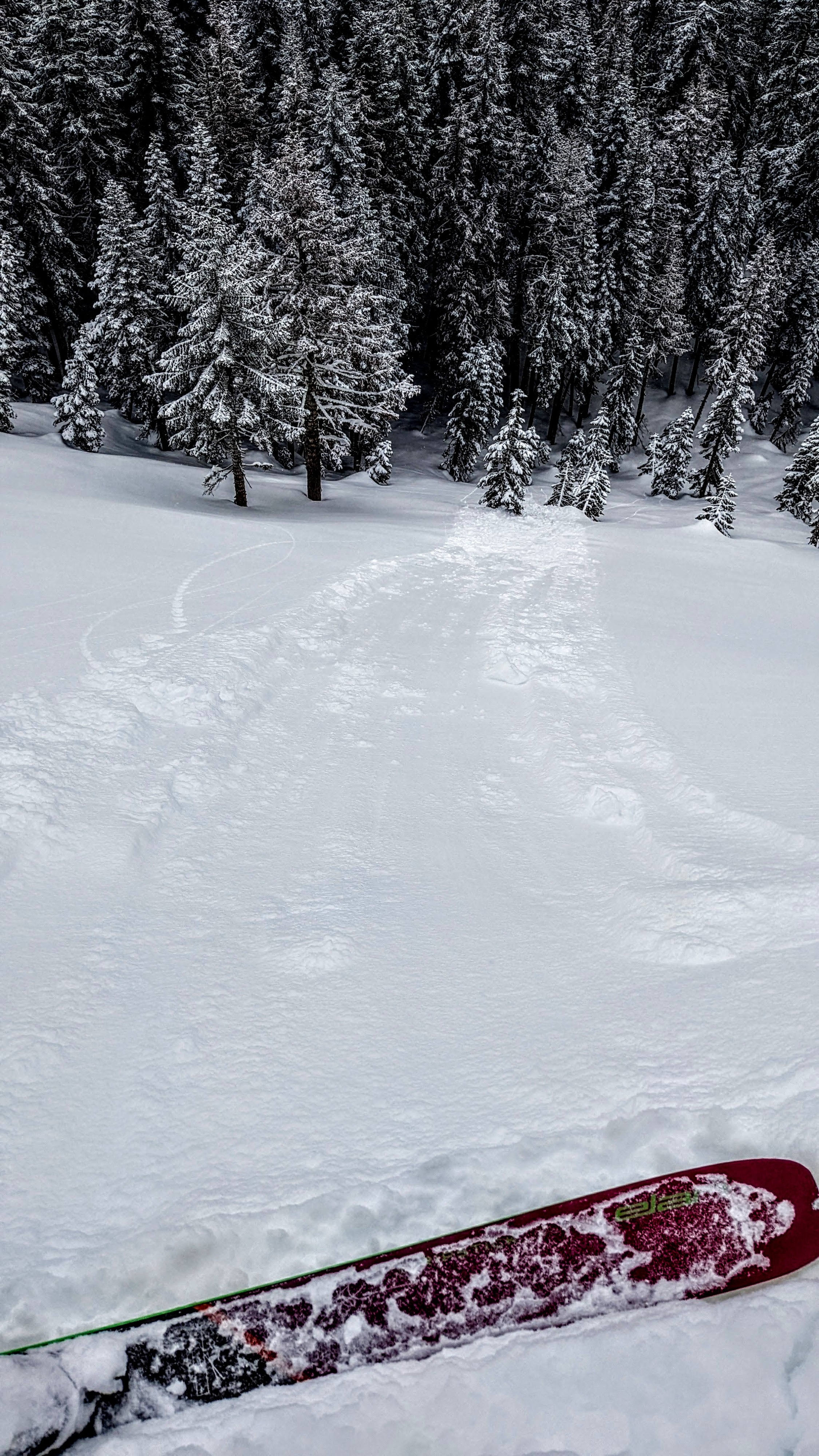
In wind protected areas below treeline, we were able to trigger sluffs of storm snow. We saw a mix a wet snow and dry snow characteristics depending on aspect and elevation, common with the high sun angles of April.
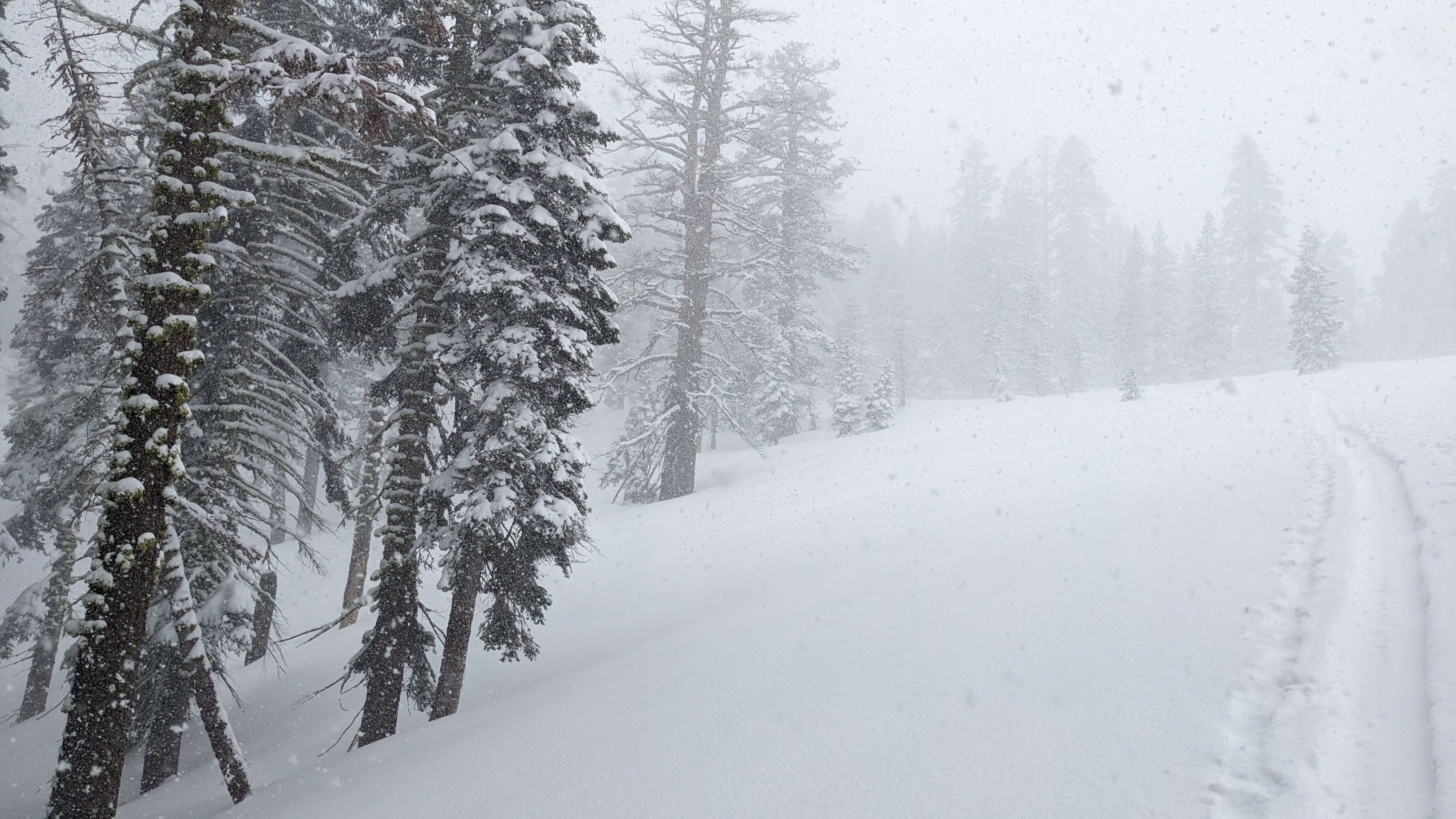
Convective snowfall starting around 11:30 am dropped a quick 1 cm of new snow. This new snow deposited on top of 1 cm thick sun crust formed this morning.
Wind slabs up to 6 inches deep existed below cornice features, but had very little in the way of down slope extent to slab development.Weather
- Cloud Cover
- broken
- Wind Loading
- light
- Recent Snowfall
- 10
- Snow Avail For Transport
- moderate amounts
Occasional sun breaks during the morning hours. Increased snowfall began around 11:30 am with sustained convective snowfall.