
Quick report
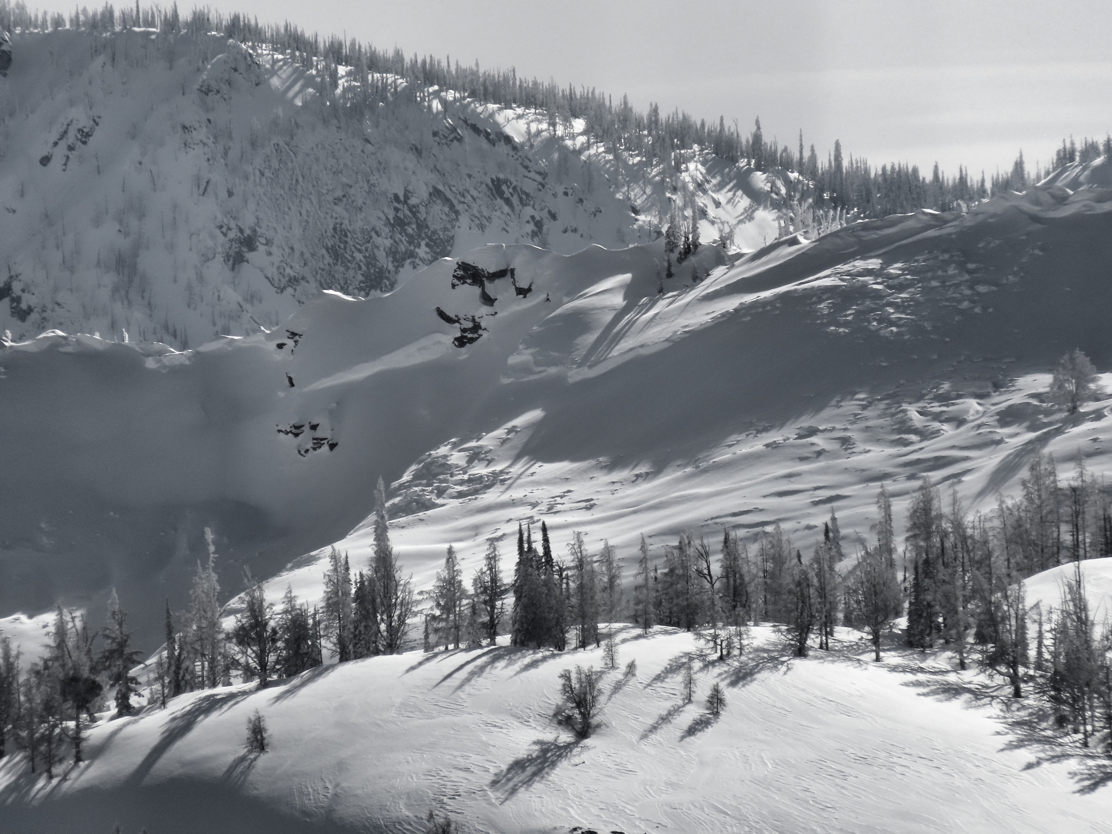
I observed the aftermath of quite an impressive avalanche cycle in the Bitterroot today. Many avalanches failed over 1,000 feet wide. The widest one I saw broke a mile wide, wrapped around significant terrain features, and dropped debris into two different drainages. I also saw some fresh glide cracks opening up.
Today was cool, with light winds and decreasing clouds through the afternoon. I saw some small wet loose avalanches failing on steep slopes with rocks, but they were just augering into the piles of fresh snow below. Cloud cover was variable, but we put a bit of a crust on S-W-W, with drier snow remaining on E-SE.
No direct signs of instability in the snow I moved through, but I traveled cautiously. It was hard to ignore the miles of cumulative crown lines (zero exaggeration here) that I observed.
This storm didn't do anything to help the access and low elevation snowpack in the Bitterroot, with heavy rains falling below 6,000'. in the middle of the storm.
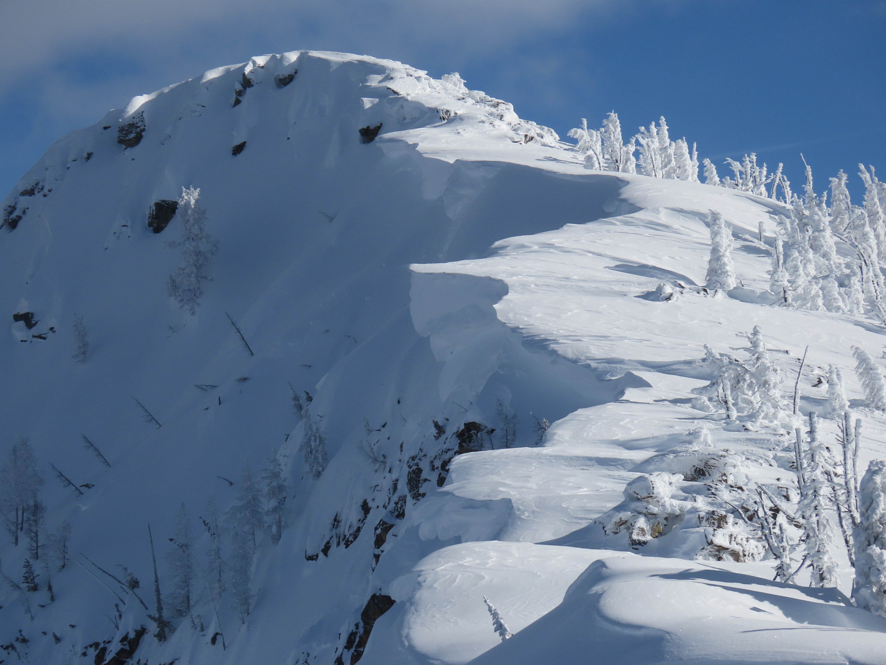
There are some giant cornices out there, waiting to be unglued from the ridgelines they are perched on. These will be effective triggers for our now-deeply buried weak layers when things get cooking this week.
Aside from the widespread natural avalanche cycle, I observed no instability in the snow I moved through.Weather
Mid-level clouds hanging over the crest of the Bitterroot in mid-morning into early afternoon, gradually clearing into the afternoon. High clouds building on the western horizon by the end of the day. Light westerly winds occasionally gusting to moderate speeds, sifting small amounts of snow around. Felt cool/cold up high when the wind was blowing.
Snowpack
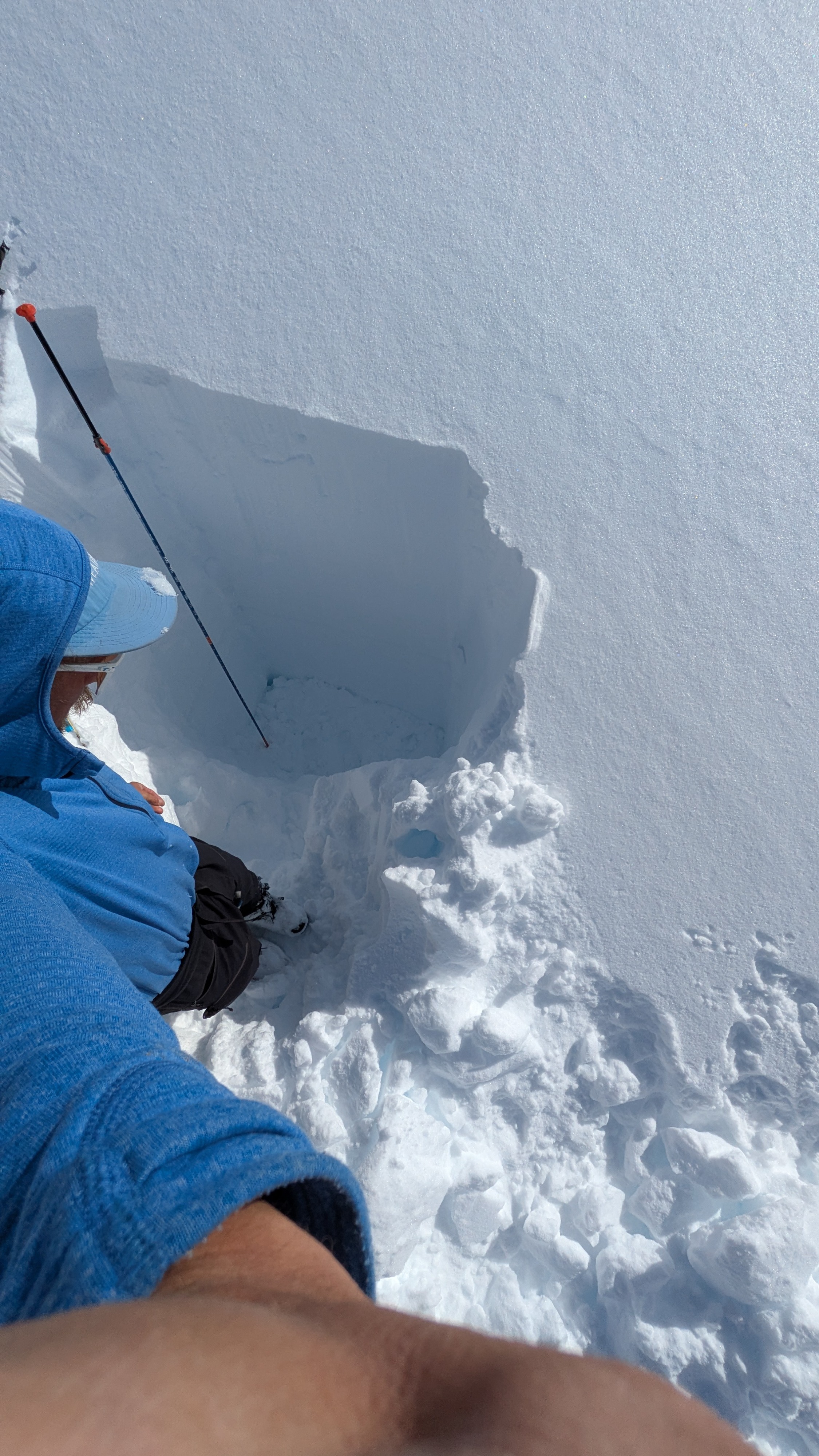
It had rained a large amount up to around 6,500' towards the tail end of the storm, probably Friday. There was an increasing amount of post-cold front snow on top of this. About an inch at 4,000', a few inches at 5,000', 6-8 inches by 6,000', and 12-16" by the time it was fading away around 6,500. As expected based on the two SNOTELs, I found a wild amount of settling storm snow up high. A pit at 6,800' showed the new/old interface that we buried on Wednesday, down 4.5 feet (130-140cm) below the snow surface. The January drought layer was buried 6+ feet below the surface, and the V-day layer was about 6 inches above it.
Avalanche
- Size
- D3
- Aspect
- NE
- Trigger
- NC
- Elevation
- 8200 ft
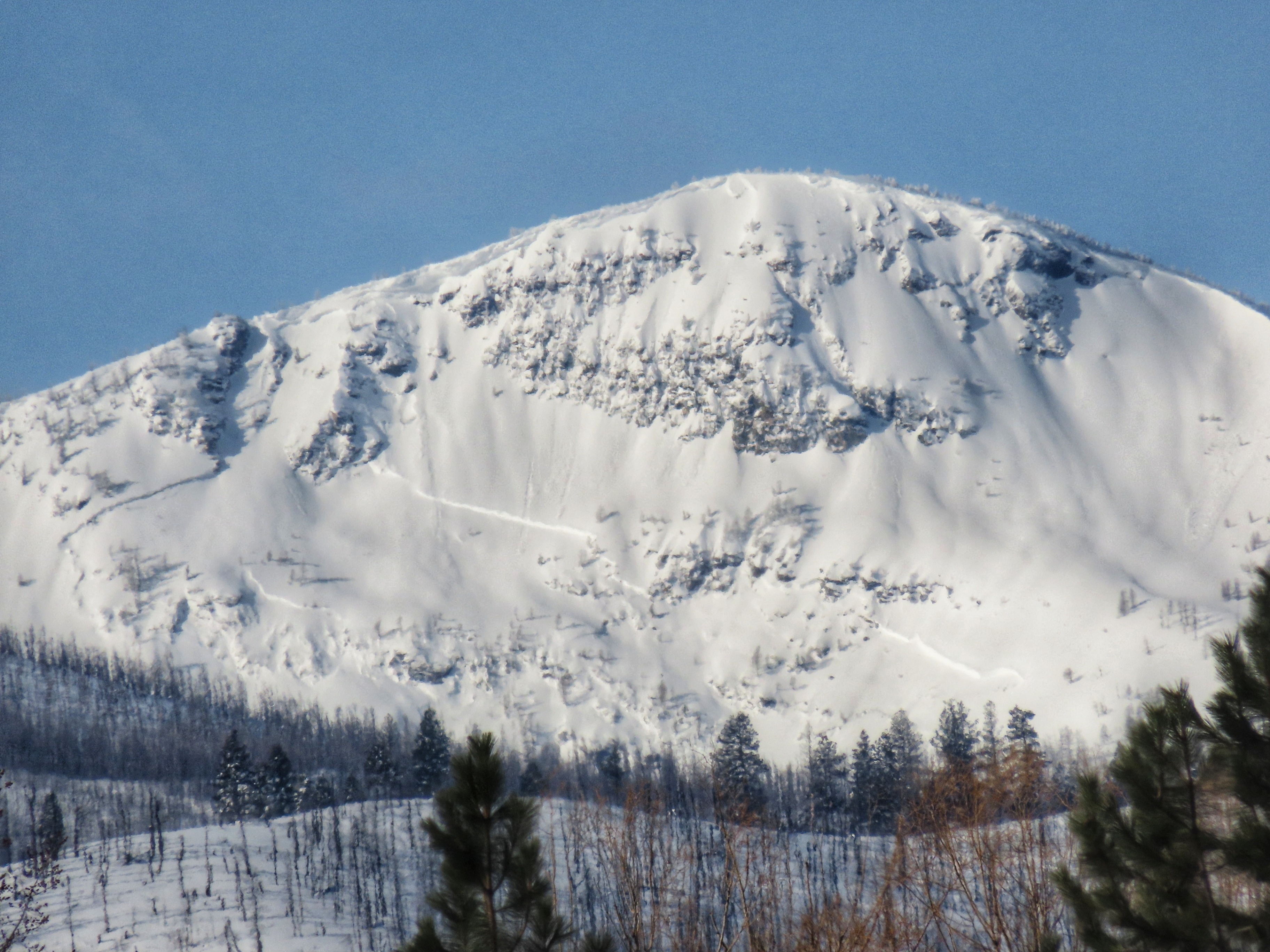
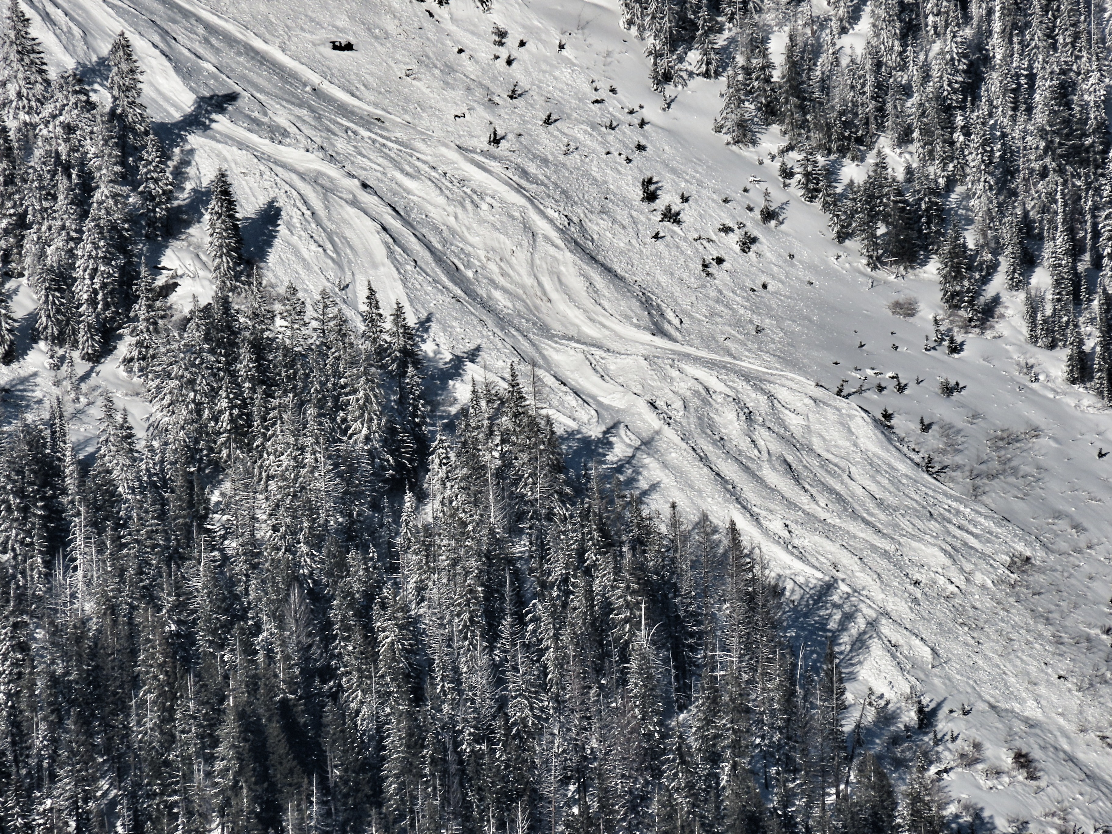
On the drive down, and while moving through the mountains, I observed the aftermath of a widespread cycle of natural avalanche activity. I saw very large avalanches on Lolo, Crown Point, and St Mary from the highway. The Ohio slide path (first major path that crosses the Lost Horse road) had run to within a few hundred vertical feet of the road. The debris looked wet, I suspect it failed as a dry slab avalanche and ran into rained-on-snow below. Looking around from up high, I saw an impressive show of avalanche activity, particularly looking south and west. At least one observed avalanche broke a mile wide, with average estimated crown depths in the 6-10 foot range.