
Quick report
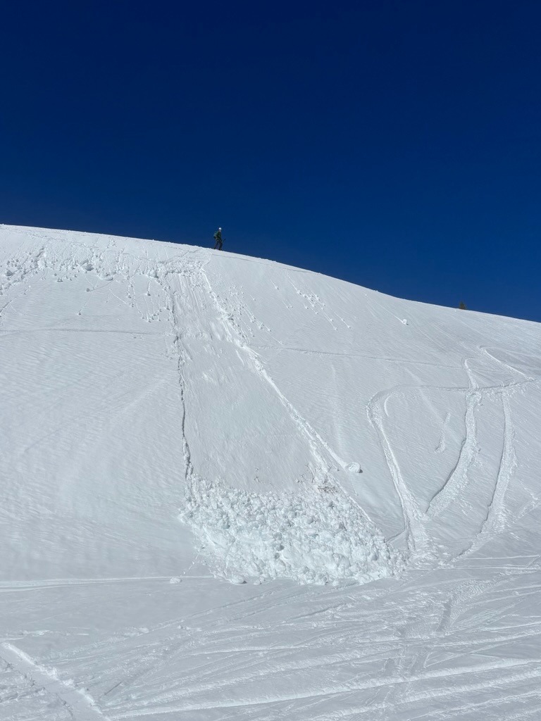
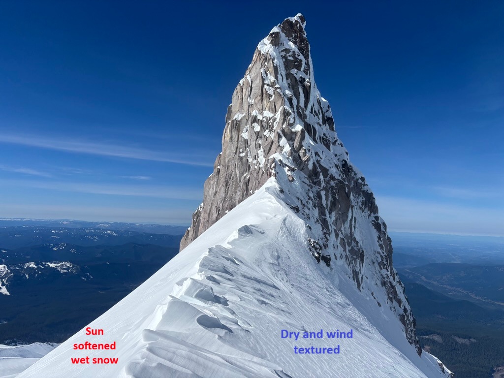
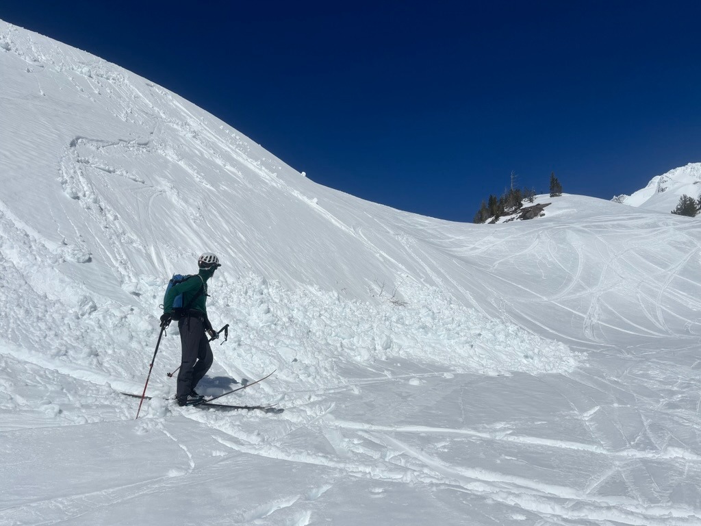
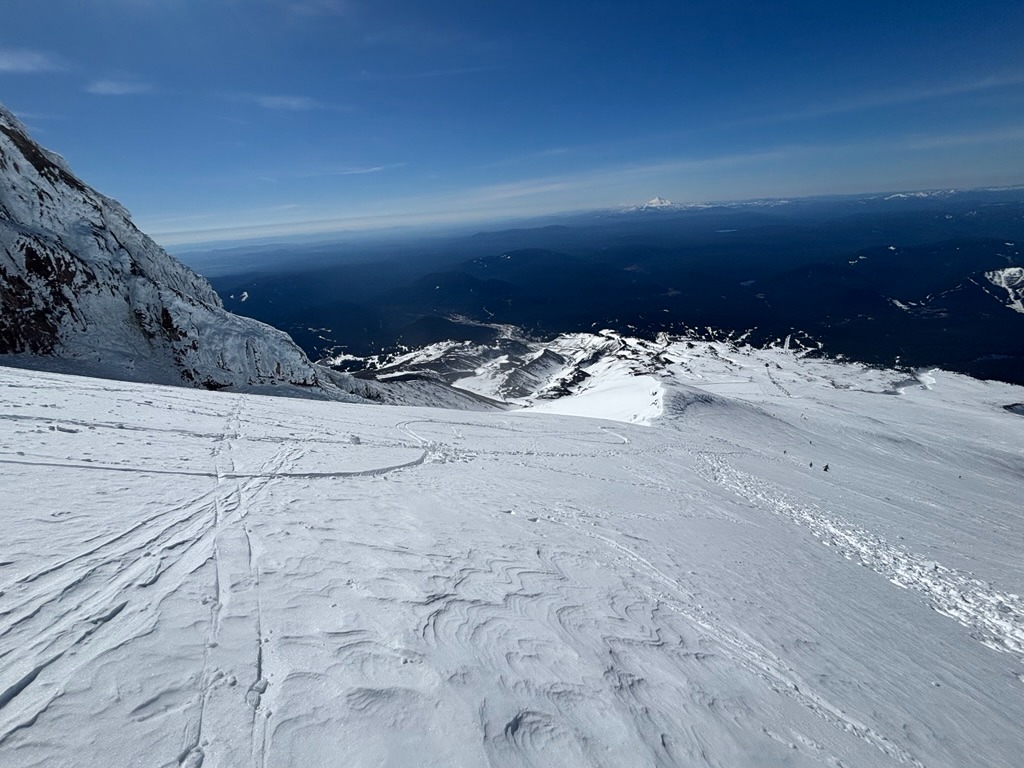
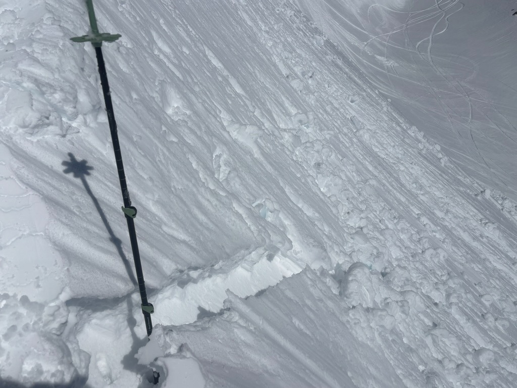
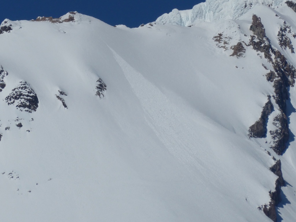
The morning started fast and firm over a ski, but not always boot supportable crust. Daytime warming helped loosen up surfaces, but also weakened the upper snowpack. It wasn't until we descended below 7000 ft that surfaces became quite sticky, and it was right around this elevation that we were able to easily trigger small wet loose running on dry snow just above the stout 3/31 crust. While it may feel like volcano season with the high pressure, the snowpack isn't quite there yet. Shaded aspects at upper elevations still harbor wind-affected dry snow and more southerly aspects haven't fully transitioned from dry to wet yet.
Instability was confined to slopes with wet snow.Weather
- Air Temp
- 40s
- Cloud Cover
- clear
- Wind Loading
- none
- Recent Snowfall
- 0
- Snow Avail For Transport
- small smounts
Snowpack
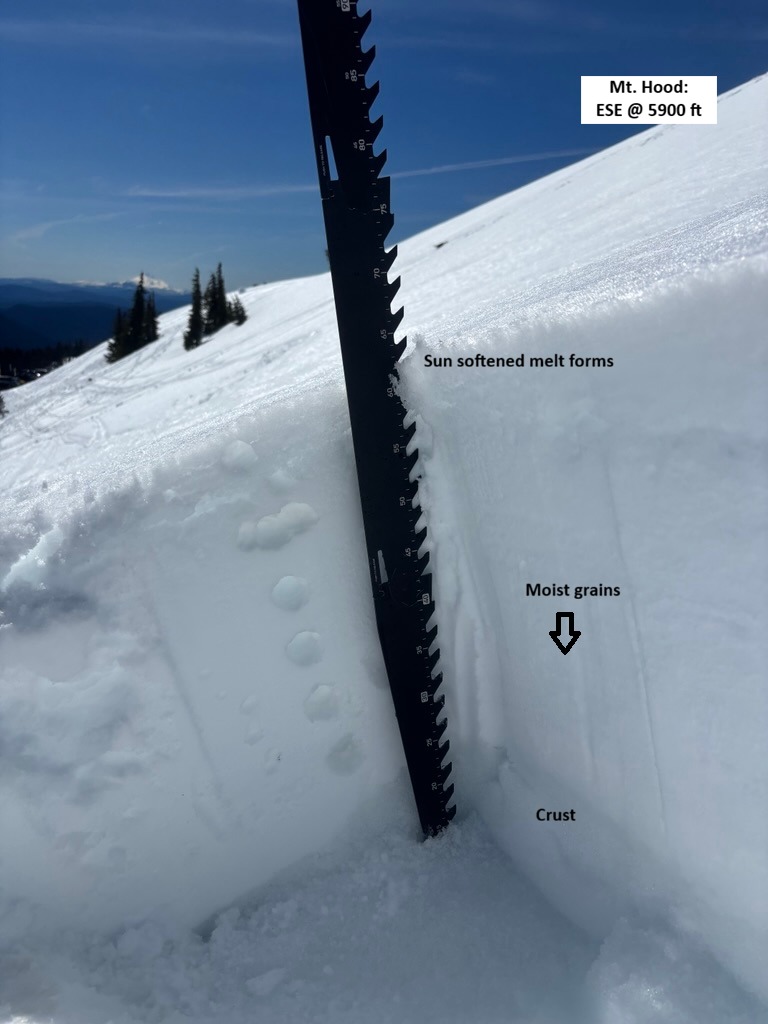
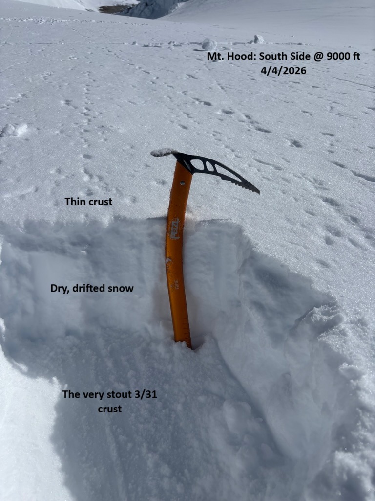
Most aspects on the south side had a crust during the morning hours and digging around in the late morning, I found the top 10 cm breaking down into melt forms. Beneath these melt forms are still layers of dry to moist snow, depending on elevation and aspect. In general, I was finding 20-35 cm of recent snow since 3/31 resting on a widespread stout crust. Snowpack tests produced unremarkable test results at a middle elevation location.