
Quick report
- Cracking
- specific
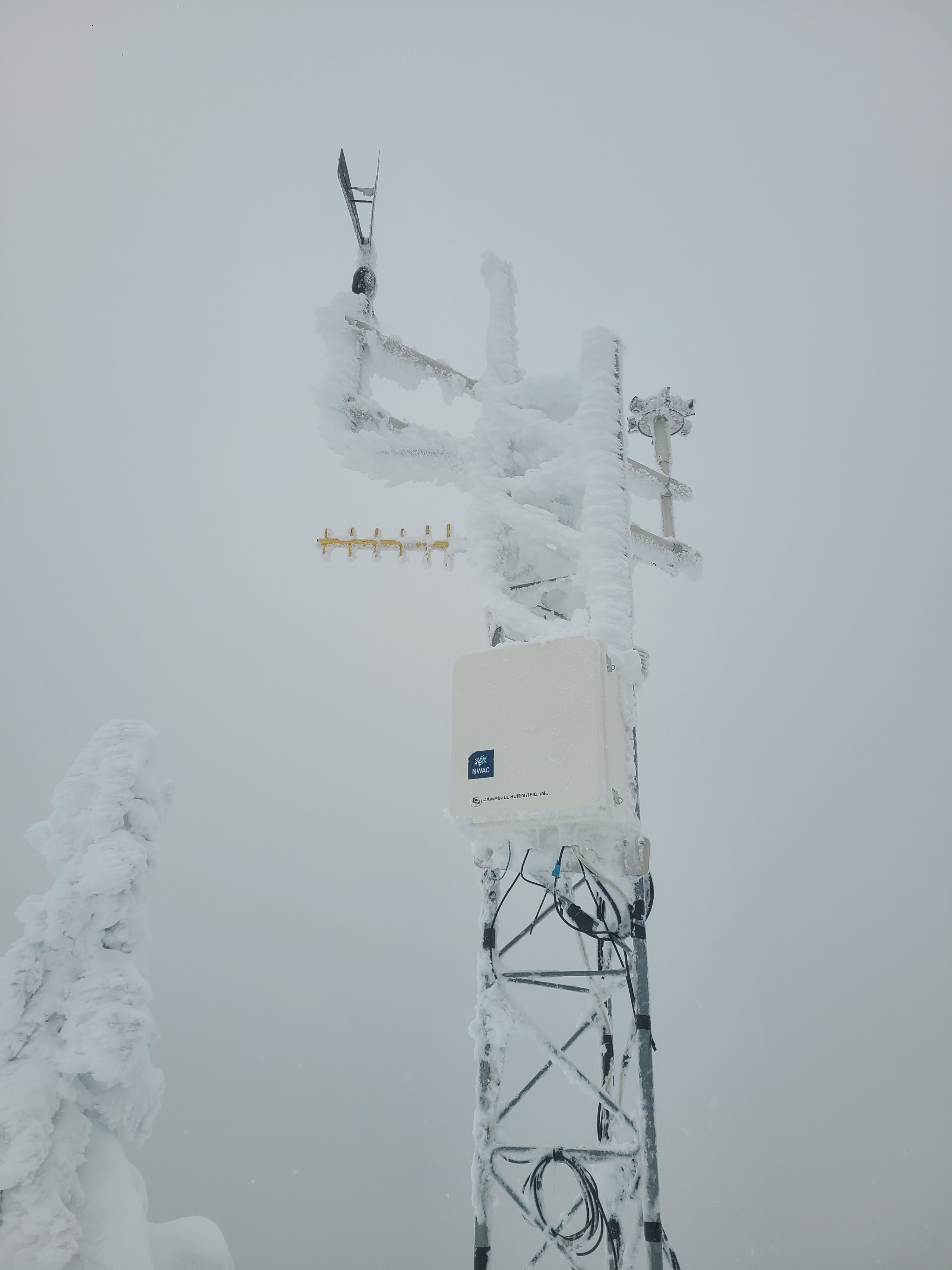
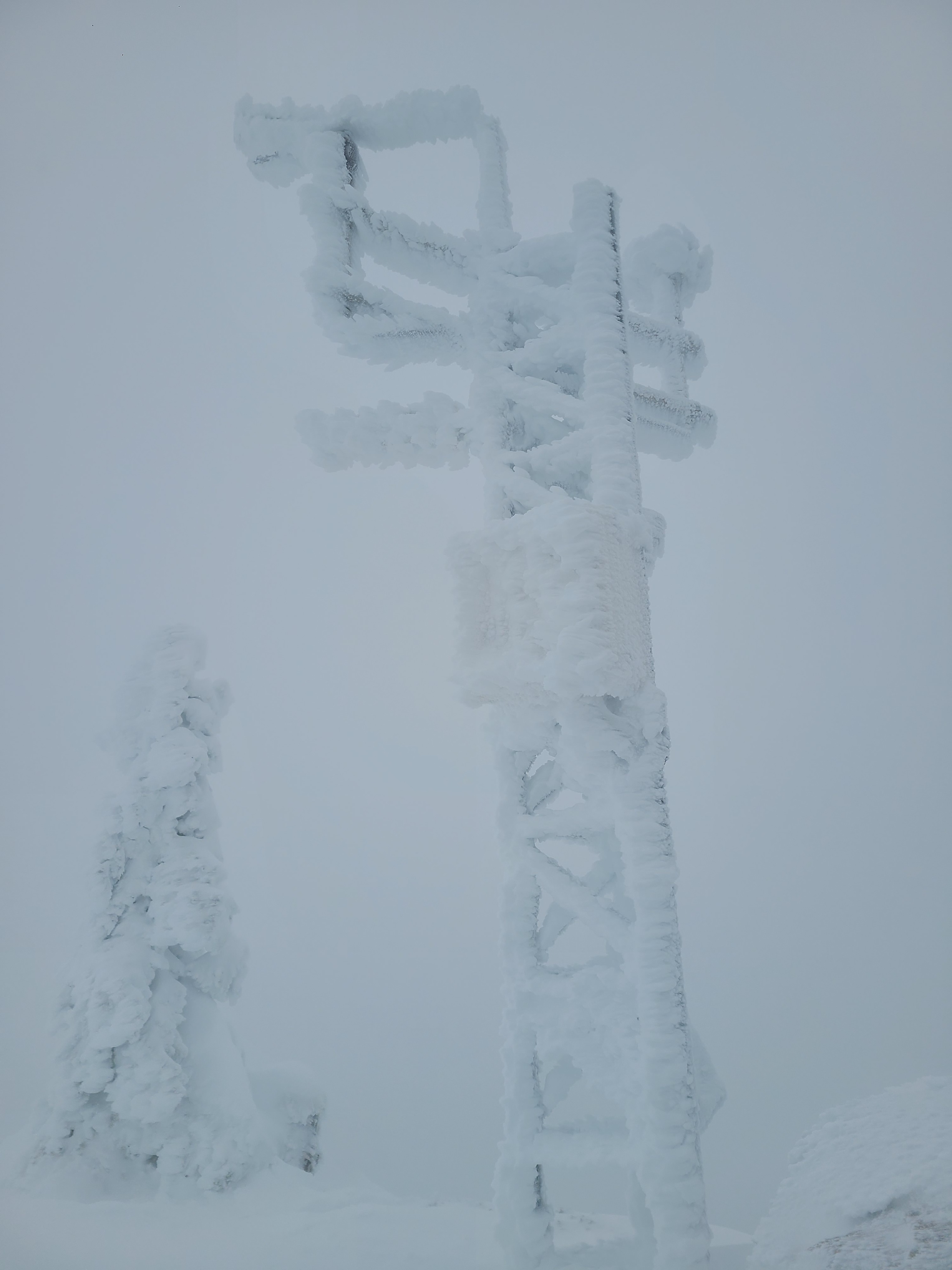
It was a windy, wet day out there, with plenty of downed trees to cut our way through to get into the mountains. But we did manage to make it to the weather station and get it back online.
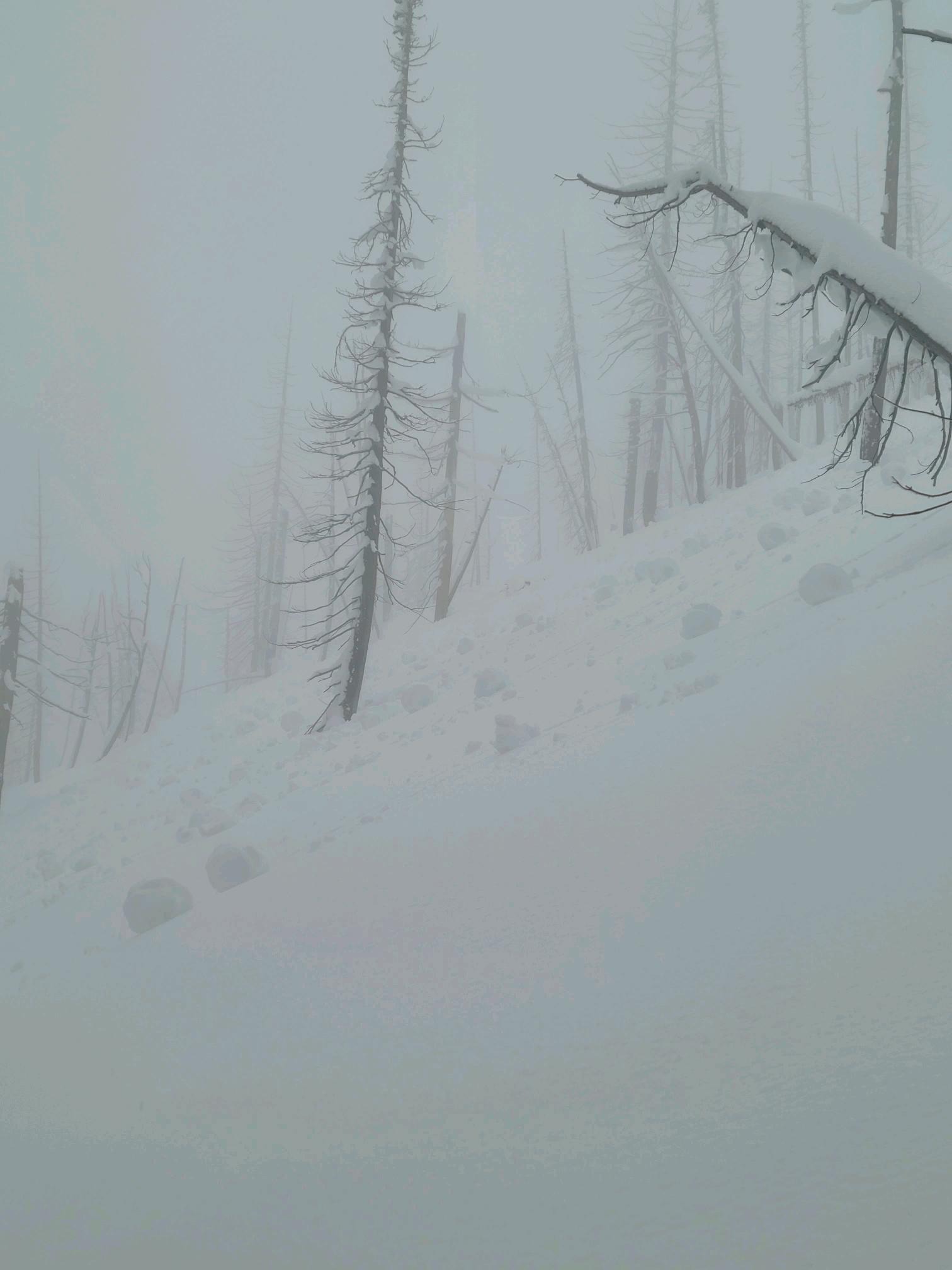
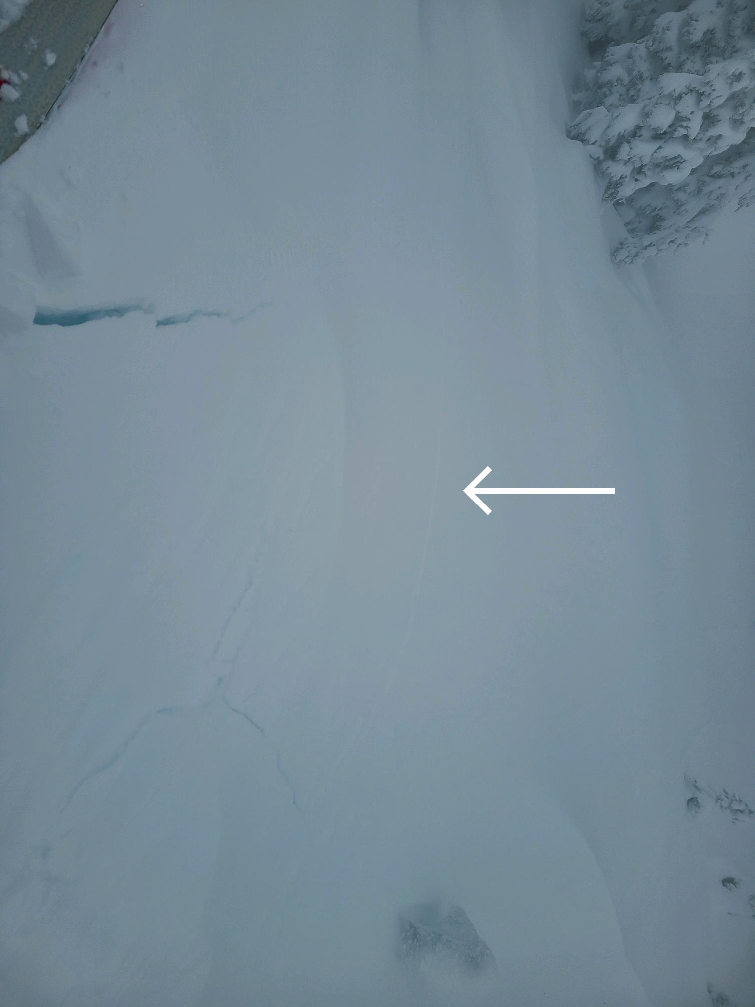
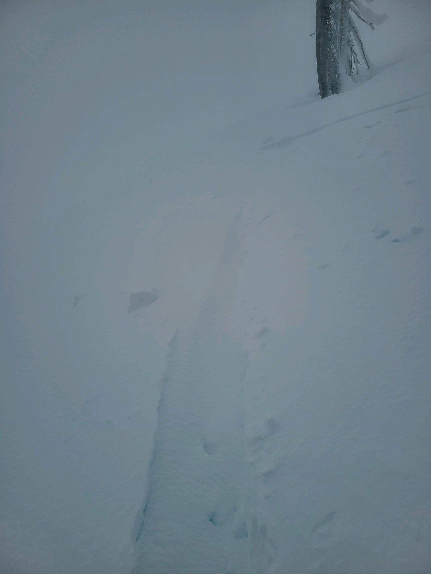
Steep, wind-loaded pockets would produce minor cracking, and there were lots of rollerballs and pinwheels on steep terrain. Despite the dense snow, winds still drifted it around, and snow quickly refilled our skin track along the ridge. While the recent storm snow didn't seem as sensitive as we may have expected, the creepy feeling of punching through heavy snow into lighter snow kept us from traveling into steep terrain.
Minor cracking in steep wind-loaded slopes.Weather
- Cloud Cover
- overcast
- Wind Loading
- moderate
- Rain Elevation
- 3000
- Recent Snowfall
- 17cm
- Snow Avail For Transport
- moderate amounts
A stormy morning gave way to clearing and increasing winds in the afternoon. Precipitation was a snow/rain mix at lower elevations, changing to all snow by around 3000ft. We couldn't categorize it as dry snow until about 4500ft.
Snowpack
Surface conditions: Snow surfaces were soft at all elevations, transitioning from wet to dry with increasing elevation. Above 4800ft, stiff, wind-textured surfaces and drifts were common.
Snowpack:
5200ft, East Aspect
Height of Snow: 173cm
Summary: The top 17cm of snow is moist and heavier than the storm snow from earlier this week. This gave the upper snowpack an upside-down layering, and the surface snow failed easily in shovel-tilt tests. Below this, there is about 50cm of older storm snow with increasing hardness over a melt-freeze crust. The mid-pack is consolidated, rounded grains down to the December AR crust, buried 130cm deep. The top of this layer is beginning to refreeze and is pencil hard. But it remains wet and weak near the ground. There seems to be a favorable bond with both melt-freeze crusts in the snowpack. Aside from the shovel-tilt tests, formal stability tests were unremarkable.
Snowpack Tests:
CTN
ECTX