
Quick report
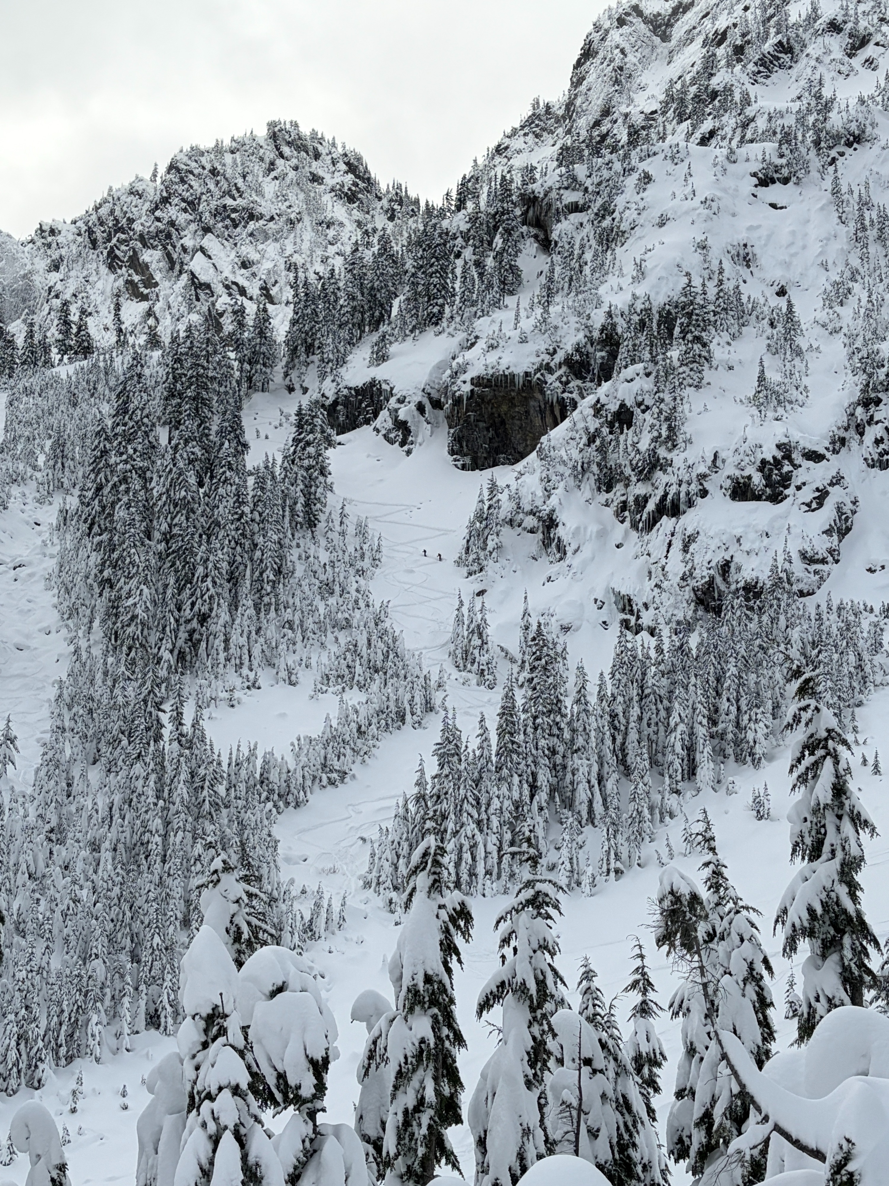
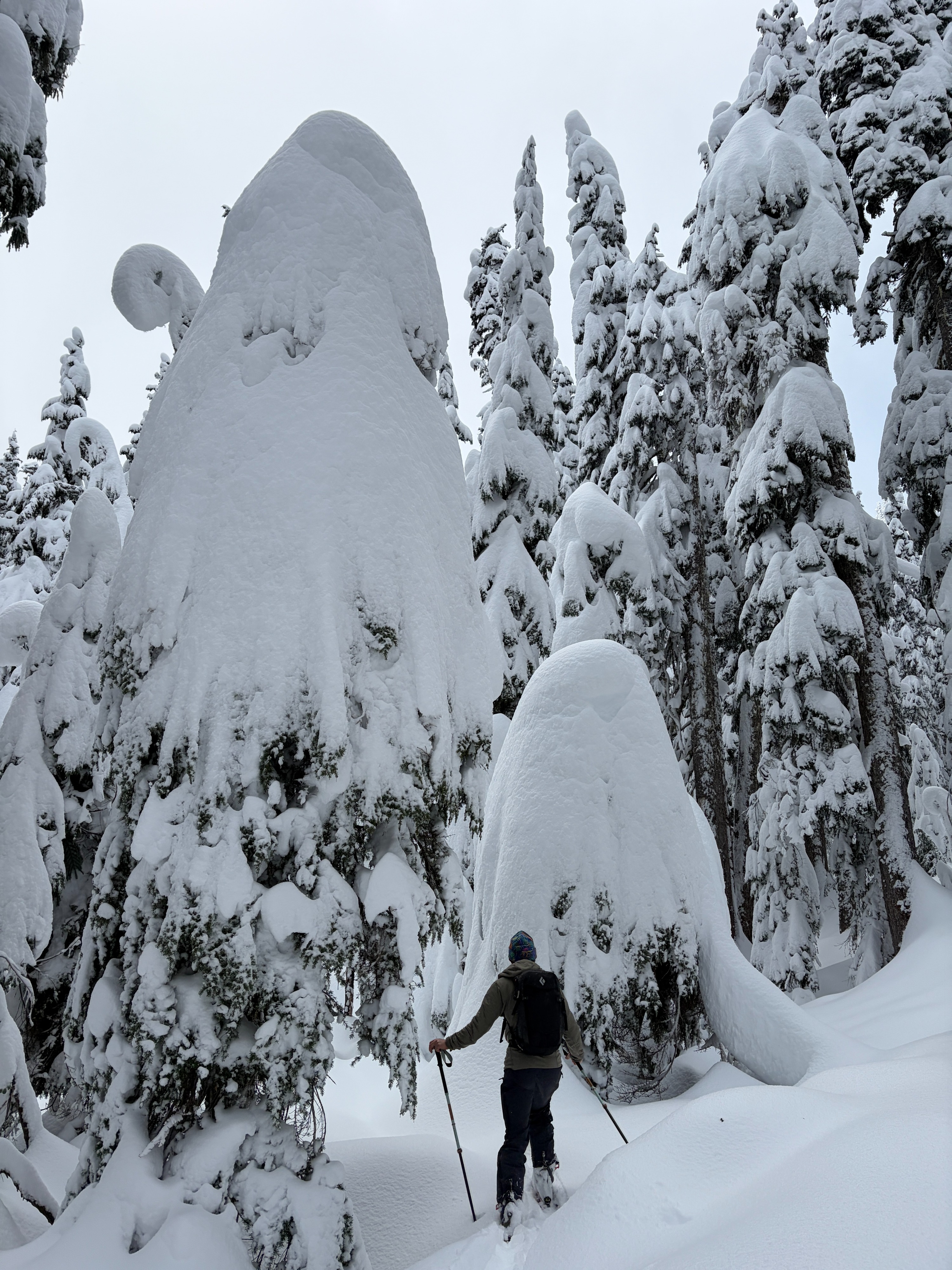
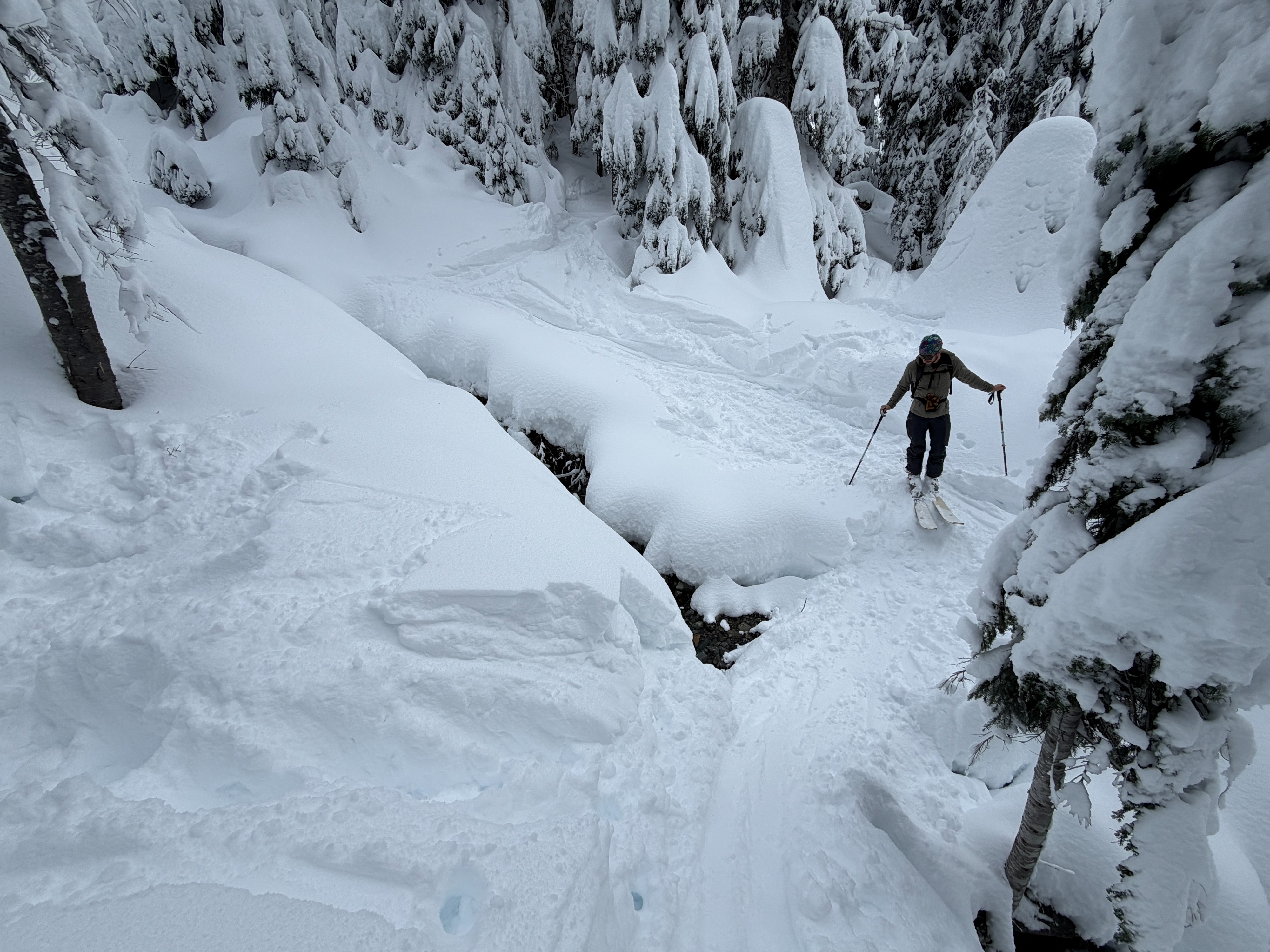
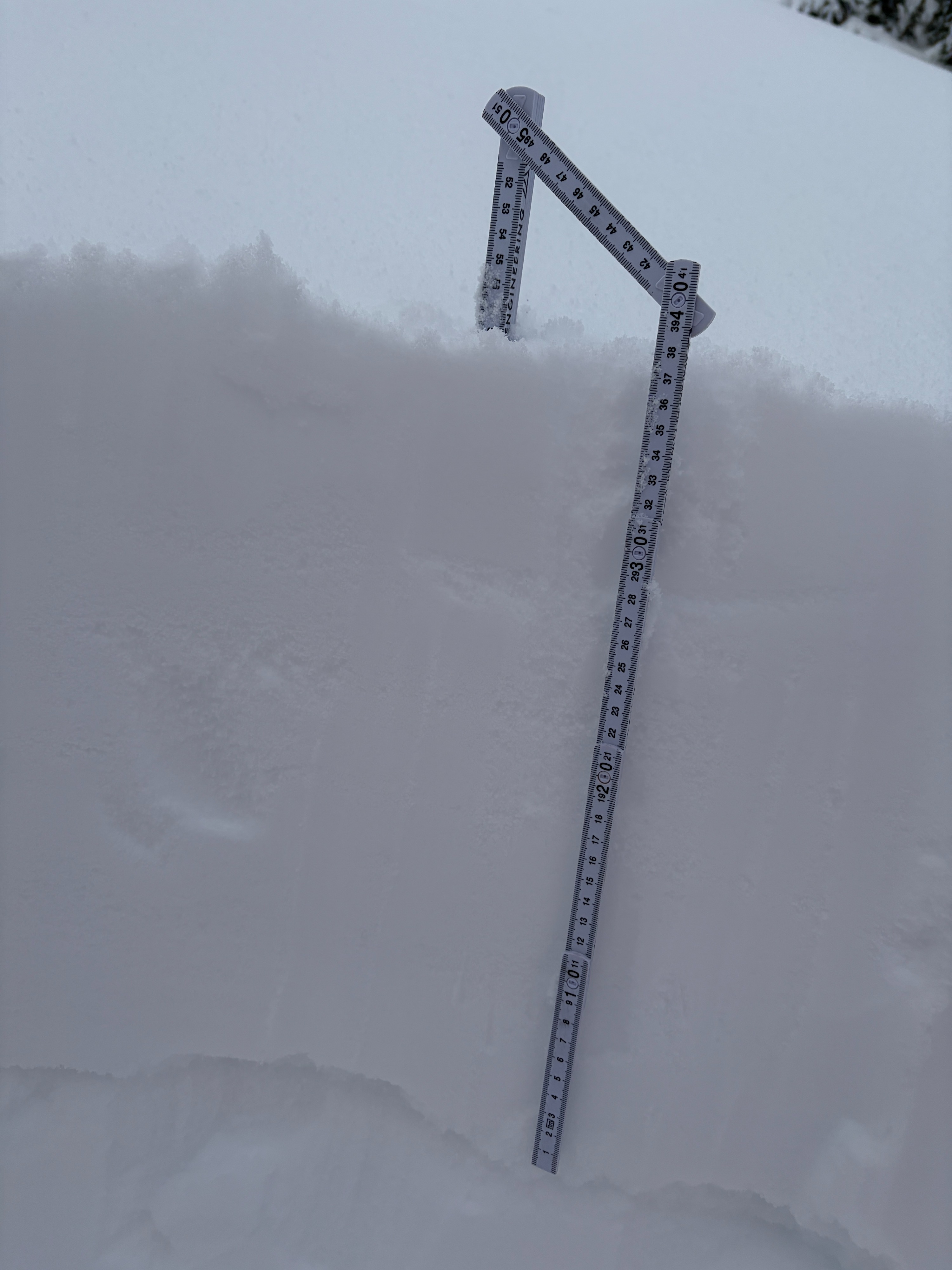
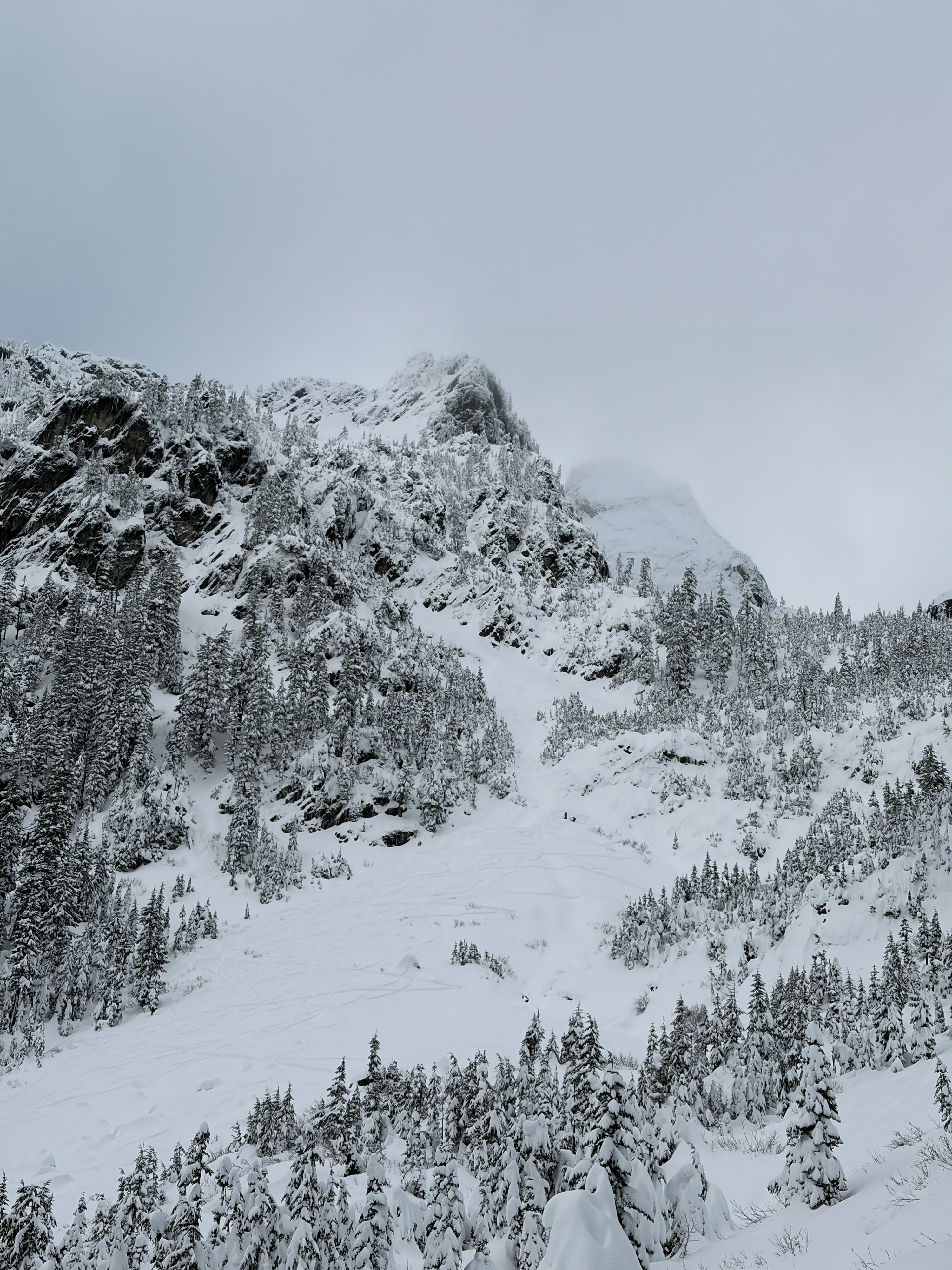
It was a busy morning in the Alpental Valley, and especially around Source Lake. Many parties made their way up to Pineapple Pass, Chair Peak, and the Snow Lake Divide. Last night's storm provided close to a foot of new, low density snow, greatly improving snow travel conditions. Snow depths ranged 3-4.5' on the ground near Source Lake, though I suspect this number will drop a bit as the new snow consolidates.
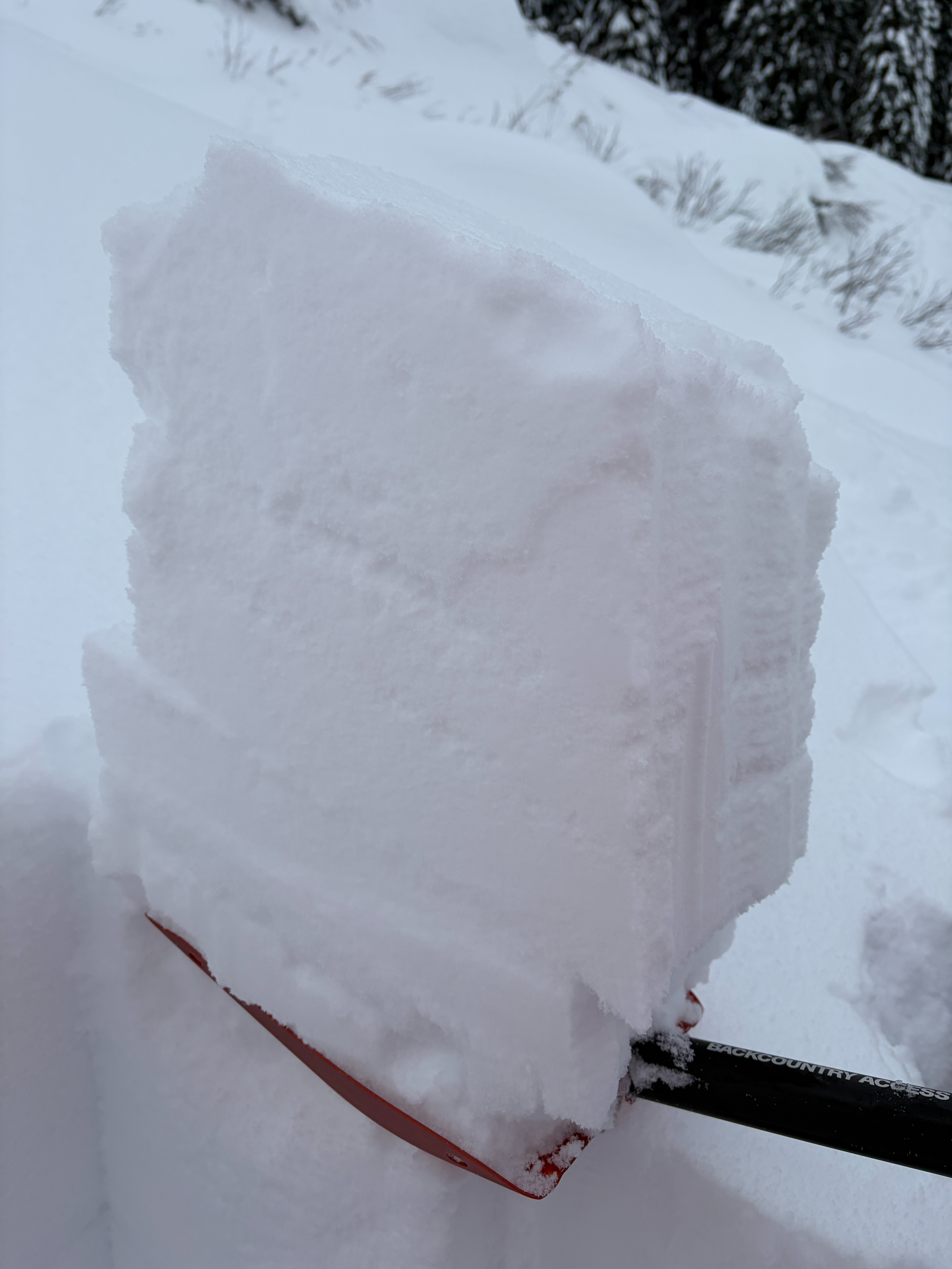
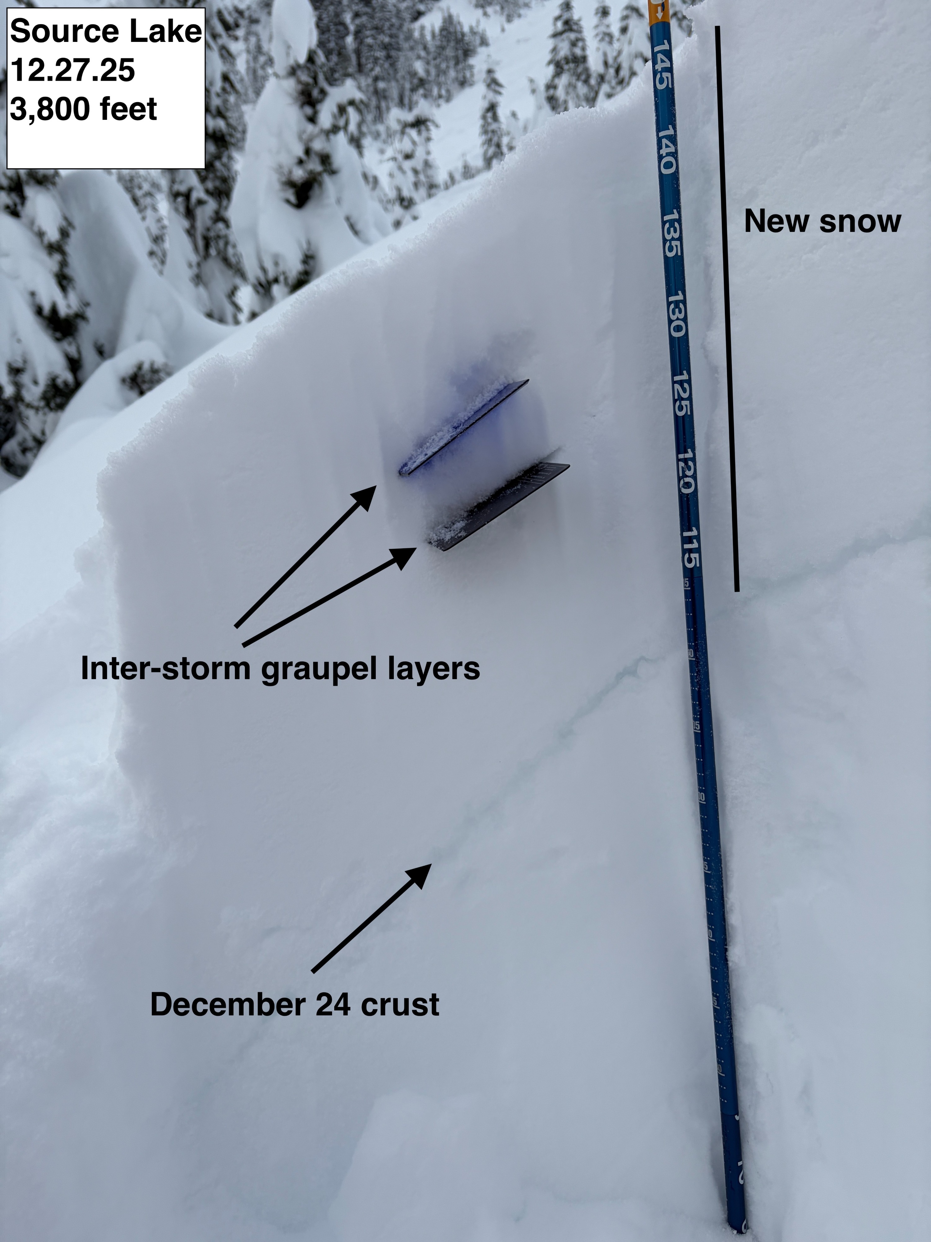
No significant avalanche activity was observed in low and mid-elevations. Pit tests showed minimal reactivity within the new snow, or on the 12/24 crust.
Weather
- Air Temp
- 28
- Cloud Cover
- broken
- Wind Loading
- none
- Rain Elevation
- 1500
- Recent Snowfall
- 20-35
- Snow Avail For Transport
- large amounts
A beautiful, calm, and cold morning in the Alpental Valley. Wind was unnoticeable at the valley bottom, with temperatures well below freezing. Upon returning to the car, temperatures had risen closer to 30 degrees.
Snowpack
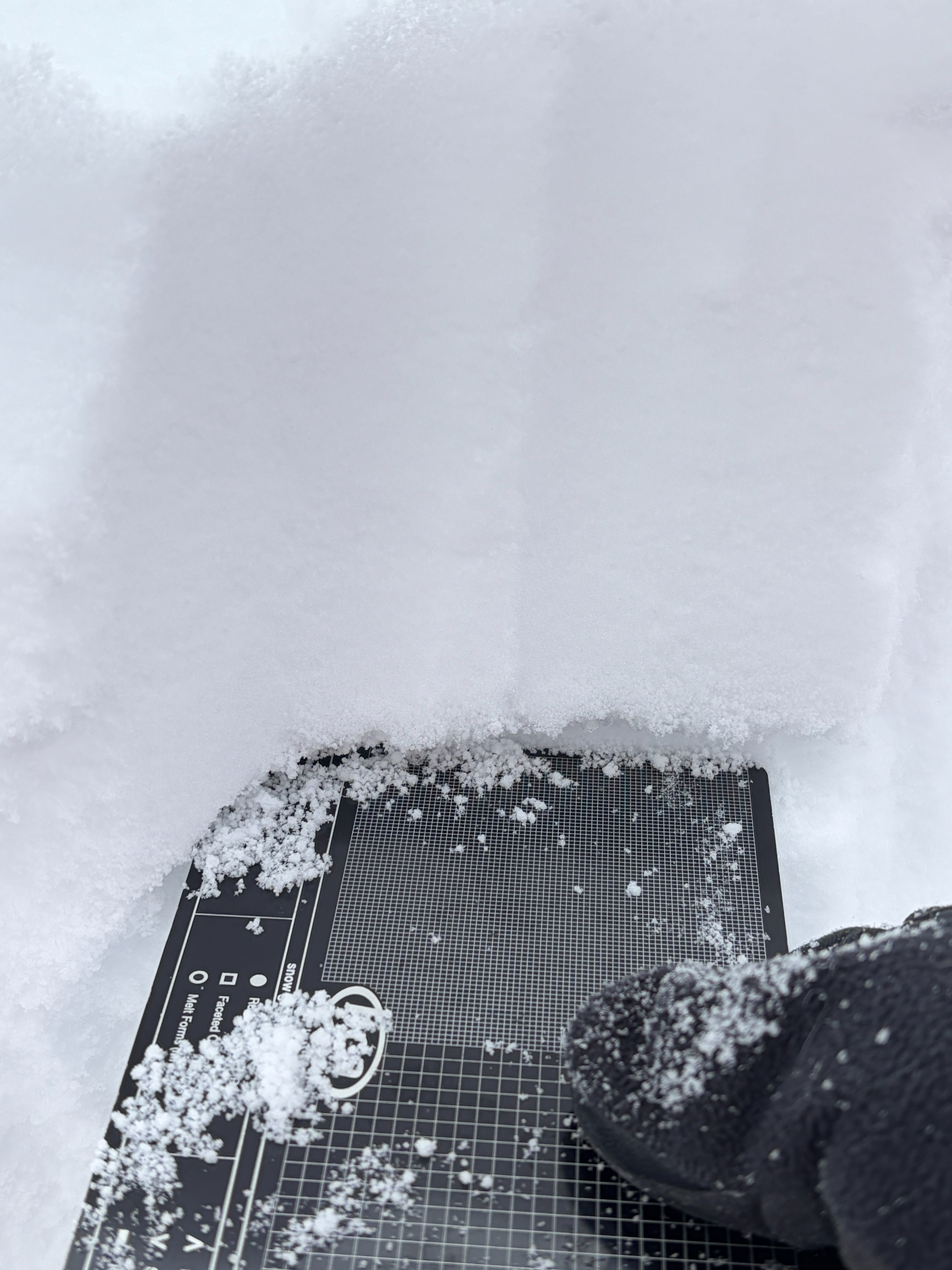
A fresh coat of low density snow fell overnight to the lowest elevations in the Alpental Valley. On average, 10–15" of fresh snow sits on top of the December 24 crust. The majority of that new snow fell Friday night into Saturday. The new snow fell “right side up” with heavier snow at the bottom, and lighter snow at the top. Two thin layers of graupel exist within the new storm snow, 4" and 8" beneath the surface. These graupel layers showed very little reactivity in pit tests. The December 24 crust continues to be friable, and around 0.5-1" thick.