
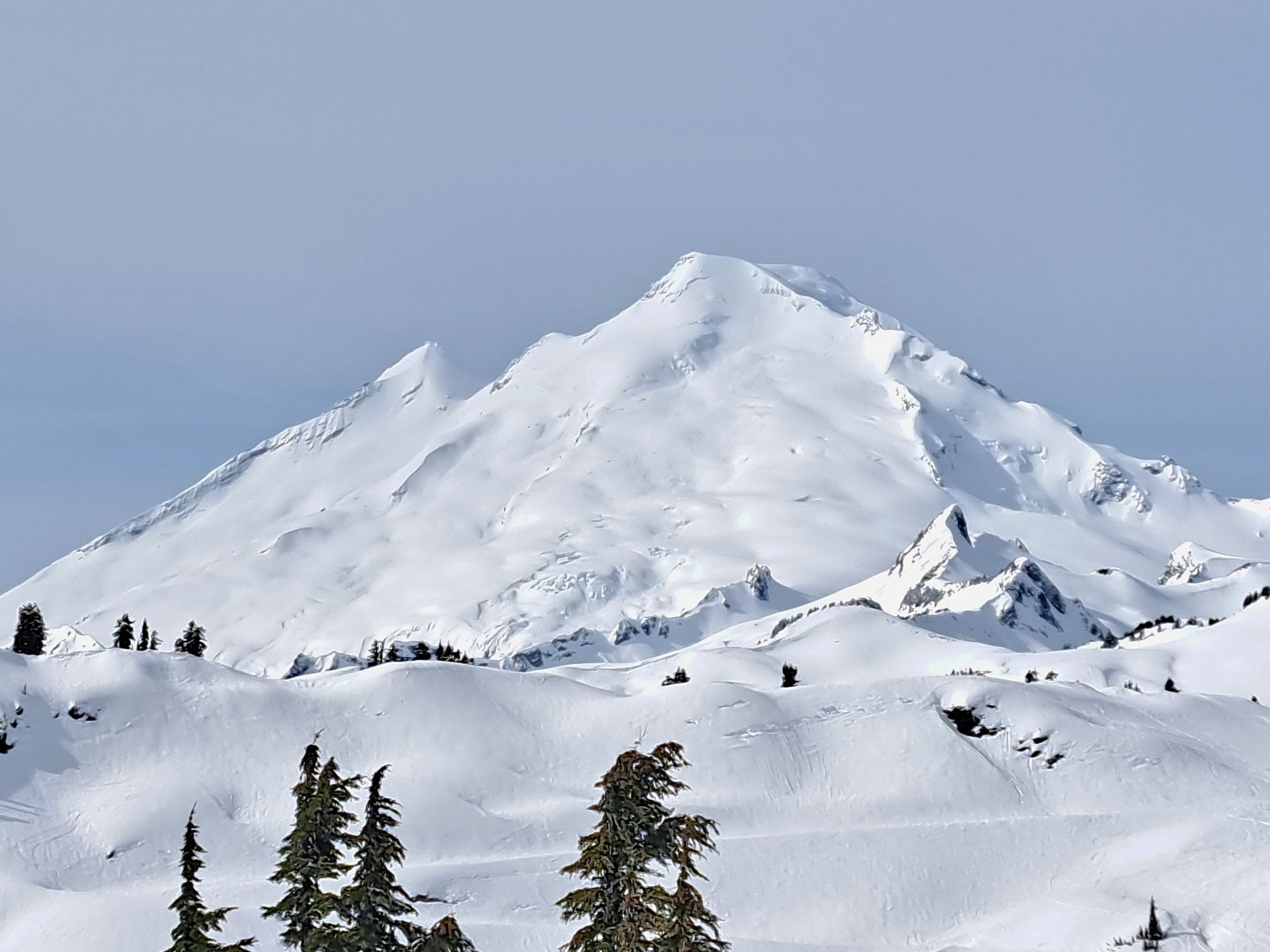
Quick report
It would have been a classic spring day, if not for the bumpy, bulletproof crust encasing the snowpack. Sun and rising temperatures may have induced softening on sun-exposed slopes, but increasing cloud cover was just as likely to keep meaningful warming in check. Any avalanche danger appeared limited to hanging glide chunks that could have released if it got warm enough. No obvious wind transport was visible up high, but there is just enough new snow at mid elevations to envision a few wind slabs in alpine terrain. The biggest concern going forward is faceted snow above the crust. This weak snow will likely become wetted up to the rain–snow line in the coming days, but above that, fresh slabs could be more reactive than usual.
Weather
- Cloud Cover
- scattered
- Wind Loading
- none
- Recent Snowfall
- 5
- Snow Avail For Transport
- small smounts
Scattered high thin clouds through the morning and slowly warming temperatures. Light southerly winds.
Snowpack
Roughly 5cm of 4F faceted grains (0.5mm) and larger decomposing fragments over a 20cm thick, knife-hard crust. Alternating layers of P or 1F melt forms and crusts below. Very strong snowpack with no layers of concern.
Avalanche
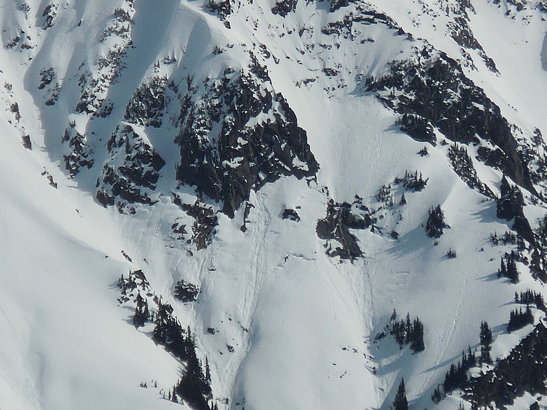
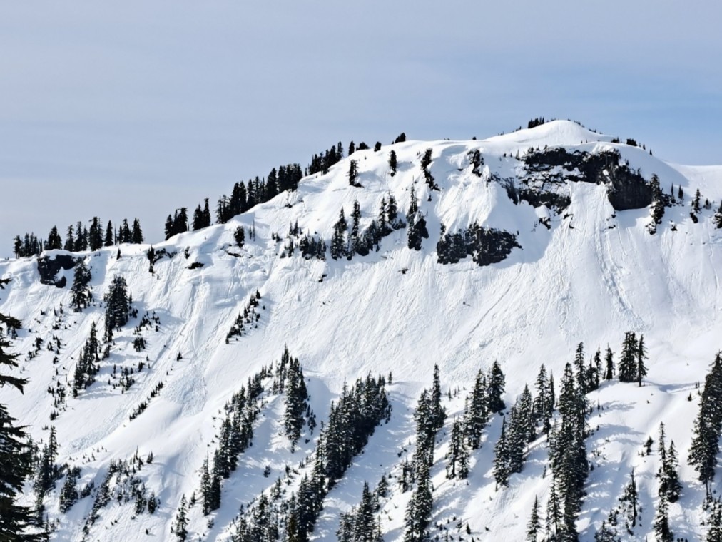
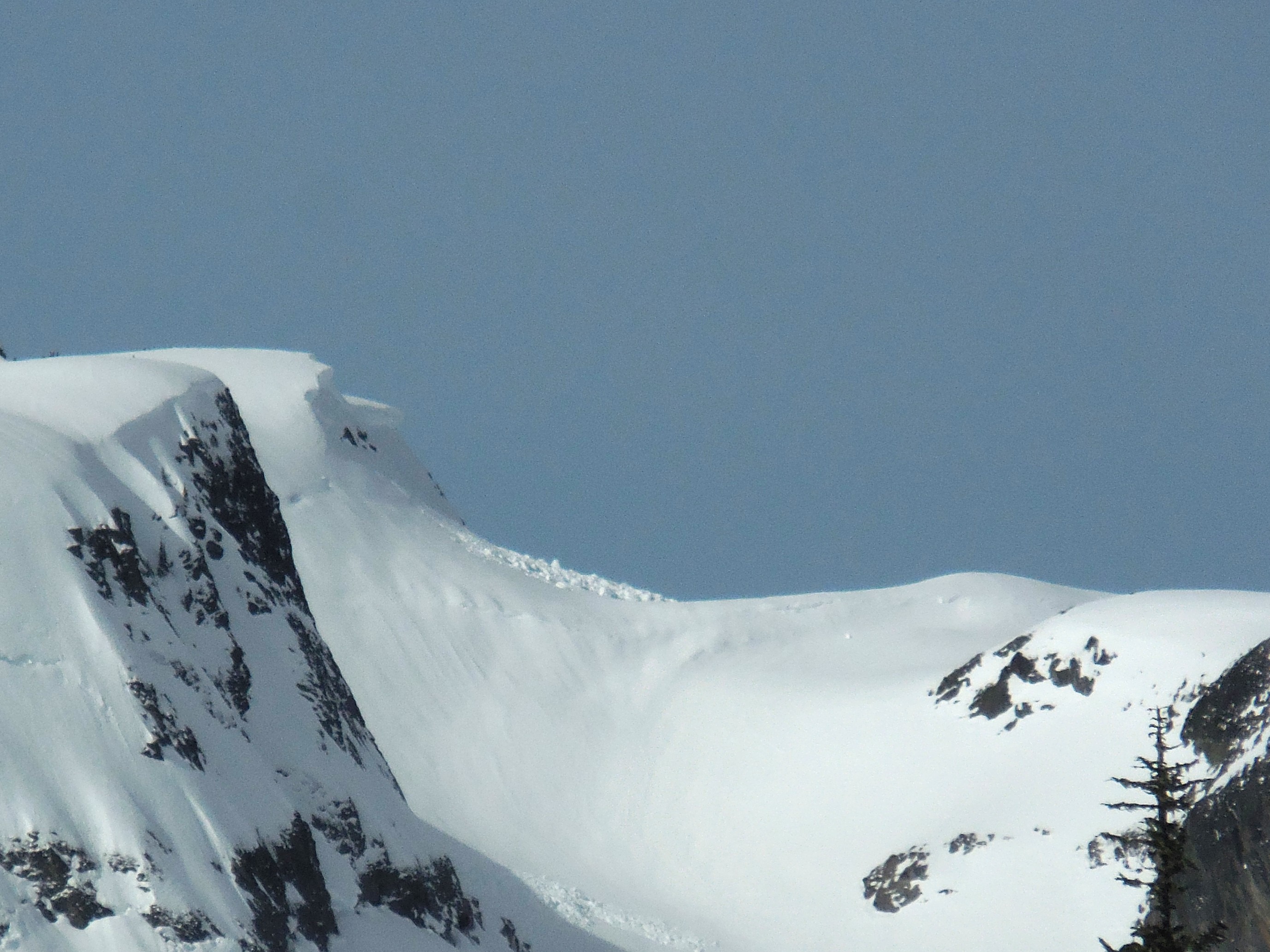
A variety of older wet loose, glide, and cornice fall avalanches up to D3 were visible on all aspects at mid and upper elevations, with debris reaching into low-elevation terrain above White Salmon Creek. Notably absent were the crowns of very large wet slab avalanches seen in other parts of the Cascade Range. While there was likely some amount of wet slab activity associated with the 8 inches of rainfall recorded at Heather Meadows, the snowpack structure here did not seem to produce much beyond relatively shallow wet slabs.