
Quick report
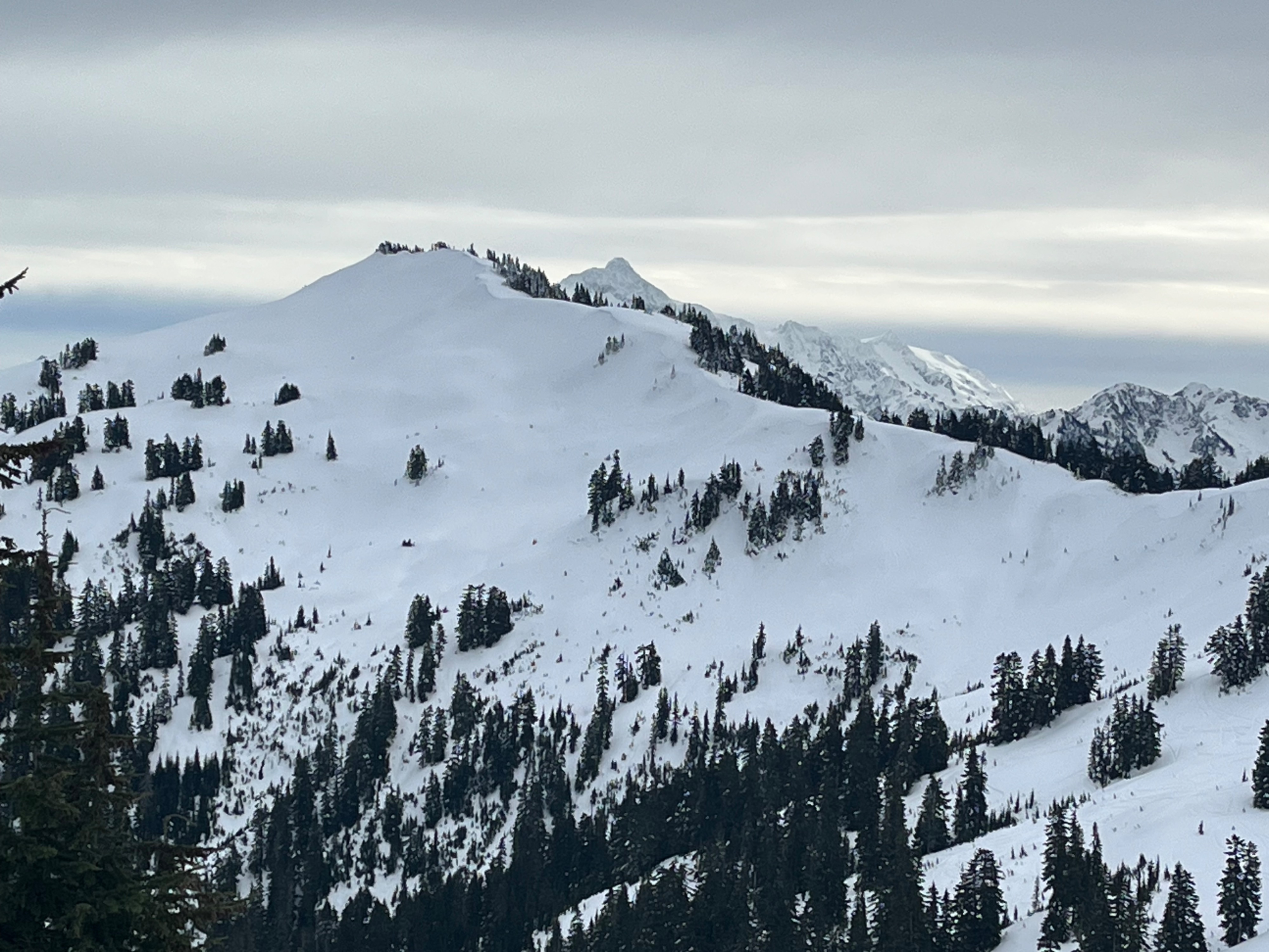
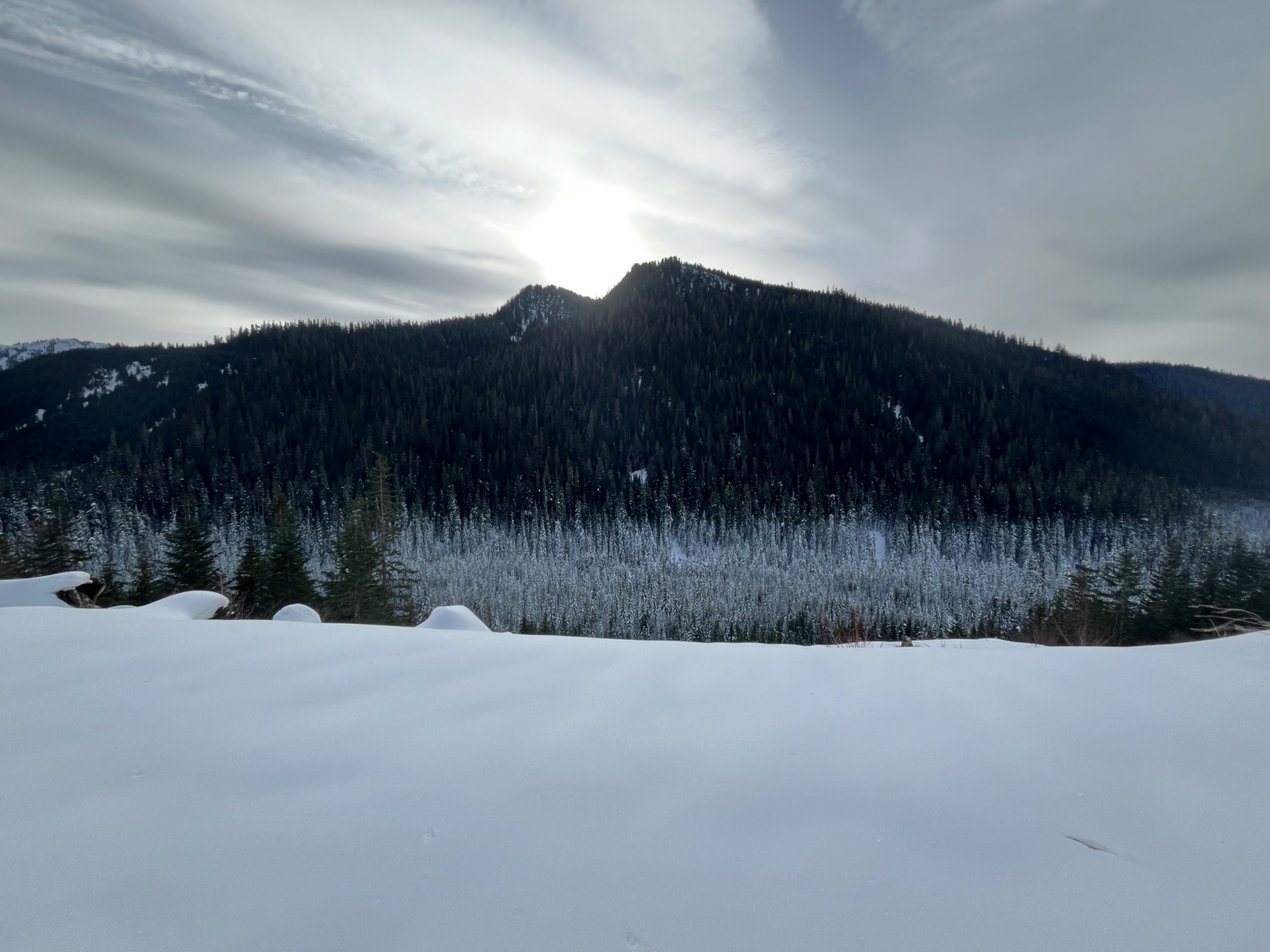
I wanted to check snow depths and investigate layers and snow surfaces in a location I haven't been to yet this year. The day was different from previous ones, due to overcast skies. This caused moistening of surfaces on all aspects and more melting out at lower elevations compared to previous days. Despite this, there wasn't enough wetting to cause any avalanche activity where I was. I didn't identify any layers in the snowpack of current concern.
Weather
- Air Temp
- 36
- Cloud Cover
- overcast
- Wind Loading
- previous
- Snow Avail For Transport
- moderate amounts
A very light SW breeze was present along the ridgeline, and temperatures felt "warmer" than the last few days, given the cloud cover. More snow was melting at lower elevations than previous days.
Snowpack
South-facing steep surfaces were textured with rollerballs, and north-facing slopes were light, dry snow. However, these north-facing slopes were just getting moist at the surface up through the mid-elevations due to the overcast skies.
A few sheltered meadows at mid and lower elevations had large surface hoar grains coating them, although ones I found today were moist.
Snow was 80cm deep at 4000ft and over 200cm deep at a slightly wind-affected location at 5500ft. There were 2 obvious crusts in the snowpack, which was the case where I dug today, and at Bearpaw the previous day. This 12/24 crust was just over a foot, or 35cm deep. I found a very subtle weakness just above the crust, but I didn't get any test results on that layer or any others. Snow progressively got harder, with a few more subtle crusts added in, just above the easily identifiable AR crust and moist melt forms. Here, the AR crust was easily cut through with the shovel- the layer was not fully frozen.