
Quick report
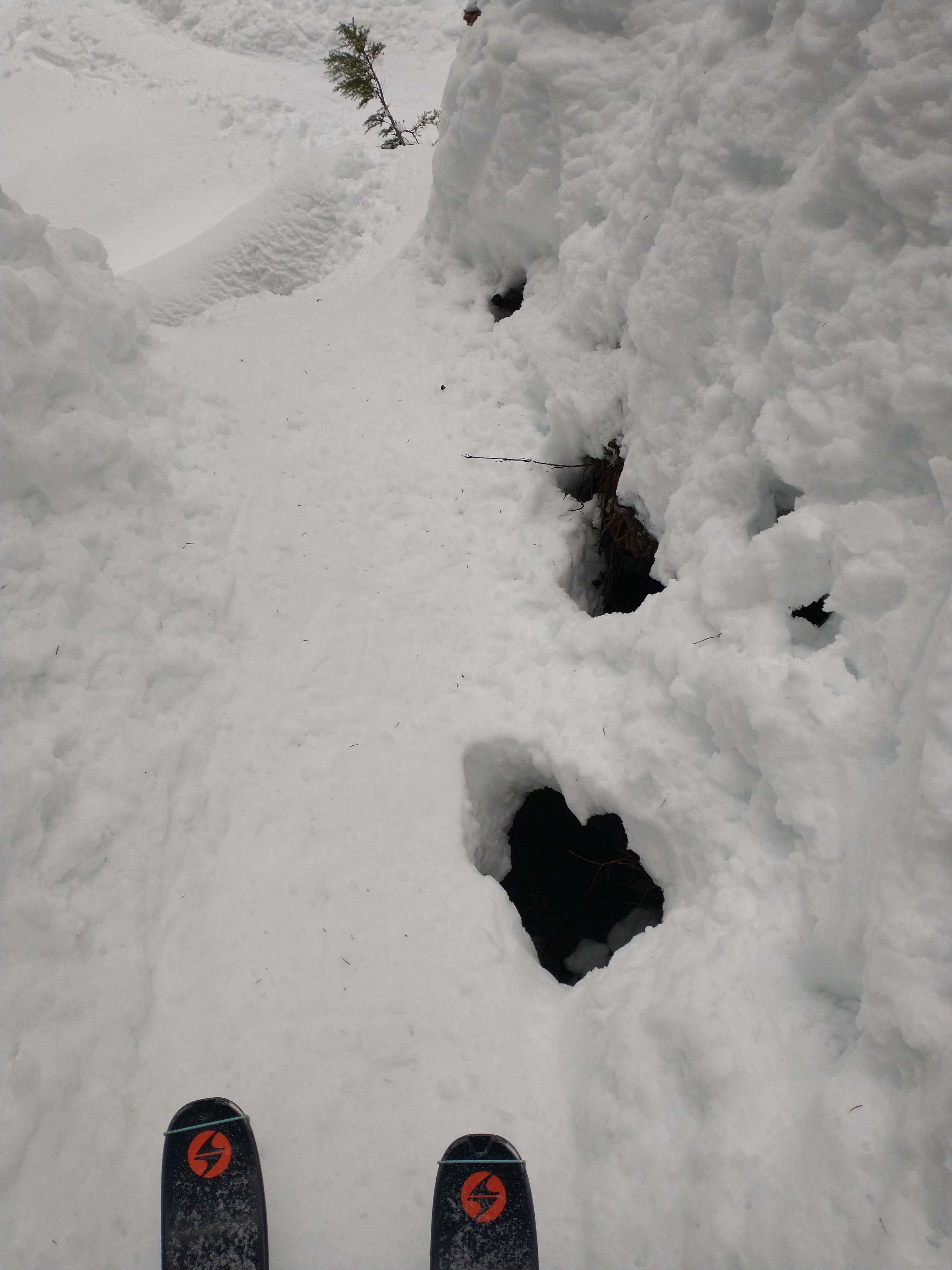
Lower elevations contain essentially no avalanche potential. The snowpack is generally strong and consolidated, but thin. A breakable surface crust was observed with some dry snow below it. This elevation band continues to present some challenging travel with holes and many open creeks.
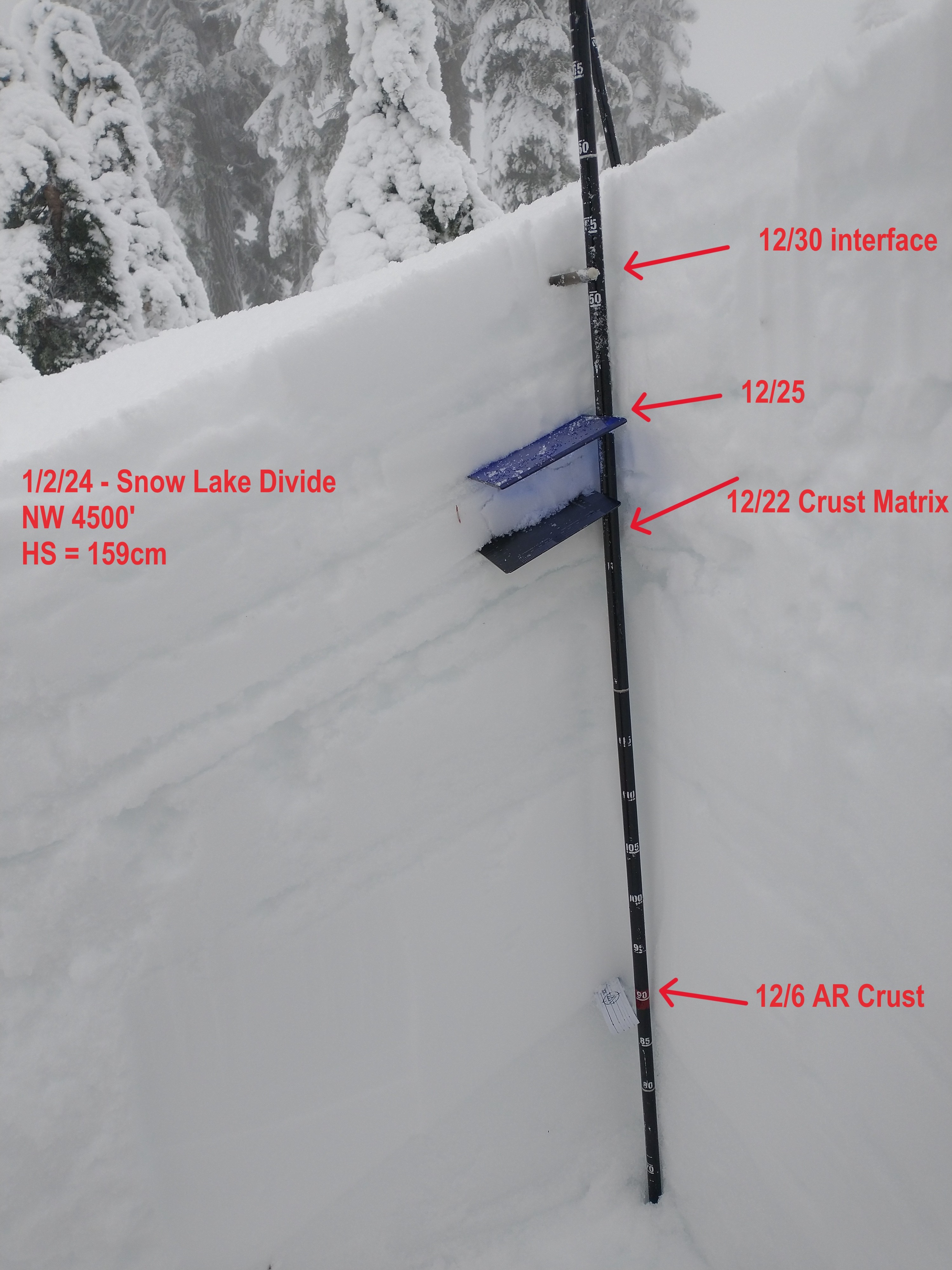
At middle elevations, the snowpack starts to increase in depth dramatically. As you ascend through this band, instead of a surface crust, a few inches of low-density snow were found over the 12/30 interface. Not enough to drive much of a hazard.
There was limited visibility today, which prevented observations at upper elevations and of wind effect. I was out of the field by 12:30.
No signs of instability were spotted.
Weather
- Cloud Cover
- overcast
- Recent Snowfall
- trace
- Snow Avail For Transport
- small smounts
Light snow showers, a few wind gusts on the divide, and cloudy. It seemed warm, but it was snowing.
Snowpack
The upper snowpack consists of a series of weak crusts and a few ice lenses. While failures were produced at a few of them, the most consistent and concerning layer continues to be the 12/22 interface (just shy of a foot below the surface). This crust complex contains weak snow within and below it. Most tests were failing and propagating on the weak snow below it.
Small column tests did consistently produce failures roughly 10cm below the surface, but this layer showed no signs of propagation during large column tests.
The lower snowpack is generally strong.
Avalanche
No new avalanches observed.