
Quick report
- Cracking
- specific
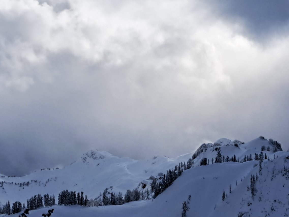
Conditions were found as expected on Thursday. Danger rating at mid-elevations a soft L3. If you were in more sheltered locations, it was easy to think there wasn't a problem as there was a lot of terrain over 35 degrees with excellent snow that was reasonable to access. On the other hand, wind loading was quite obvious on many east aspects just below ridgeline, and very different conditions were found there. Numerous reports of D1-D2 human triggered winds slabs around the Baker BC by the end of the day.
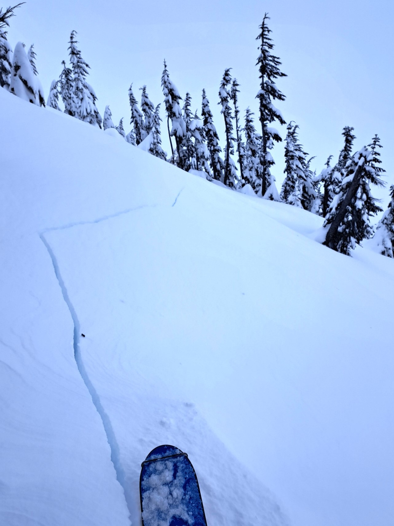
Long shooting cracks up to 30' in relatively low angle wind-loaded terrain in the morning. Very touchy conditions during active loading.Weather
- Cloud Cover
- broken
- Wind Loading
- moderate
- Recent Snowfall
- 8
- Snow Avail For Transport
- large amounts
Strong ridgeline winds as expected. While most of Herman saw light to moderate transport, intense wind transport was seen off the top of Table onto east aspects and also on more distant ridgelines. It was mostly overcast with a few sun breaks and pockets of blue.
Snowpack
Dug in a slightly wind-sheltered location, north aspect @ 4700'. 2-4cm 4F denser layer from wind transport on the surface, graupel also present.
55cm of F>1F over a thin, weak melt-freeze crust, probably formed with precip + warming overnight on 1/8. Below that crust, another 45cm of 1F>P down to the thick, frozen 12/30 crust. 5cm layer of moist, very rounded facets above the 12/30 crust,
CT, ECT and DT produced no results other then RP fractures in recent storm layers with the ECT and CT's.
Avalanche
- Size
- D1.5 R2
- Type
- SS
- Aspect
- E
- Trigger
- AS
- Elevation
- 5200 ft
This team traveled uphill and downhill through multiple steep, wind-loaded start zones from 9:30 to the time of occurrence. Shallow but wide propagation. Debris wasn't significant at the terminus, but with the width of the initial fracture, it would have been easy to take the ride.