
Avalanche

Dollarhide Summit

PetersonSoldier & Wood River Valley Mtns
View on map
Observation photo 1Observation photo 2

Quick report

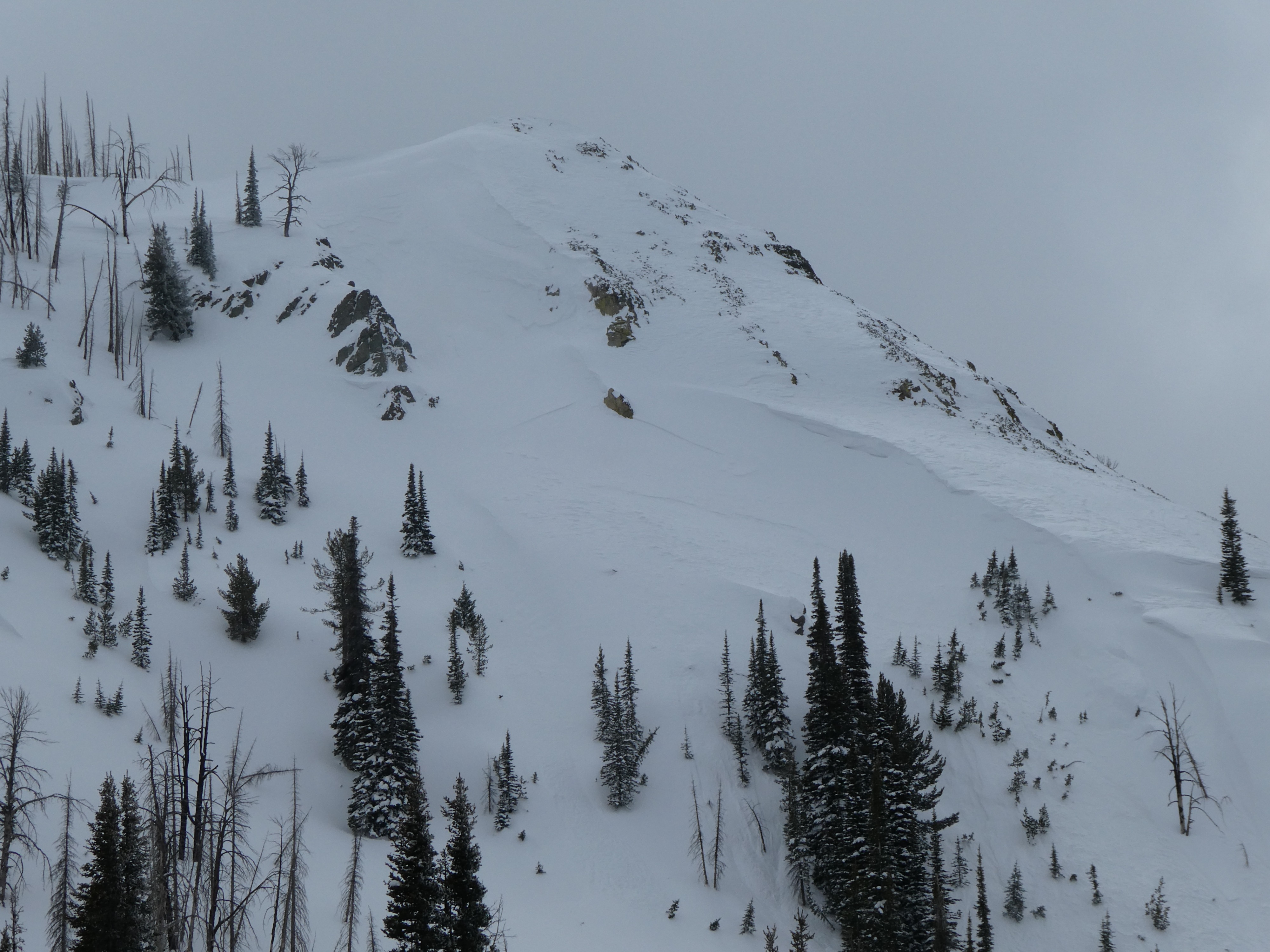
Winds had been at work building thick drifts even at the middle elevations. These fresh drifts showed no signs of instability where we traveled today, although we did note a thin recent wind slab avalanche in steep wind-loaded terrain near Dollarhide Summit. Weak layers buried deeper in the snowpack yielded unstable snowpack test results, failing on small facets 1-2.5' below the snow surface. It seems like a key ingredient for triggering one of these slides is the presence of wind, either stiffening the snow surface or deeper in the snowpack where last weekend's winds had built thicker, stiffer slabs of snow. 

Weather

Cloud Cover
scattered
Wind Loading
moderate
Recent Snowfall
5-7
Snow Avail For Transport
small smounts

Skies were mostly overcast this afternoon but became partly cloudy later in the day. Winds were light from the W.

Snowpack

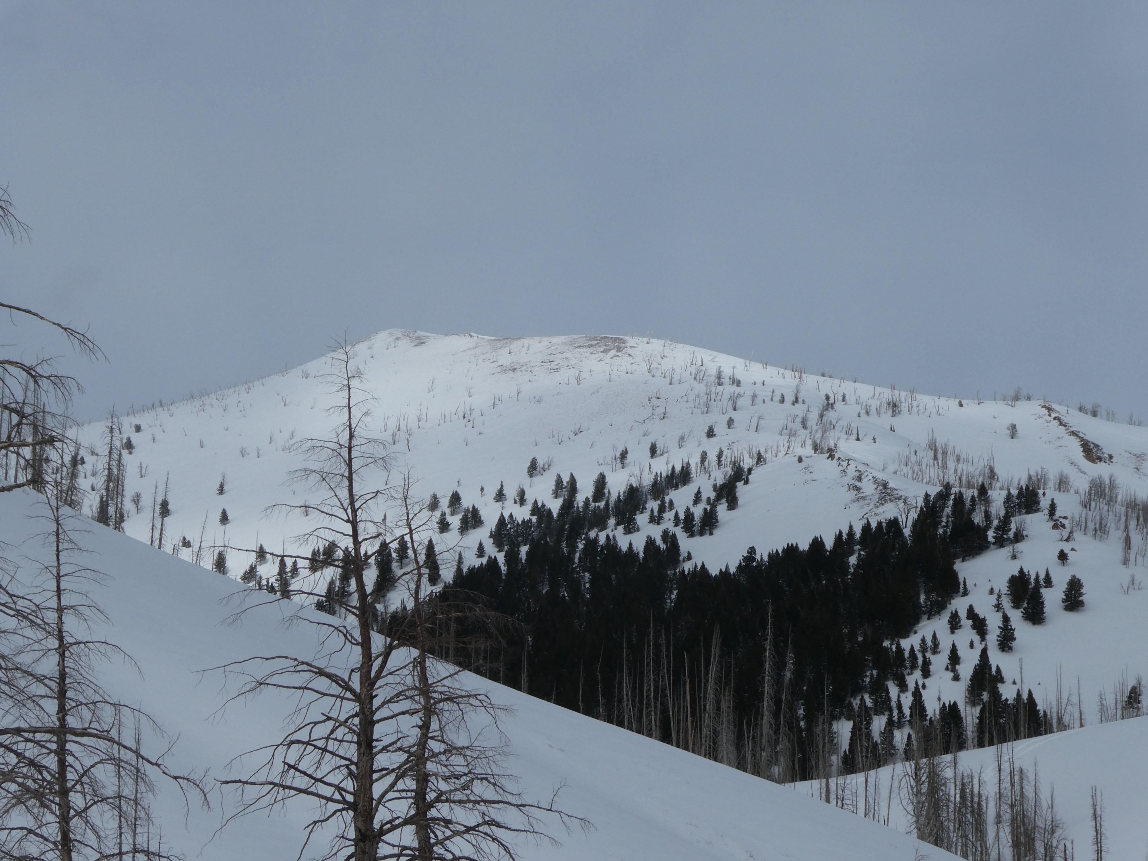
Recent winds have built thick drifts even at mid-elevations, though these drifts showed no signs of instability in the areas we traveled today.

At 8700' on the E and W slopes, we found mid-pack weak layers buried 45-70 cm deep. These layers were reactive in stability tests (ECTP16 & ECTN14 at 45 cm on the W slope, ECTP21 at 70 cm on the E slope). Overall, the snowpack on the E-facing slopes was worse, with 1-2mm facets above a firm crust. On the W-facing slopes, the crusts were rougher and more irregular, with a lesser defined layer of facets.

Avalanche

We observed one small wind slab that likely happened yesterday afternoon before last night's storm (9000', NE aspect. Looking up Placer Ck we could make out some old crows in the E and NE-facing slopes near 10,000', these likely happened during last weekend's storm cycle.