
Quick report
- Cracking
- isolated
Weather
- Cloud Cover
- obscured
- Wind Loading
- light
- Recent Snowfall
- 25
- Snow Avail For Transport
- large amounts
Heavy snowfall, peaking late morning (up to S5). At 9a there was 5-7cm of new snow. By 12p, there was over 25cm. Winds were light with moderate gusts, initially from the east, then shifting west around 11a. There was a significant divide between warm air over-running from the west of the pass and cold air being held in place by east flow. We saw warmer temps on the ridges than in the valleys, and the east-west boundary could be seen in the over 15-degree difference between the temperatures at the Tye Mill and Skyline weather stations.
Snowpack
The storm snow was generally very light and low-density. A slightly warmer, higher density layer accumulated with at 10:30 at 5,000-5,500ft.
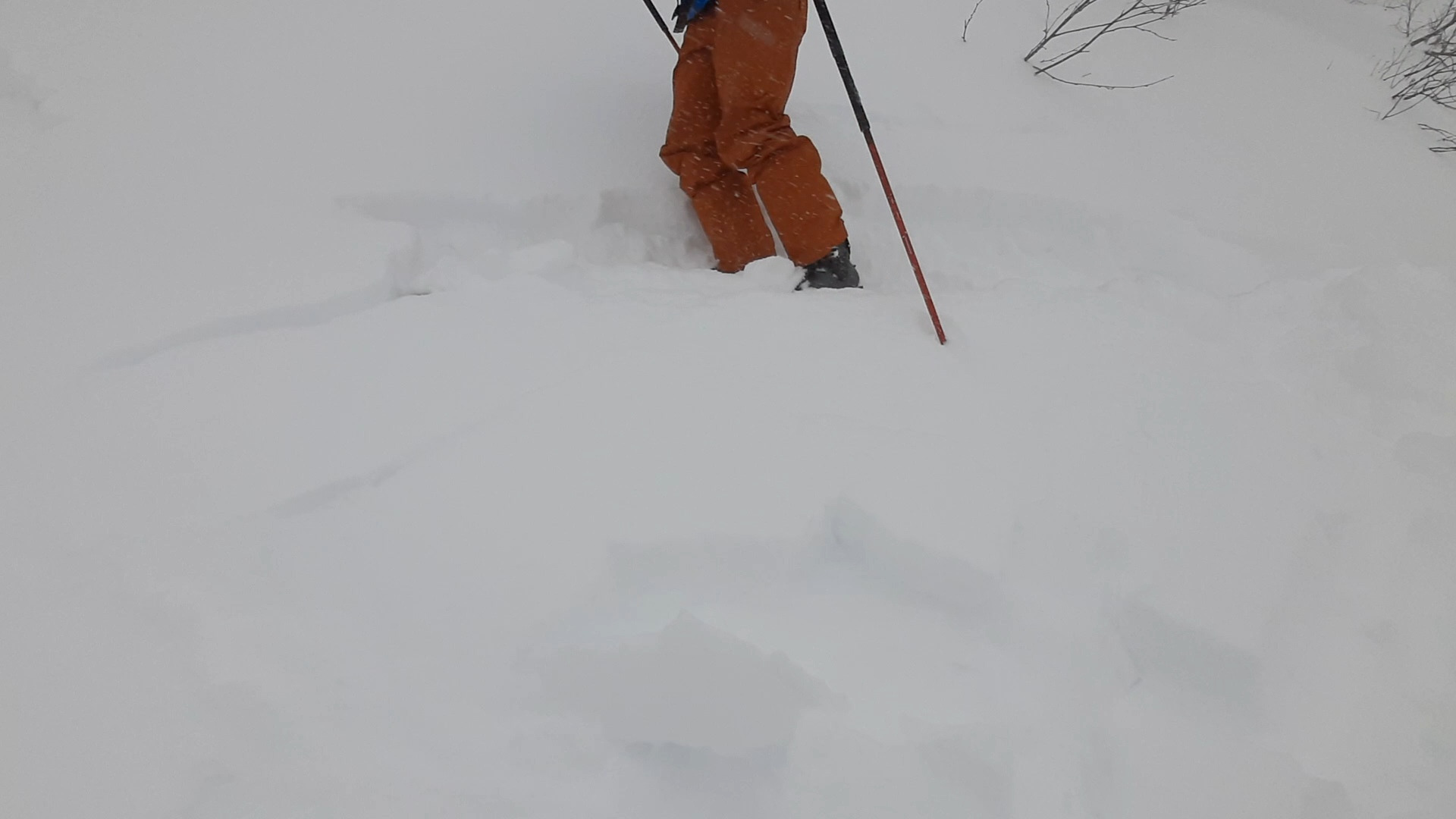
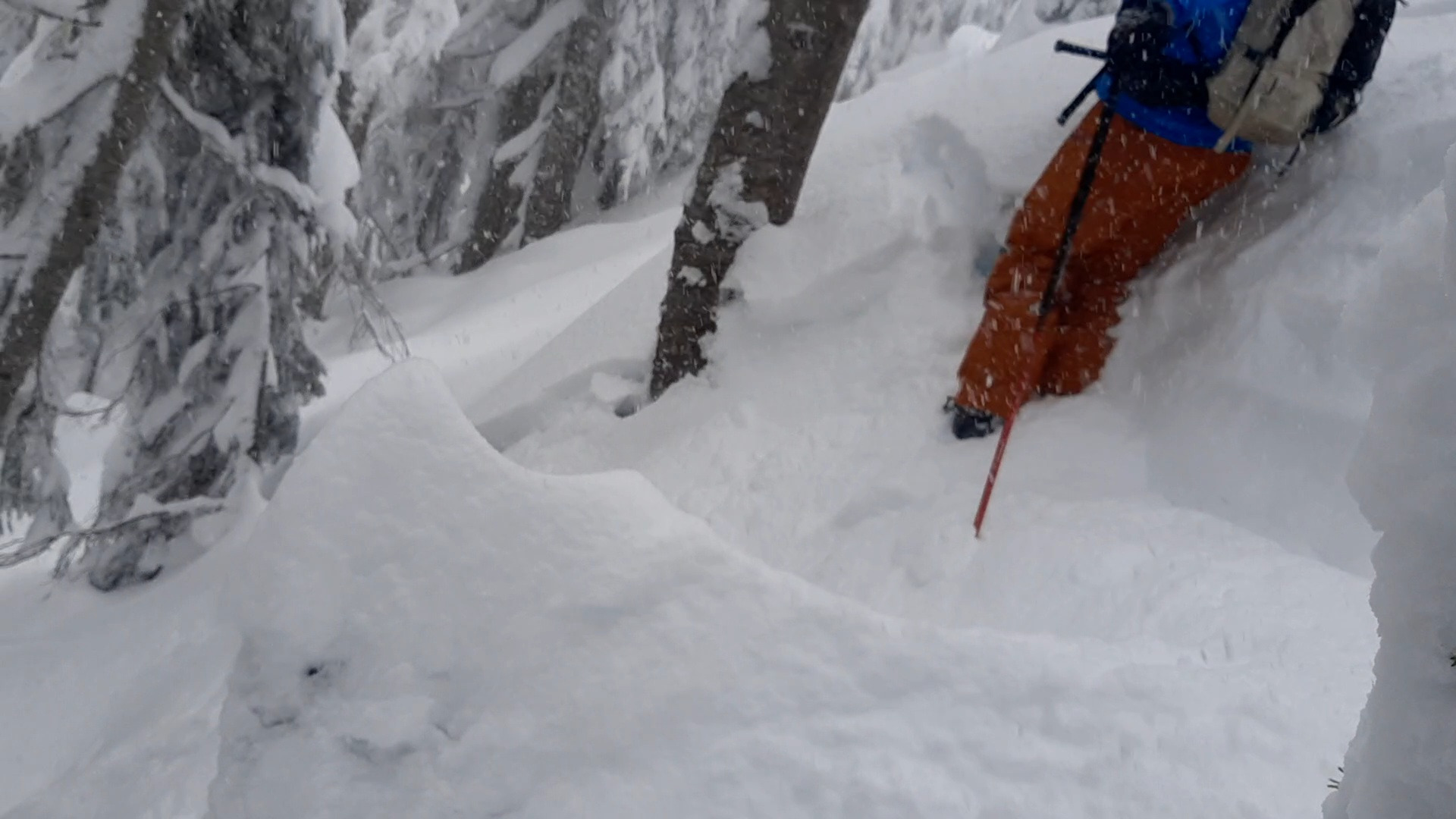
In the early morning, the new snow accumulation was shallow enough that it was decently bonded to the old (1/16) surface. As storm totals quickly increased, so did the signs of instability. Around 3,700 in Mill Ck, hand shears produce easy and planar results ↓25cm on the 1/16 interface. Other informal tests like kick turns on small features along with intentionally triggered avalanches, were easy to trigger on slopes ~40*. They often didn't break as obviously at the 1/16 interface, and would rather occur somewhere within the new snow. Avalanches tended to entrain most of the available new snow. The snow below the 1/16 interface is still relatively soft on most slopes that we observed. The one exception is where we found a thin sun crust on open, steep S-SE slopes as high as 5,600ft. The storm snow was decently bonded to the crust.
Avalanche
We triggered multiple small loose and storm slab avalanches involving most of the new snow, once ~ 20cm had accumulated by late morning. These were all on slopes well over 35 degrees.