
Quick report
I found no concerning layering in the upper snowpack. Wind slabs were isolated where I traveled, but I imagine they were a problem in specific areas. There's plenty of soft, dry snow to turn into wet loose avalanches with any prolonged sun. Weak layers deeper in the snowpack were worrisome looking but provided no obvious signs of instability or unstable test scores.
Some ski length cracking in fresh wind slab.Weather
- Cloud Cover
- broken
- Wind Loading
- light
- Recent Snowfall
- 10-20 since 2/15
- Snow Avail For Transport
- moderate amounts
Snow flurries for most of the day, accumulating to less than an inch. Some brief breaks in clouds. Moderate SW and W wind, which eased and shifted NW.
Snowpack
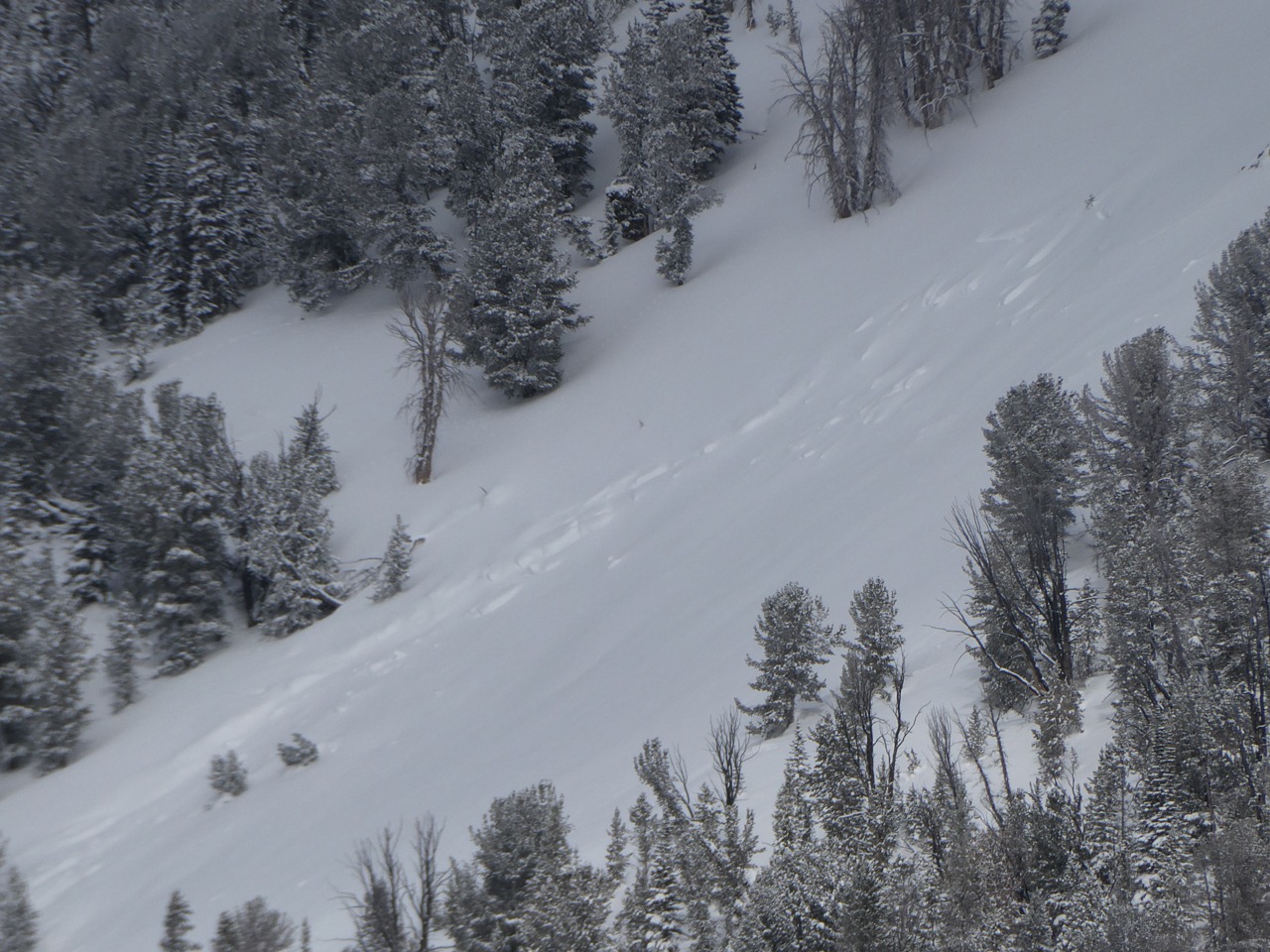
I did not observe any significant or concerning interfaces within the recent storm snow. There was between 20-35 cm of snow here since 2/6, with up to 2 crusts interspersed. The most recent and obvious wind-loading was from the SW and W. This built some fresh cornice and isolated, soft wind slab up to 2' thick. Where I found them, cracking in fresh slabs was limited to ski length. There is plenty of dry snow here to turn on wet avalanche issues with more prolonged sun, light wind and warming temperature.
The 1/31 weak layer was widespread and 65-125 cm deep, producing no obvious signs of instability or unstable test results. Triggering a persistent slab here felt unlikely, but the consequence of being wrong remains severe.
Avalanche
- Size
- D2
- Aspect
- W
- Trigger
- N
- Elevation
- 9500 ft
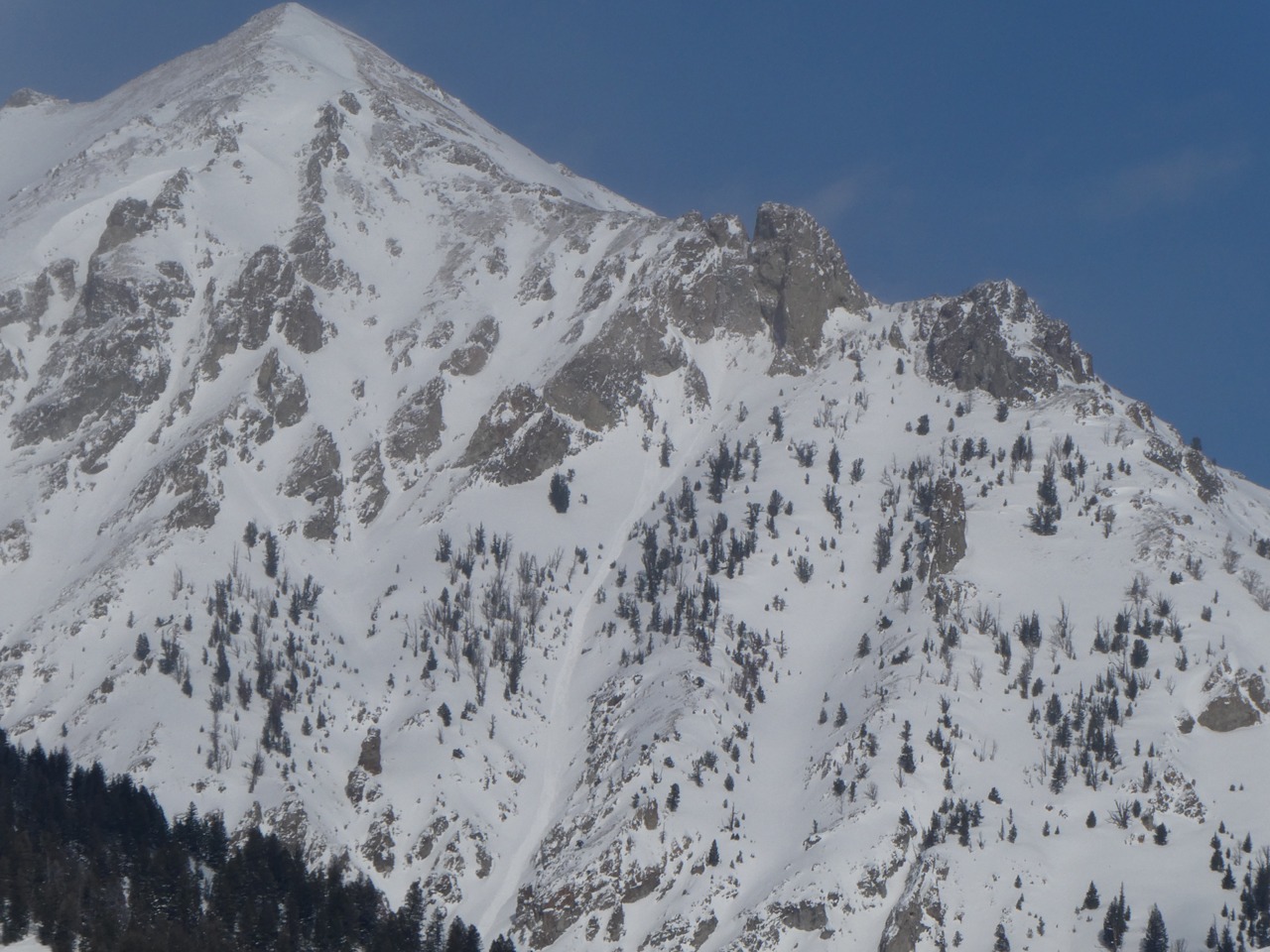
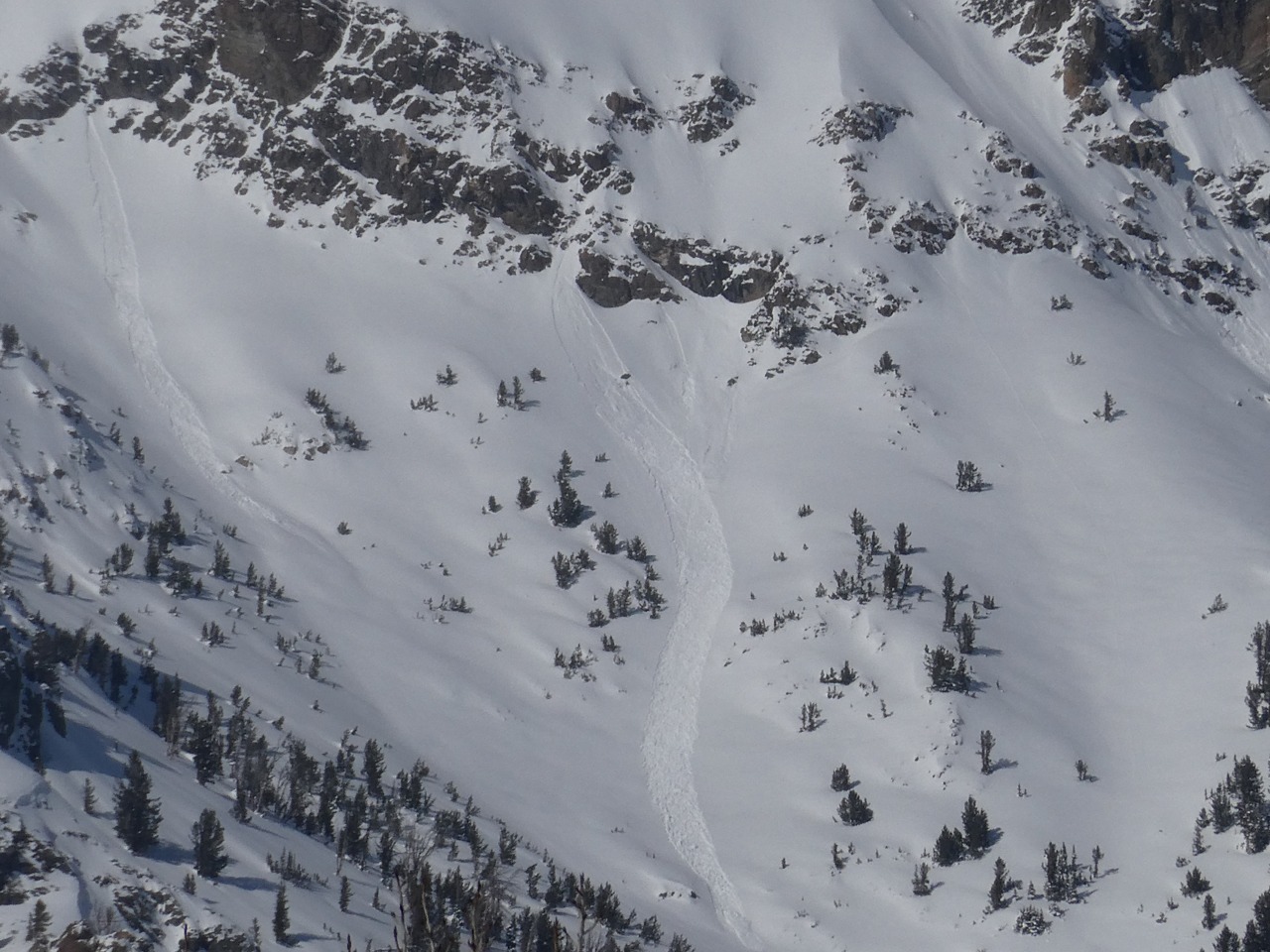
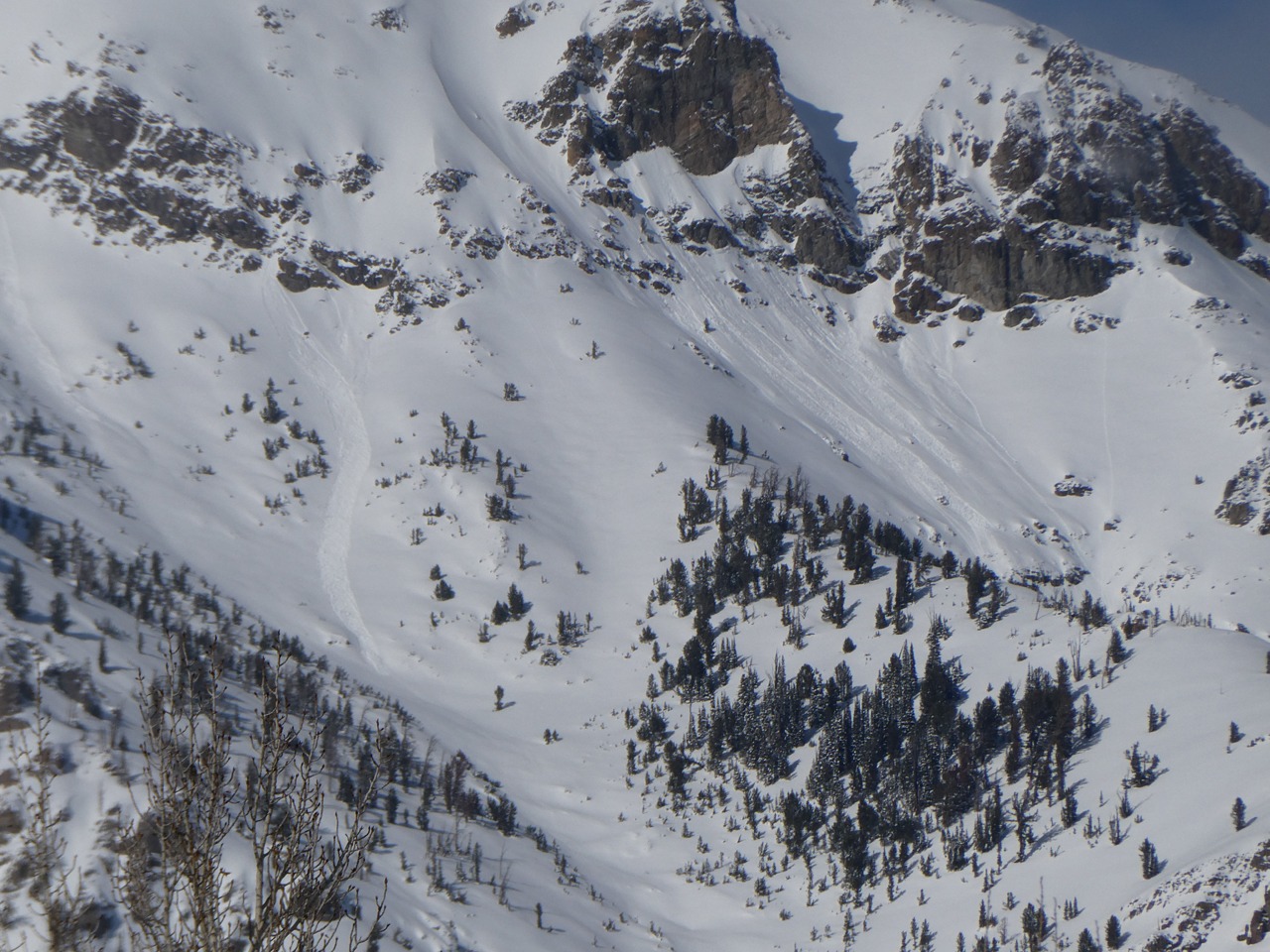
I observed some fresh sun-induced loose snow avalanches in the Boulders and some that were a few days older in the White Clouds. I had hazy and limited visibility for much of the day. I observed few older persistent slabs in 4th of July that looked like they released sometime in early February.