
Quick report
- Cracking
- Observed
- Collapsing
- Observed
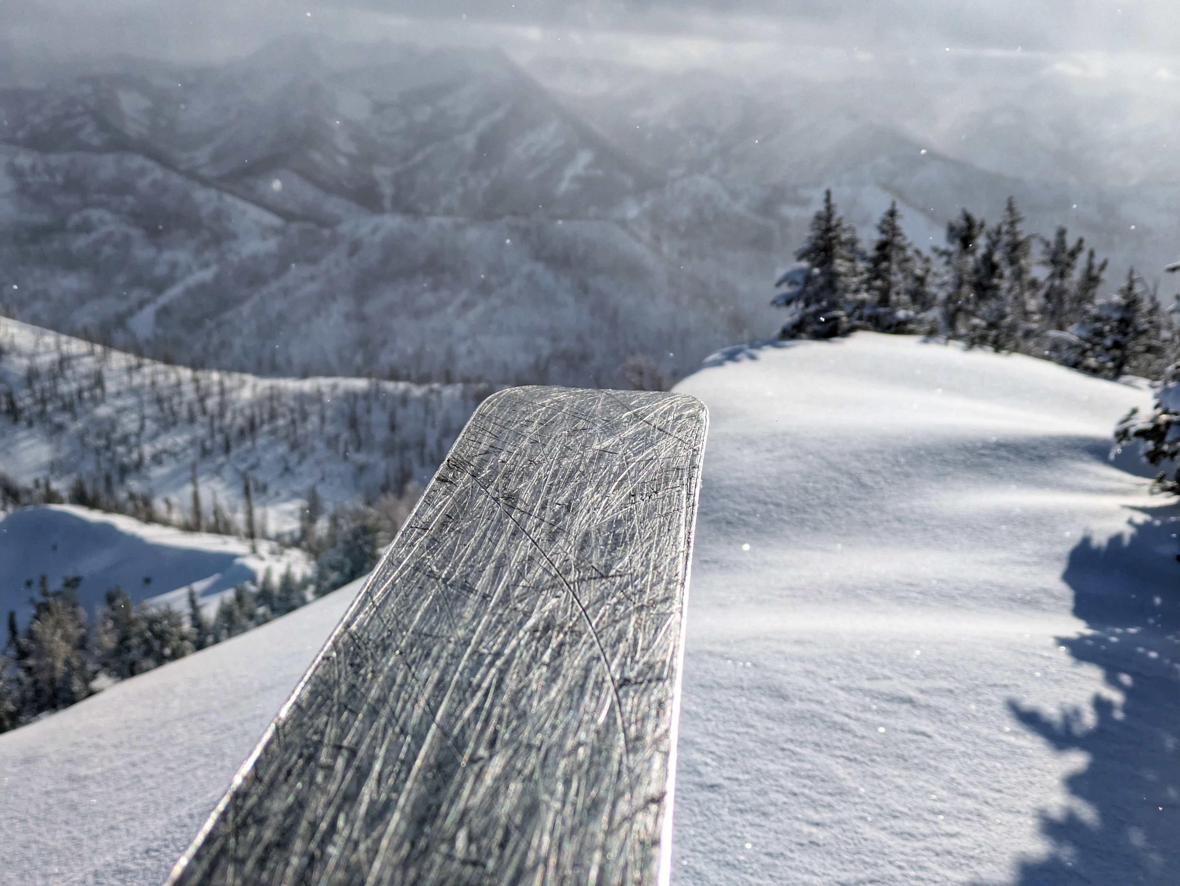
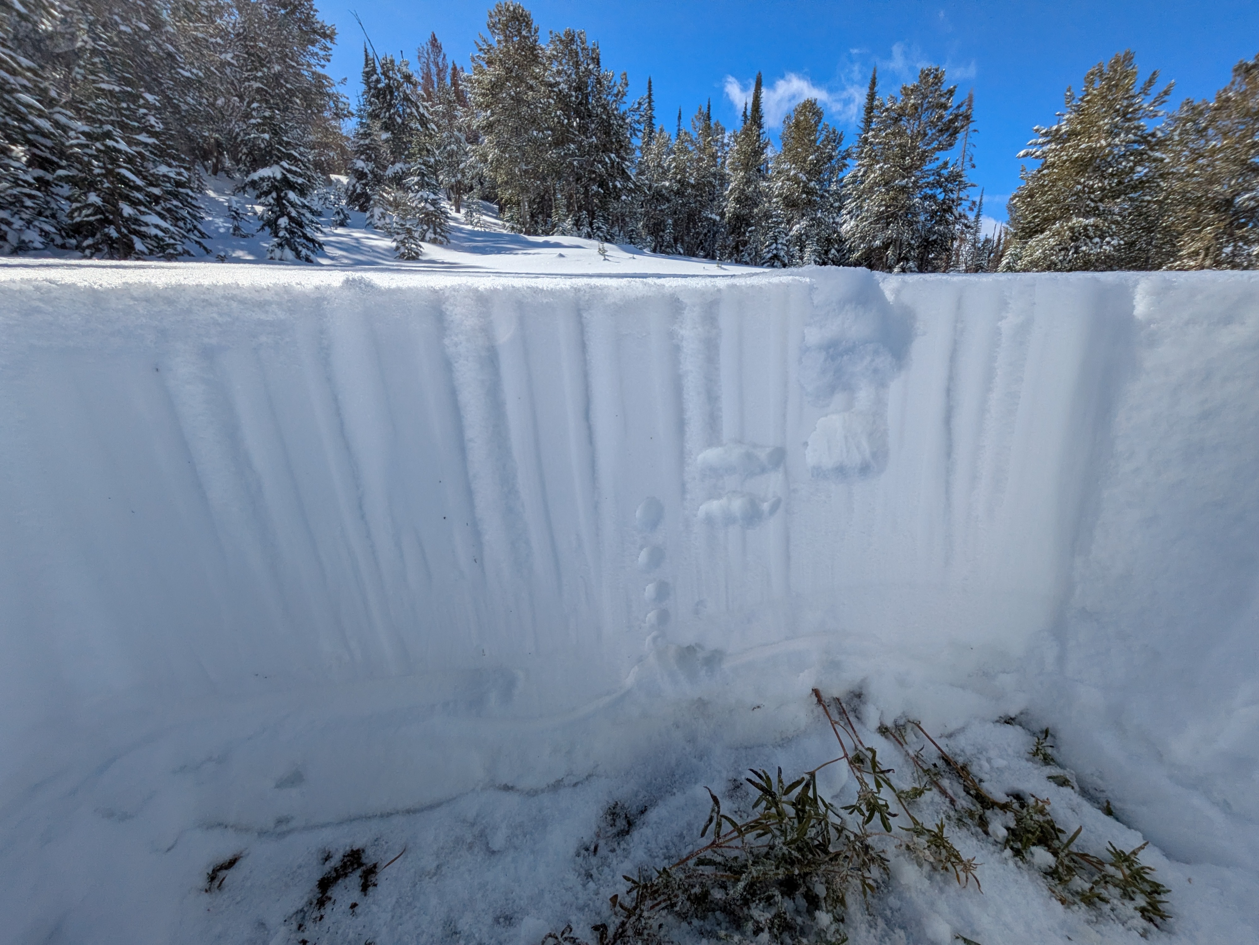
The October 25-27 storm was a real game-changer in the backcountry, bringing a widespread flavor of early winter to the mountains. Instability likely peaked late in the day on Saturday, during/shortly after the most intense loading. This first portion of the storm was warm, wet, and windy with snow/rain lines fluctuating in the 7,000-7,500' range, bringing 30-35cm of dense snow to this area. Temperatures cooled overnight and an additional 15cm of dry, light snow fell with light winds. Settled storm totals of 40-45cm were observed on my tour today. The new snow fell on top of the prominent layer in the snowpack ("10/25"), which did not look terribly concerning in my two snowpits today. In my pits, the older snow was quite moist at the ground, and glued on to the rocks/dirt below. This snow dried a bit as you moved up in it, but I was able to detect a bit of moisture throughout. There was a 1-2cm thick icy crust near the top of this interval, with some drier snow on top (mixed forms). This snow on top of the crust was my main concern going into the day, but it did not look bad where I looked at it, producing rough shears and non propagating fractures in snowpack tests. I dug on N and NW aspects at 8,900 and 9,200', finding total snow depths in the 55-70cm range. I performed several ECTs which resulted in non-propagating fractures with hard force (ECTNs in the mid to upper 20s), breaking underneath my shovel at the 10/25 interface (down 40-45cm). I found roughly the same amount of snow on all of the upper elevation slopes I traveled on today that did not face the sun. The lower 15-30 cm was older snow from October storms and the upper 40-45cm was new and increasingly dense as you dug down (F to F- at the surface, 1F at the base). The lower portion of the new snow is dense, well-bonded internally, and has done a good job of blanketing the landscape. Temps stayed cool today and afternoon cloud cover helped to limit solar input. Steep slopes facing SE-S-SSW took some heat and did some melting, with thin crusts crystallizing by the time I left the mountains around sunset. There were some small facets on top of these crusts (radiation recrystallization). Anticipate a lot more melting on slopes facing the sun this week. I could see broad swaths of terrain with good light and good visibility and spent time looking around for avalanches while I was up high. I did not see any signs of large (D2) avalanches, only a few small D1 wind slabs and sluffs. I triggered a few sluffs and a single small wind slab, both of which produced small D1 piles. Overall, it was a great day out in the sun looking at fresh snow. The snowpack here "looked pretty good", but with a lot of early-season variability and uncertainty, I wasn't terribly interested in testing that theory on steep, consequential slopes. Turns were excellent on low-angle slopes with decent coverage before the weekend storm. What I found on the ground today would make for a great seasonal base!,.. but, unfortunately and predictably, there is an extended drought on the menu, which gives us a lot of time for that to change before snowfall returns. I experienced minor cracking and collapsing in the most recently deposited round of small, isolated wind slabs (likely built within past 12 hours). This activity did not appear to extend down to the 10/25 interface.
Weather
Low clouds shuffling through in the morning, quickly giving way to mostly clear skies and plenty of sunshine. Mid level and high clouds began to push into the area in the afternoon, bringing increasingly long periods without direct sun on the snow surface. Very light precip began in mid afternoon (small rimed stellars drifting out of the sunlit sky), with precip rate increasing slightly towards sunset and precip particle type switching to larger stellars. There was no significant snow accumulation during the day. W/NW winds were light and gusty in the morning, ticking up just a bit in the afternoon, moving small amounts of new snow and creating dune-like textures on the snow surface.
Avalanche
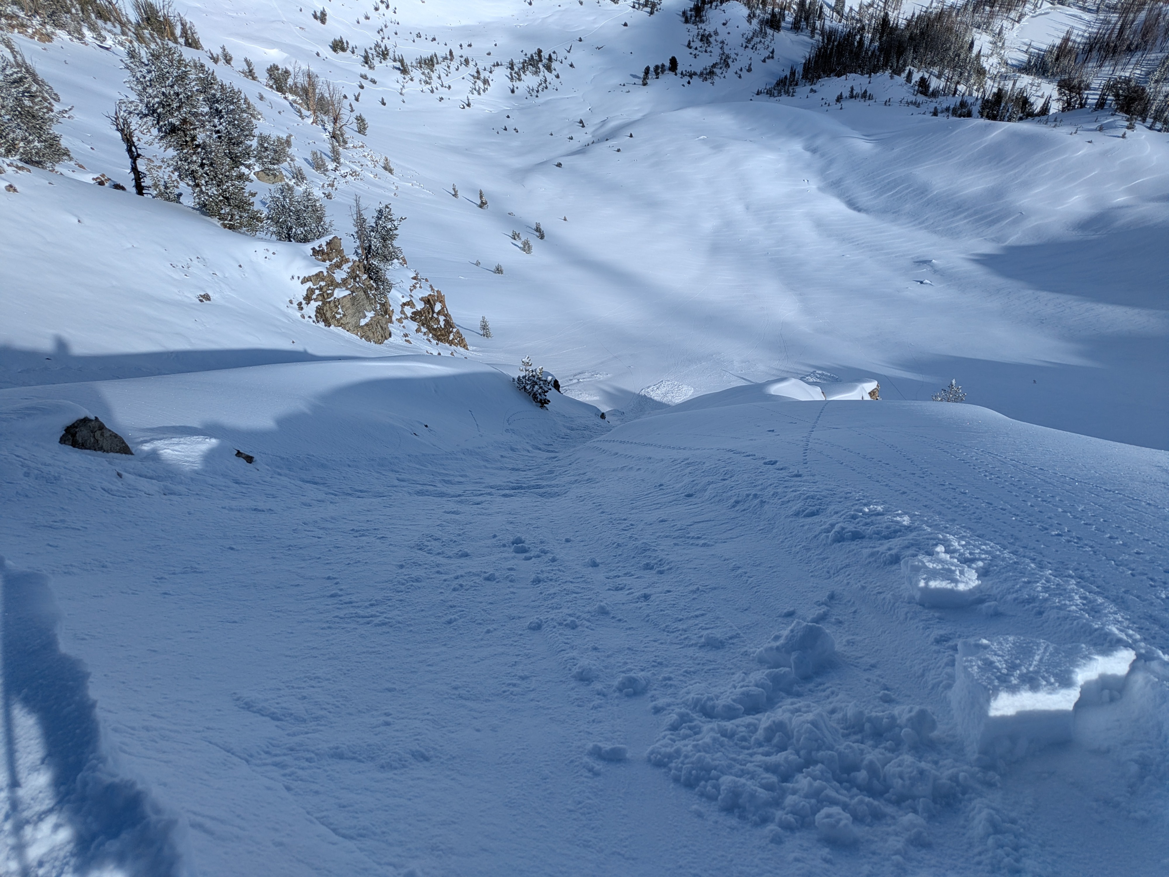
I triggered several small (D1) dry loose sluffs in steep terrain by pushing on and knocking cornices down slopes. I also triggered one small wind slab (D1) by stomping on the top of an obvious wind lip. This slab broke 10-12 feet wide and up to 1 foot deep, pretty small but maybe large enough to knock you off your feet if you were playing in steep terrain (I wasn't). I had views of large amounts of terrain, and I spent a good bit of time looking around and did not see any avalanches larger than isolated D1 wind slabs that appeared to break within the new snow.