
Quick report
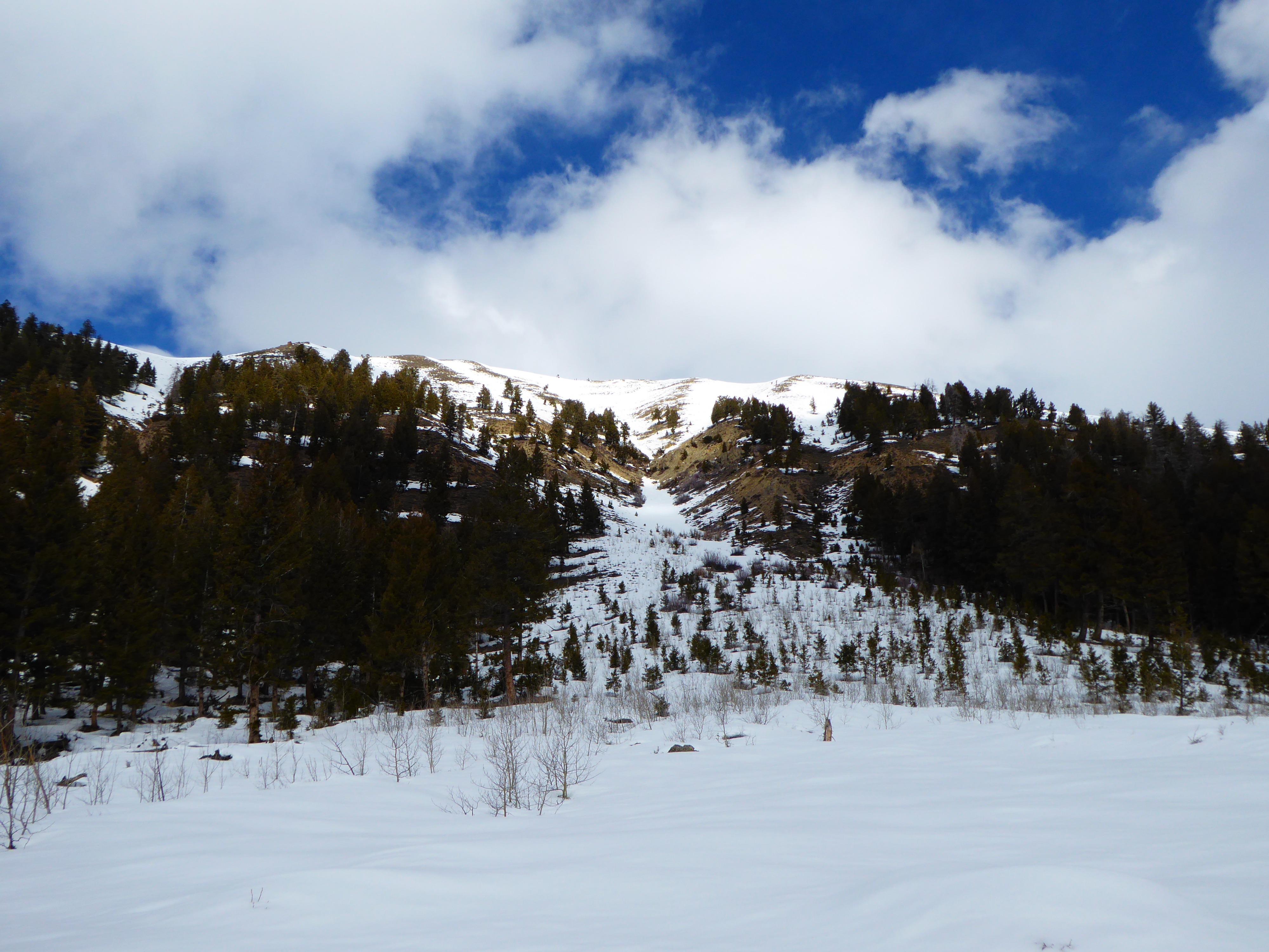
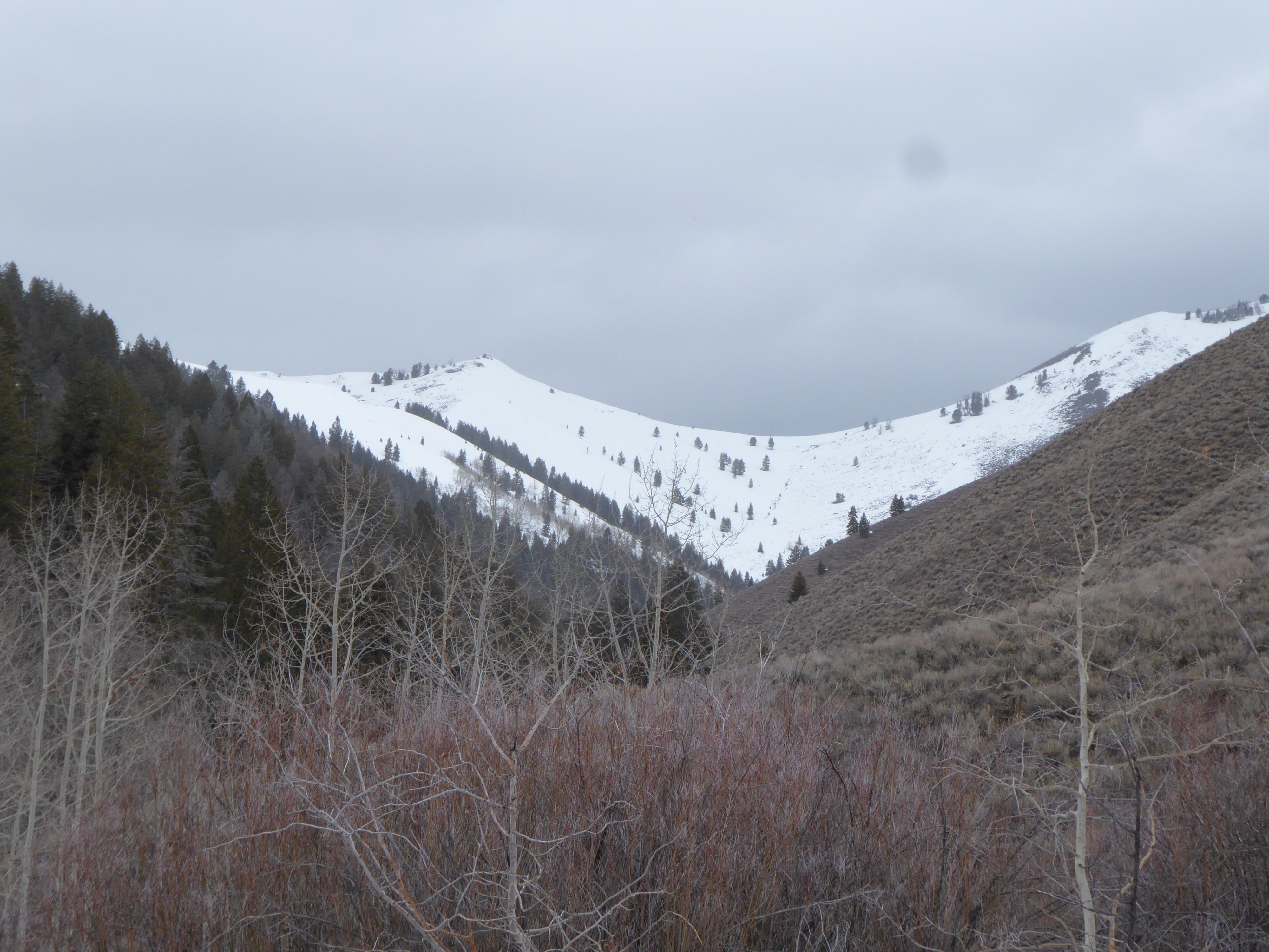
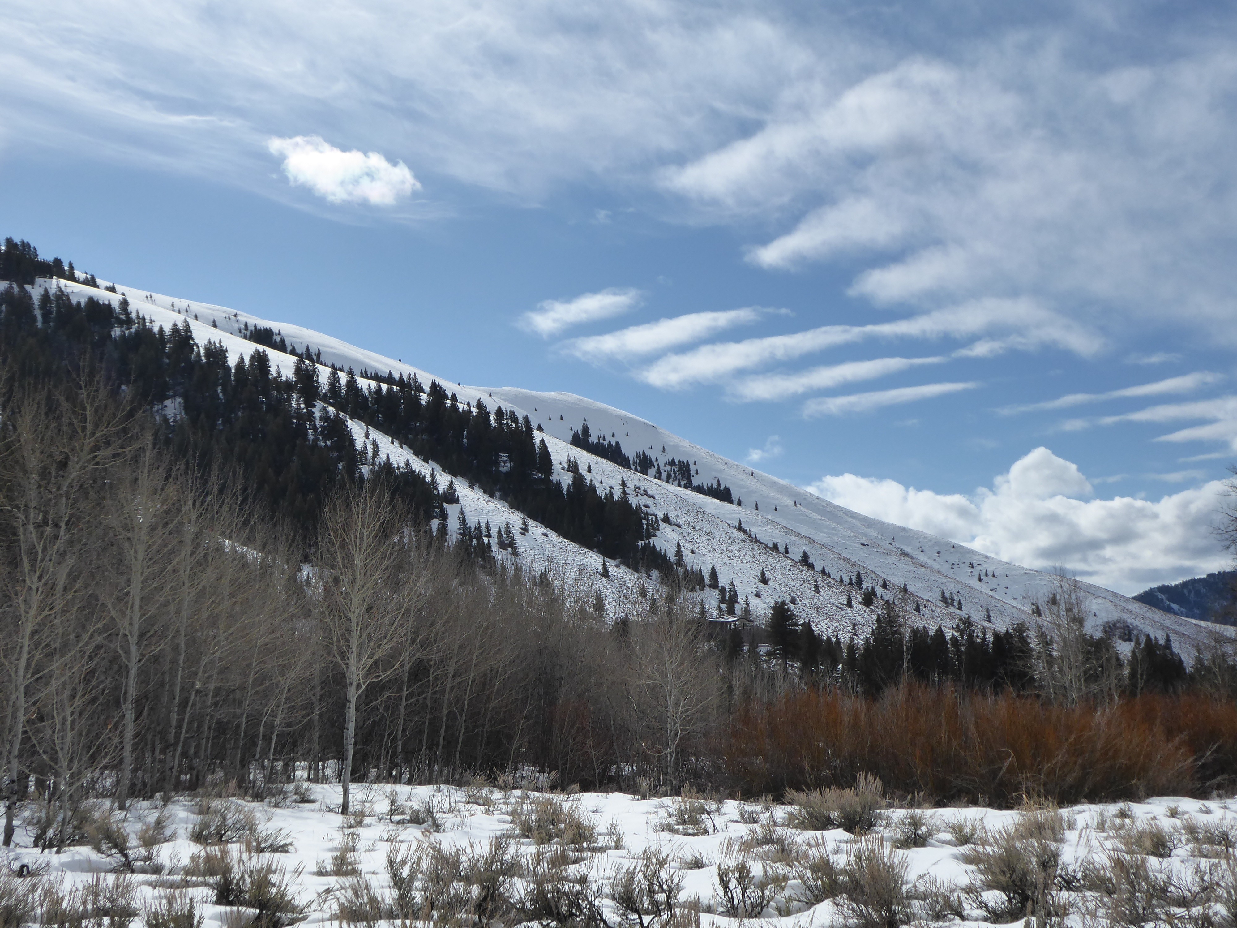
Generally stable conditions today. Most snow surfaces in the middle elevation terrain we traveled in today were weak and faceted.
No obvious signs of instability today.Weather
- Cloud Cover
- overcast
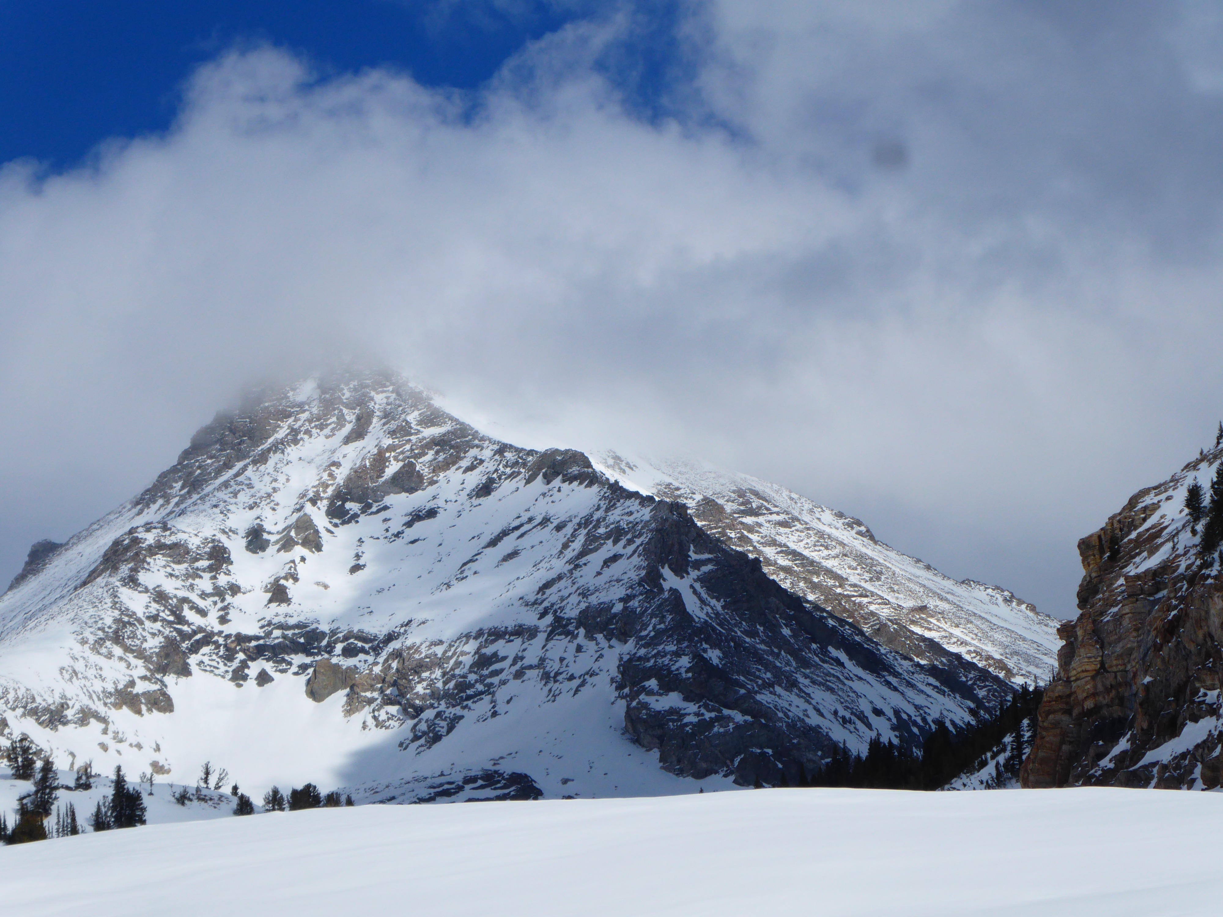
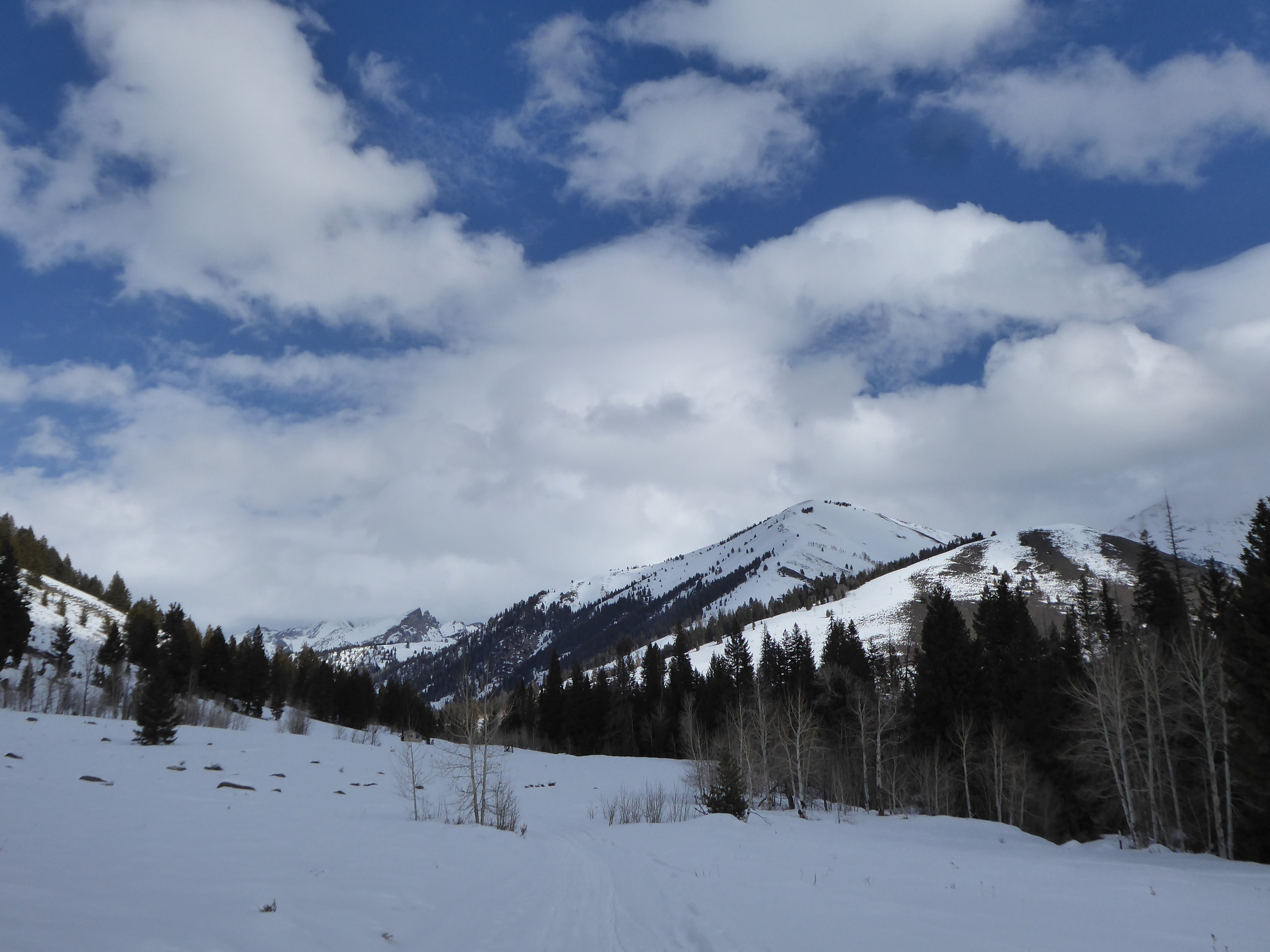
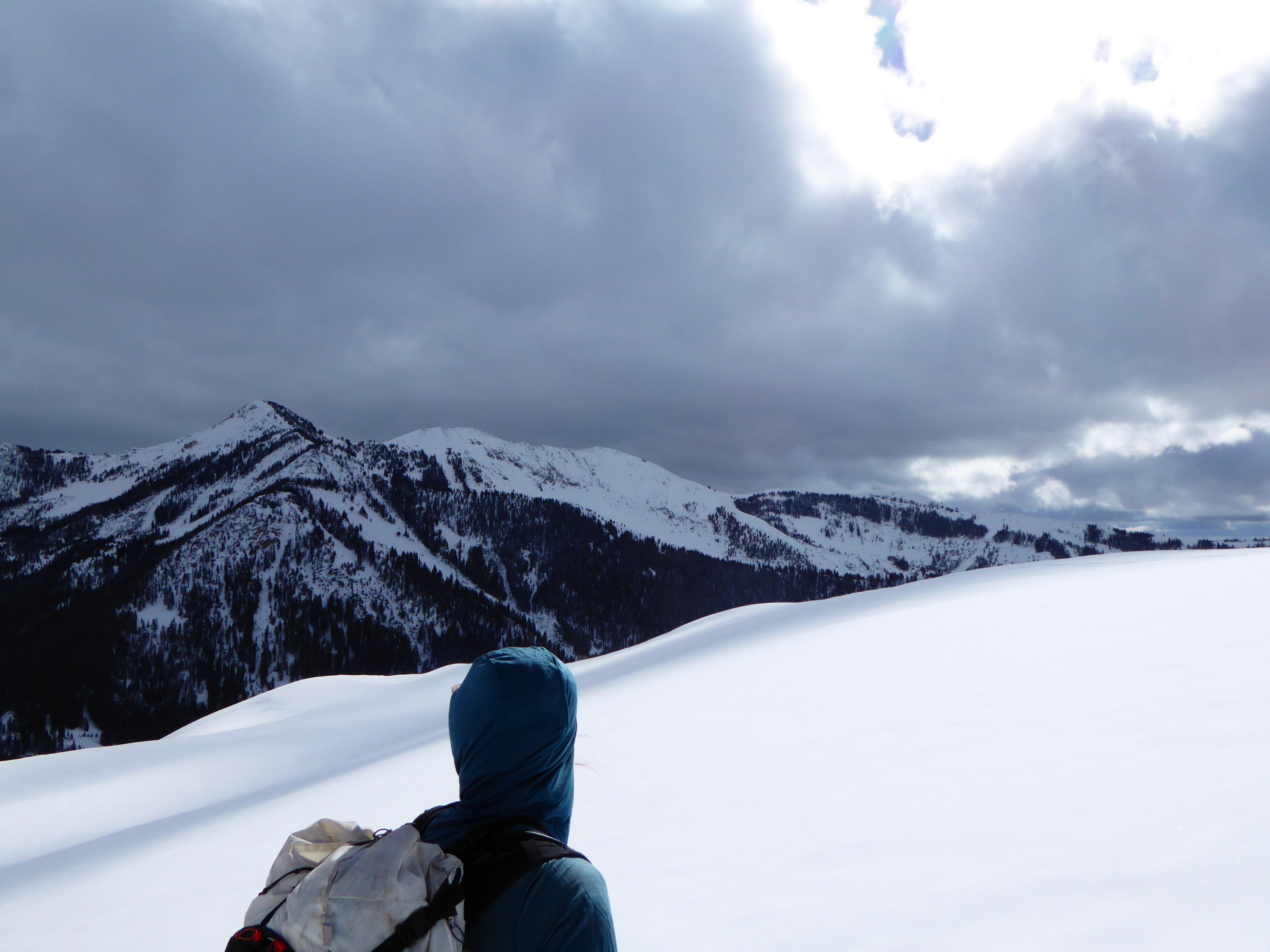
Clouds increased from partly to overcast while we were in the field. South wind was strong. Snow began as S-1 at 1330. Wind was bouncing facets across surfaces. Didn't observe any fresh wind slabs forming.
Snowpack
Goals today were to look at snow surfaces and the 2/8 interface prior to the incoming storm.
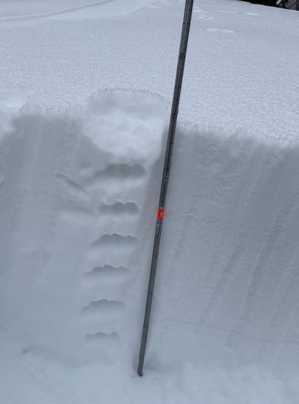
E-SE & W: Thin facets capping melt/freeze crusts (RadRx). 2/8 in these locations were a stiff MFcr with a thin layer of facets above/below. Facets/thin crust/facets/(2/8) crust.
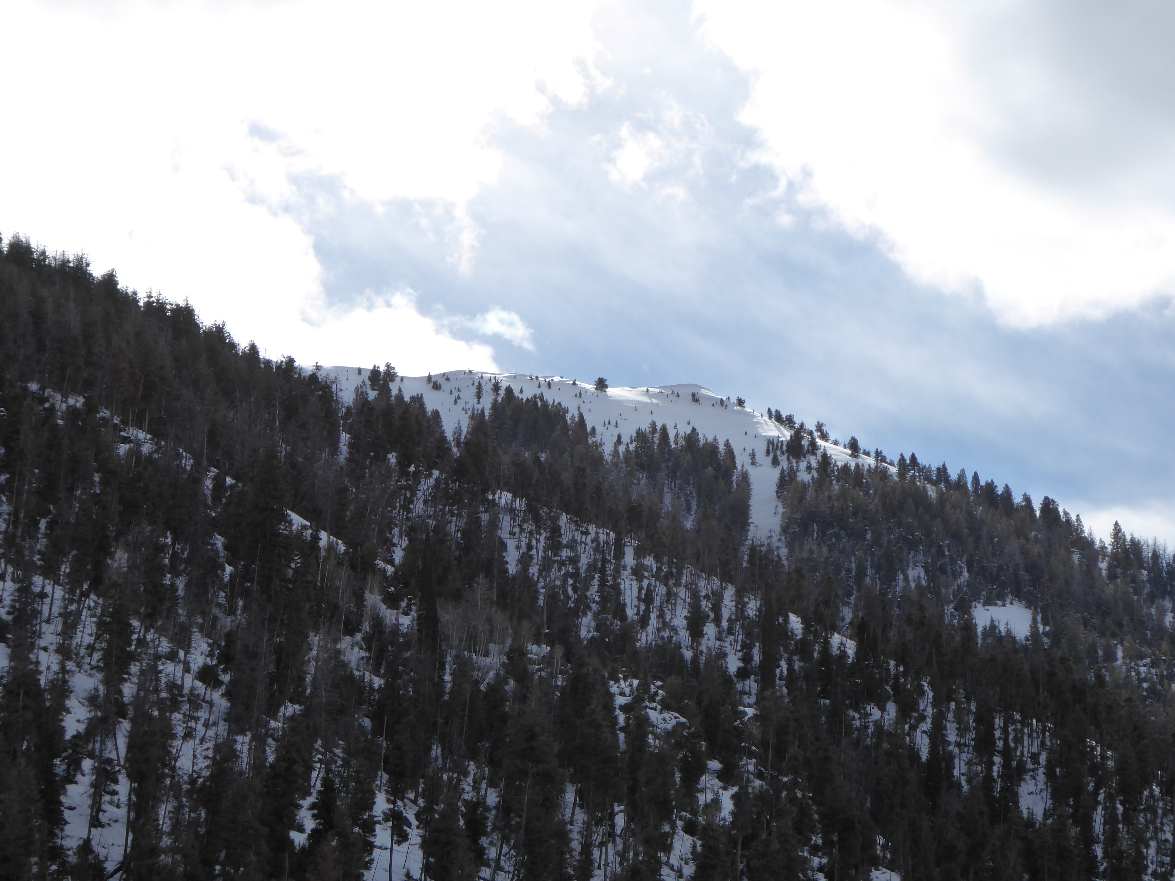
NW-N-NE: Surfaces are comprised of SH and near-surface facets. 2/8 was down about 15cm and was old 4F windboard. Snow above 4F was F hard facets.
S: Due south at middles were supportable to skis, with a thin (0 .5cm) layer of facets overlying the crust.
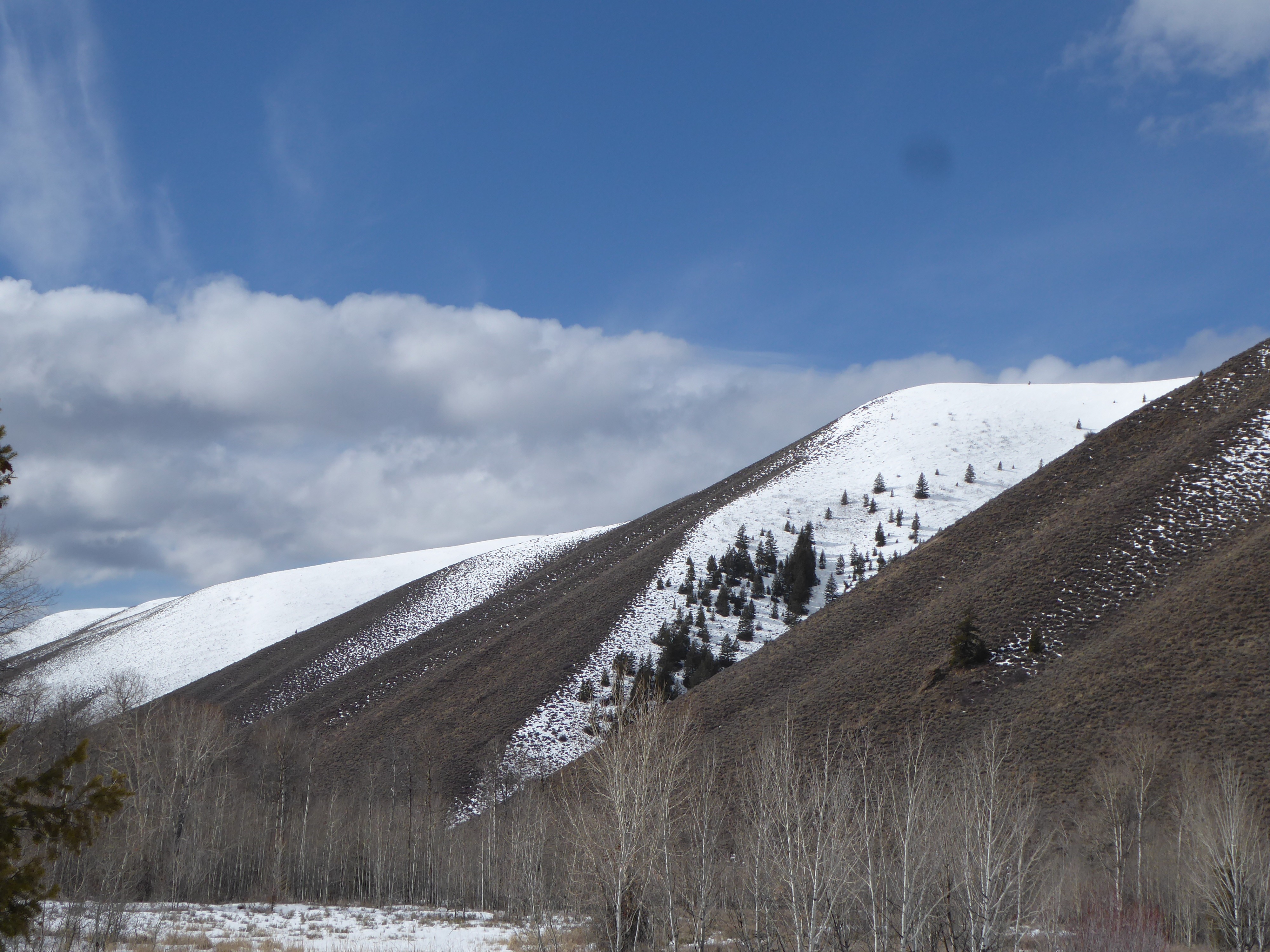
Conclusion: Every surface in the middle elevations we encountered today had weak snow at the surface. Lower elevations on the sled ride in were cooked by the sun or were dirt/sage. Upper elevations are a question mark, looking south from the Peanut towards Paymaster Pk and alpine features further south like "Little AK", snow surfaces in the shade looked smooth and non-wind affected, and probably hold faceted surface snow.