
Quick report
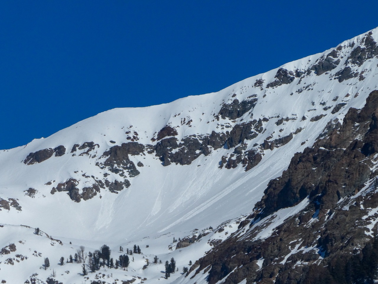
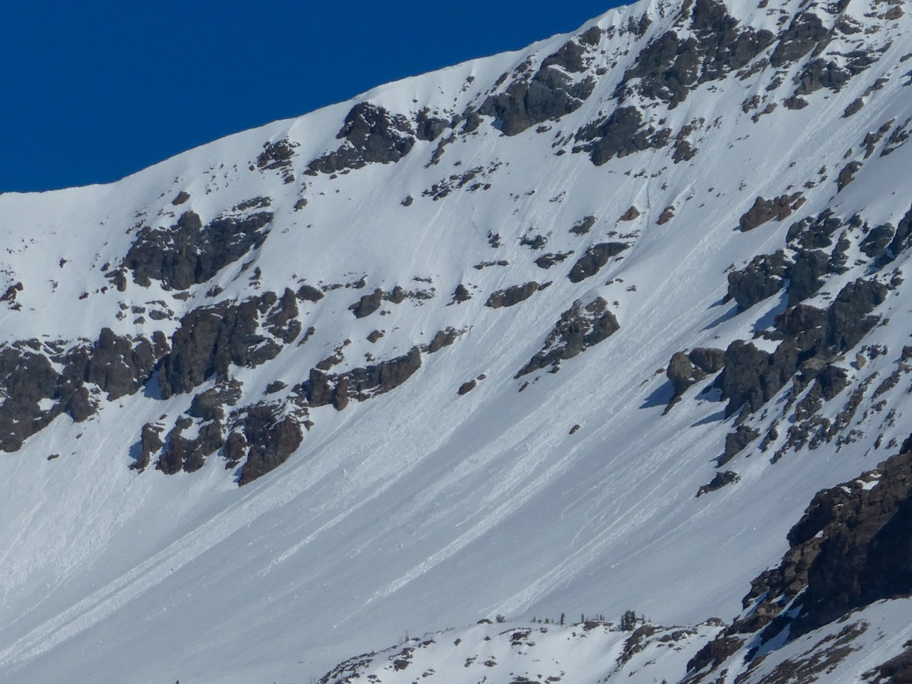
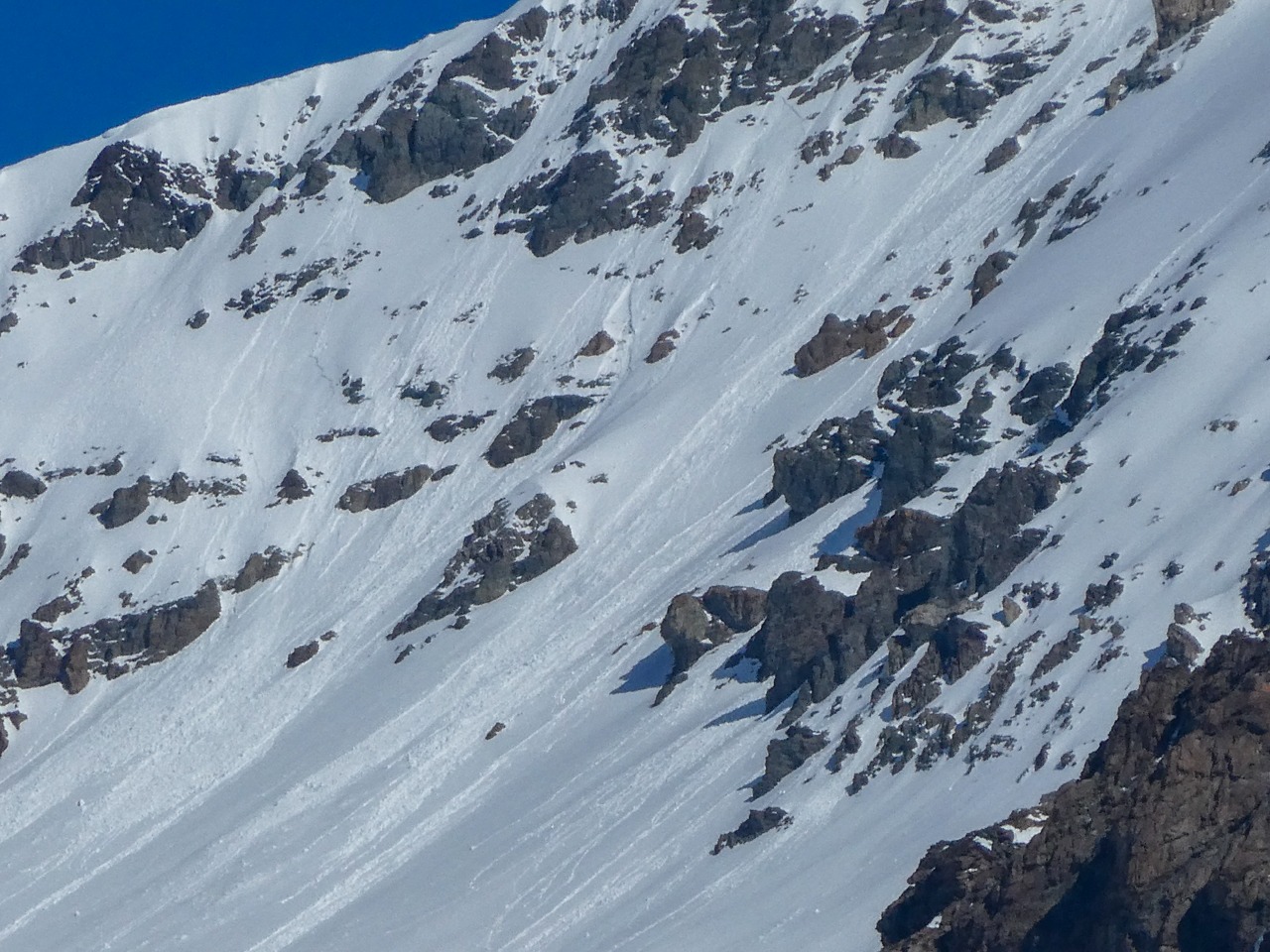
Numerous wet loose avalanches and thin slabs were observed between Easley and Boulder Pk.
No cracking or collapsing.Weather
- Cloud Cover
- few
- Wind Loading
- none
- Recent Snowfall
- 12-20 cm over (3/23) where not baked on.
- Snow Avail For Transport
- none
It was mostly clear. It was mild in the shade with a light S breeze, but it felt quite warm in the sun. At most middle and upper elevation weather stations, it looks like the hottest day of the year so far.
Snowpack
Today I focused on middle elevation, shaded slopes to get a feel for what may happen as a warm, wet storm approaches Wednesday afternoon into Thursday. Rain lines fluctuate between 8,000 and 9,000' for 24 hours as precip ramps up Wednesday night. If the storm materializes as forecast, nearly an inch of precipitation will fall as rain or wet snow at this elevation band.
So far this year, ambient air temperature has had minimal effect on meltwater production on mostly shaded slopes. A shaded snowpack at 7,000' was entirely dry and faceted, although some meltwater had percolated through it to reach the ground during the mid-March warm-up. By about 8,000', these percolation columns extended only a few cm below the mid-March crust. If this storm materializes as advertised, we'll push a significant amount of water through snowpacks on shaded aspects that have remained mostly dry.
Avalanche
I observed numerous fresh, wet avalanches between Boulder and Easley Pks in multiple drainages in the Boulders. Some appear to have failed as thin slabs. Others began as loose slides but had ragged flanks. Based on the size, most slides looked to include only recent snow since (3/23), although some appeared to have gouged a little deeper.