
Quick report
While traveling in similar terrain at lower and middle elevations the day prior we observed a small number of local collapses on our second and third passes of the skin track, I observed only one local collapse that radiated 3-4' out from my skis during my travels on this tour top to bottom.
Weather
- Cloud Cover
- broken
- Wind Loading
- moderate
- Rain Elevation
- Precip fell as snow all areas traveled
- Recent Snowfall
- 2cm during day today
- Snow Avail For Transport
- large amounts
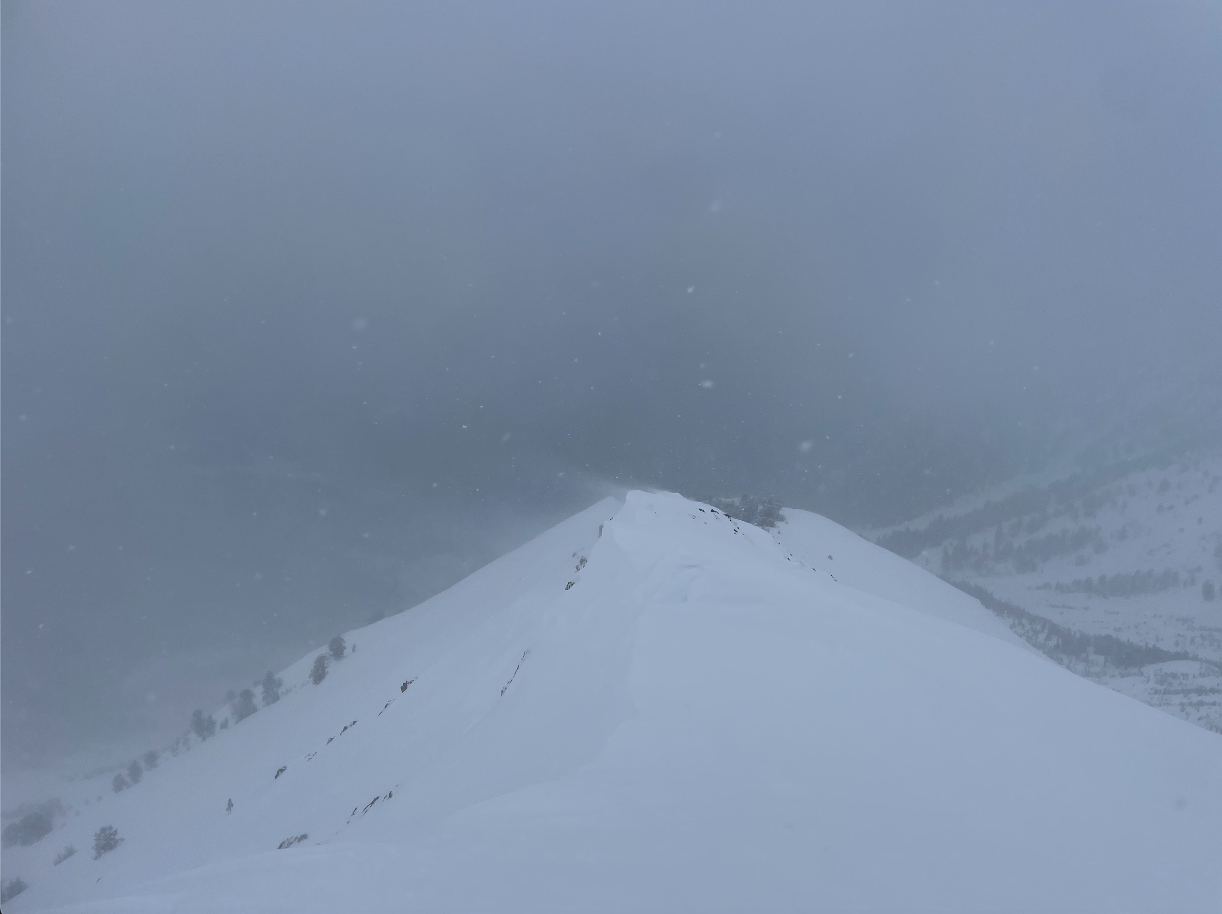
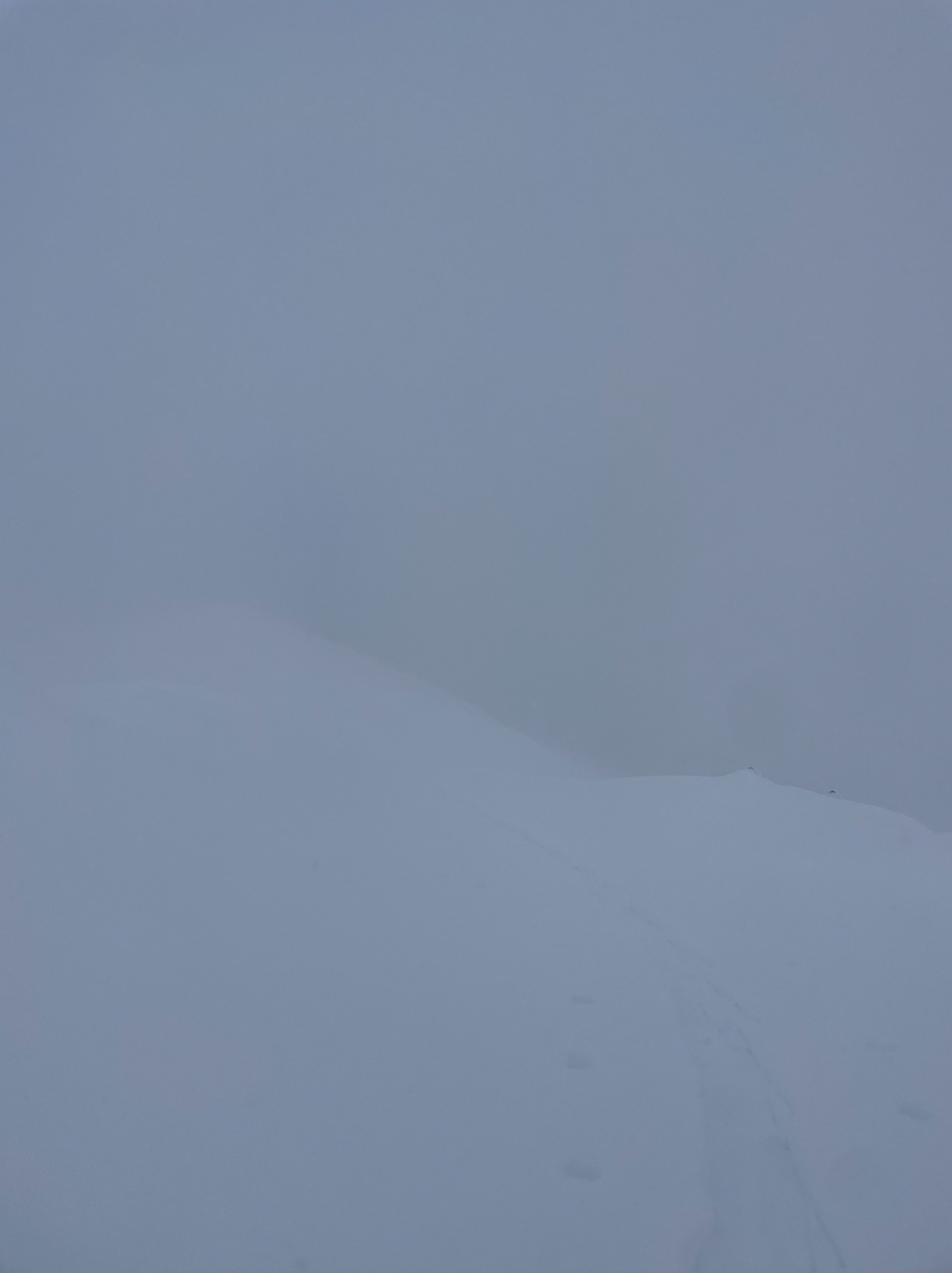
Leaving the truck around 1130, partly cloudy skies showed plenty of blue and sunshine with light winds at road level. Around 1200 at 8000', light intermittent snowfall began (S-1) in sustained light NW winds with patches of blue sky still visible. From the early afternoon at 9300' upwards to the summit, skies were socked in with varying light snowfall (S-1 to S1). Winds overnight from yesterday appeared to have been sustained, as our skintrack wasn't just filled in, but had a large dune in its place. Winds increased to the upper end of low and lower end of moderate into the afternoon and above 9500', sustaining themselves solidly at moderate speeds for 3-5 minutes at a time. With the amount of dry, new snow, transport was visible immediately on the ridge I was traveling and on adjacent ridges when I got pockets of visibility. Above 10,300' visibility was entirely obscured to the summit. Climbing back up Senate Ck around 1640 for more fresh snow, the skies began to clear to few, high clouds.
Snowpack
Leaving the truck around 1130, I found 30-35cm of fresh new snow from our most recent series of storms with soft surfaces up to about 8500'. Surfaces were a mix of soft and wind-packed above 9300'. Climbing above 9800', there was ~45-55cm of new snow from our most recent series of storms, with 2cm falling during the day yesterday. Just in 24 hours, the wind had done some serious work on the entire ridgeline above 10,000 feet, with 2-4' of mostly soft with some harder surface wind deposits building on leeward slopes. I was able to intentionally kick off a smaller (D1) denser wind slab at ridgeline here. Our skin track going up to 10,100' from the day prior was covered with 3-4' dunes of wind-drifted snow in some locations.
Digging into the snowpack briefly just off ridgeline on a SW aspect near 10,300', I found a 2cm layer of windboard overlying 55cm of dry, light new snow. This rested on top of our 2/1, which was a stout 2-3cm thick melt-freeze crust (MFcr) in this location, with facets (FC) present underneath. The 2/1 should be of concern for several reasons. Right now, the top of this layer will provide a slick surface for the new, light snow lying on top to run far and fast — particularly with upcoming sunshine to trigger dry loose slides that will become wetter with additional solar input. I observed slides running in this fashion with the limited sunshine yesterday. Secondly, while we have limited observations as to the activity on the FC underneath this crust in recent days, it will also be something to watch as there is additional loading moving forward.
Cornice formation on the summit ridge indicated the big swing in winds in the past week, and how sustained they were out of both the SE and NW.
Avalanche
I was able to intentionally trigger several small (D1) loose dry avalanches near ridge at 10,000', as well as a small (D1) wind slab. I also observed 6-8 other dry loose slides on high elevation solar aspects on Senate and on the S/SW bowl of Galena that did not break widely but ran quite far and fast. What was important about these slides, particularly the loose dry ones as the sun comes out in future days, is that they picked up speed and mass quite quickly on the 2/1 interface on these high elevation solars. This slick interface, with facets underneath in the one area I briefly dug into, is something to watch going into the future.