

Quick report
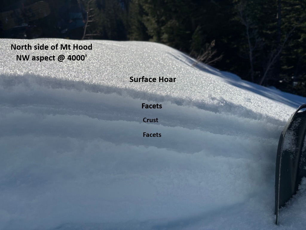
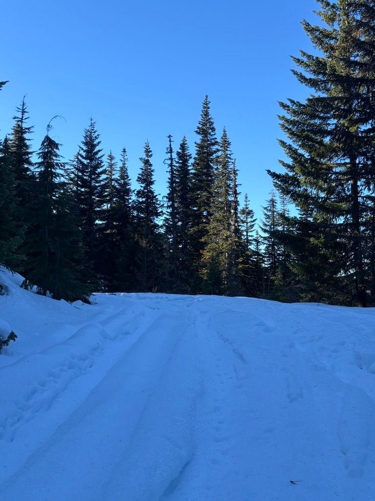
The Forest Service roads on the north side of Mt Hood are firm and are rutted out by off-highway vehicles. This made for very slow and challenging travel for snowmobiling. That said, we didn't have to go far to find weak surfaces resting over a crust. We found this weak upper snowpack structure on most shaded, open slopes at lower elevations. While this structure is not an issue right now, this is a concerning setup as snow starts falling later week.
No signs of instability in the locations we traveled.Weather
- Air Temp
- 30-40
- Cloud Cover
- clear
- Wind Loading
- none
- Recent Snowfall
- 0
- Snow Avail For Transport
- none
Snowpack
While we didn't make it that high, we still found a weak upper snowpack structure once we crested above 3000 ft. We found widespread surface hoar and near-surface facets resting over a fragile, decomposing crust. This set-up was present on most open slopes we traveled on up to 4000 ft. This surface hoar was impressively large (6-8 mm) in select areas. We didn't travel higher, but we suspect this structure could exist on middle elevation, shaded aspects.
We launched sleds where FS Road # 18 meets FS Rd # 16. There was very little snow at 2900 ft, but the snowpack grew substantially between 3500 and 4000 ft. We measured 110 cm on average at our turnaround point at 4000 ft.