
Quick report
- Cracking
- isolated
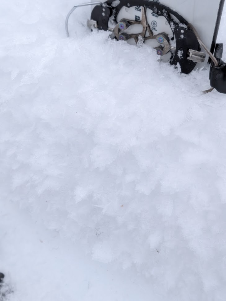
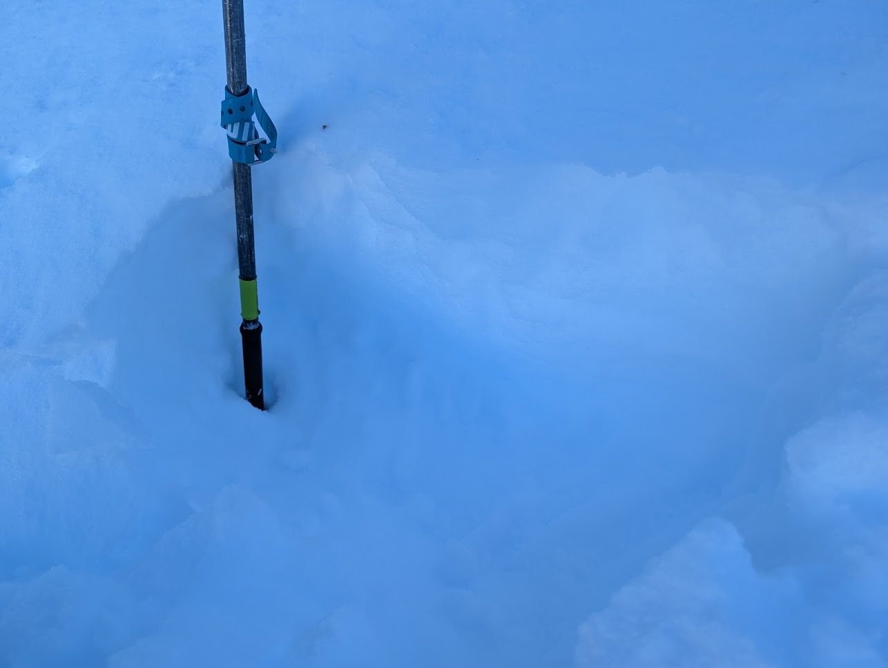
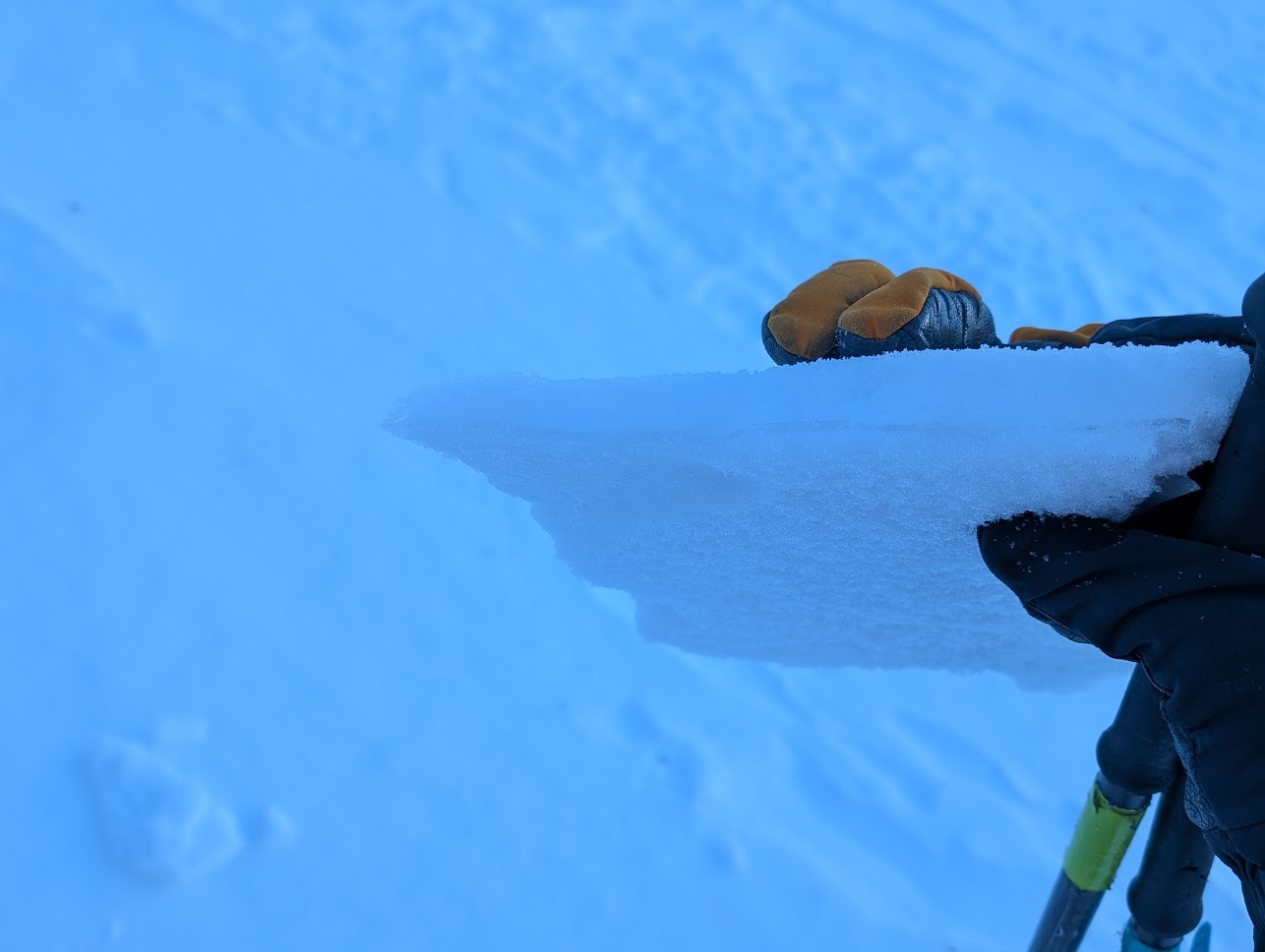
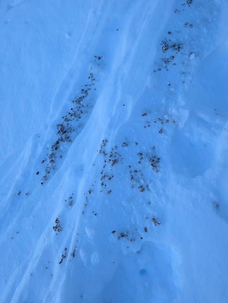
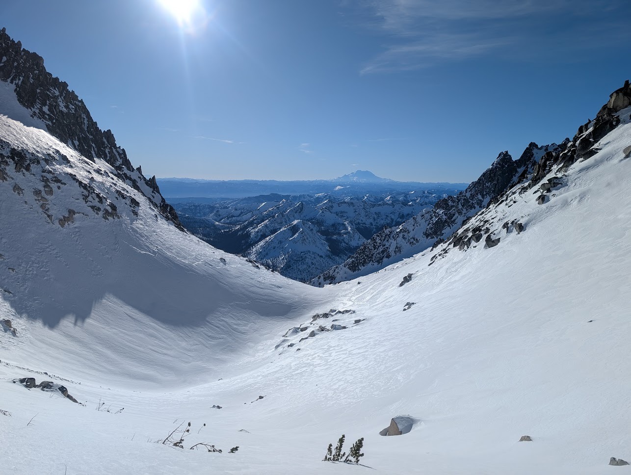
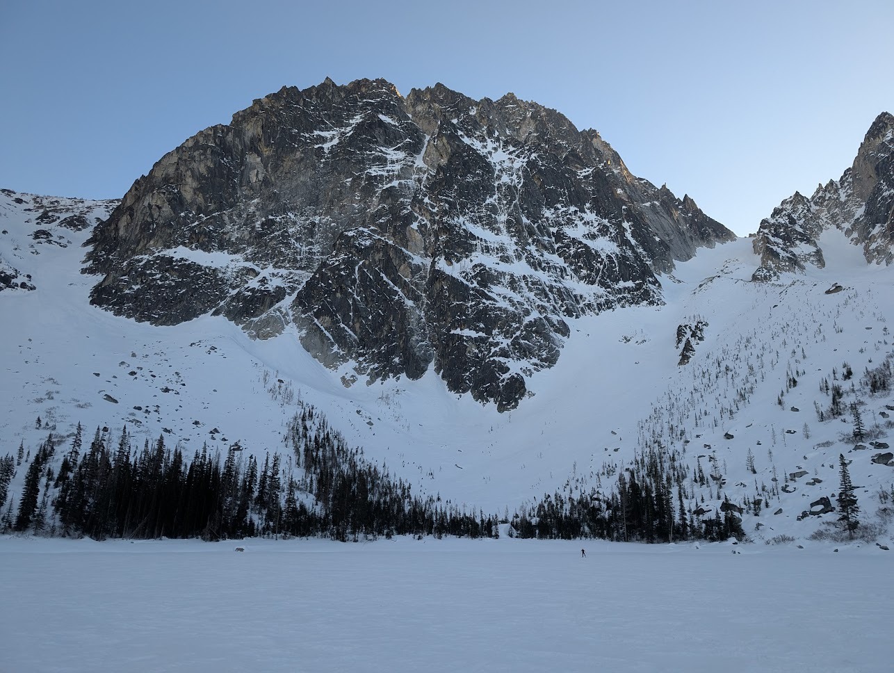
With a bitter cold morning inversion (9 F in town), we headed upward into the Stuart Range where we looked at aspects and elevations between 2300' and 8000'. If the Chelan County Fair had a competition for surface hoar, we could have logged several blue ribbon entries along Eightmile Road, with feathery, frosty "grains" to *5cm* near water sources. Between Colchuck Lake and the summer trailhead, we consistently found large surface hoar and large near surface facets in the cold and shade. As we ascended the summer trail, refrozen tree bombs became somewhat more common, but faceting and intrepid travelers had worn them down in many places. Below surface crusts on slight solars and refrozen legacy tree bombs, we found facets to 40cm deep. Quite simply, shady north is structureless, weak grains in the BTL, capped with tree bombs or not. As we emerged at the lake, the notorious Stuart Range winds' work became apparent with raised skin and ski tracks and a variety of drifted or stripped surfaces over melt-freeze crusts from various waves of the last weeks' inversions. All surfaces, breakable crusts, supporting crusts, and wind-deposited "microdrifts" (3-5cm), had some level of well-developed facets below from 5000' to 8000' in elevation. The deepest areas of facets were 20-50cm while booting, and they were quite well-developed. The best turns of the day were like those we'd found elsewhere east of the crest in recent weeks: shady, wind-sheltered, cold environments between 4000' and 7000'. A few intrepid spirits had a booter in to the base of the Triple Couloirs and we saw raised ski tracks out of the NBC. It seemed like the NEC hadn't had any traffic in recent days/weeks. So what's our takeaway? The weather pattern change doesn't guarantee anything, but it seems like after the next storm, we're going to have a poor structure in the east central zone, with incremental layering over weak snow further east from the Cascade Crest. Until the forecast coalesces and the storm materializes, we wait.
Weather
- Air Temp
- 20
- Cloud Cover
- clear
- Wind Loading
- light
- Rain Elevation
- 0
- Recent Snowfall
- 0
- Snow Avail For Transport
- small smounts
Calm winds, with topographic influence, largely light gusts east up the Colchuck Glacier to 8000'; no wind below treeline. Inversion conditions, with temps near freezing at 8000' and 19 F at the 2200' parking area. The subsiding cold air pool was visible over the Kittitas Valley, trapping woodsmoke and I-90 exhaust.
Snowpack
We didn't dig or measure HS, but the Colchuck Lake Bridge had 1.5+ meters of snow, which is great coverage for this time of year.
Avalanche
- Size
- D1.5 R1
- Type
- WL
- Aspect
- S
- Trigger
- N
- Elevation
- 8000 ft
We saw older debris from afar: several R1-D1.5-N-U on steep south NTL and ATL