
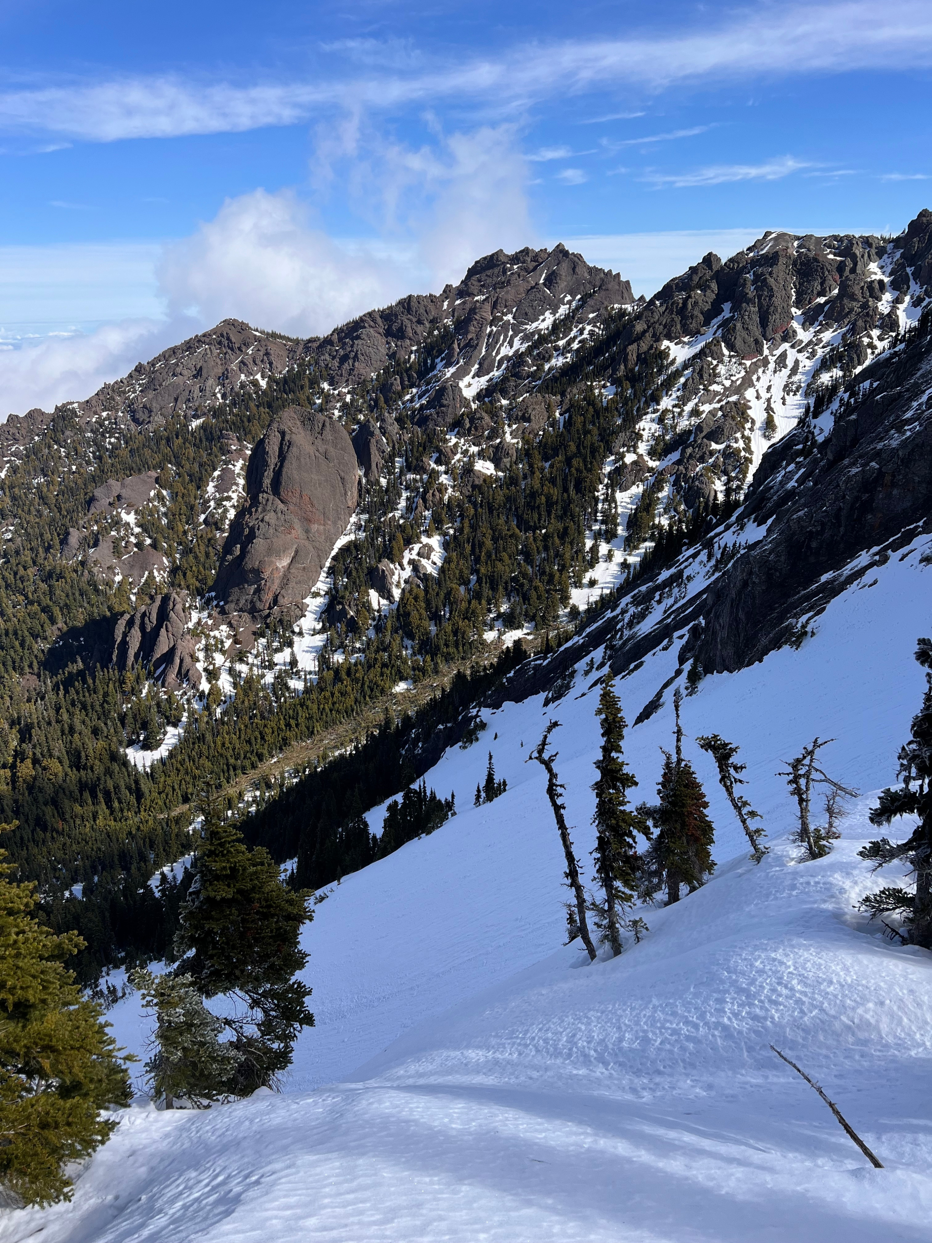
Quick report
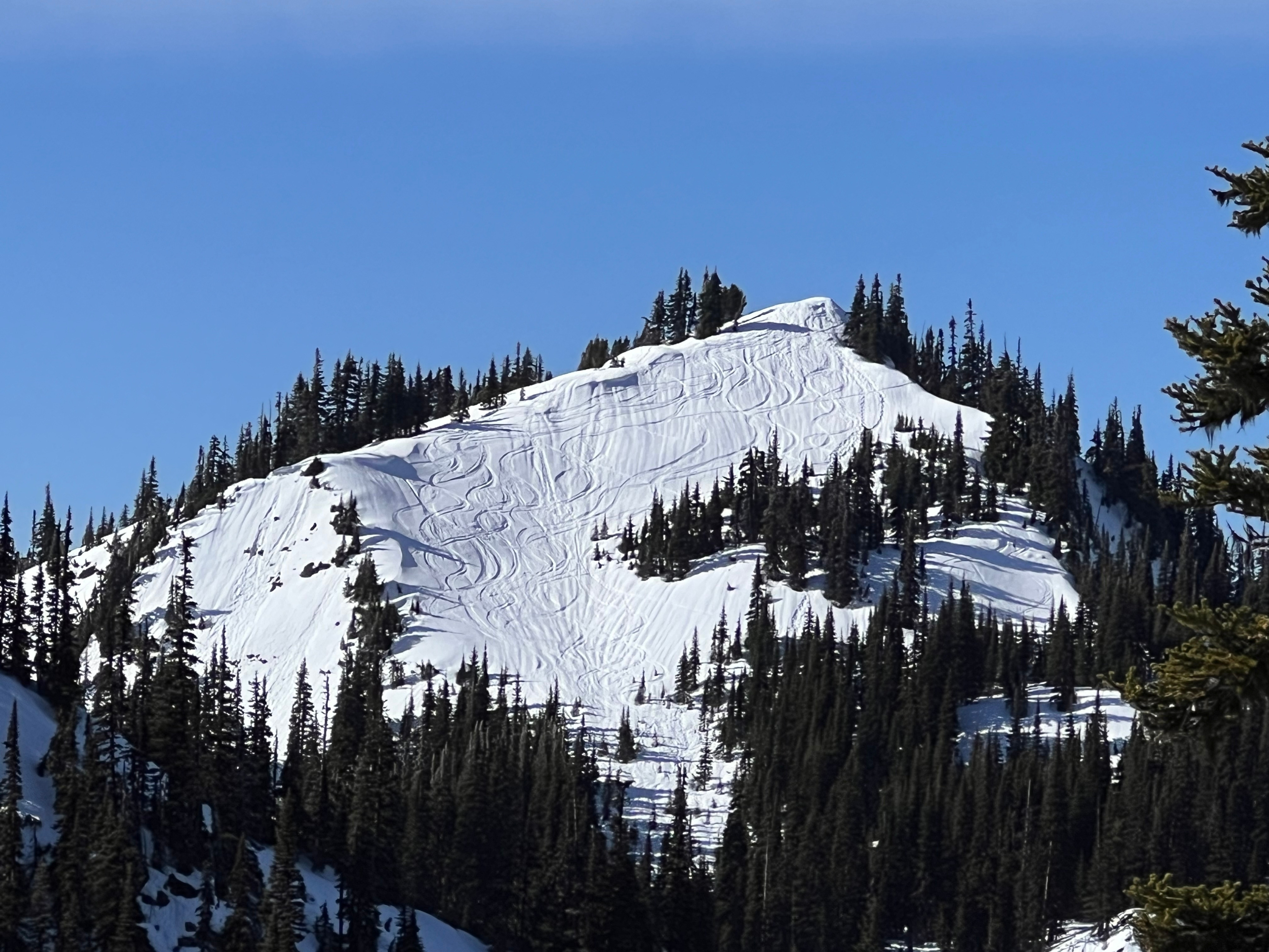
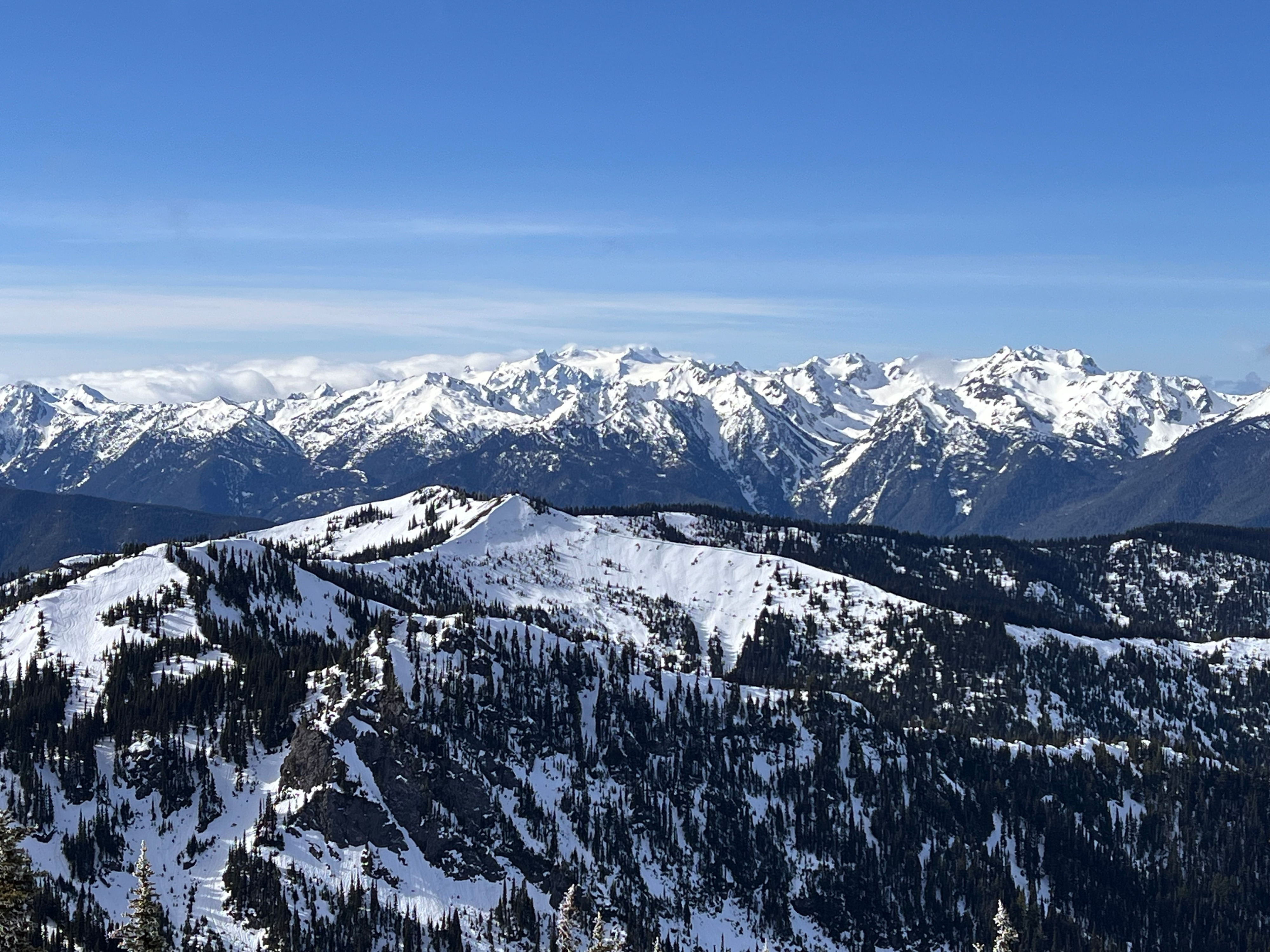
We observed a stable snowpack overall with some superficial signs of warming (roller balls on ski cuts, deep boot & ski pen) later in the day on east and southeast aspects.
Weather
- Air Temp
- 39
- Cloud Cover
- scattered
- Wind Loading
- none
- Rain Elevation
- 4000
- Recent Snowfall
- 0
- Snow Avail For Transport
- none
We found calm winds, clear skies that turned partly cloudy later on, warm temps in the shade and plenty of solar radiation.
Snowpack
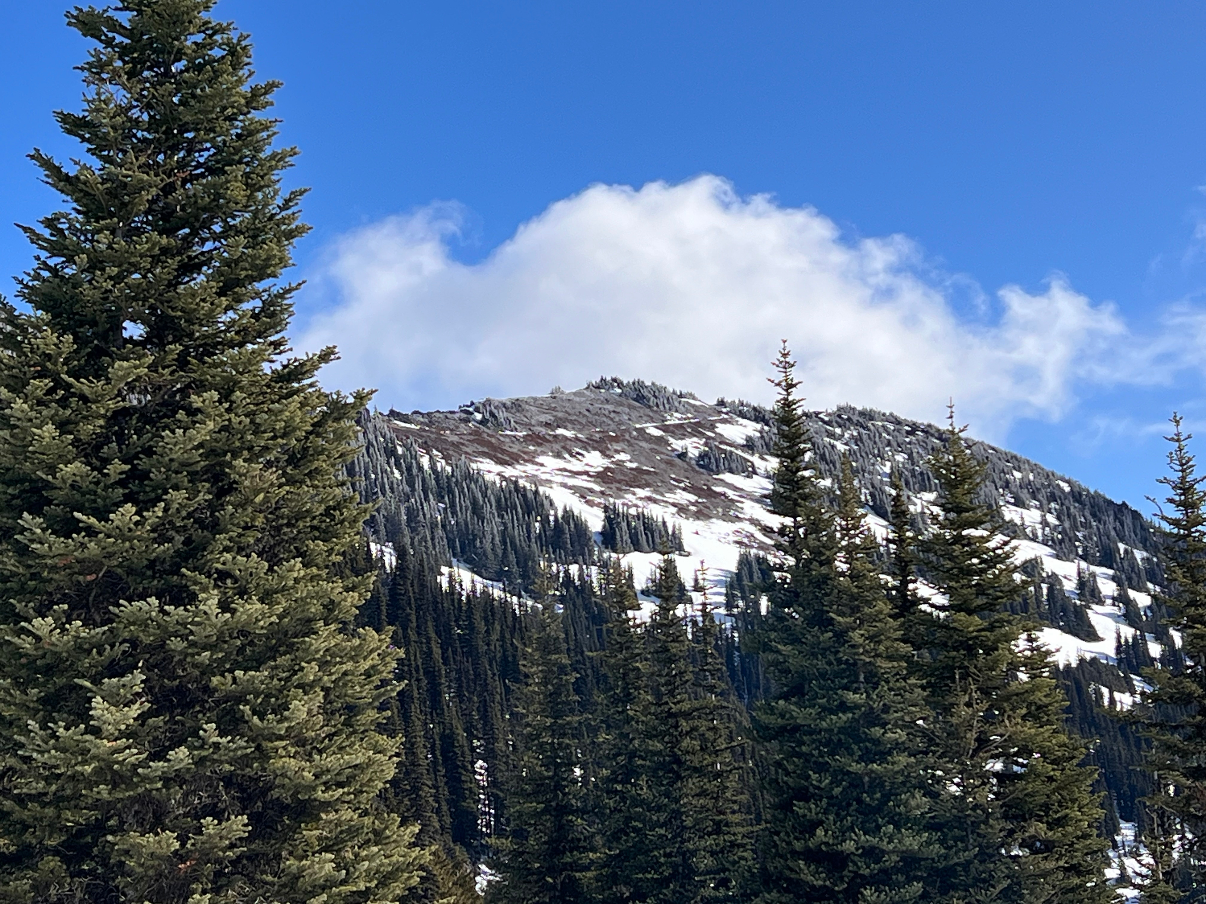
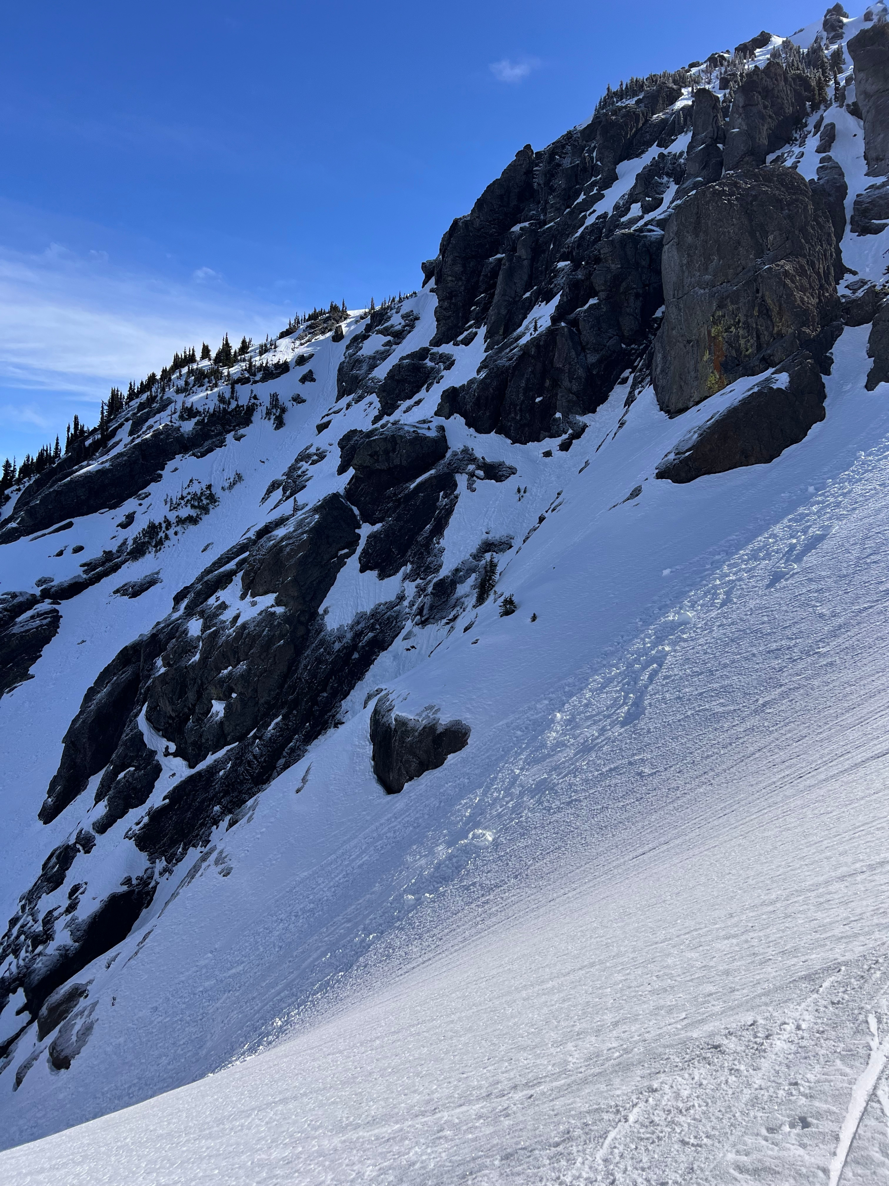
Spring has sprung. We observed a spring snowpack today - there is no dry or cold snow to be found in the upper snowpack. Southern aspects hold mostly isothermic melt forms - in some places these unconsolidated melt forms are homogenous to the ground. Even shady southern slopes held soft, wet snow as of 10am. Northern aspects are locked up under a variable but generally stout crust - in some places the crust is 20cms thick. This crust is textured with a light coating of surface hoar in the shade - while is it mostly edgeable, steep and frozen slopes present a sliding hazard. There is old superficial wet loose debris on some north facing slopes - this debris could be frozen still and also present a travel hazard. Solar and thermal warming on south facing slopes created some sloppy snow on our way back to the truck this afternoon. Boot pen was more than 6 inches and our skis were sinking in this wet, unconsolidated snow on the descent, requiring us to power our skis through turns to stay in control. Surprisingly, we did not see glide cracks in places they usually appear. With no snowbombs falling from trees, few natural triggers (cornices) available, and no layer of concern for wet snow to slide on, we did not observe an avalanche problem today.