
Quick report
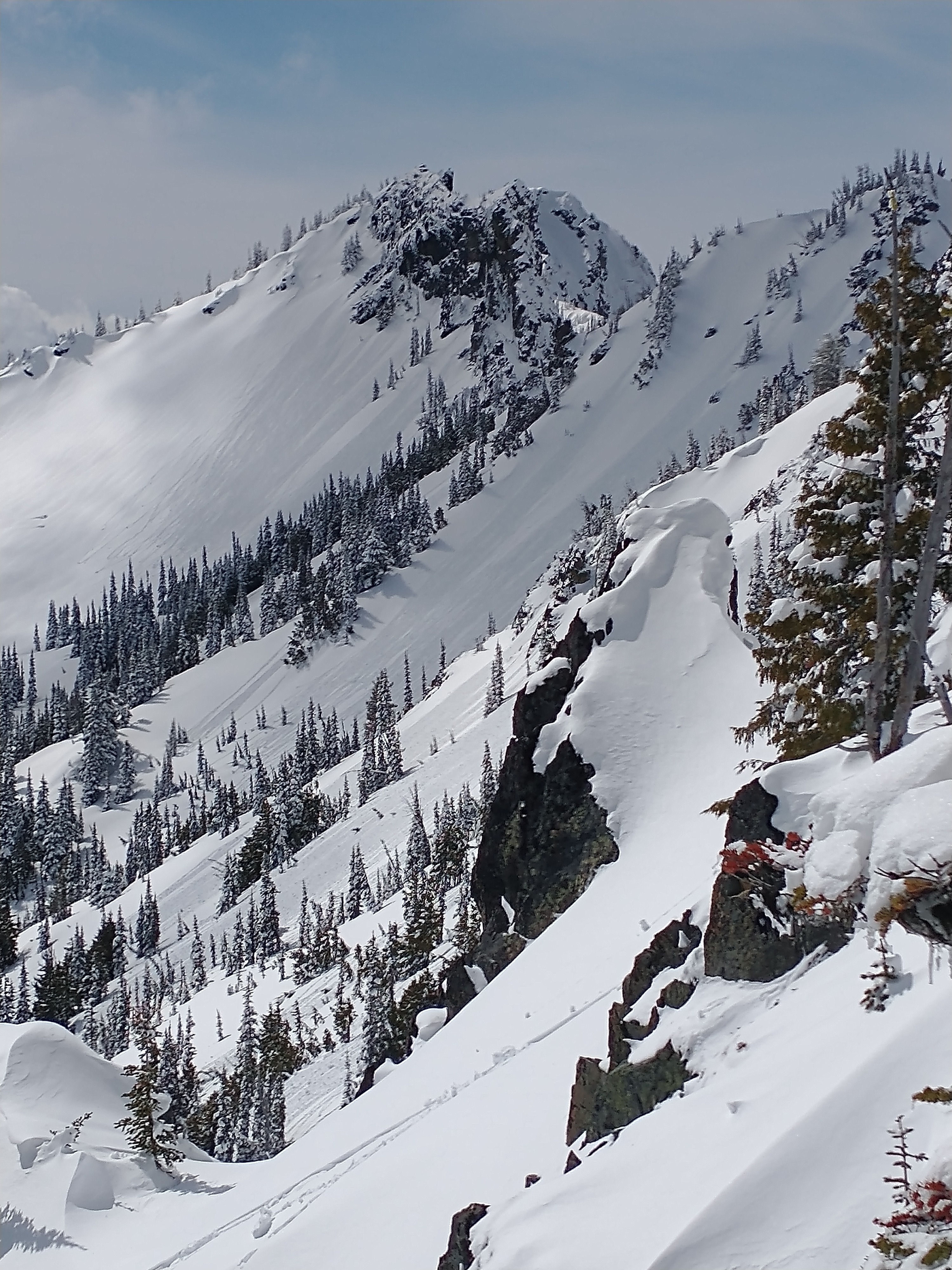
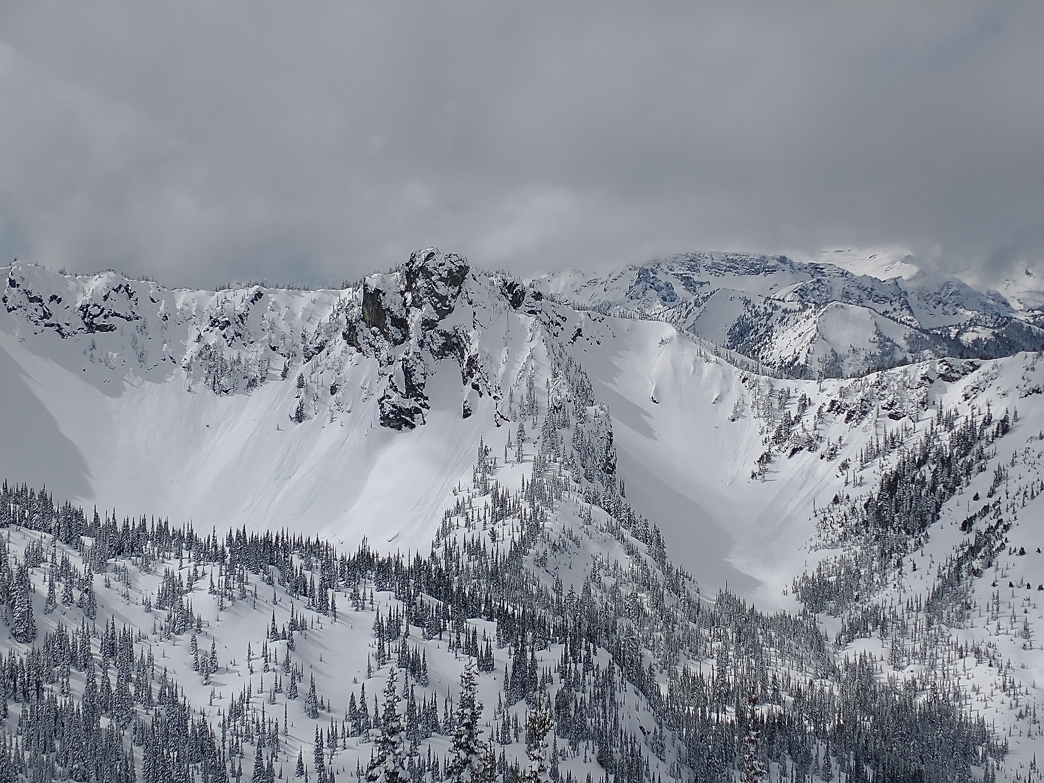
I took a rocket trip to Crystal today to get some views of the surrounding terrain and gauge how an influx of sunshine affected this week's snow.
As mentioned in the avalanche section, I witnessed increased wet avalanche activity through the morning, mostly confined to easterly aspects. Widespread rollerballing and wet loose avalanches up to size D1.5 were observed.
Wind effect was evident with textured surfaces in exposed areas and pillow-like drifts near ridgelines and rocky features.
Weather
Partly sunny with winds gusting to light at times. Cloud cover really varied throughout the day.
Snowpack
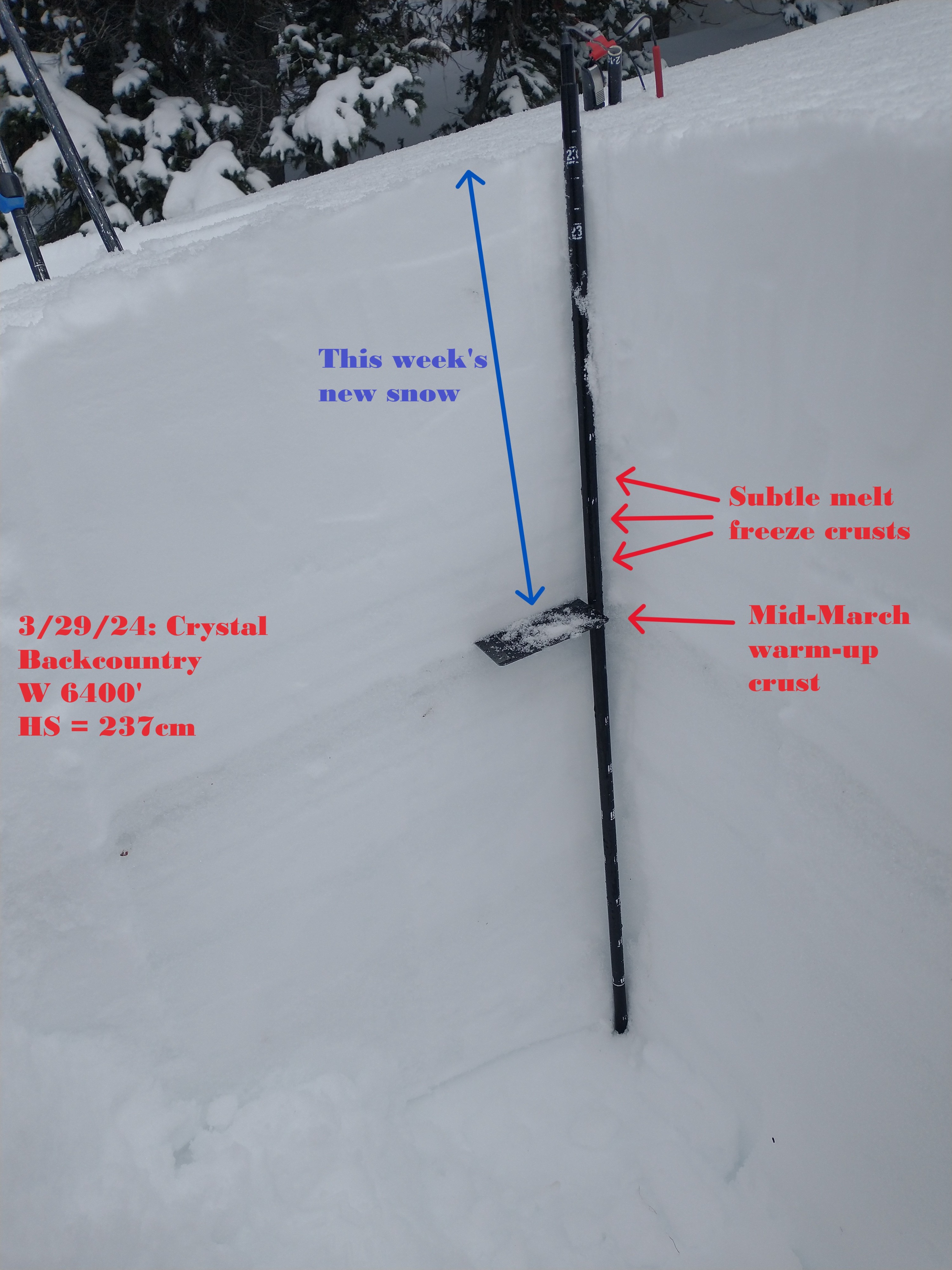
This week's storm snow is settling out and healing well. There are still some interfaces that produced failures in compression tests, but none of them showed an ability to propagate during extended column tests.
On slopes that receive direct sunshine, there is less HST over the crust from our last major warm-up. There's also a few subtle melt-freeze crusts lower in the HST, likely from earlier this week.
Cold, dry snow still exists on northerly aspects at mid to upper elevations. At lower elevations, the snowpack is heavier and wetter, and depleted significantly below ~4500.
Avalanche
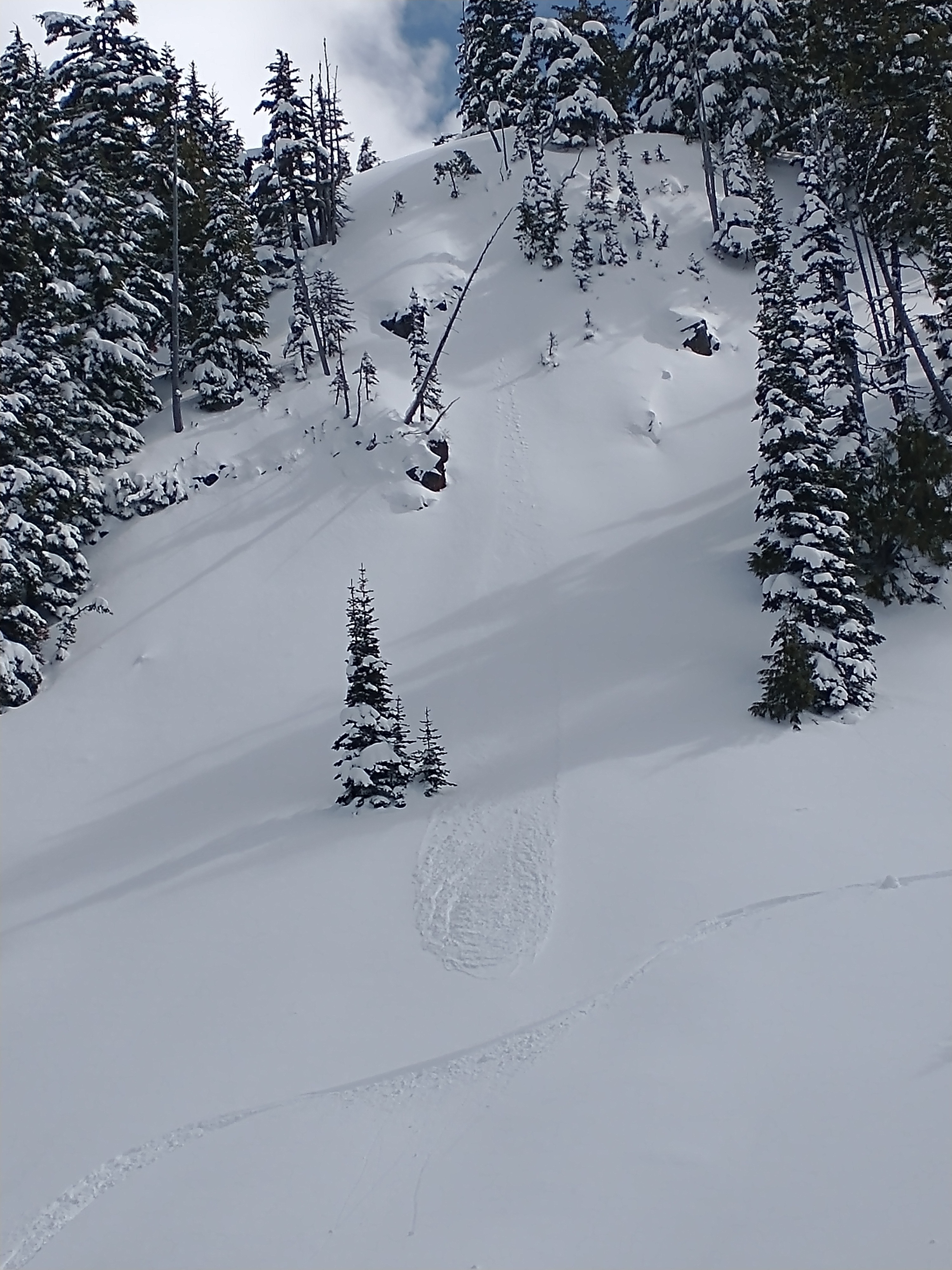
I intentionally triggered a small wind slab avalanche in a confined chute. It was roughly 4" deep and soft. Wet avalanche activity increased throughout the day. I mainly observed it on easterly aspects, but I suspect it occurred on southerly and later in the day, perhaps westerly.