
Quick report
- Cracking
- isolated
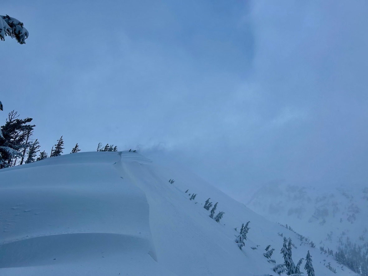
Avalanche conditions felt more dangerous once at 6000 ft and higher. Incremental storms and loading have been creating large slabs of drifted snow on leeward aspects (NE-E-SE). Below 6000 ft, travel was wet and rollerballs were widespread. Bring the gore-tex!
Instibility is confied to wind-loaded aspects or steep slopes at middle and lower elevations that hold wet snow.
Weather
- Air Temp
- 31-34
- Cloud Cover
- obscured
- Wind Loading
- intense
- Rain Elevation
- 5800 ft
- Recent Snowfall
- 16-18 cm above 5500 ft
- Snow Avail For Transport
- large amounts
Classic Pacific Northwest kinda day: Drippy, misty conditions below 5800 ft. Above this, mist gave way to snow showers and strong SW winds. These winds productively drifted the 7-8 inches of new snow onto leeward aspects.
Snowpack
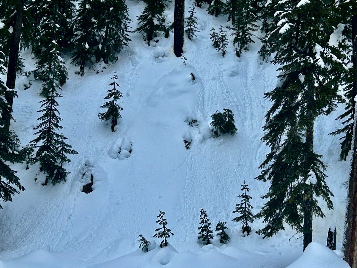
Below 5500 ft: Wet! Observed widespread rollers and one small wet loose avalanche in lower Heather Canyon. On a test slope, I was able to release a small "pushalanche" at 5500 ft. The wet snow was running on the 1/20 crust 8-10 inches below the surface.
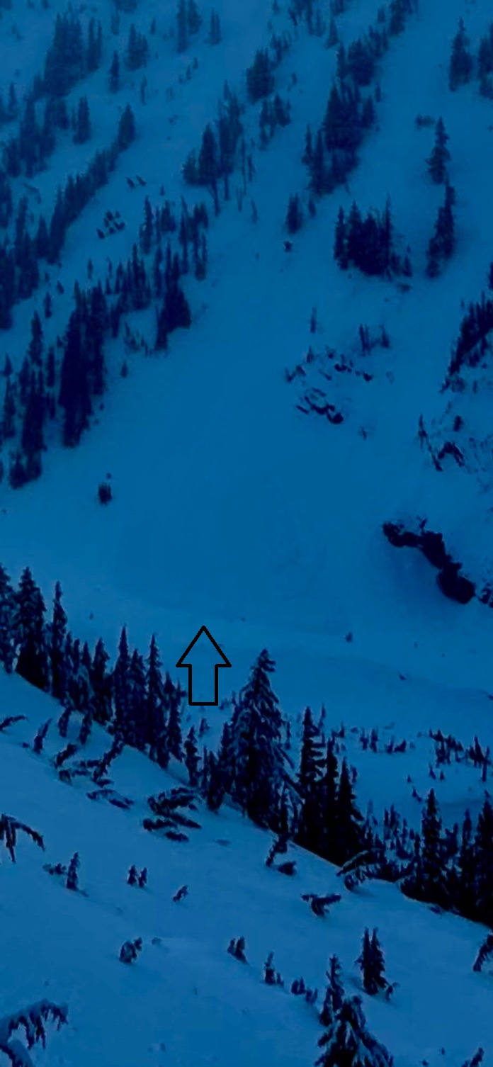
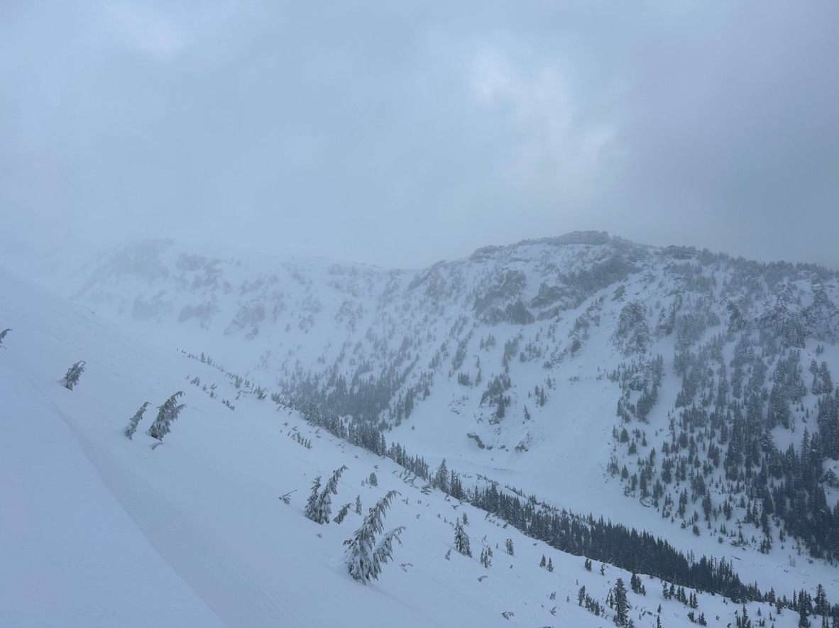
Above 5500 ft: Windy! Climbing above this elevation wet snow turned drier (but still dense) and signs of wind drifting were prominent. Strong SW winds productively moved snow into 1-2 ft deep drifts on east aspects. West aspects were stripped down to the crust. The 1/20 crust now sits 8-10 inches below the snow surface in most areas. Overall, the new snow is quite dense and appears to be bonding well to this surface. Lastly, we observed the debris of one large avalanche on a west aspect at the base of one of the Gnarl Ridge chutes. Due to poor visibility, we're unsure what elevation this avalanche ran from and how old the debris is. We suspect it could be from the natural cycle that occurred on 1/17.