
Quick report
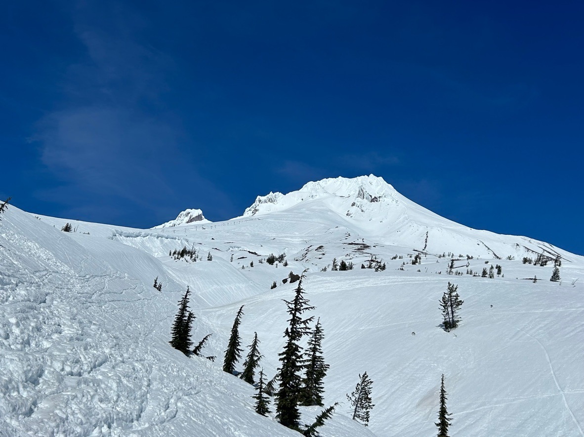
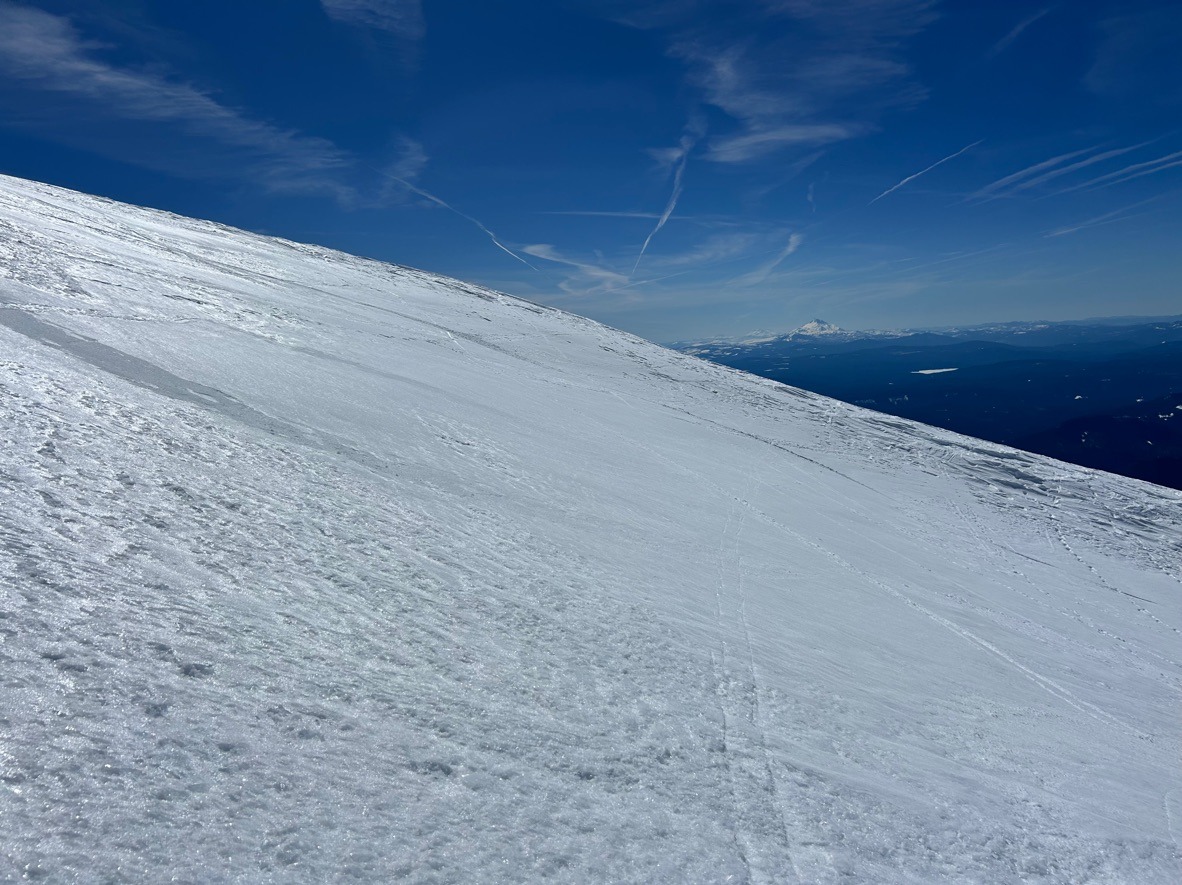
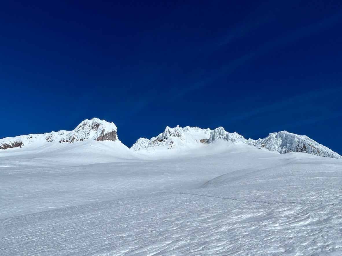
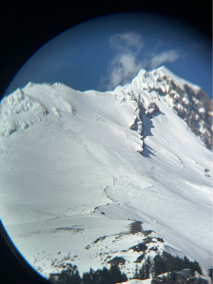
The prolonged warm stretch left its mark across the slopes of Mt Hood. Above 7000 ft we're in a solid melt-freeze cycle. Below this, the upper snowpack is unsupportable and wet. Look for very firm conditions at upper elevations in the coming days.
Weather
- Air Temp
- Mid 40's
- Cloud Cover
- clear
- Wind Loading
- none
- Recent Snowfall
- 0
- Snow Avail For Transport
- none
Snowpack
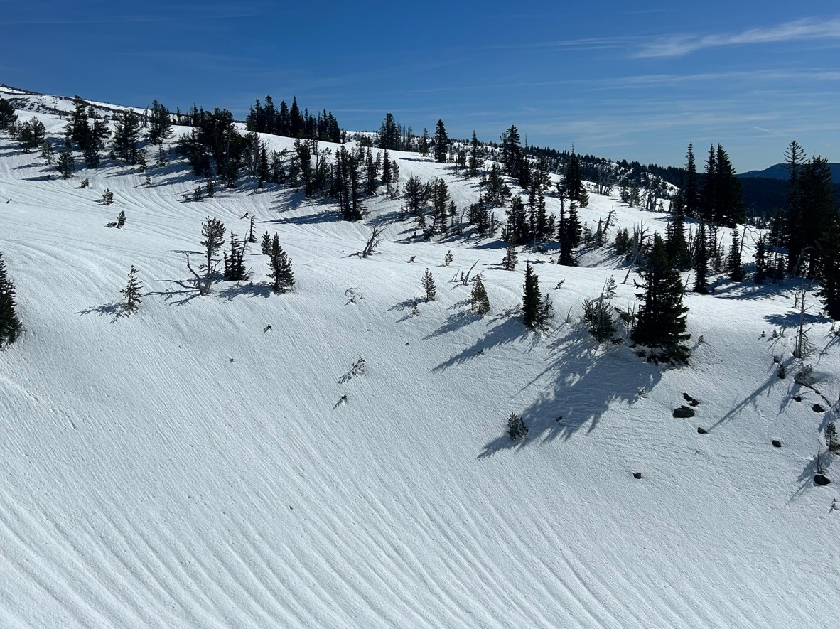
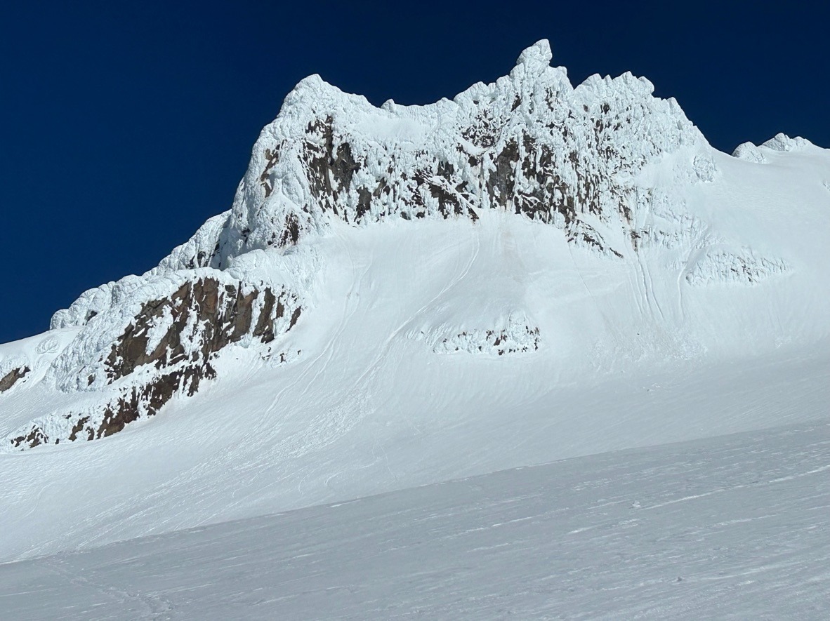
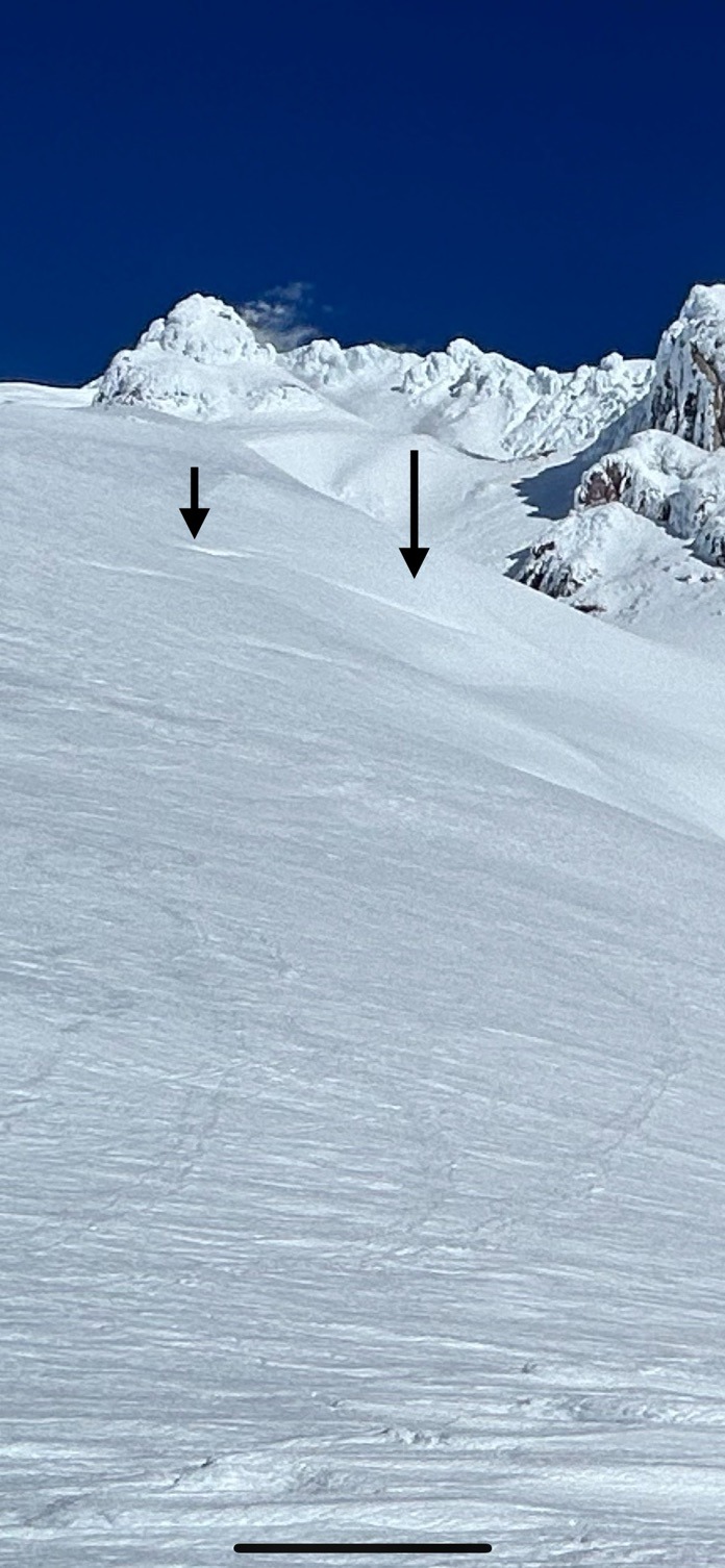
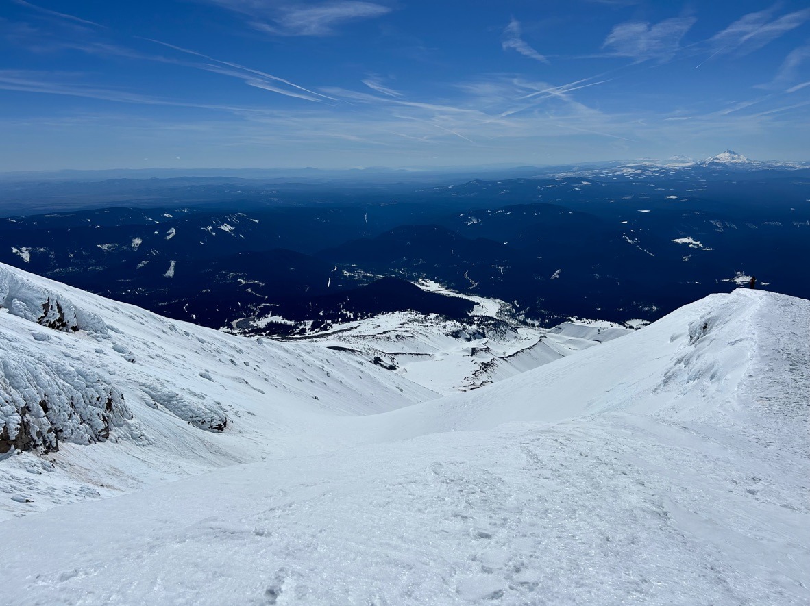
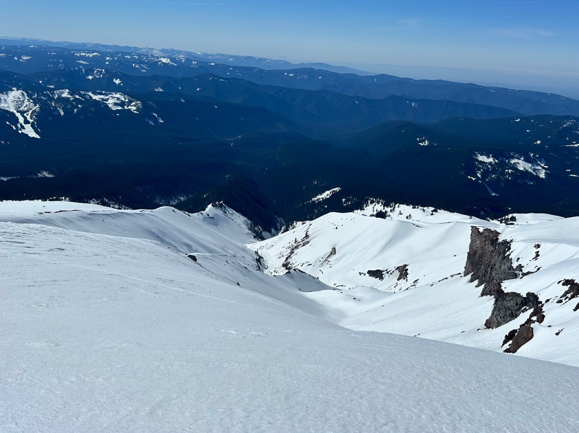
We're in a solid melt-freeze cycle above 7000 ft on Mt Hood. Below this, the upper snowpack is wet and sloppy. Boot penetration often exceeded my ankles at these elevations. Despite the wet nature of the snowpack at these elevations, I observed minimal fresh wet loose activity. It seems like most wet loose ran its course several days ago. Last week's east winds helped erode cornices, but in the few places they existed, they were sagging and appeared fragile. These east winds also left a patchwork of wind-affected surfaces across much of the terrain on the south side.
The heat wave created several other hazards such as thinly bridged crevasses in the Upper White. In a couple of spots, these cracks are starting to sag inwards.
This time of year is all about timing. While southerly aspects softened by 10 am, west aspects remained firm until nearly noon. Having the proper sharps gear will be essential to help navigate the early-day firm snow.