
Quick report
- Collapsing
- specific
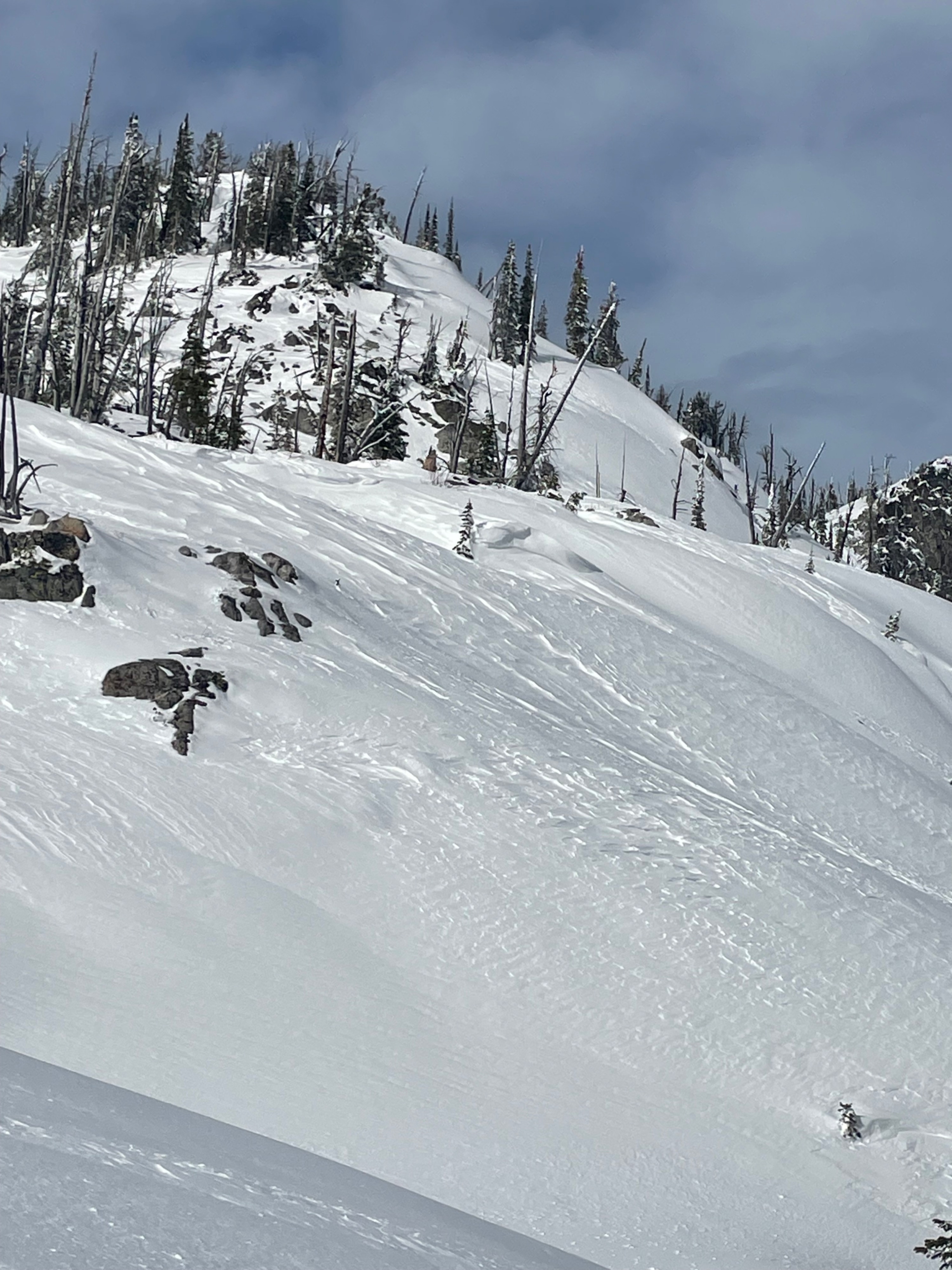
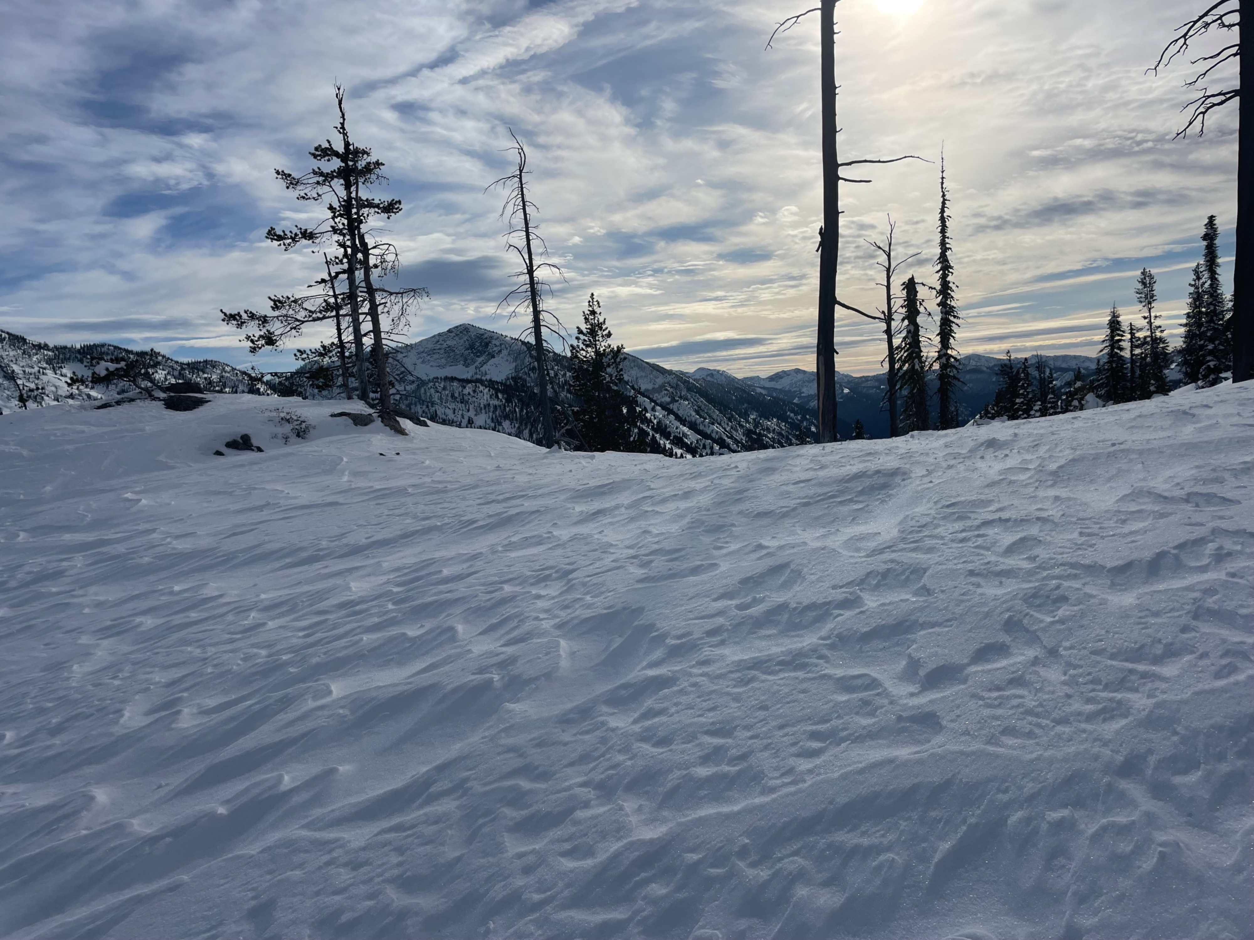
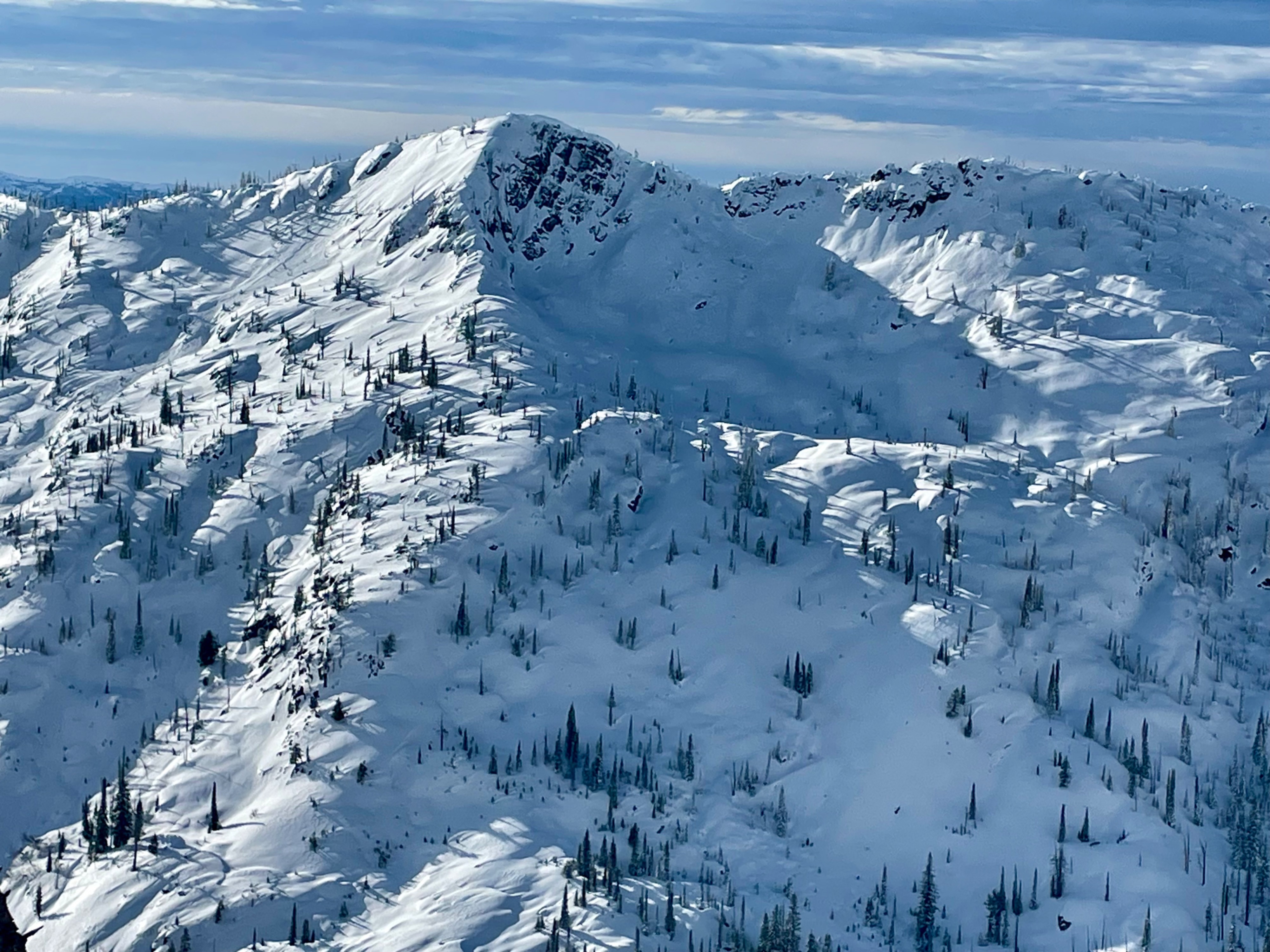
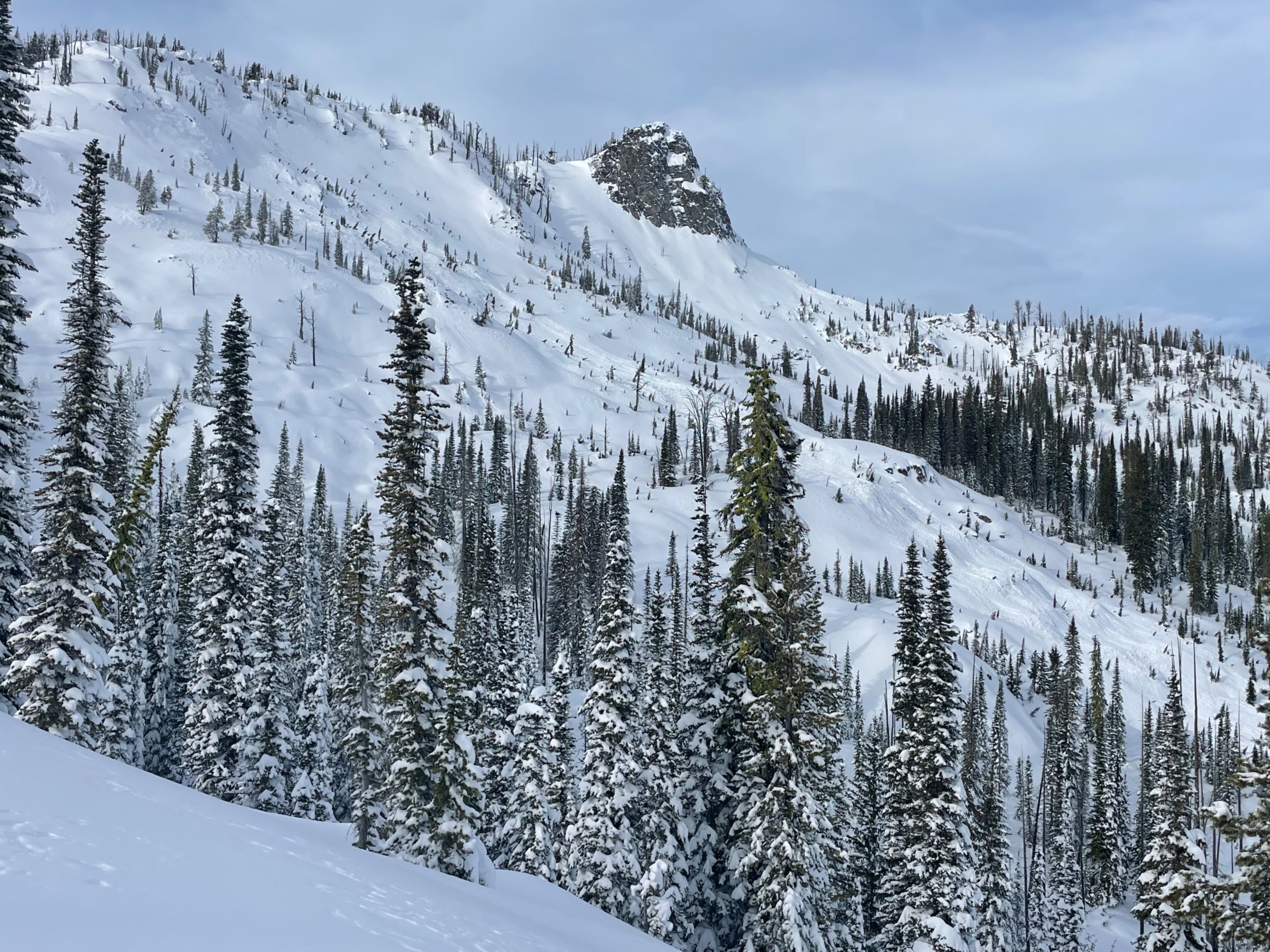
Toured up east, then south side of Gunsight. Many whumps and collapses in lower shrubs and logs despite following a skin track from 2 days before and there being lots of evidence of warming from the previous day. Quick hand pits showed several layers of concern with clean breaks. After climbing a bit, we had views of a large natural avalanche running 1000’ vertical feet. It looked to have released the day prior from wind loading and I’m guessing ran on the buried surface hoar layer. Three strikes and we were out. We switched to a west aspect and found warm saturated snow up to about 7000’. We also found more wind affected snow, especially closer to the ridge but did not have any collapses, cracking, or signs of instability. The main hazard was making sure you didn’t fall into log holes, or getting sucked into shallow shrubs. We felt more at ease with this snowpack than the opposite side. Overall this area is still thin and lumpy in the 6000-7000’ elevation band. I really didn’t like the feeling of the eastern aspect side of the drainage and would be suspicious/weary of terrain like Fall creek. I’ve dialed back my terrain choices the past week and will continue to do so until the snowpack stops talking. The unpredictable nature of buried surface hoar has me sticking to non-avalanche terrain and avoiding even small terrain features that have potential to slide into terrain traps or gullies. Stay safe out there!
Avalanche
- Size
- D2
- Aspect
- NE
- Trigger
- N
- Elevation
- 8000 ft
Looked like wind loading on buried surface hoar-natural.