
Quick report
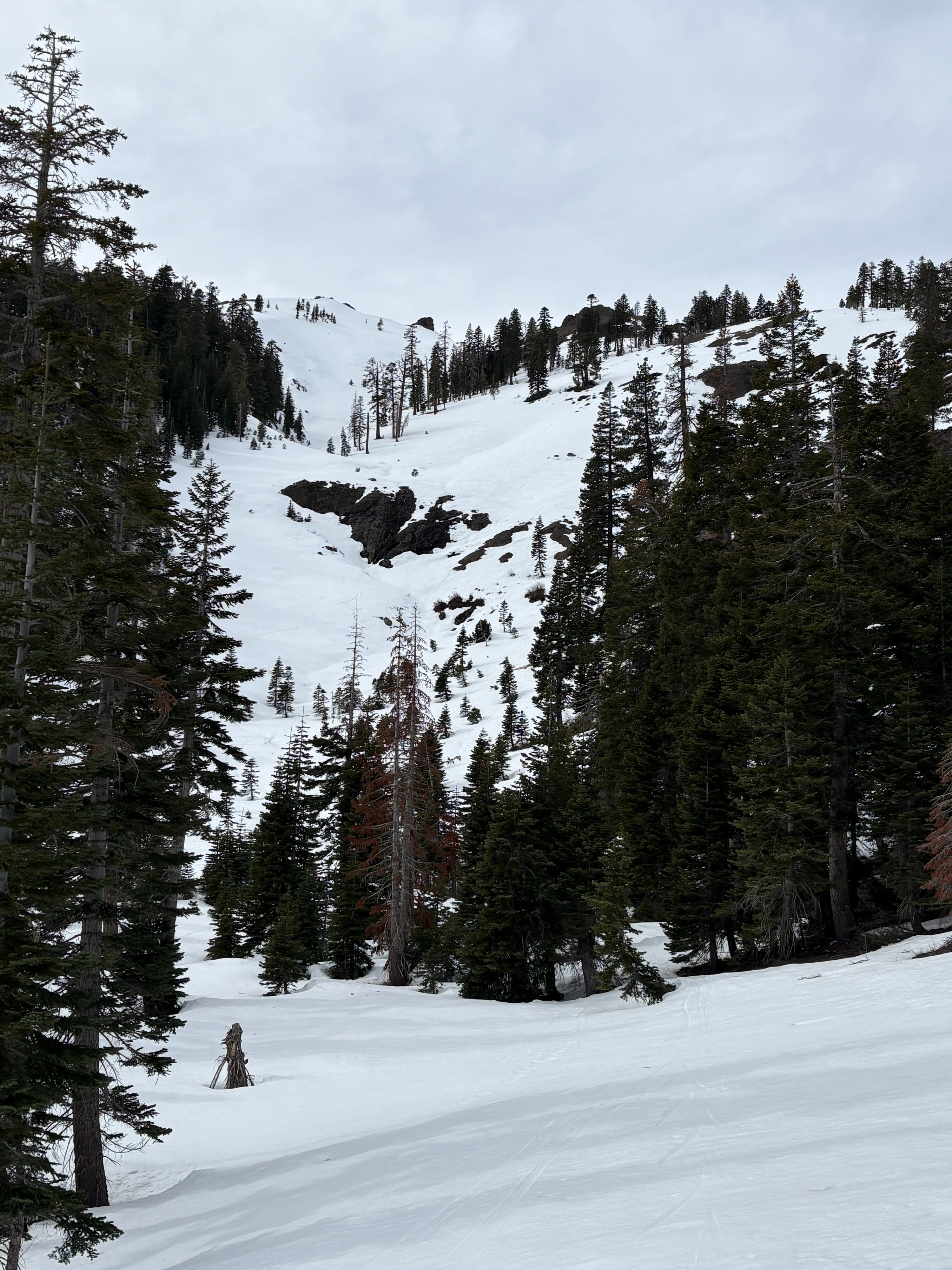
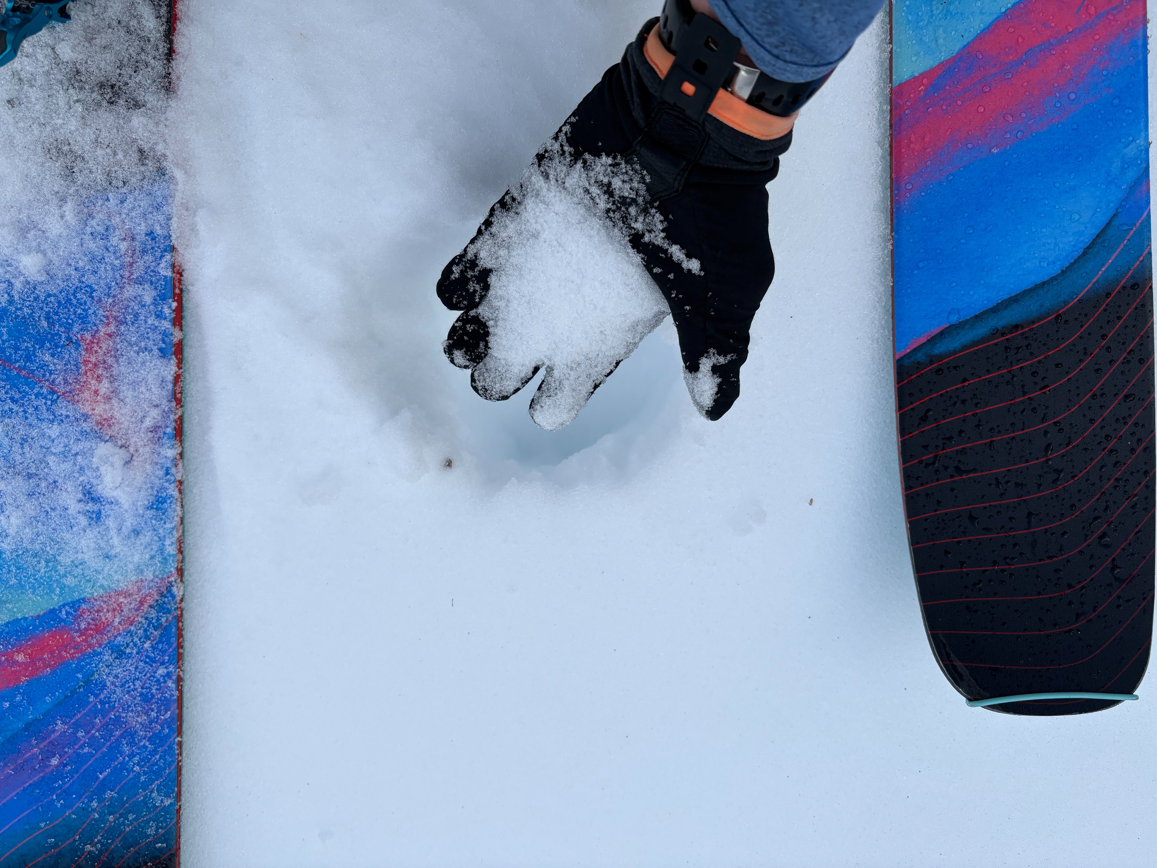
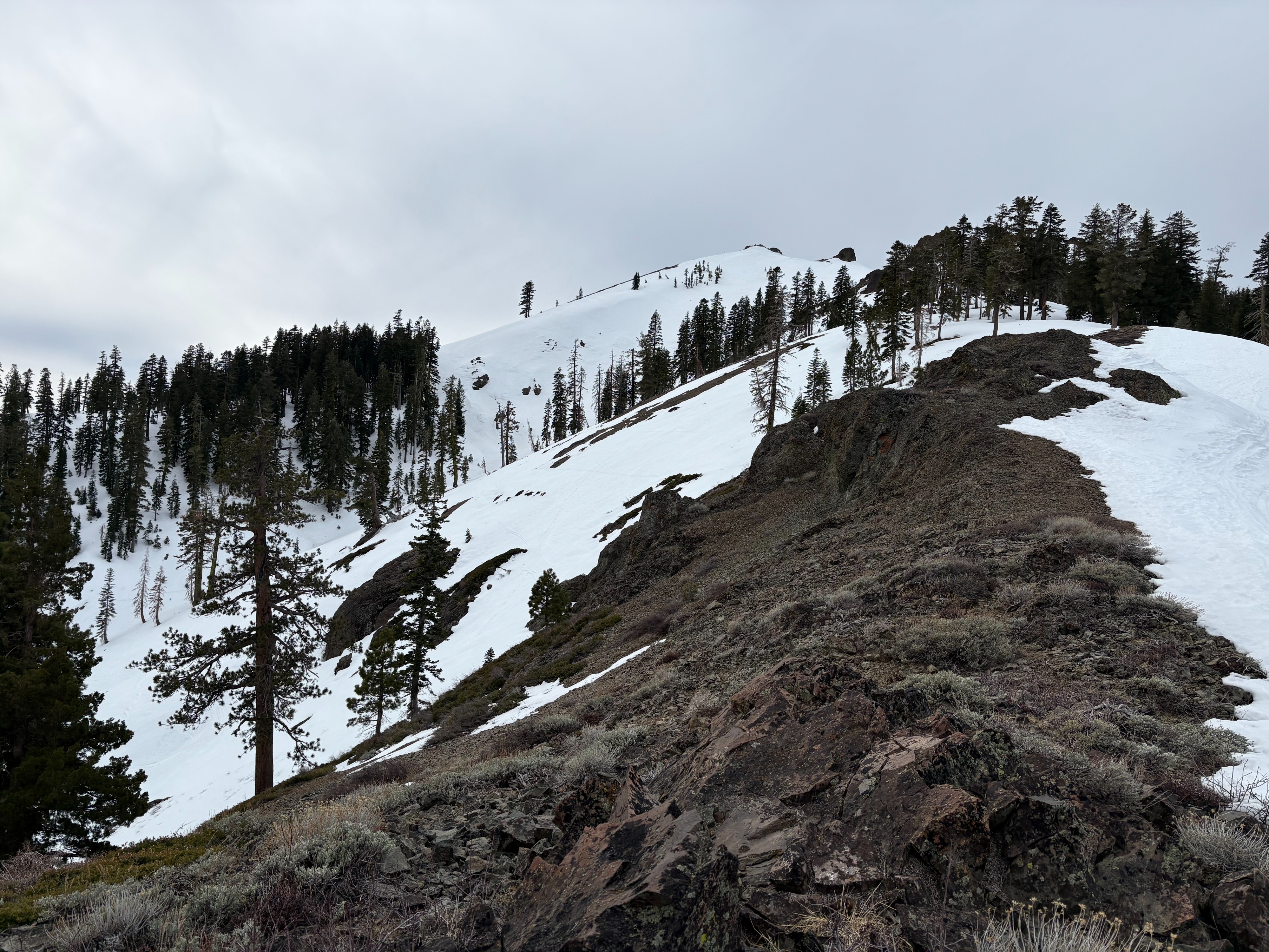
We went to Silver Peak to look at snow surface conditions before our next storm arrives. A thin surface rain crust exists throughout this area up to our high point today of 8000'. This rain crust was from the rain event on Friday Feb 6 and also potentially some additional light rain last night in this area. Below this crust, weak near surface faceted snow continues to exist on NW-N-NE aspects. Below 7000', these near surface facets are moist and more dense. Above around 7000-7400', the near surface facets became dry to moist and more developed. The surface rain crust is thin and does not offer much bridging for the weaker snow just below it. A large storm loading event continues to be a concern for the current weak upper snowpack structure.
The thin surface rain crust provided breakable crust conditions on many slopes today. Melt freeze crusts on SE aspects were still firm by midday with increasing clouds and winds limiting any softening. Although firm, these aspects were smooth and edgeable and provided fun travel conditions and preferable to the breakable crust.
Weather
- Air Temp
- Above freezing
- Cloud Cover
- broken
- Wind Loading
- none
- Rain Elevation
- 8000-8200'
- Recent Snowfall
- 0
- Snow Avail For Transport
- none
Increasing clouds throughout the day. Winds were mostly light from the East with moderate gusts above 8000' on the East Ridge of Silver.