
Weather
- Cloud Cover
- overcast
- Wind Loading
- none
- Recent Snowfall
- None
- Snow Avail For Transport
- none
Broken sky cover this morning. Warm overnight temperatures prevented the snow surface from freezing. Calm winds until early afternoon. Dark storm clouds associated with a cold front were moving in from the W/SW around 1400. W/SW winds were gusting into the moderate range.
Snowpack
The upper foot of the snowpack is very saturated across multiple aspects and elevations. Snow is the wettest on steep, south-facing slopes and lower elevations. We didn't observe as much wet loose debris as I anticipated. Very hard MF crust complex one foot down is slowly softening up, but could provide a bed surface for wet loose on north-facing terrain. Cooler, more wintry weather this weekend will help slow wet loose activity and begin to re-freeze wet snow at the surface. Surface crusts will only cap saturated snow below and may still be spongy this weekend.
Avalanche
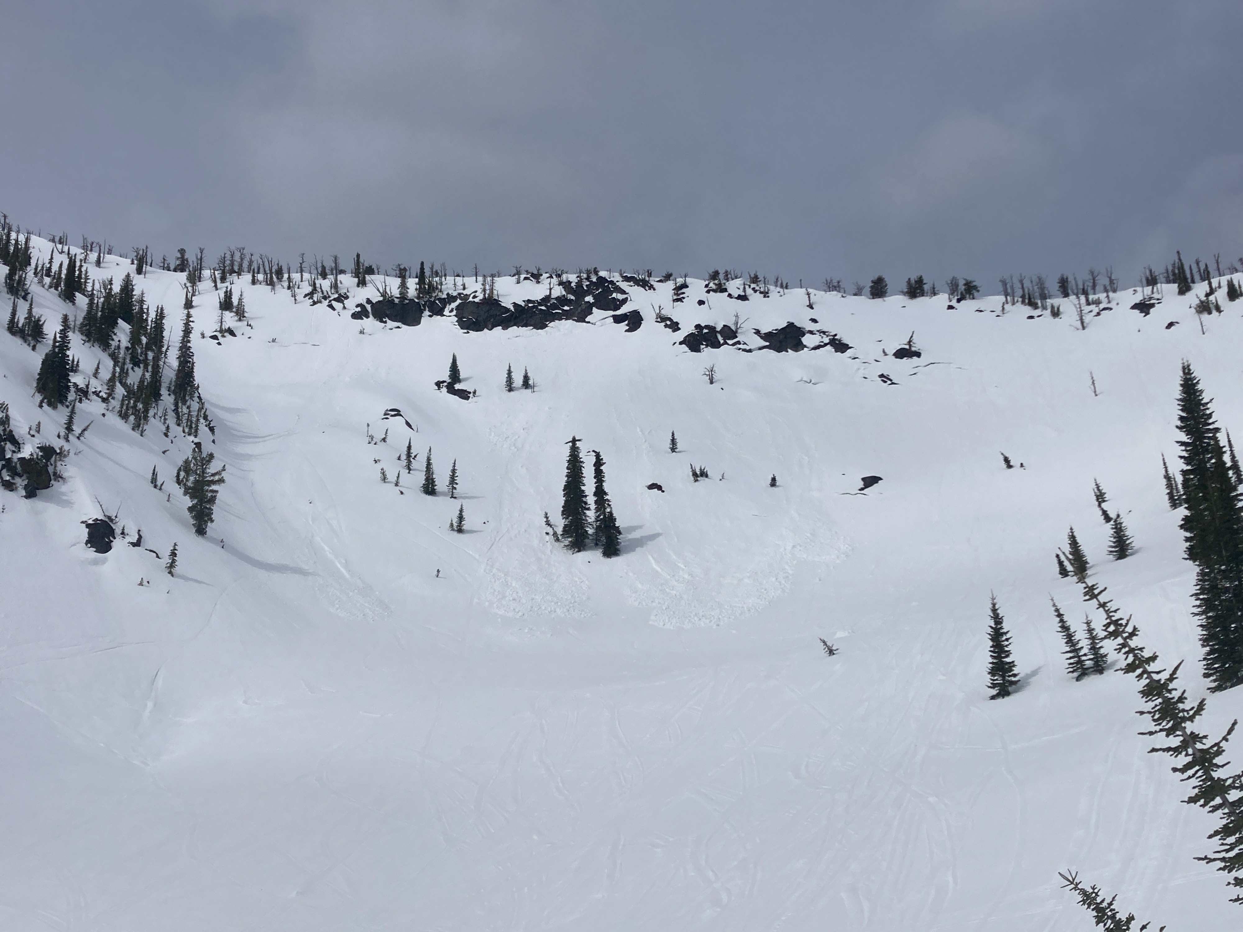
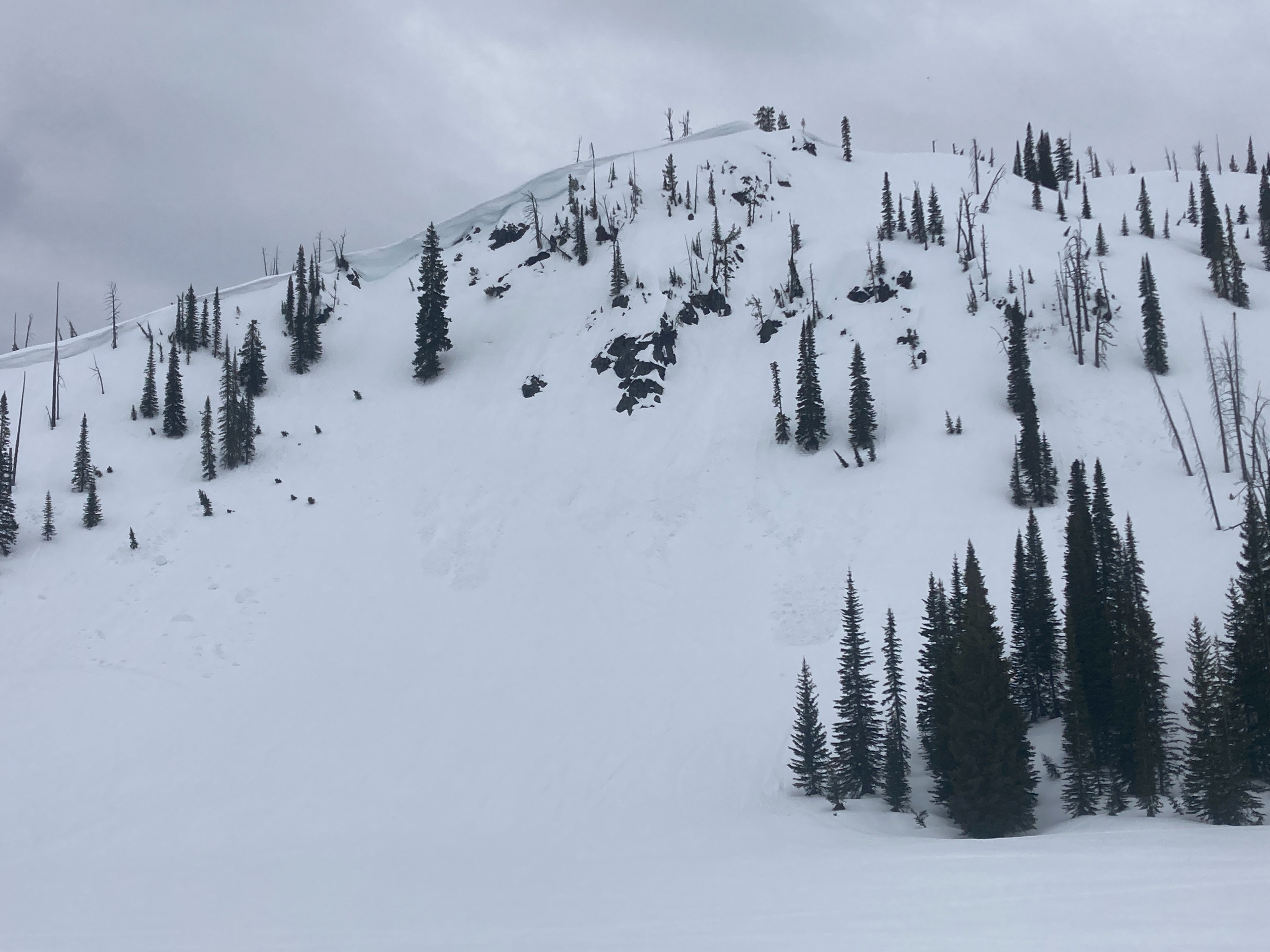
Several, small wet loose avalanches (D1-1.5) observed from previous 48 hours. Some isolated cornice falls were observed as well.