
Quick report
We observed recent avalanche activity on the leeward side of the high ridges.
Weather
- Cloud Cover
- overcast
- Wind Loading
- moderate
- Rain Elevation
- <5000 ft.
- Recent Snowfall
- 20-40
- Snow Avail For Transport
- moderate amounts
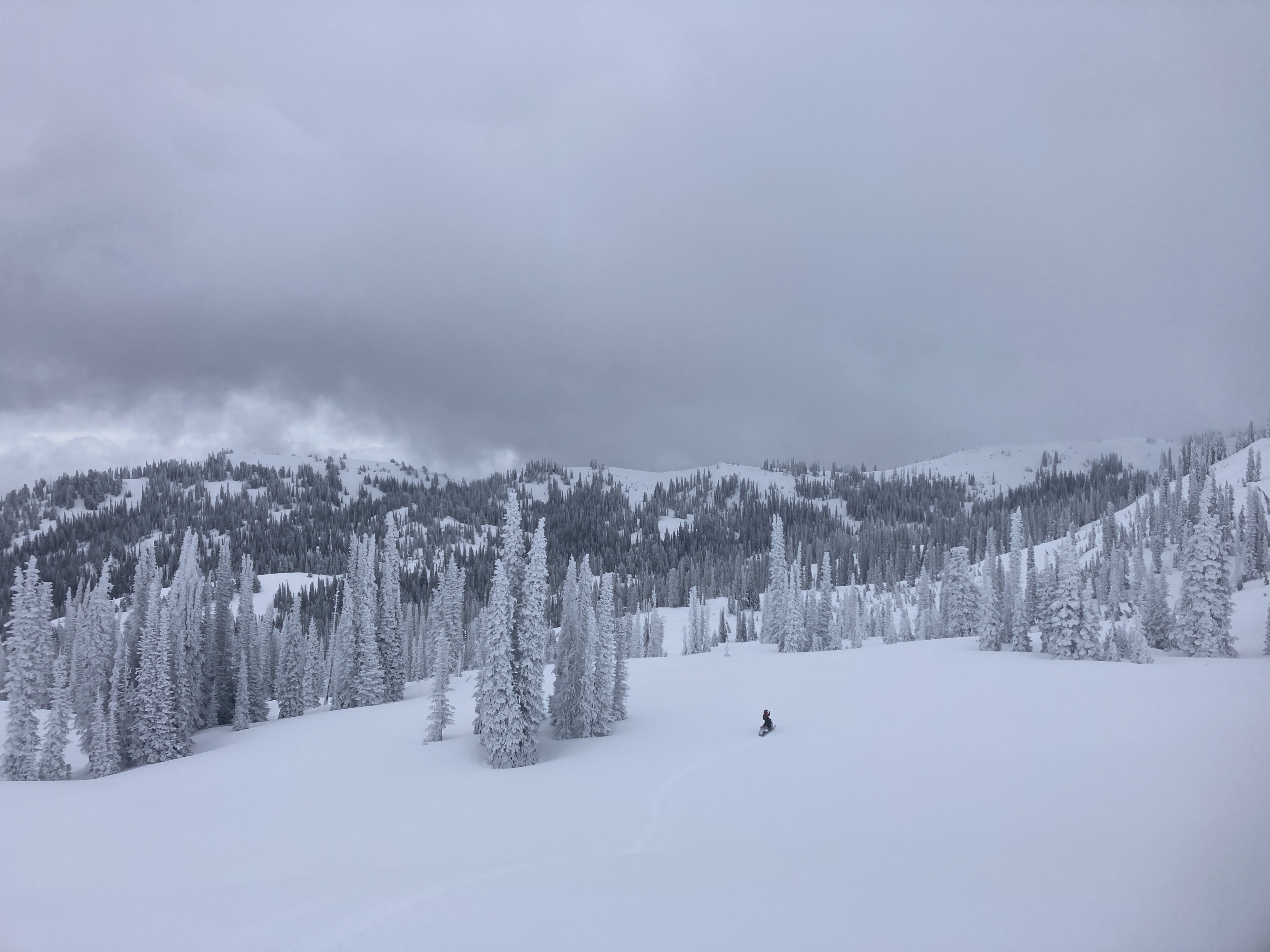
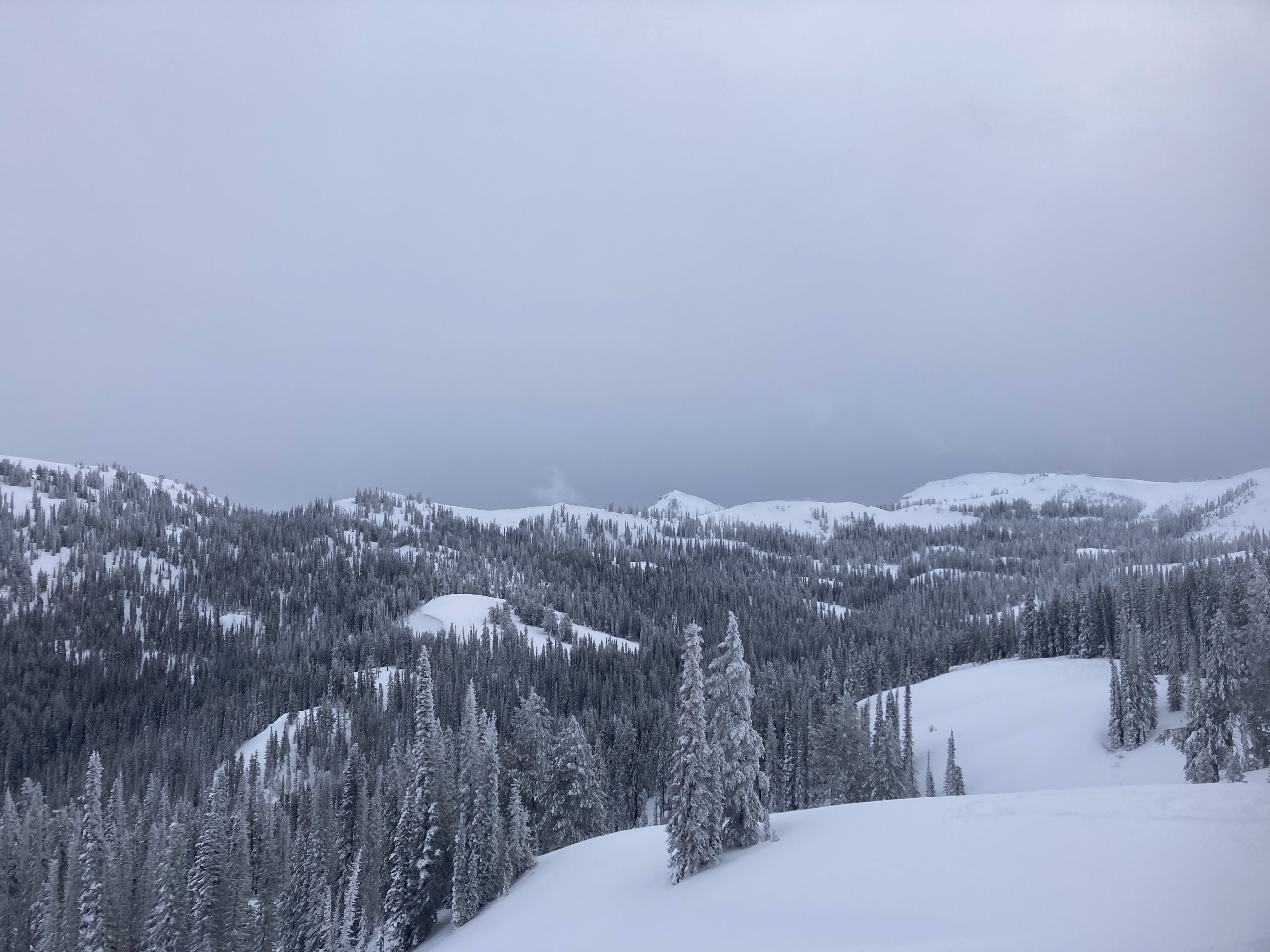
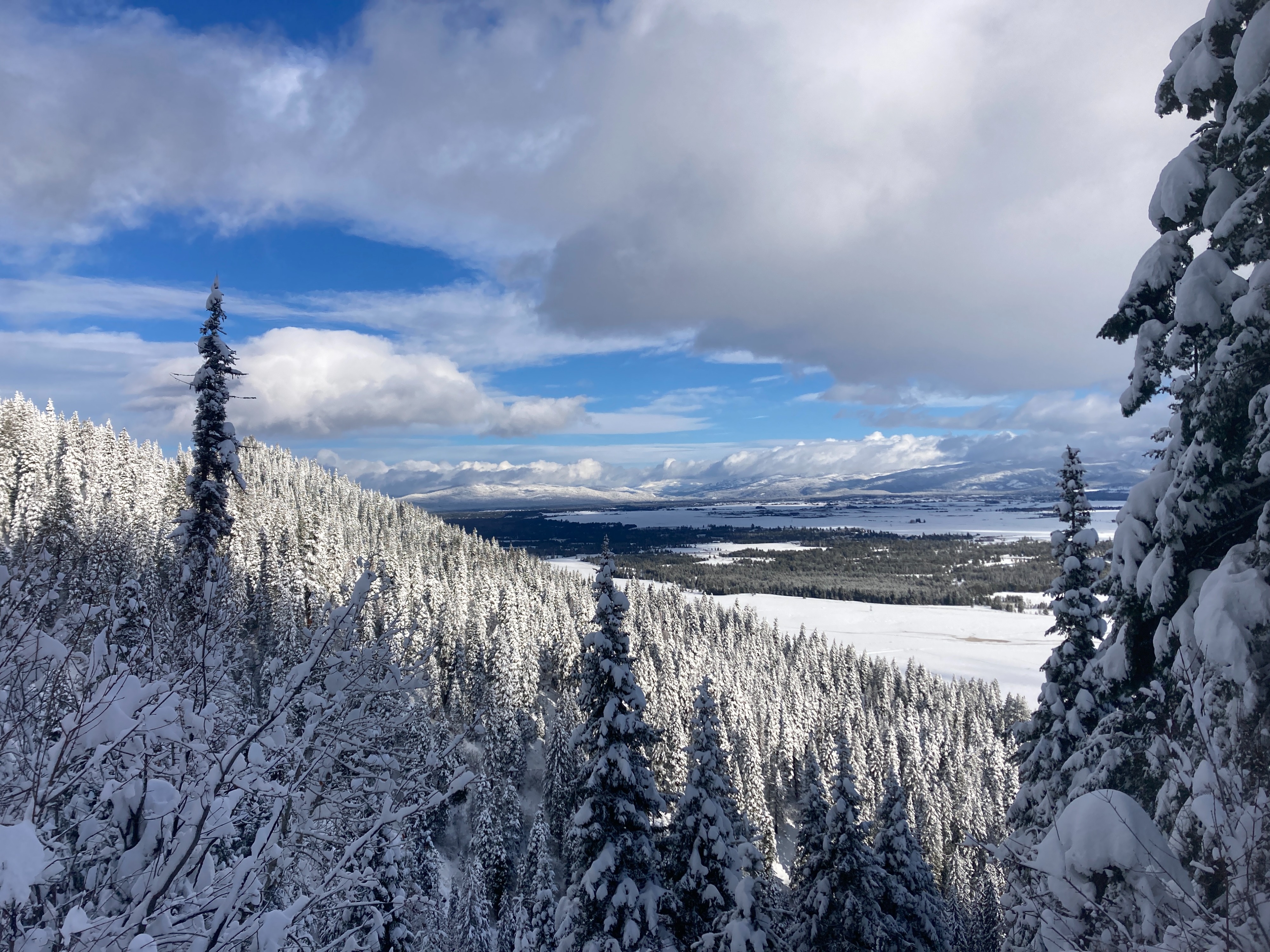
Skies were broken over the Long Valley around 1000. Skies were obscured over the higher terrain for most of the day. Slight clearing trend during the PM. No new precipitation throughout the day. W/SW winds were blowing and drifting snow above 7500 ft.
Snowpack
Lower elevation - below 6500 ft., there was a height of snow ranging from 2.5-5 feet. Upwards of two feet of new in the previous 5-7 days. The lower snowpack is still very saturated from recent warm temperatures and rain.
Middle elevation - between 6500-7500 ft., HS ranges from 4-8 feet. 2-3 feet of new snow in previous 7 days. The upper snowpack is somewhat rightside-up, with a two layers of concern. One being graupel (8-10" down), the other being a density change sometime in the past 3-5 days, 2 feet down . Graupel showed ECTN 12, while density change produced mixed results in extended column tests (ECTP 18 & ECTN 16, propagating >50% across column). No signs of cracking or collapsing of weak layers on steep, test slopes.
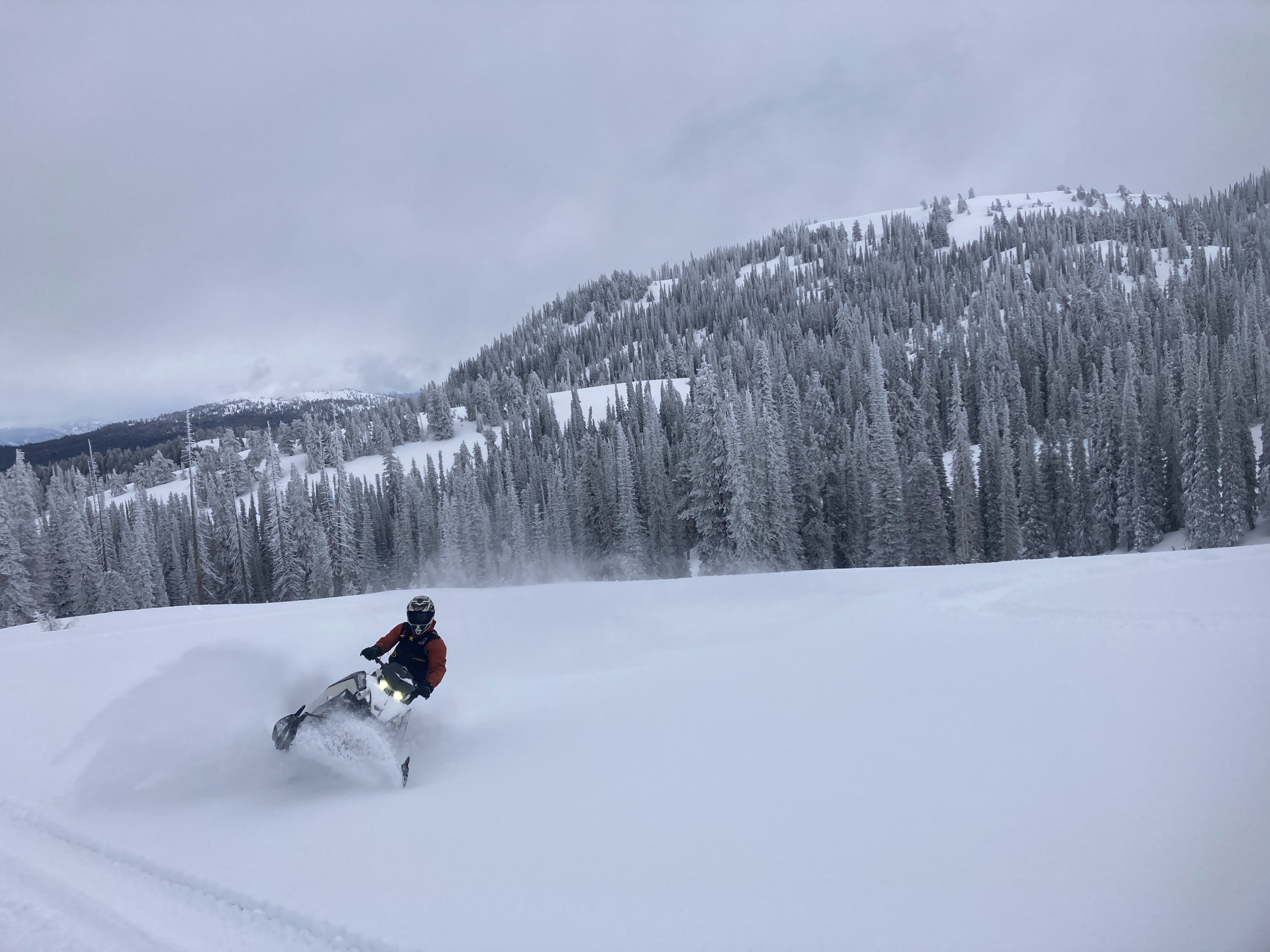
Upper elevation - above 7500 ft., we observed several wind slab avalanches on the leeward side of steep ridgelines. All were on east-facing terrain, just below cornices & ridgelines. These likely occurred sometime in the past 24 hours. Winds will continue to reload slopes with moderate amounts of snow available for transport.
Avalanche
- Size
- D2 R2
- Type
- SS
- Count
- 2
- Aspect
- E
- Trigger
- NC
- Elevation
- 7600 ft
We observed several small to large wind slab avalanches. These likely occurred sometime late yesterday (Tuesday, 6th). All avalanches observed were above 7500', on east-facing slopes, just beneath cornices/ridgelines. They looked to be 2-3 feet deep.