
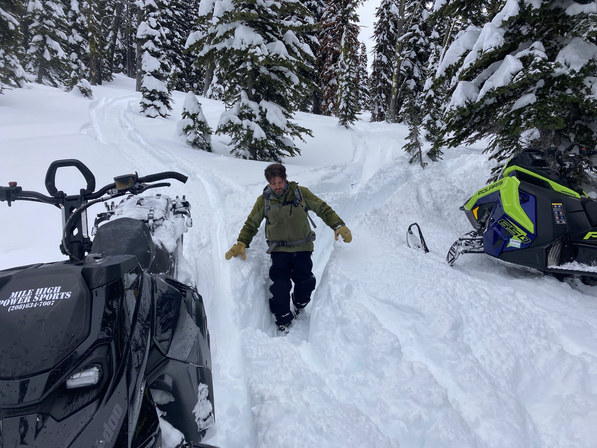
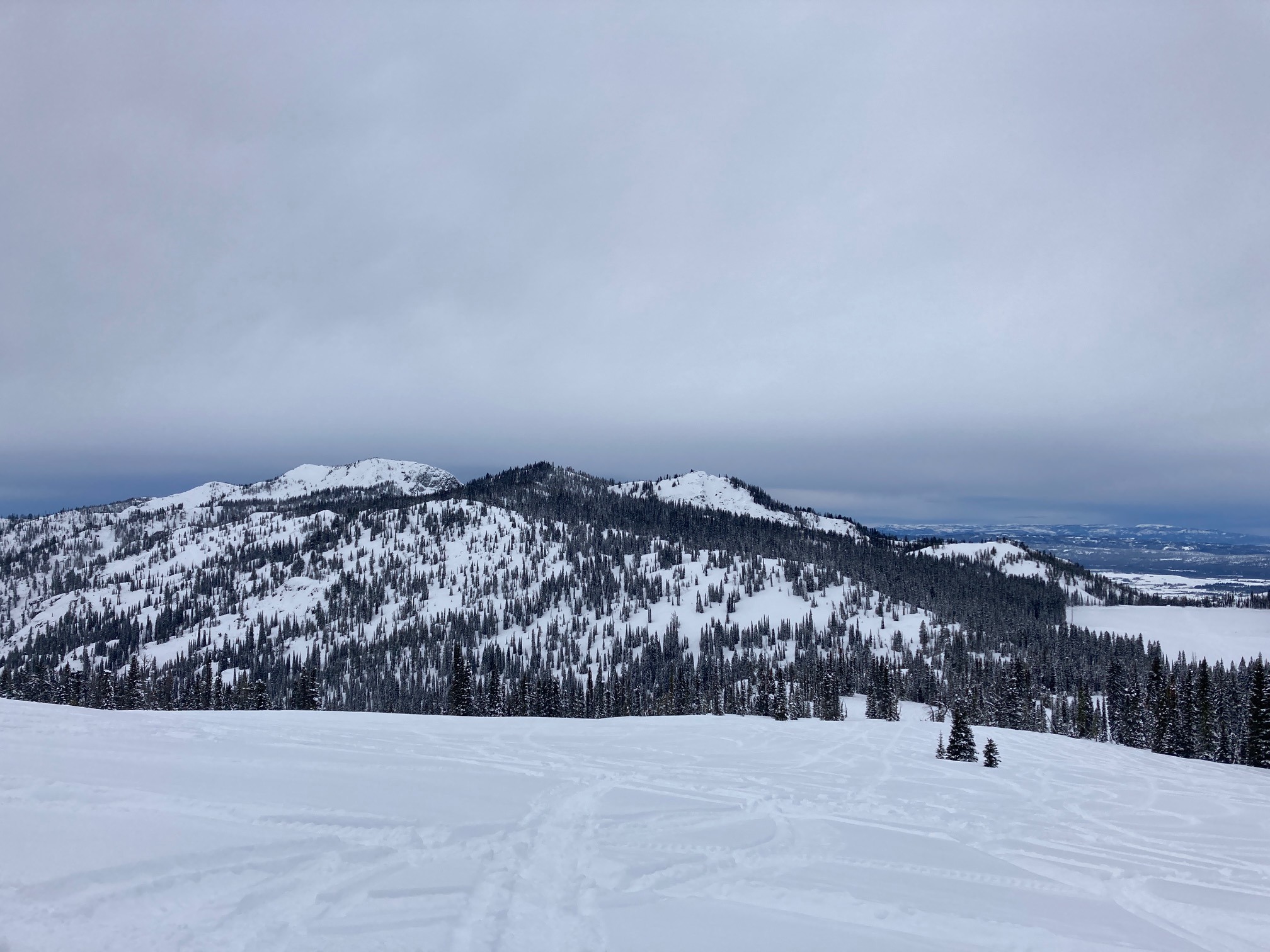
Quick report
Lots of traffic out in the mountains this past weekend. Last Thursday's storm snow has become more dense and track penetration was down into older February snow. In tracking the trend of stability within the upper snowpack, we haven't observed any PWLs with the upper snowpack. We haven't observed any propagation in any snowpits in over a week. Recent storm snow has become a bit more slab-like, but hasn't shown the potential to propagate.
No signs of instability noted in this area today.Weather
- Cloud Cover
- overcast
- Wind Loading
- light
- Recent Snowfall
- No new in previous 48 hours
- Snow Avail For Transport
- moderate amounts
Unseasonably mild day in the mountains. Above average temperatures and high clouds for most of the day. Winds began increasing ahead of a small storm system that was moving up the Long Valley. Winds appeared to be out of the S/SE. Minimal amount of wind loading observed.
Snowpack
We dug two pits today. One was on an E aspect around 7600', HS 150 cm (5 ft.). ECTN 12, 35-40 cm down at new/old interface from last Thursday's storm. Second pit was on a W aspect at 7500', HS 180 cm (6 ft.). ECTN 13, 40 cm down at new/old interface. ECTN 17, 55 cm down in older February snow. No propagation and no PWLs noted in either pit.