
Quick report
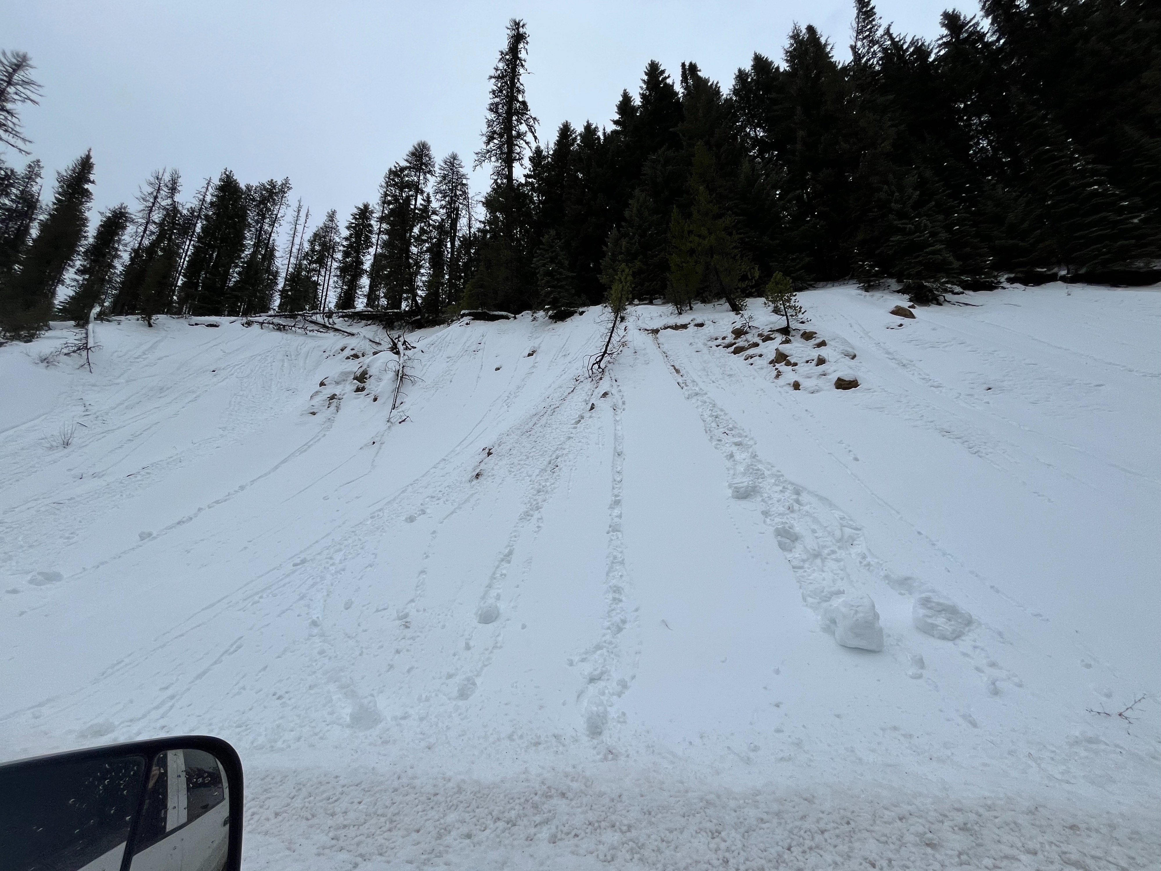
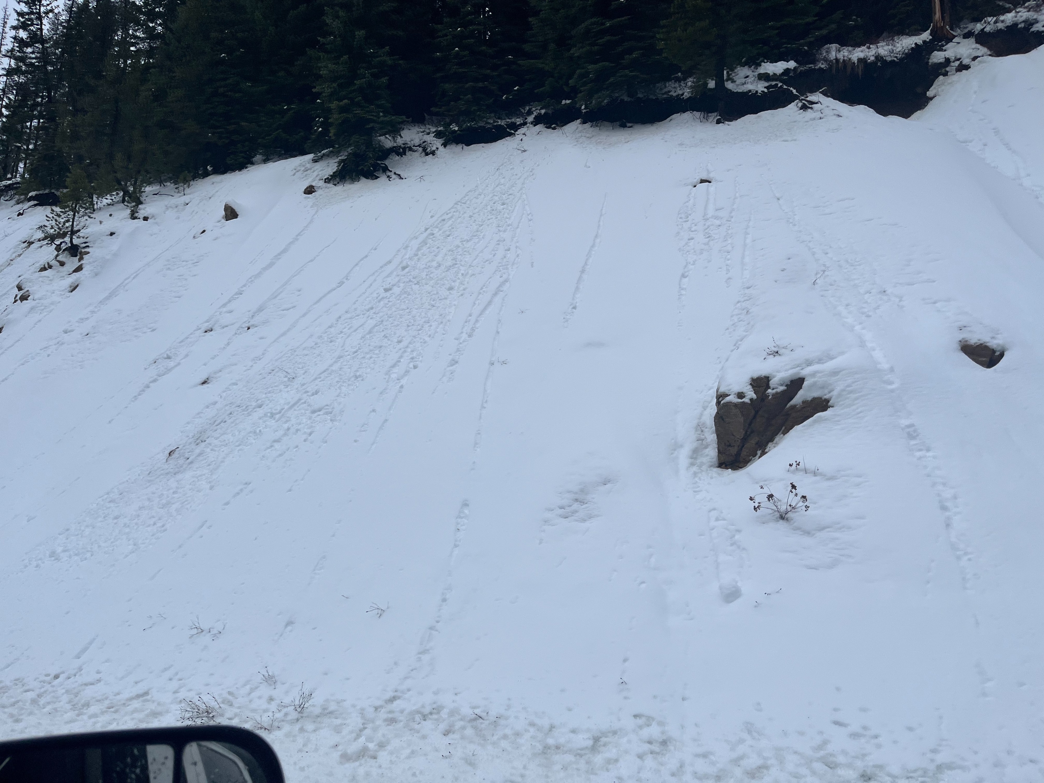
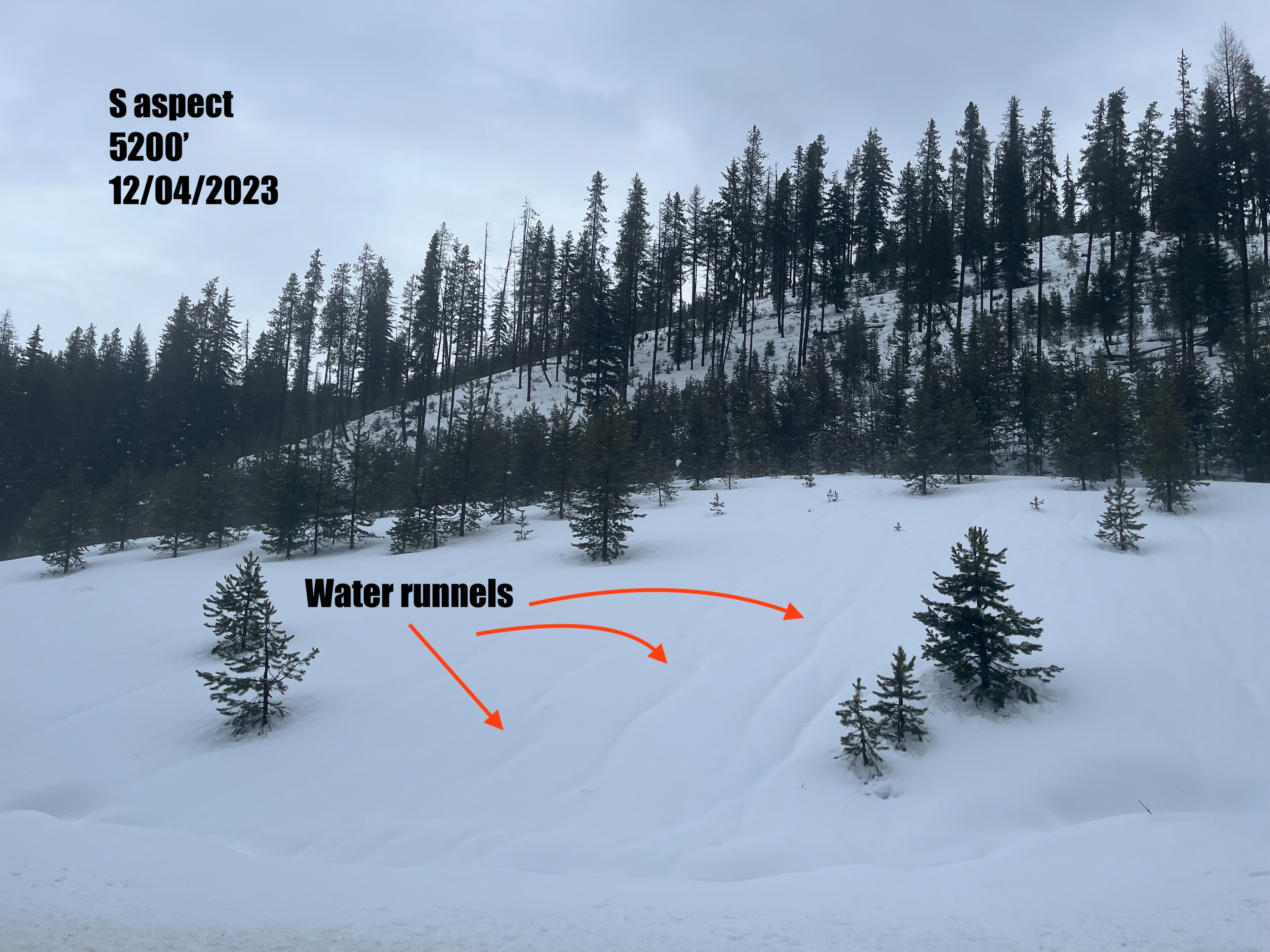
Early season conditions still exist. The overall depth of the snowpack is very shallow. A slab exists and we observed many indications of instability: rain on snow, warm temperatures, rollerballs and large pinwheels, runnels of water within the snowpack, and propagation in our snowpit test. Keep this in mind as conditions change throughout the week.
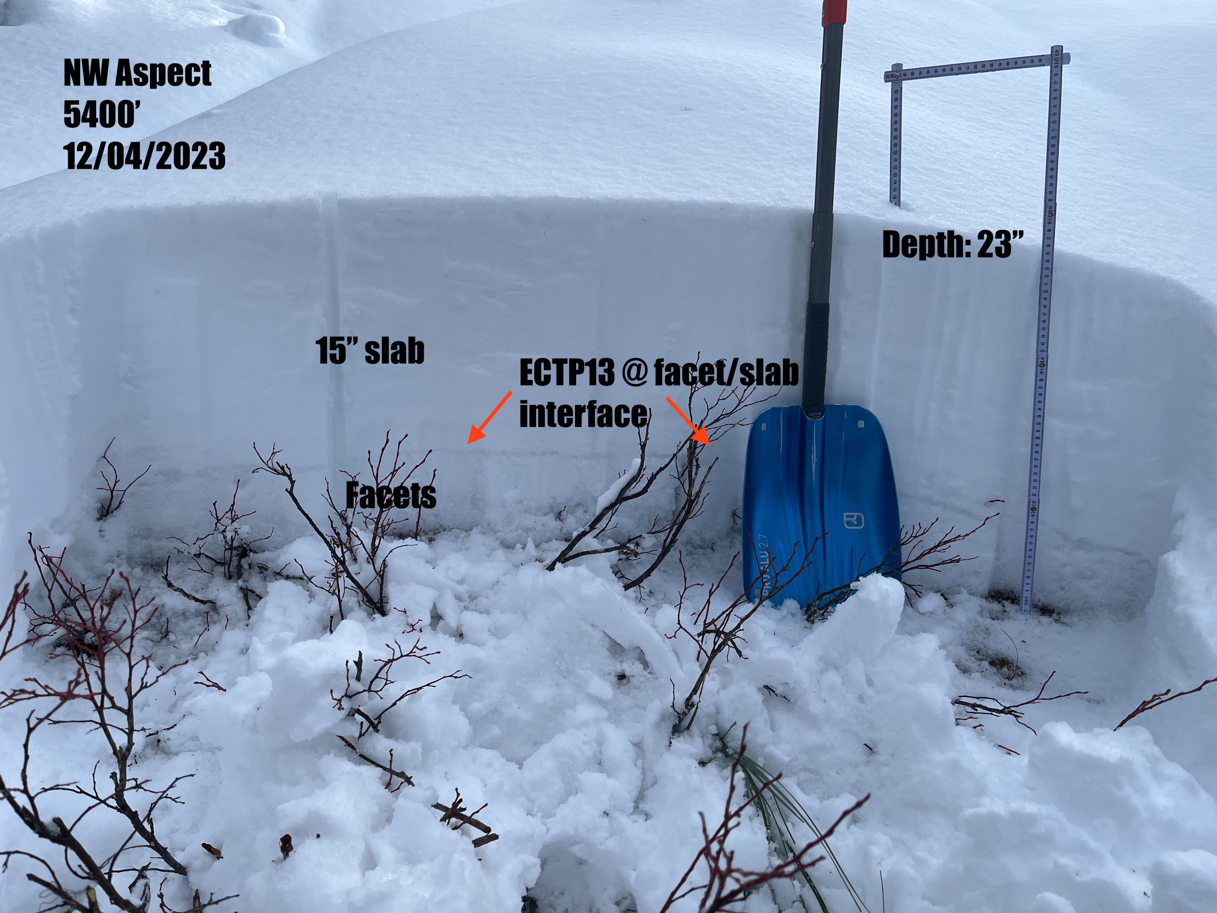
We performed an extended column test that resulted in moderate propagation indicating the presence of a slab sitting on top of weak, faceted layers at the ground. We also observed many indicates of warming snow: active snow melt, numerous and often large roller balls and pinwheels on both north and south facing aspects, and runnels of water in the snow on many aspects.Weather
- Air Temp
- 32
- Cloud Cover
- few
- Wind Loading
- none
- Recent Snowfall
- 40
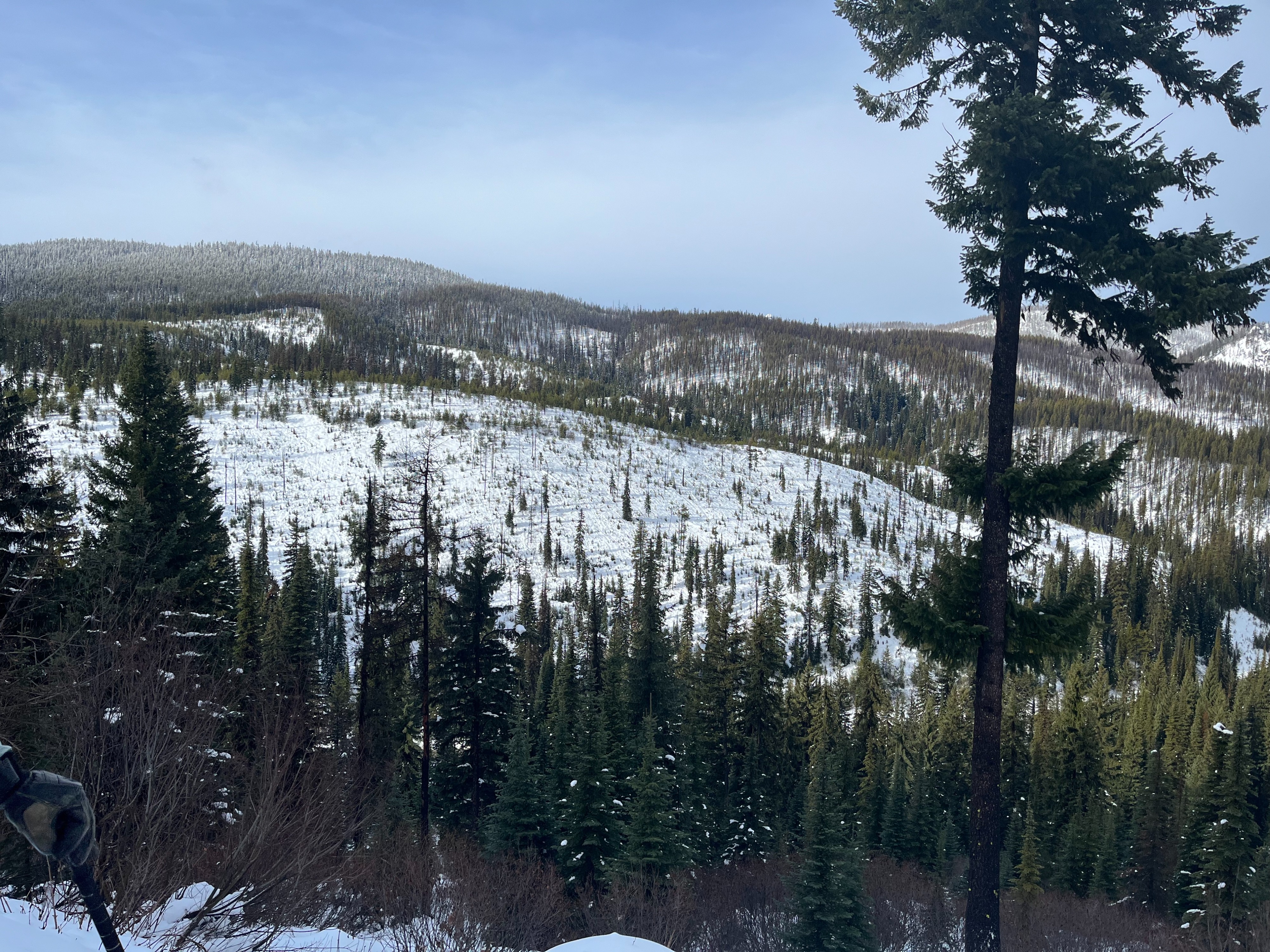
It had rained earlier in the morning. During our tour, we had mild weather: few clouds and light wind from the west. Increasing cloud cover as we exited the field.
Snowpack
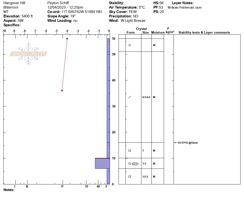
Average snow depths were 15-23 inches (40-60cm). We dug a pit around 5400' on a NW aspect with a snow depth of 22 inches (56cm). In this pit, we found a top layer of wet snow and moist snow below to the ground. A layer of approximately 15 inches (40cm) of new snow sits on top of facets at the ground. Within the facets is an old melt-freeze crust that is faceting. We performed an ECT that resulted in moderate propagation and failed on top of the old faceting melt-freeze crust.