
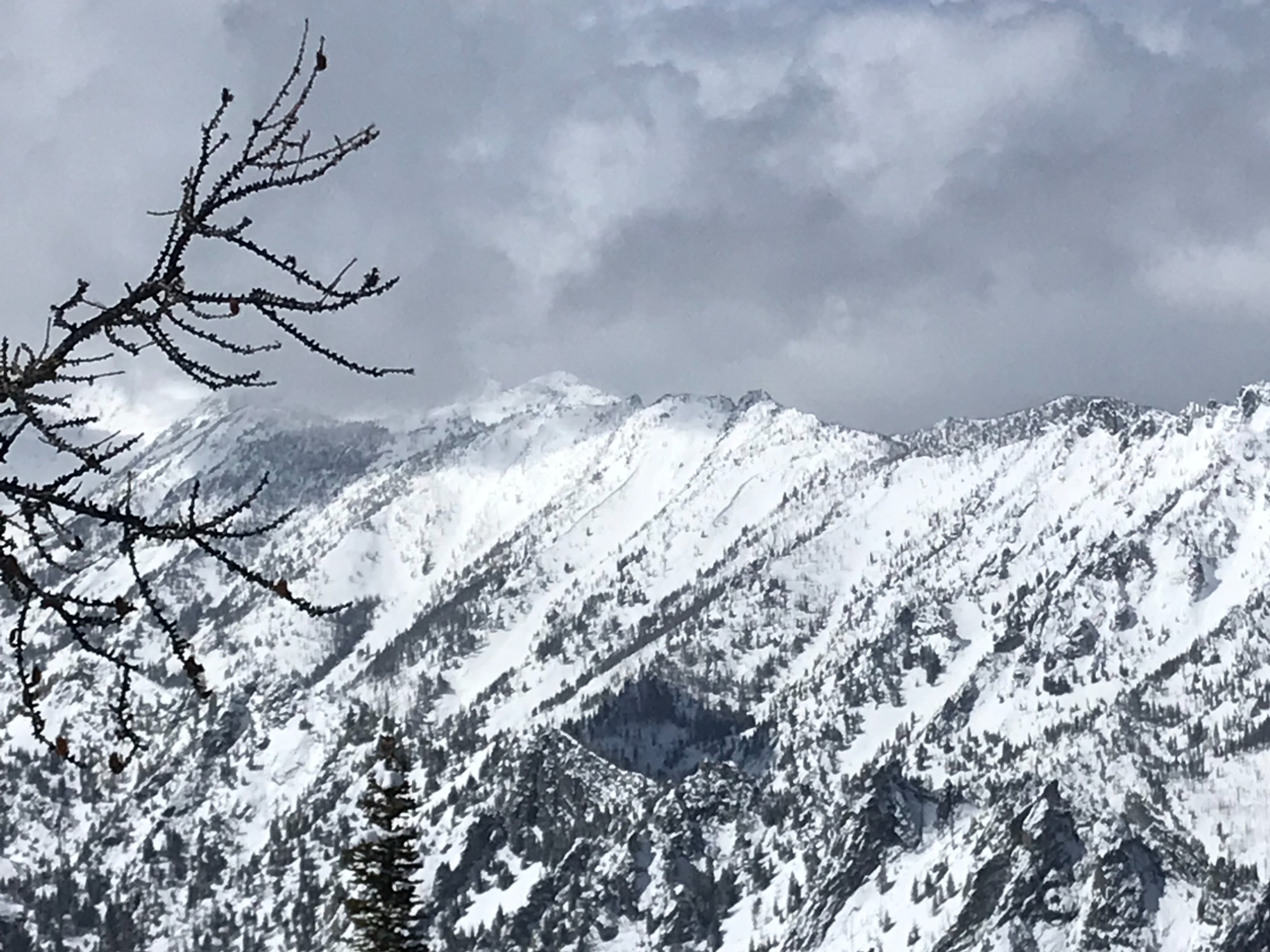
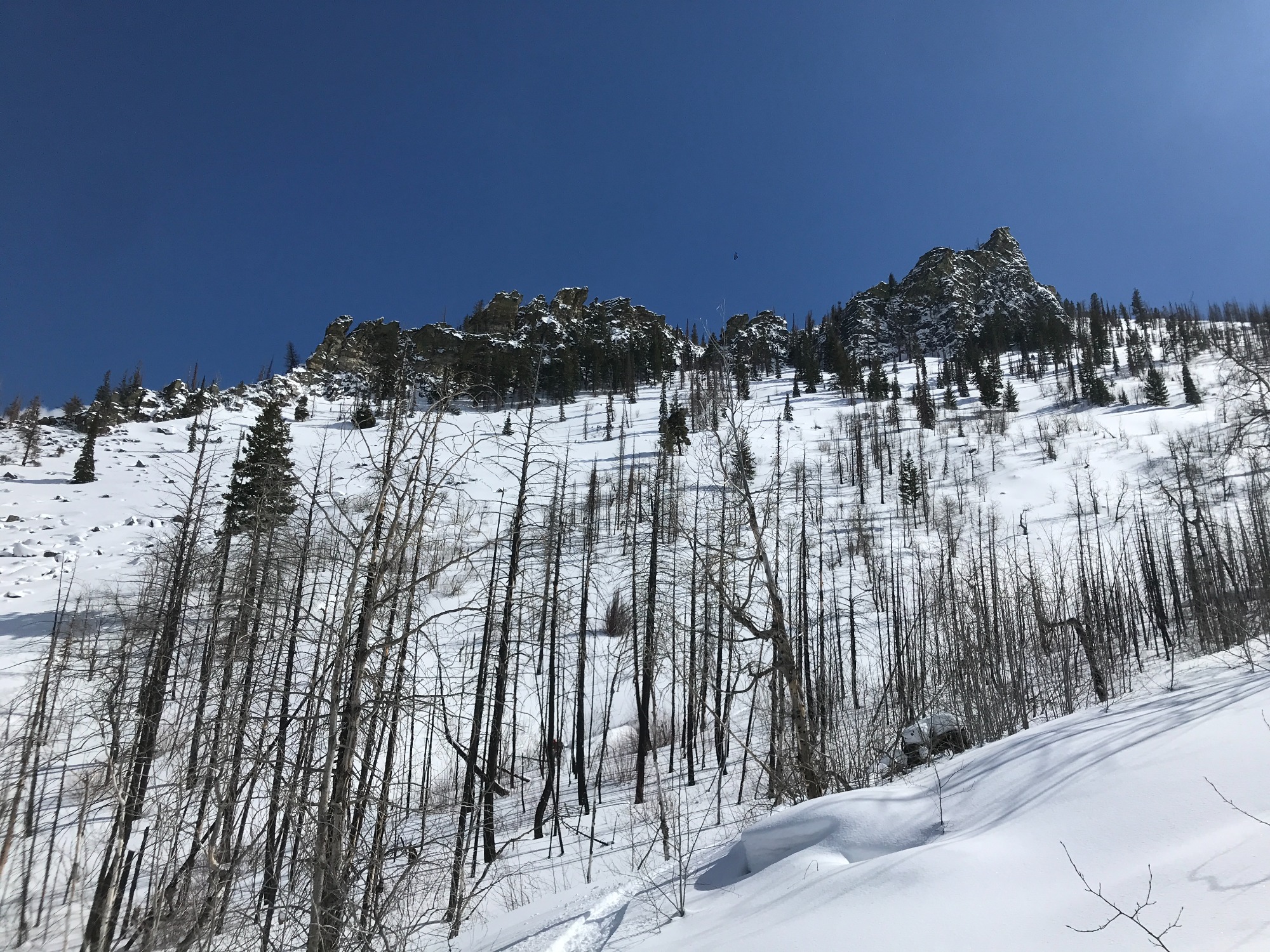
Quick report
Observed good stability throughout the tour. No signs of cracking of collapsing. Some signs of previous wind loading on east aspects. Also observed cross loading of south aspects in the Sawtooth drainage. Deep loose snow on north aspects but didn’t experience any sluffing while skiing. Coverage is excellent for April.
Weather
- Air Temp
- 20-25 (-7C to -4C)
- Cloud Cover
- broken
- Wind Loading
- previous
- Rain Elevation
- Not observed.
- Recent Snowfall
- 10" (25CM)
- Snow Avail For Transport
- none
Throughout the day there was a mix of sun, clouds and brief but intense snow squalls. Approximately 1" of new snow throughout the day. Cloud cover kept the temperatures in the low 20's in the higher terrain but warmed to above near freezing 34F (1C) in the lower elevations by mid-afternoon. There was a light steady wind from the west <5MPH most of the day.
Snowpack
About 6-10" (15-25CM) of new snow this week above 6000' in elevation. Below 6000' there was 4-6" (10-15CM) of new snow. Didn't find evidence of a buried crust below the new snow on north aspects. Terrain/aspects other than shaded N/NE aspects had denser surface powder from solar heating. At 7800' on a N aspect (30 Degrees), the total snow depth was 185cm. Stability tests didn't produce any propagation however, there are two layers of interest. There is an old, 1F wind slab approximately 2" (5CM) thick located 40cm down that is the bed surface for the new snow over the last 2 weeks. The 6" (15CM) of snow immediately above this interface is consolidating (4F) and could produce a slab if triggered. CT24@ 40CM (RP), ECTN 27 @ 40CM. There also is approximately 70-100cm of large, rounded facets developing at the bottom of the snowpack in this area. This layer lacks density (4F) and a compression test did produce a deep failure. CT 27 @ 100cm (BRK).