
Quick report
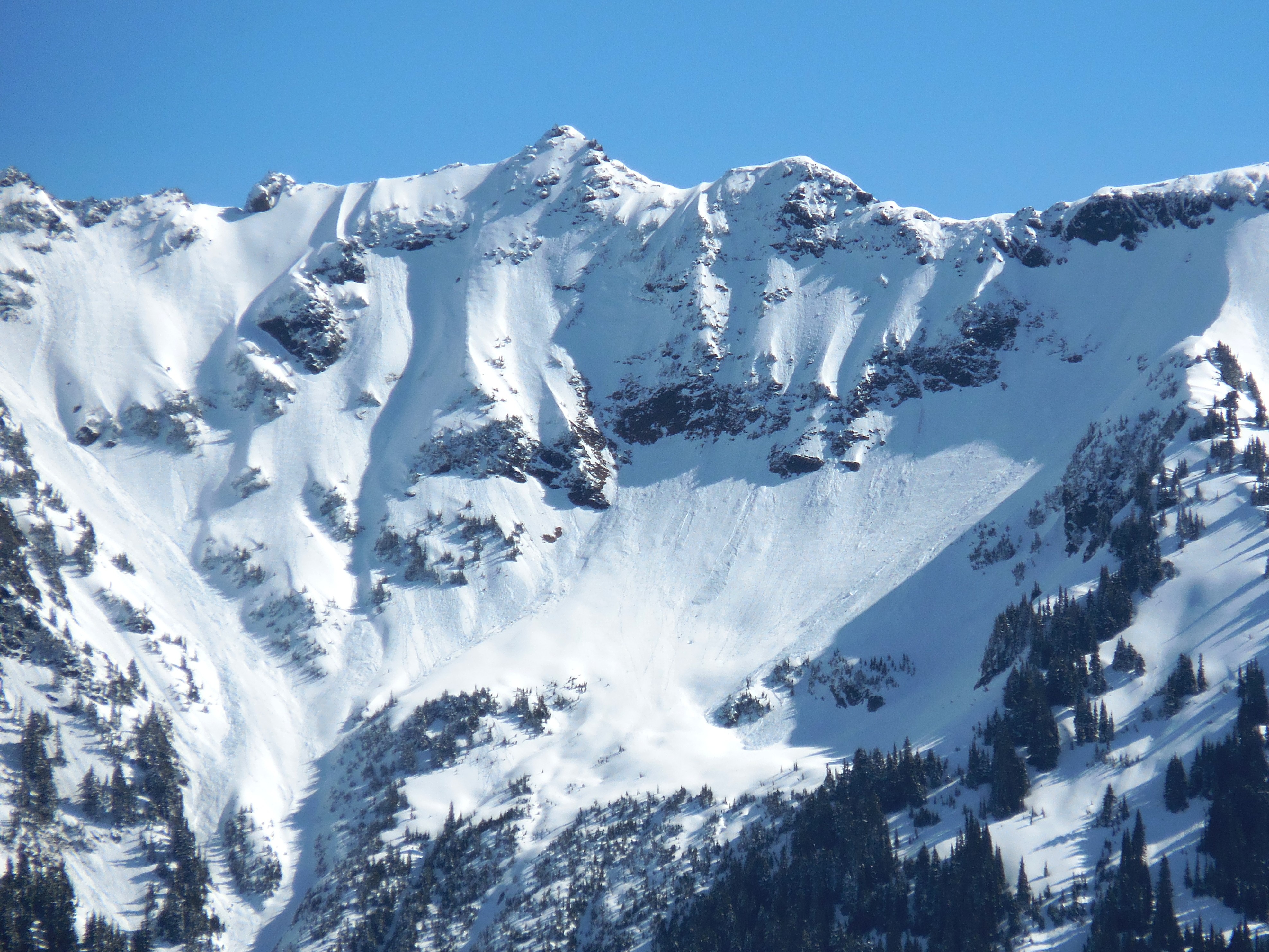
Nice spring day. South winds were keeping ridgelines a bit cooler in the morning, but any sun-exposed slope out of the wind quickly softened. Mid elevations may have gone through the first cycle of natural wet loose, with minimal snow left in trees and rocks to shed to get things moving on the slopes below. It felt like you could definitely get wet snow moving on steep slopes, so maybe more of a human-triggered problem in the morning than natural. Upper elevations generally had fewer avalanches, with snow still clinging to rocks and trees.
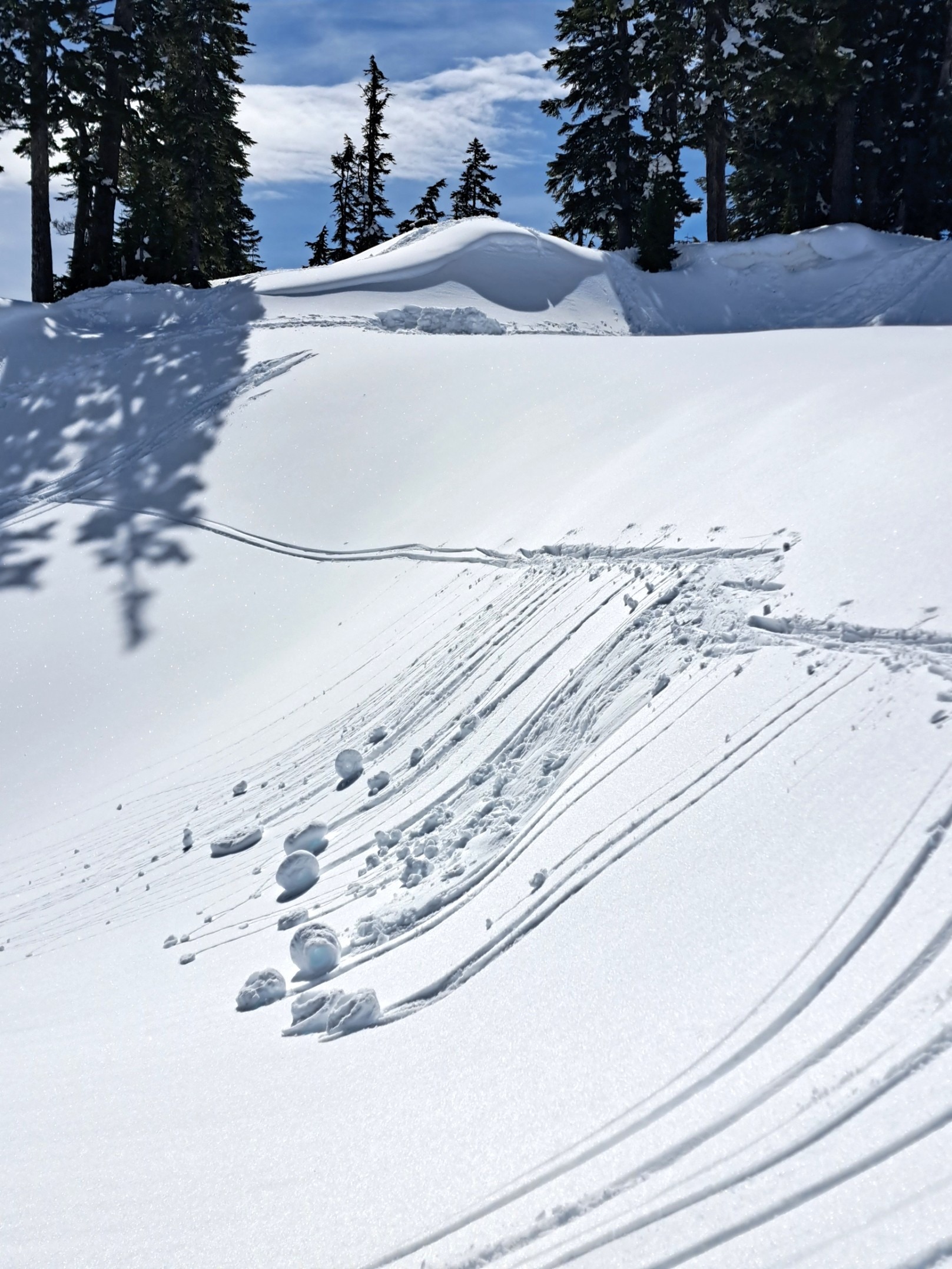
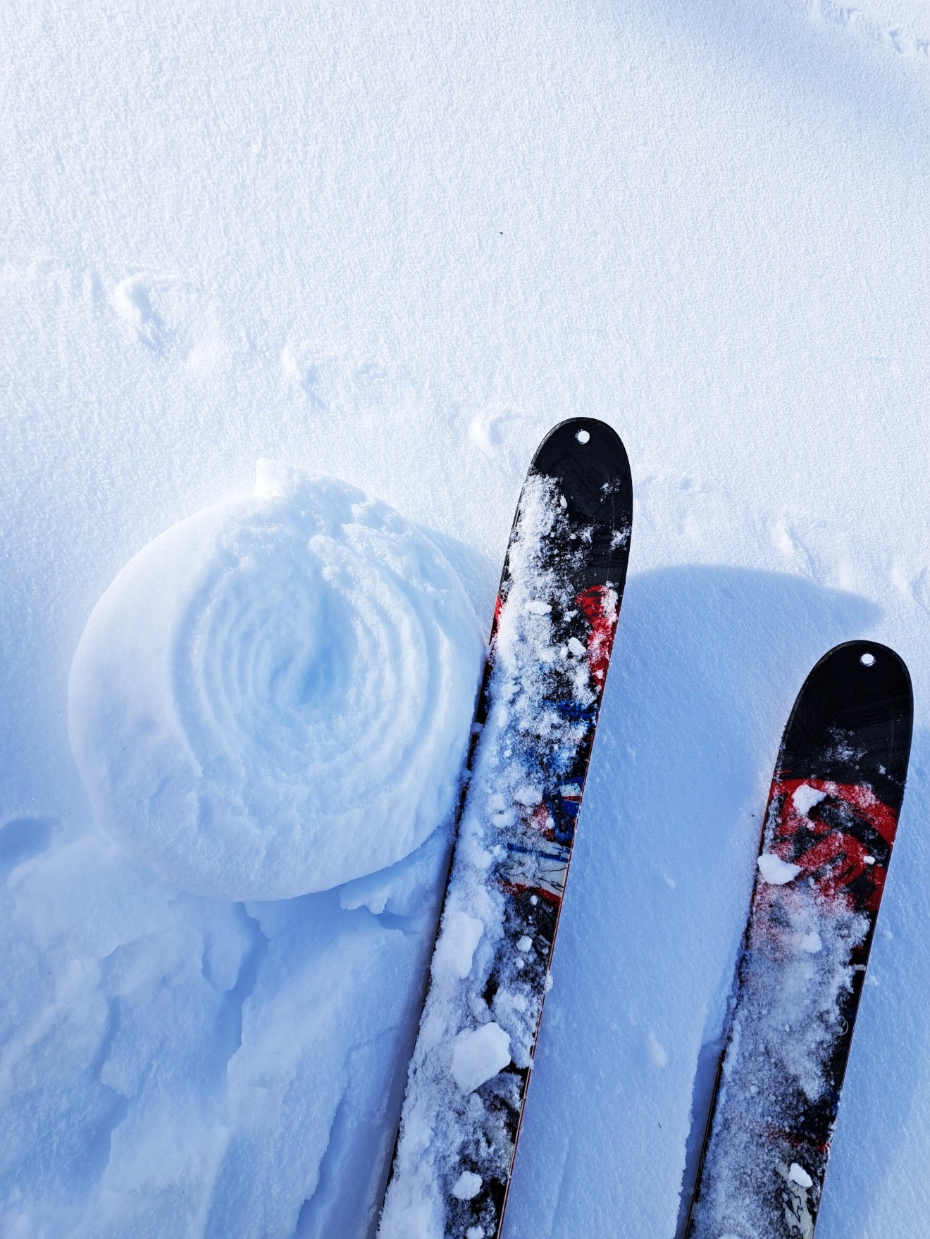
Numerous wet avalanches and rollerballs on all aspects up to 5500 feet. Small, sun-warmed test slopes produced large pinwheels and sliding wet snow with minimal prodding. No active rollerballs, etc observerd up to noon.Weather
- Cloud Cover
- few
- Wind Loading
- none
- Snow Avail For Transport
- none
Sunny with a few high clouds. South winds were keeping ridgelines cooler through the morning.
Snowpack
Ski supportable surface crust in the morning , quickly breaking down at mid elevations with sun exposure. 25cm of 4F > 1F new snow from April 13-16th over a 4cm pencil-hard crust. Main difference between solars and polars was a bit less snow over 4/13 crust on solars and also a second sun crust just below the surface crust; the result of sun and warming on the morning of the 15th. No significant results with testing as expected. Hard, non-planar shears in 1F melt forms below 4/13 crust. Wind-affected snow surfaces visible in alpine terrain.
Avalanche
- Size
- D1.5
- Type
- WL
- Aspect
- S
- Trigger
- N
- Elevation
- 5000 ft
Wet avalanches on all aspects up to 5500 feet, with some on southerly slopes above that elevation. Most were D1.5 or less, but a handful of D2's out there as well.