
Quick report
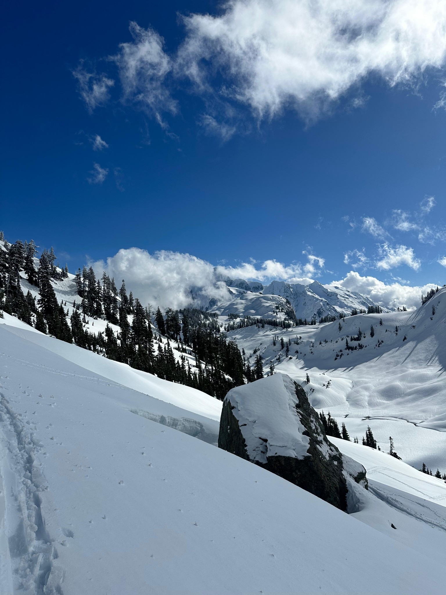
Snain at 8AM at Heather Meadows, shifting colder, lighter, and windier. Sun popped out by 11 AM. The second half of the day was defined by few clouds and moderate-strong winds (very strong winds at Herman Saddle proper, swirling in tornados and multiple directions before reaching the saddle, where wind ripped consistently from Iceberg Lakes to Bagley Basin). Re clouds, we seemed to be in a bubble. They were sticking to peaks all around us, including Skuksan and Goat (see photo of Shuksan). Temps steadily dropped throughout the day. Below 5k', snow was largely defined by a breakable crust. On some aspects, this was a rime crust. By the afternoon, the crust on south aspects was warming and made for reasonable turns, but we saw no pinwheels or roller balls from today's warming. Above 5k', snow was defined by wind interacting with the overnight dry snow. It was mostly bonding to the melt forms 10-30cm below, but one hand pit (of a half dozen or so) easily sheared at this dry-wet interface at about 30cm. Strong winds near the saddle created a stiff wind crust that made for catchy, grabby skiing conditions. Isolated test slopes were able to slide over the wet-dry interface, but were far from touchy. The most concerning observation was the isolated rime crust below 5k'. This is a slick surface that could become problematic if snow falls on it with no rise in temperature.
Avalanche
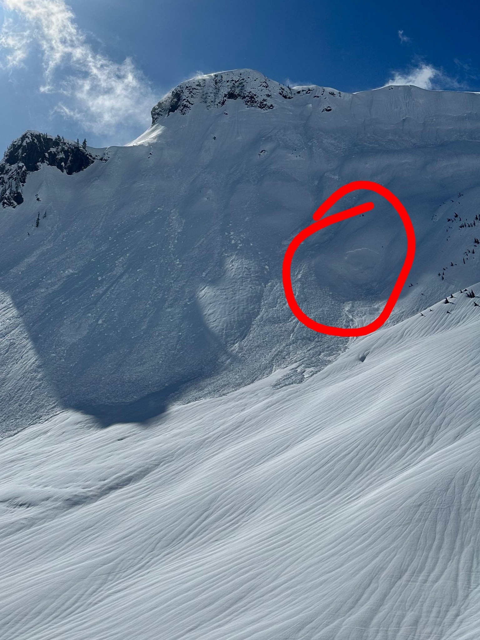
We saw two recent slab avalanches. One was a D1 in Bagley Lakes below table mountain (see photo). Another was a large avalanche (D3?) above the Upper Curtis Glacier (about 48.82103, -121.61757). We guessed they were from the recent wind and snow Saturday night into Sunday. We observed the aftermath of cornice fall in Blueberry Chutes, but it didn't trigger any slab avalanche.