
Quick report
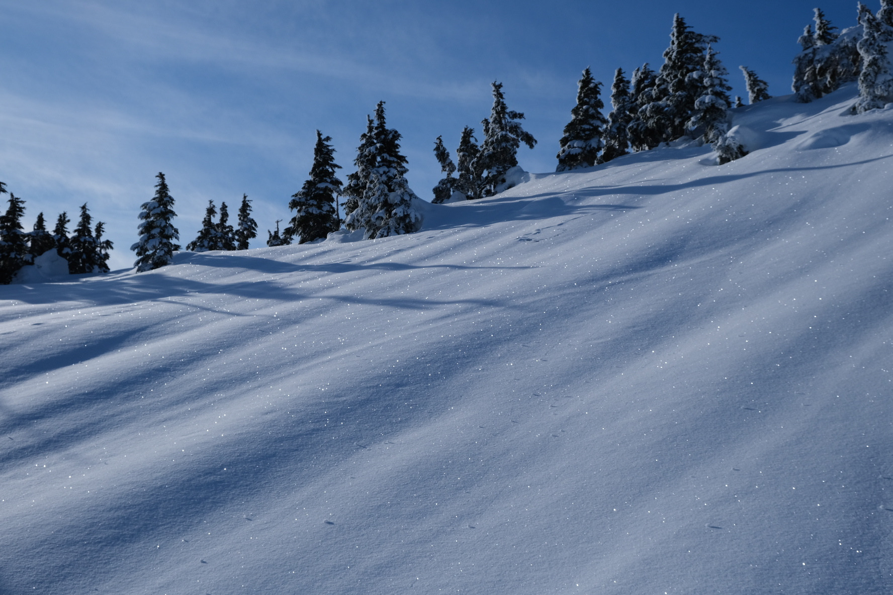
Surface conditions were firm with a thin crust that capped a few inches of snow from this past weekend. This was all over a widespread hard re-frozen crust from the Jan 27-28th rain and warming event. Surface hoar was growing in protected areas. Fixed the snow sensor on the weather station and probed a total height of snow at 245cm which is 8ft.
Weather
- Air Temp
- 23
- Cloud Cover
- clear
Clear skies with building high-level clouds later in the day. Calm.
Snowpack
- Dug a quick pit at 2,800' on an E-aspect.
- The total snow depth was 290cm.
- A thin surface crust capped 5cm of new snow from last weekend.
- Then the 27-29th layer of 35cm pencil hard melt-freeze crust -- This is the strong widespread crust.
- Below that was an easy-to-see rain crust/facet combo interface over a 20cm layer of 1-finger 1-2mm facets.
- This was over another 35cm+ hard melt-freeze crust with moist snow below that.
- Strong temperature gradients appear to be at work between the two thick melt-freeze crusts.