
Quick report
Low density, blower new snow was behaving well again today. New snow lacked a slab across the majority of terrain exposed to light wind. Sheltered terrain could have been more impacted by slight increase in temperature creating storm slabs. No collapsing above the January drought layer. Stronger wind above 10,000' where wind drifted snow was over 2 feet deep on leeward aspects. No shooting cracks where I traveled on wind loaded pockets, but soft slabs were starting to from and stiffen around 12:00. Keep an eye on winds to see if this changes. Plenty of snow available for transport.
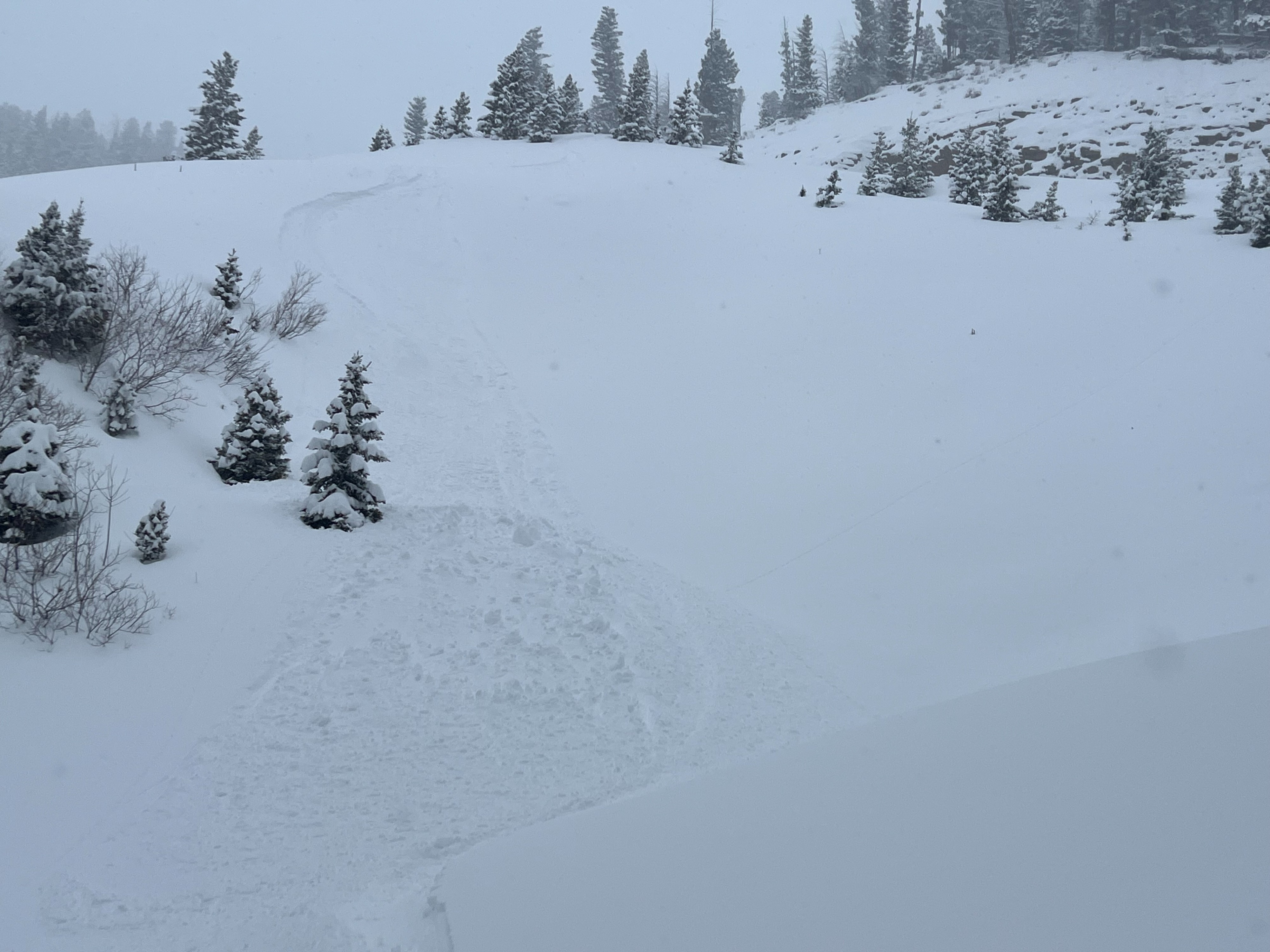
Slough or dry loose was running on steep slopes, esecially north facing terrain which gained more momentum above the weak facets. Strong, consistent snowfall (S1-S2) accumulated to 9" of new snow and 0.7" of SWE reported at MP12 Snotel from 05:00-18:00.
Friendly reminder that south facing slopes in middle elevation held very thin coverage before this storm. Watch for buried obstacles.
Snowpack
Similiar to yesterday with moderate hand shear tests only failing on 2-3" directly above the January drought layer.
Wind loaded areas were shearing easily on density changes within the new snow 4-5" deep.