

Quick report
- Cracking
- specific
- Collapsing
- specific
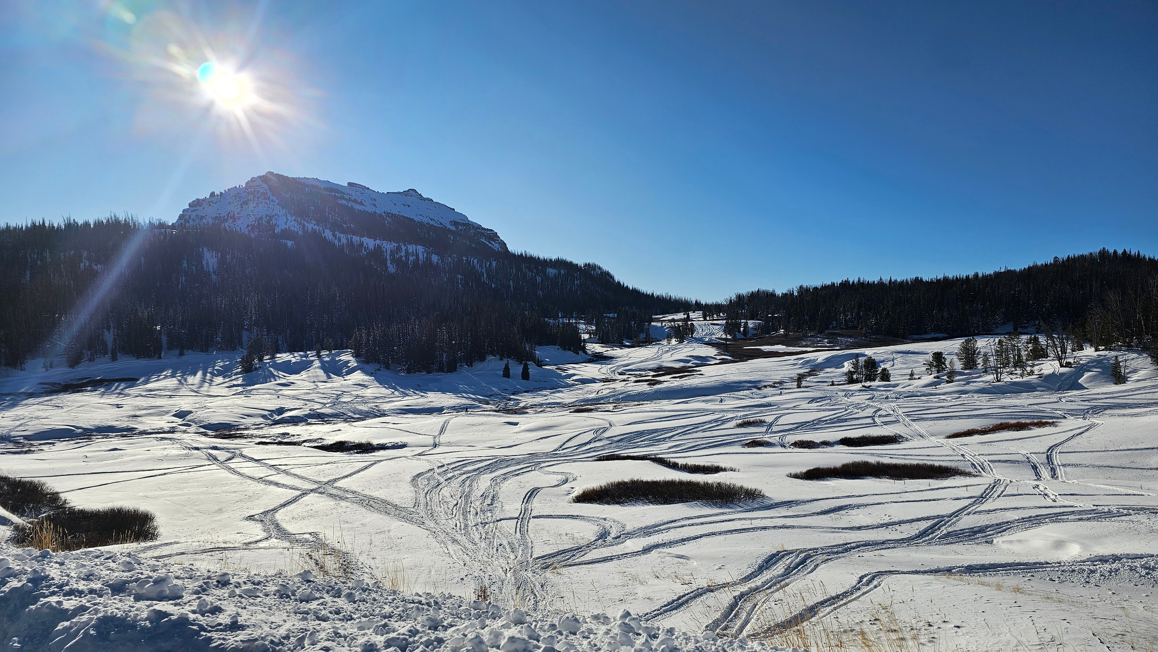
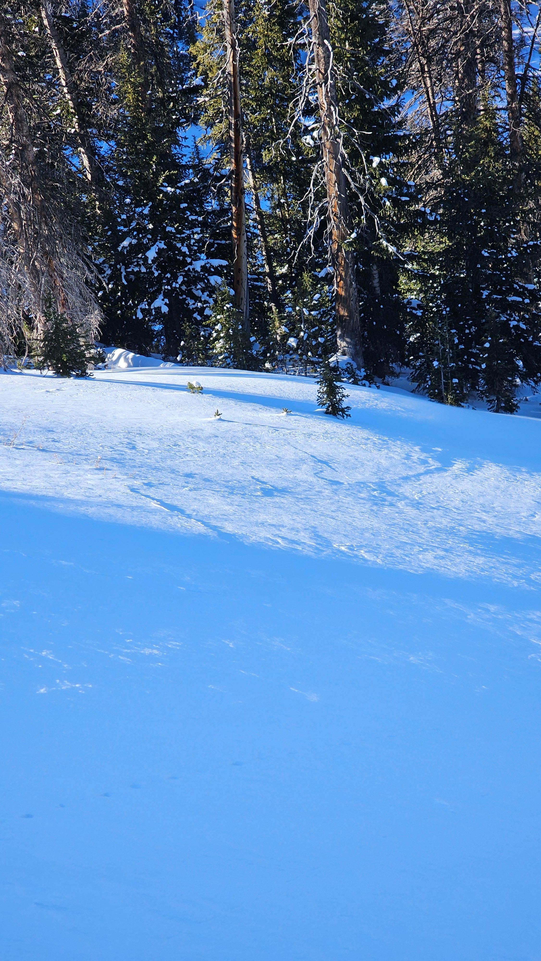
In the high alpine terrain, the short morning period of east/southeast winds actually left a bit of a mark, scouring some of the east faces and depositing snow on westerly slopes. The higher terrain has run the gamut of wind over the last week, leaving wind board, hard drifts, scoured areas, and generally unpleasant travel. Once you drop a little elevation into the protection of the trees, the snow surface is generally settled powder.
Travel conditions are fair, and it’s a good time to get out and see what the snow is like before more weather moves in. Based on the weak snow, cracking, and collapsing we observed today, avalanche hazard could become quite touchy once we start seeing more snow and more of a slab forming on these layers, but we will have to wait and see.
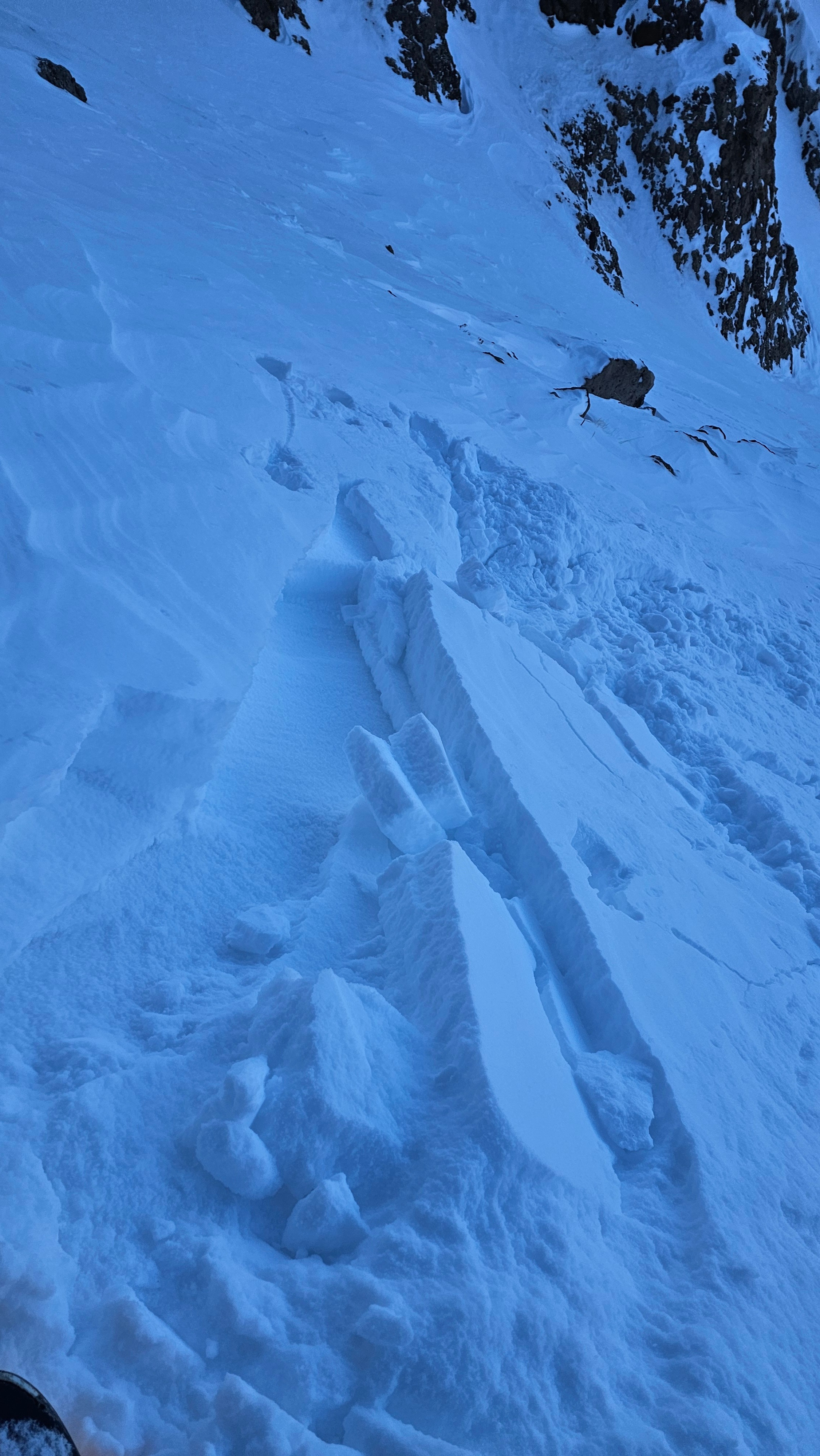
We caused a number of collapses with cracking. These were generally in thin areas near bushes and rocks. The cracks propagated up to 50' away from the trigger point, illustrating the connectivity of the weak layer that we may be dealing with down the road.Weather
- Air Temp
- 12
- Cloud Cover
- few
- Snow Avail For Transport
- moderate amounts
Cold day. Sky went from some high clouds to mostly clear. Winds were light from the E and SE in our location.
Snowpack
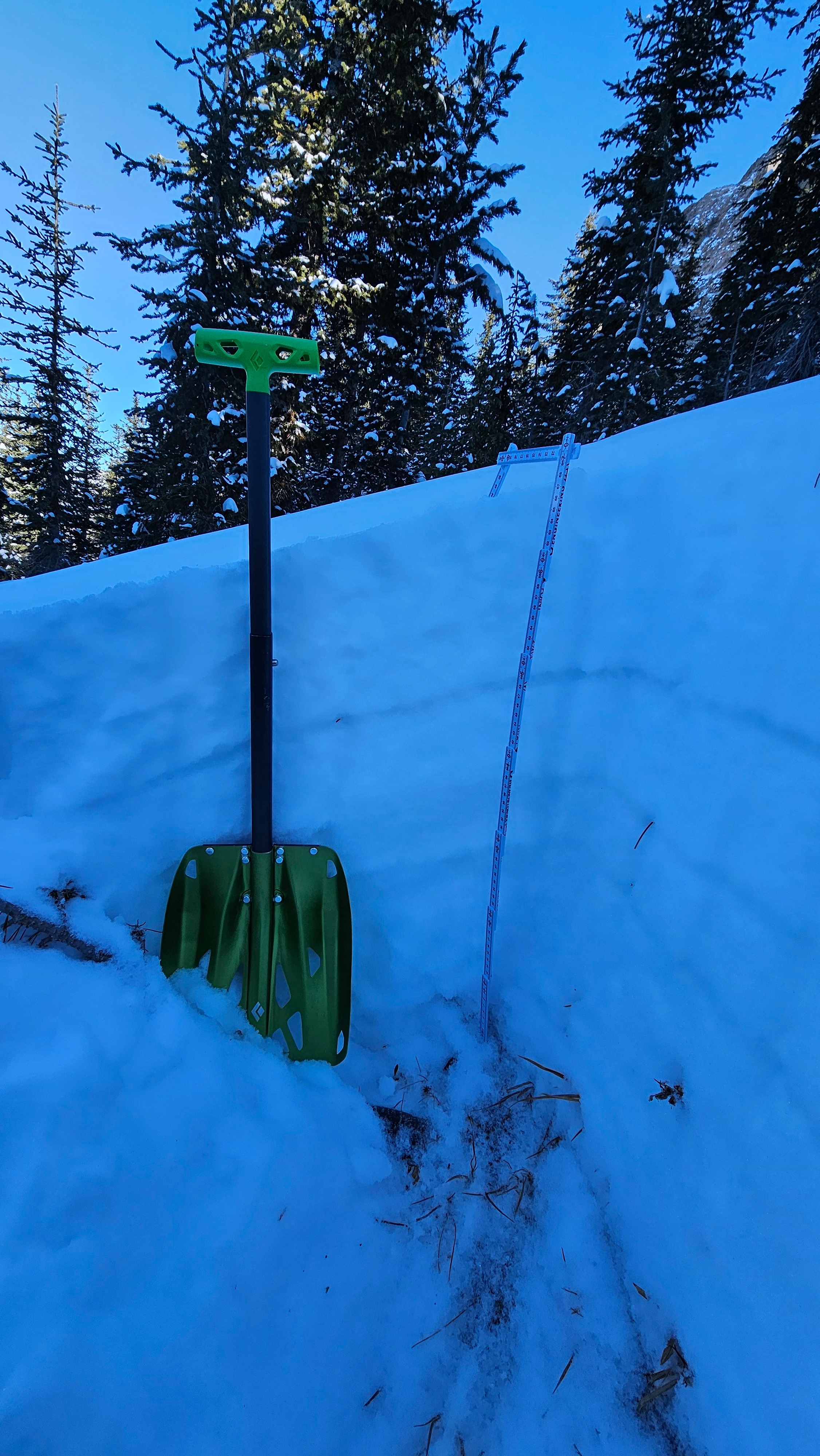
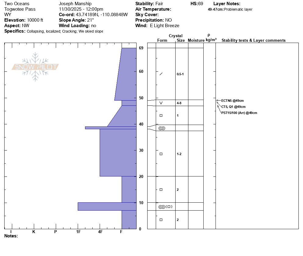
We found snow heights ranging from 20–30" while traveling in terrain from 9,500' to 10,600'.
On sheltered slopes, we found 7–8" (20 cm) of snow that overlies facets; in some locations (photos below), this includes preserved, upright surface hoar. While this wasn’t present everywhere we traveled, it was showing up in more locations than expected—something to keep an eye on as we gather more information. Regardless of the surface hoar, there are several facet–crust combinations with very weak snow near the ground.