
Quick report
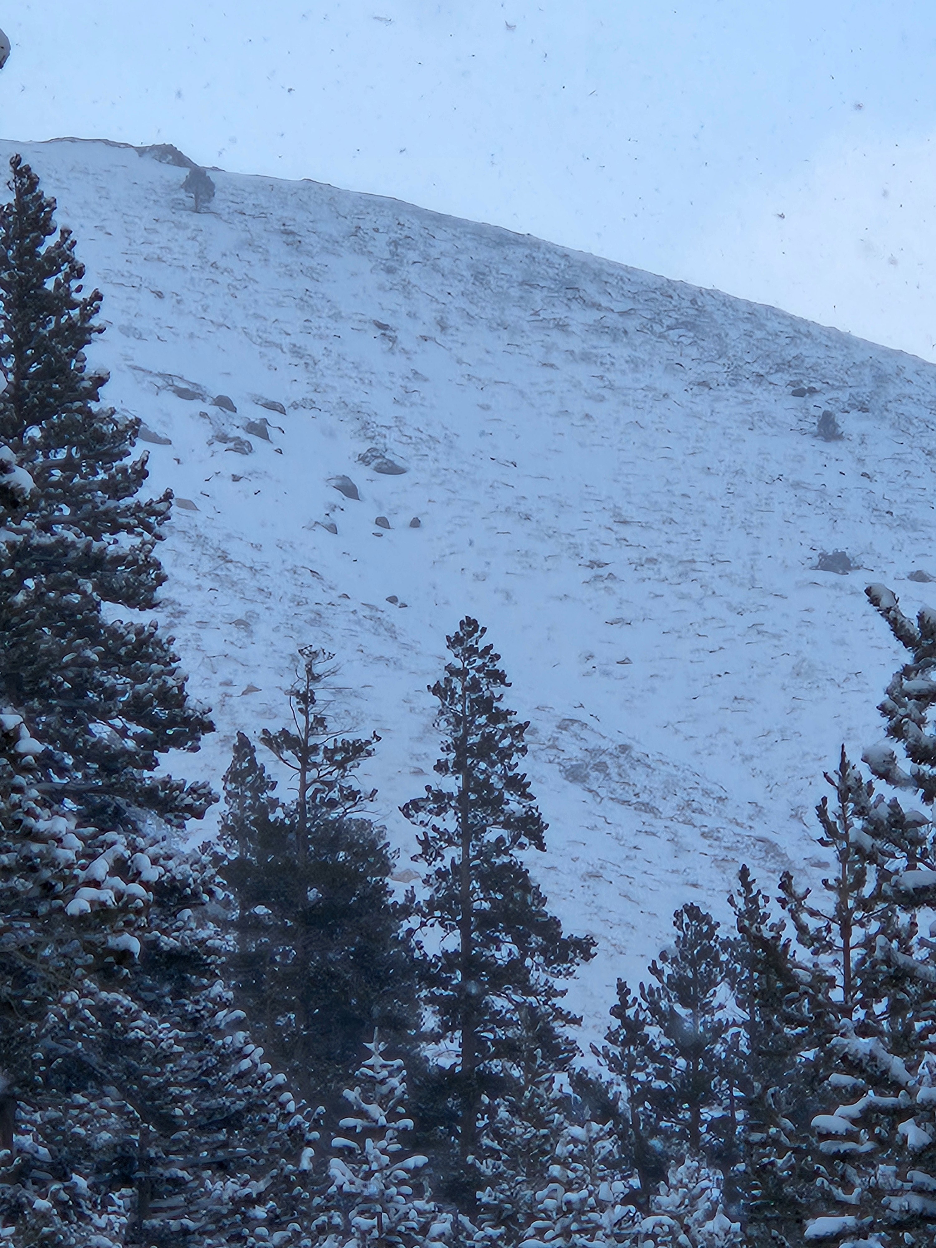
Lots of fresh powder in protected terrain on Northern and Eastern aspects, consistent with local storm patterns. Southern aspects received significantly less snow coverage due to wind. The next few days will determine if this new snow will consolidate into a slab on top of the early season crusts. One of the first big snows of the season, not much that has developed yet as far as dynamic interaction yet.
Weather
- Air Temp
- 18
- Cloud Cover
- obscured
- Wind Loading
- unknown
- Rain Elevation
- 6000' ish
- Recent Snowfall
- 45
- Snow Avail For Transport
- moderate amounts
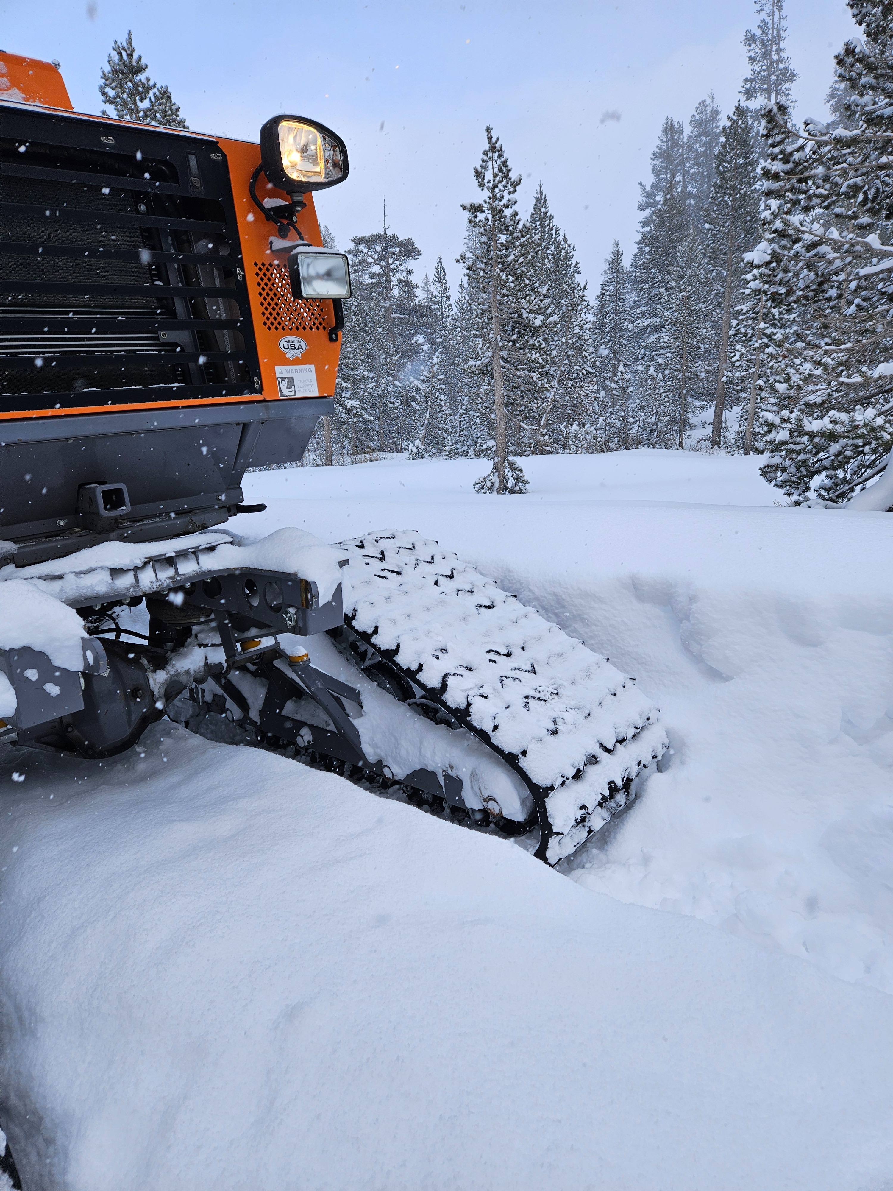
It was actively snowing in the mid-afternoon, about 2cm per hour with light winds less than 4mph from the NW.
Snowpack
Lots of fresh powder, fairly light and dry. 30cm of ski penetration, 50cm of boot penetration. Some crusts of earlier snows could be felt with a probe pole at about 45cm deep.