
Quick report
- Cracking
- specific
- Collapsing
- specific
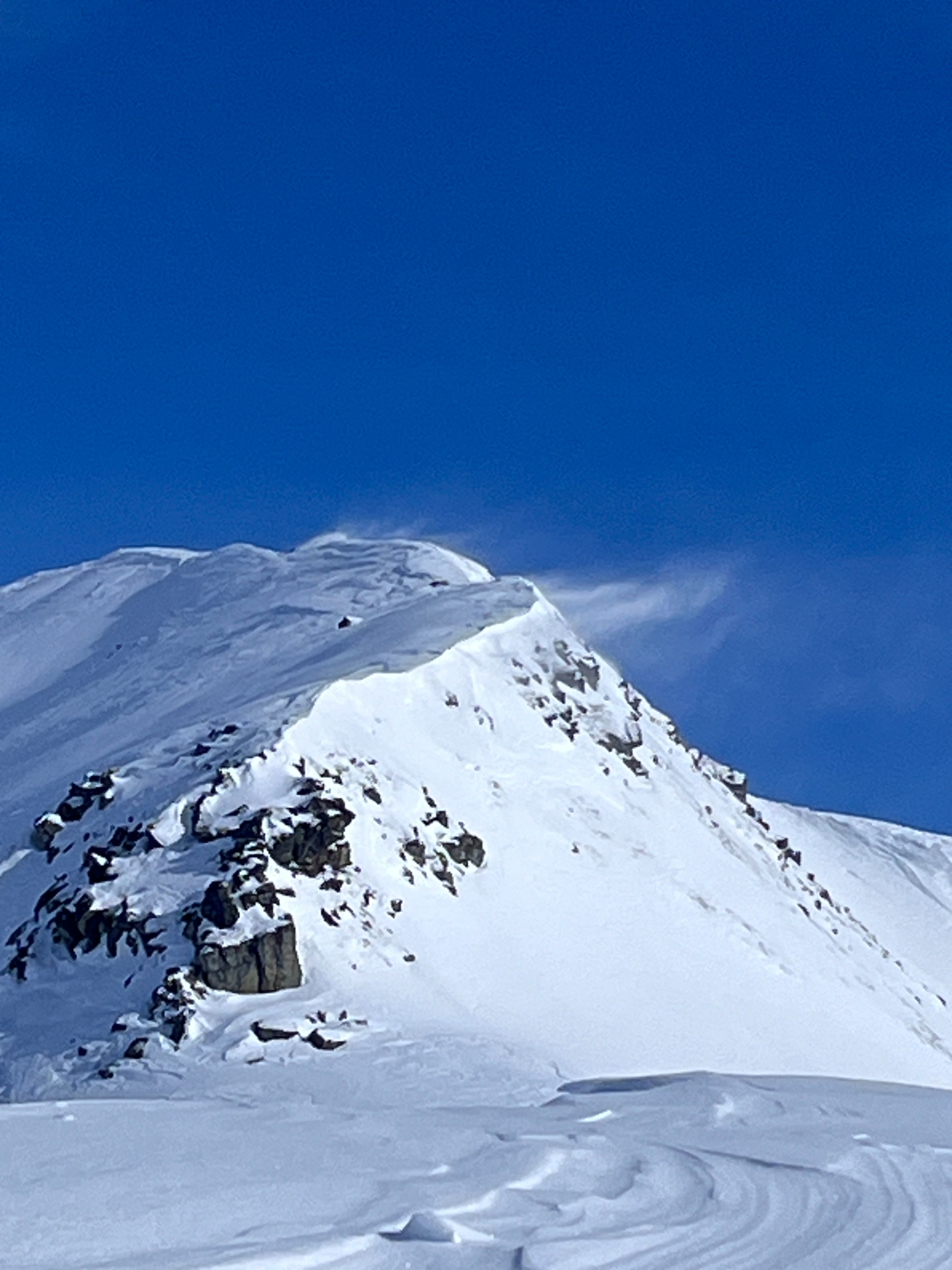
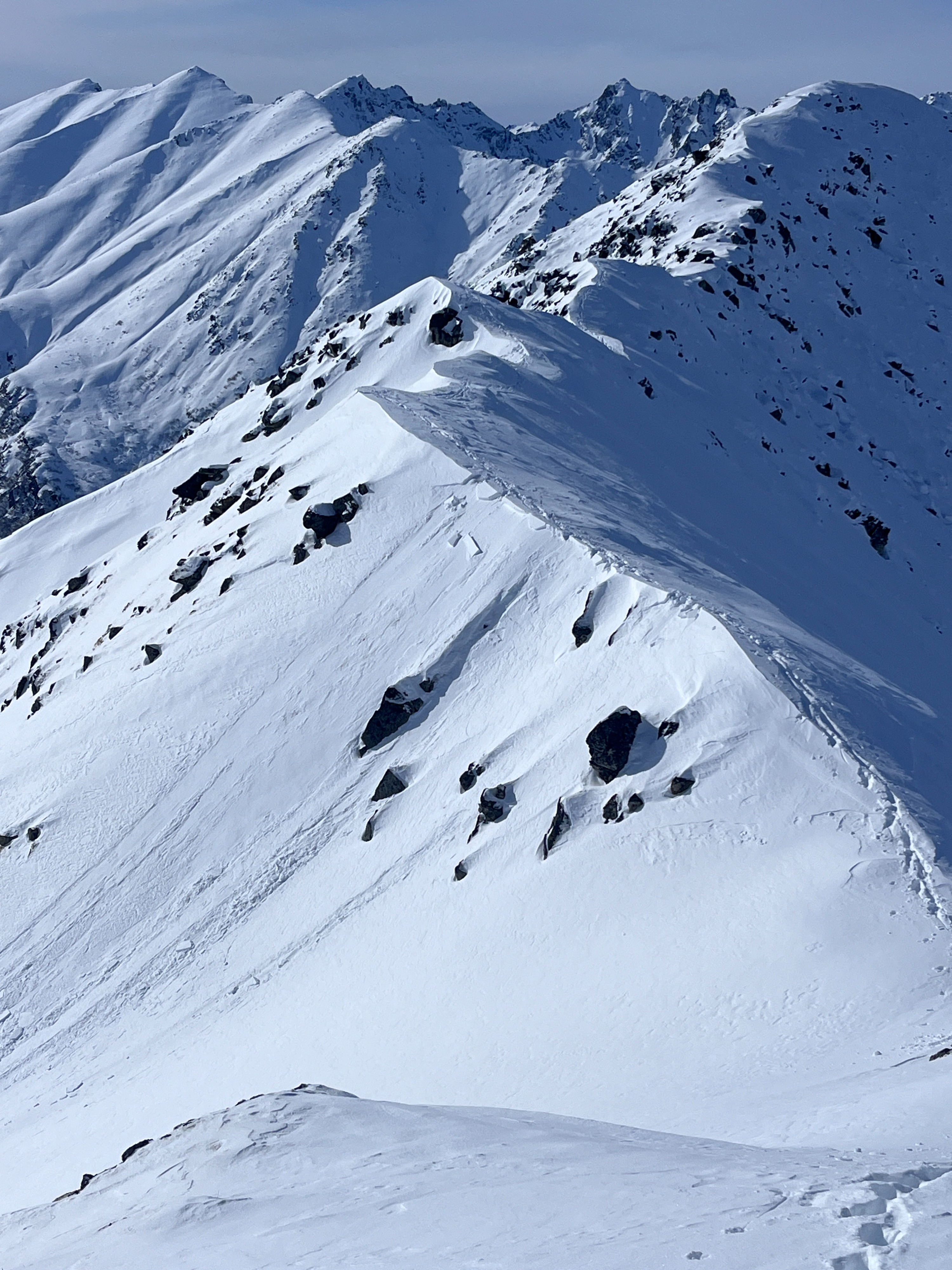
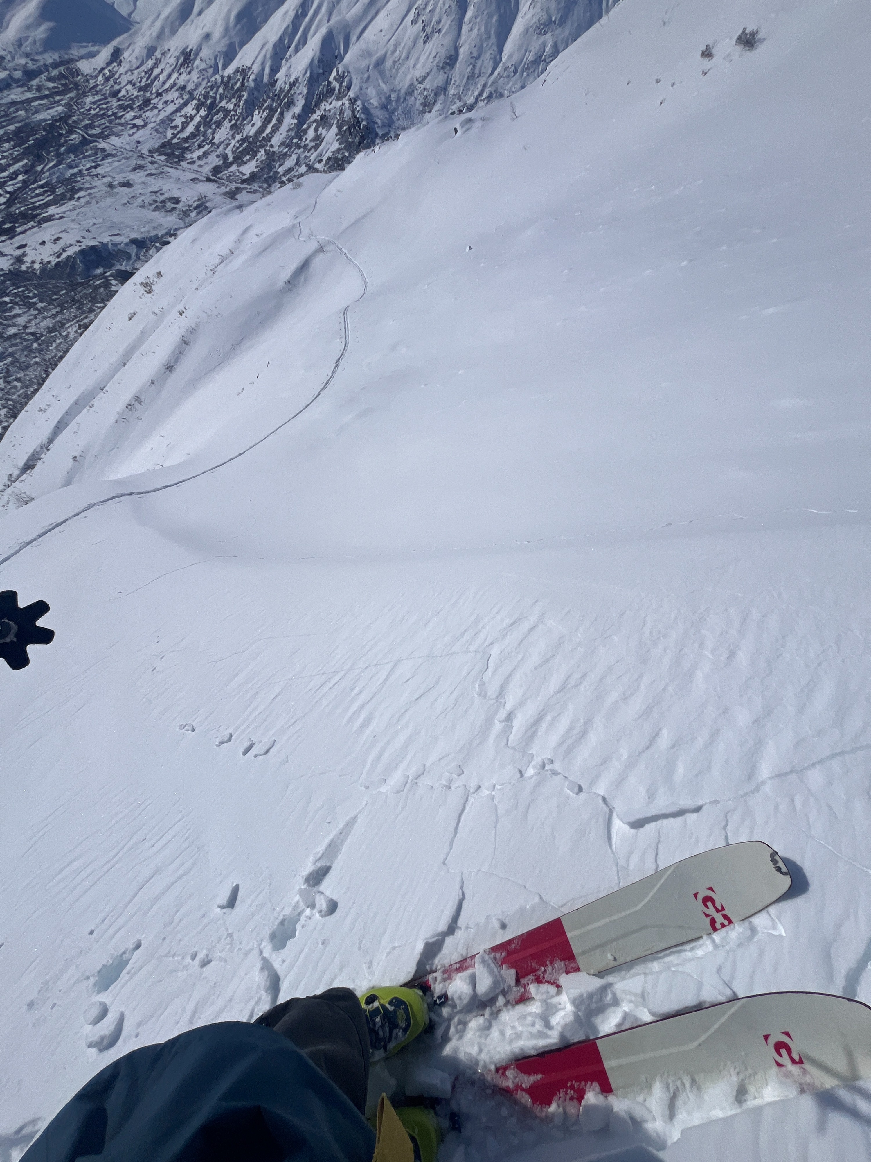
I did my best moose impression today, bushwacking through the willows to Divide Ridge and up to the ridge above. Slippery old wind crust made travel a chore, swapping between booting and skinning frequently. From afar, I could see slopes actively loading from easterly winds. I was able to trigger very small fresh wind slabs near the ridge and along the sides of cross-loaded gullies. Below the few inches of snow that has fallen since the start of March, I found the upper snowpack to be a mess of old wind crusts, rain crusts, and faceted snow—albeit these layers were mostly unreactive in stability tests. On steep sunny slopes below about 3500', a skiff of new snow rests over a thin melt freeze crust that formed over the last few days of clear skies and mild temperatures.
Cracking and collapsing near upper elevations, ridges, and along the sides of cross-loaded gullies. I was able to kick off small fresh wind slabs along the ridge. Even remote triggering: a small pocket of wind-drifted snow. None of these were large enough even to knock you off your feet, max 5' wide.Weather
- Cloud Cover
- few
- Wind Loading
- light
- Snow Avail For Transport
- small smounts
Mostly sunny skies and light to moderate winds. Winds were mostly easterly with periods of northeast and southeast winds. Winds seemed stronger in the mountains south of the road, with consistent flagging near Arkose, and the surrounding terrain.
Snowpack
Yesterday's skiff of snow was barely distinguishable from snowfall in early March. Any new snow has been blown around at upper elevations into thin reactive wind slabs. In hand pits near the ridge line, these slides were failing within the newish snow (early March) above previous wind crusts.
I dug on a SW-facing slope at about 4800'. The most recently drifted snow and the previous wind crusts failed on isolation (ECTPV) above small grain facets. Down about 20cm, I had ECTN11 results below yet another old windcrust above facets. Bottom line, the upper snowpack is a mess of wind crusts and facets sitting above the January melt freeze/rain crust complex.
Below about 3500' steep solar slopes (S and SW) have developed a 1cm surface crust below Saturday's snowfall.