
Golden Gate
Weather
- Cloud Cover
- obscured
- Wind Loading
- moderate
- Recent Snowfall
- 2-20 cm
- Snow Avail For Transport
- moderate amounts
AM: humid, E winds, light precipitation @ lower elevations, strong SW winds and cold temps @ higher elevations PM: Moderate SW winds, strong gusts, heavy precipitation @ all elevations
Snowpack
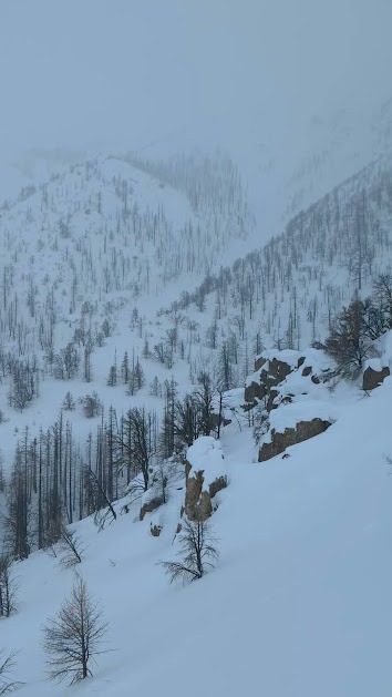
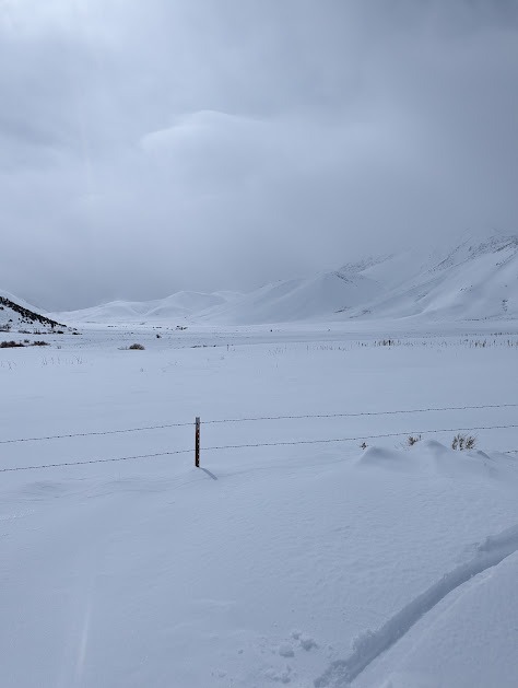
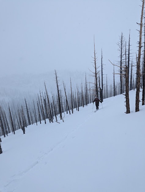
Walker Cnyn is closed, and so we couldn't access the BWRA. Instead, we tried to sled up Mill Creek to get eyes on the storm near Sonora Pass. Winds were strong from the SW, and visibility was minimal so we turned around and sledded up Golden Gate Rd to get some snowpack observations.
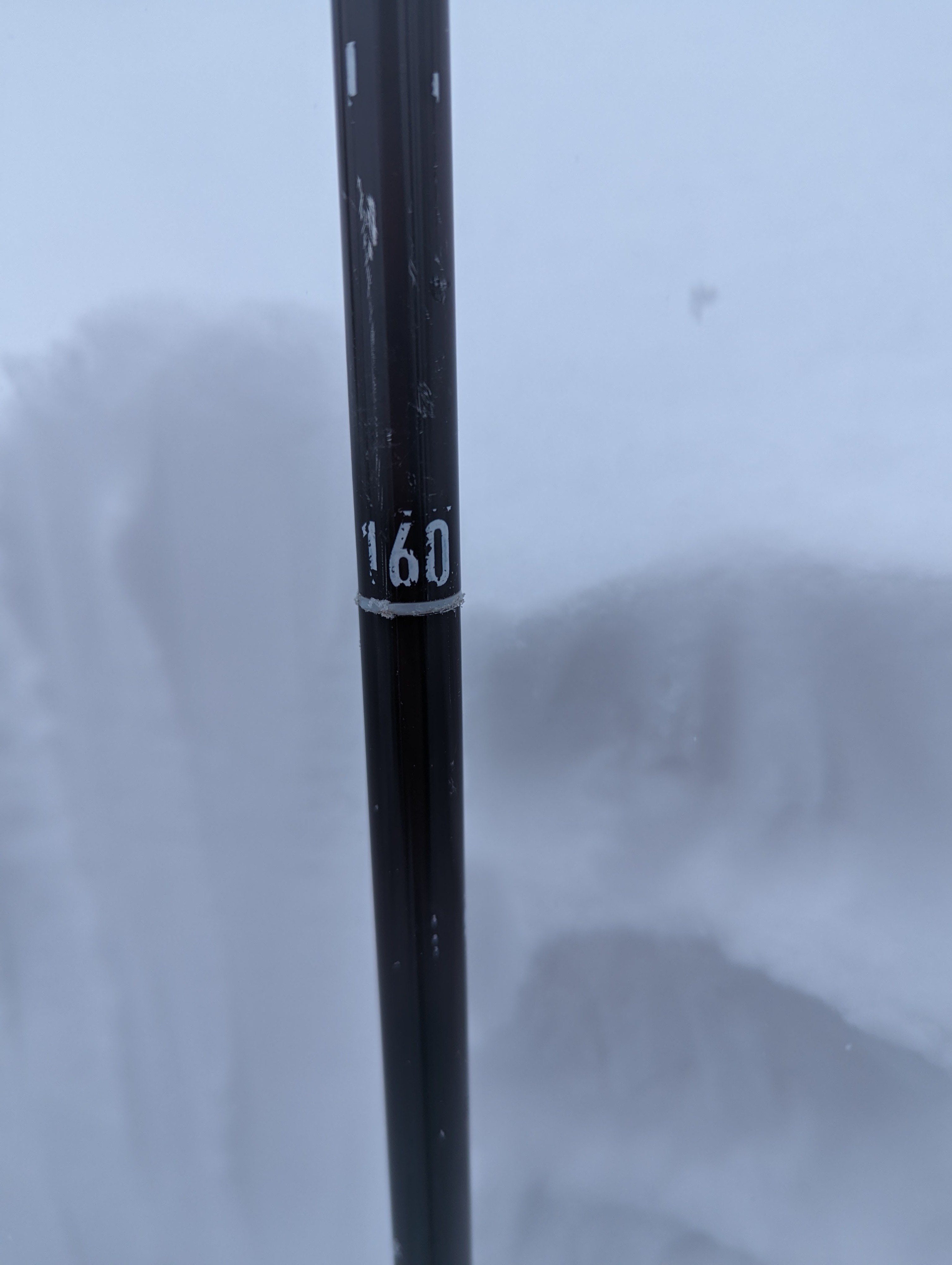
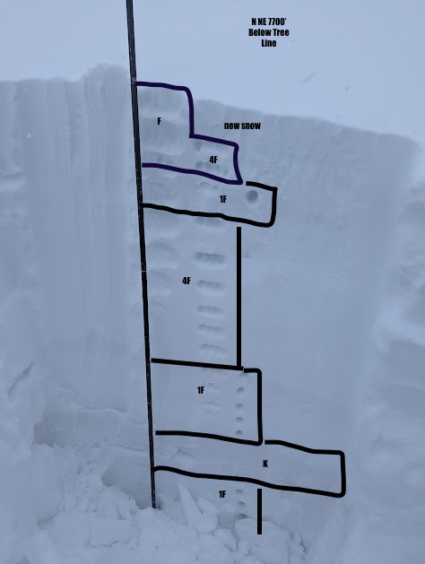
There was 2 - 20 cm of new snow. The higher we traveled, the more new snow we noted. Below the new snow, we found stark distinctions between snowpacks related to elevation and aspect. A S facing aspect ~ 6800 ft had a distinct moist/dry snow interface that showed instability in a quick mit pit. S facing aspects also noted sun crusts beneath the new snow. We found a 5-10 cm thick 1F layer lurking below the new snow on a N/NE at 7100'. This is the same aspect as the observed avalanche. Due to a sudden increase of intensity in weather, we did not have time to test the reactivity of this layer.
Precipitation was active throughout the day, and increased as the day continued. Winds picked up as well, and temperatures dropped. Wind related snow tranport was evident in wind drifts, sastrugi and blowing snow, even below tree line.
Avalanche
- Type
- U
- Aspect
- NE
An avalanche of unknown size, type, and trigger ran at least 1000 ft down a NE facing gully, taking out some dead trees and part of Golden Gate Rd. The debris only had a few cm of snow on top, suggesting it happened within the last 48 hrs. Due to limited visibility, the crown/start zone/full slide path were not visible, and many details are unknown.