
Quick report
Many large avalanches ran during our most recent storm in the Lakes Basin. While near-surface instabilities are settling out quite quickly from the storm, uncertainty remains around the distribution and reactivity of the weak snow (basal FC) at the bottom of the snowpack.
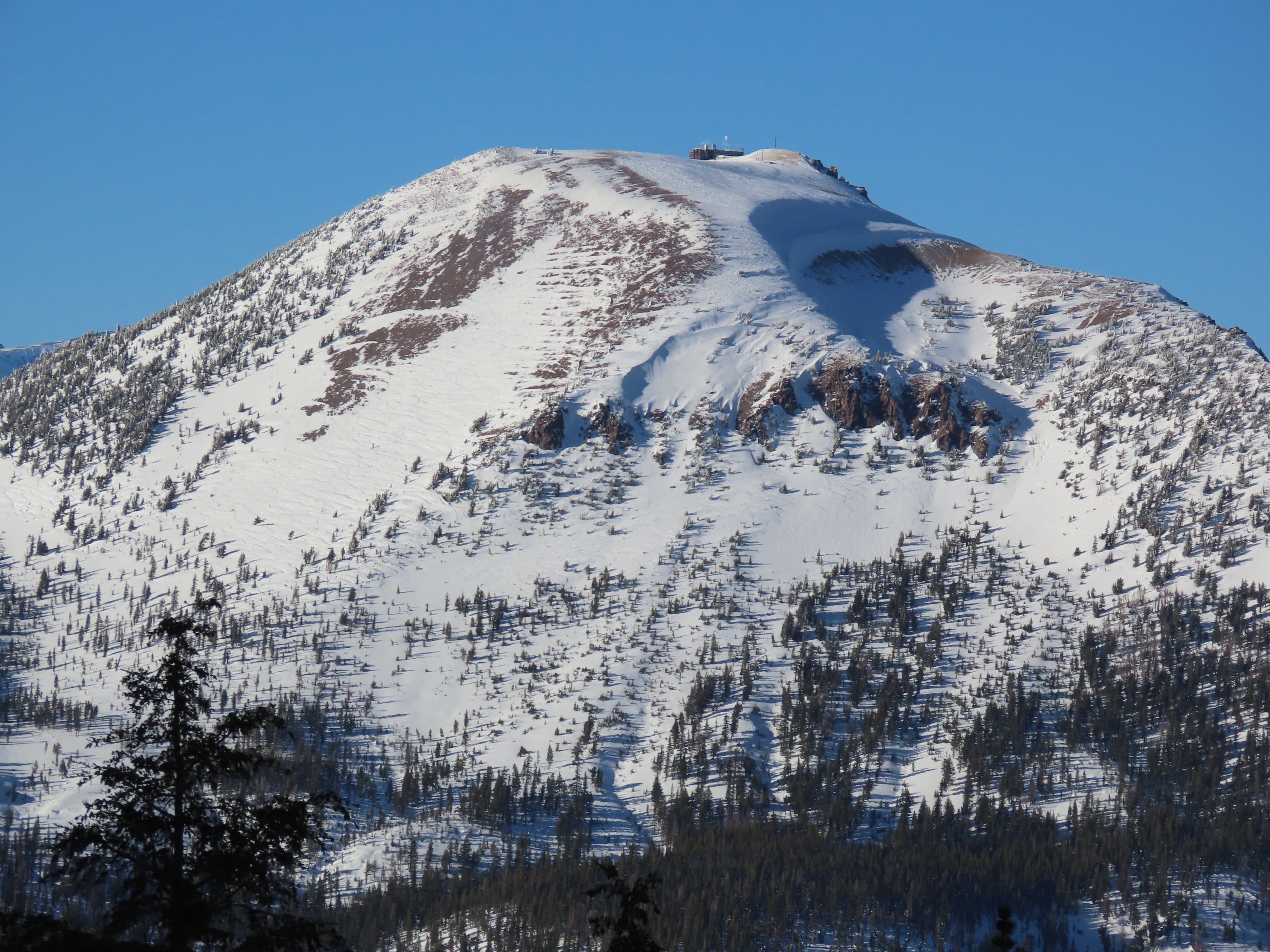
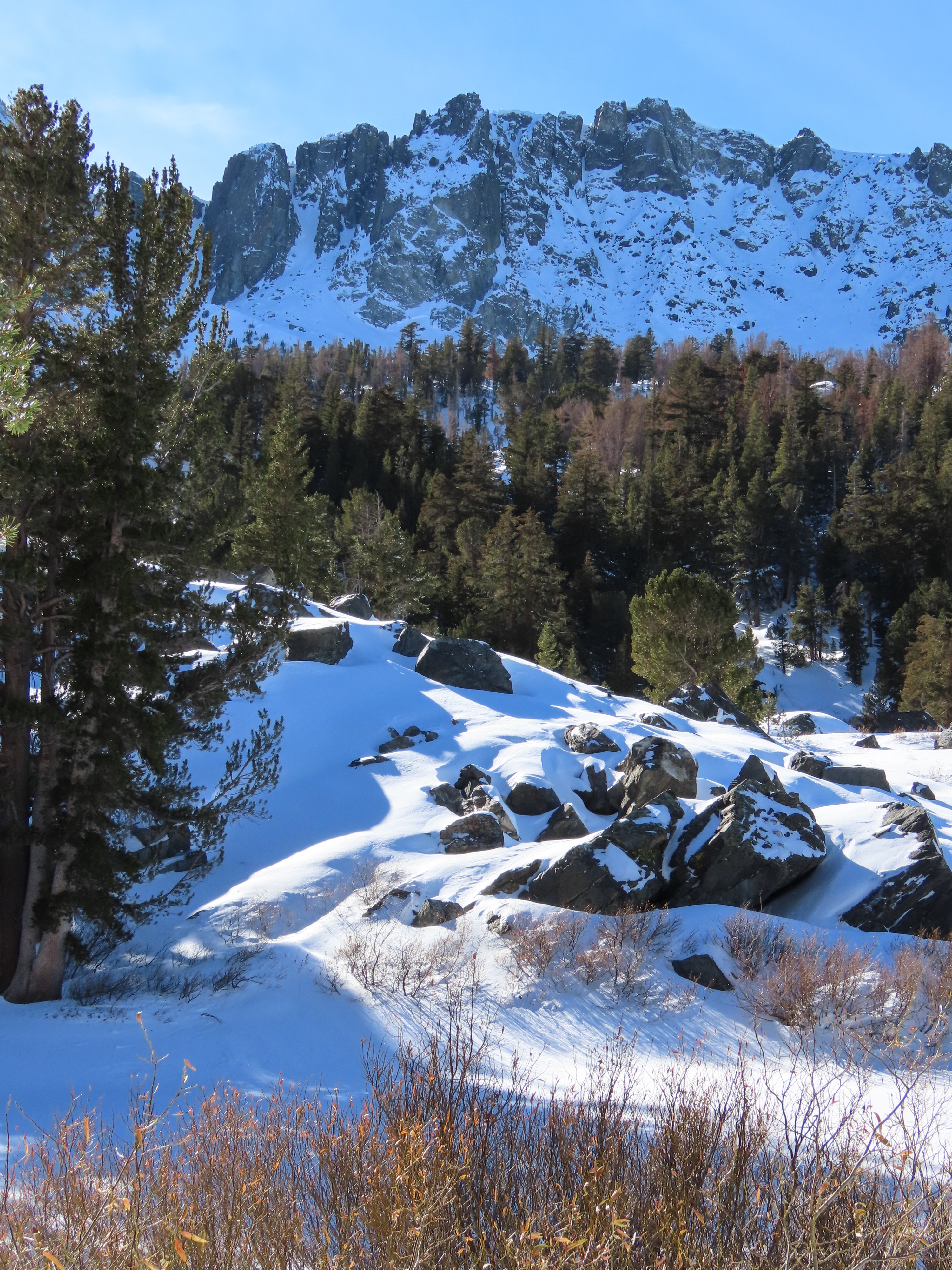
Many large (D2+) natural avalanches running in paths along the Mammoth Crest. Terrain varied between steep, sheltered, and confined lines to large swaths of broad apron.Weather
- Air Temp
- Rising to above 32°
- Cloud Cover
- few
- Wind Loading
- previous
- Snow Avail For Transport
- moderate amounts
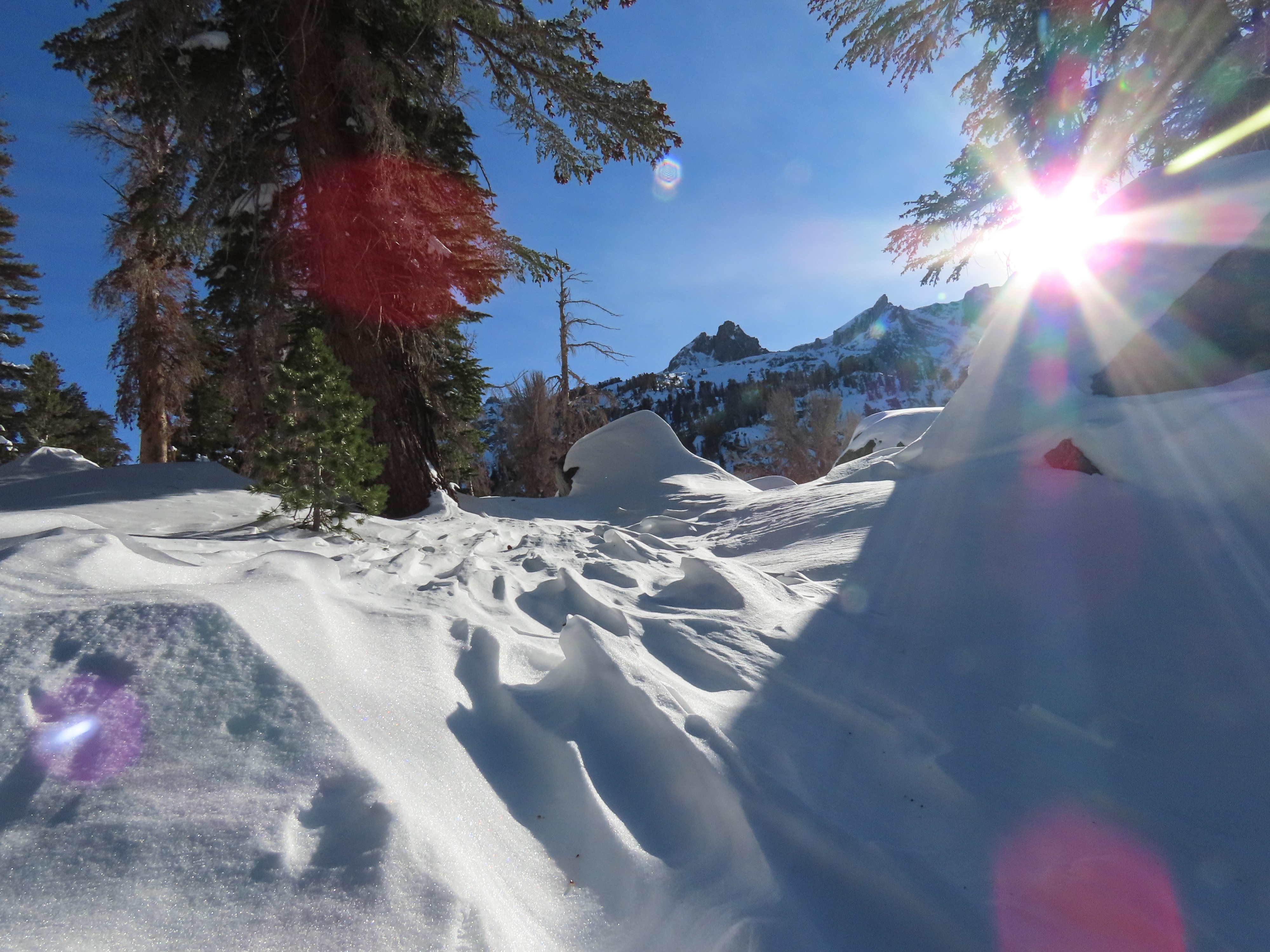
Leaving the truck just after 11:15, I started in a sun hoody with temperatures feeling well above freezing. Mostly clear skies with temperatures climbing well above freezing even at 10,000' by mid-day. Winds were mostly calm, increasing to light out of the SW after 13:00. Moderate amounts of snow available for transport, but no active wind transport.
Snowpack
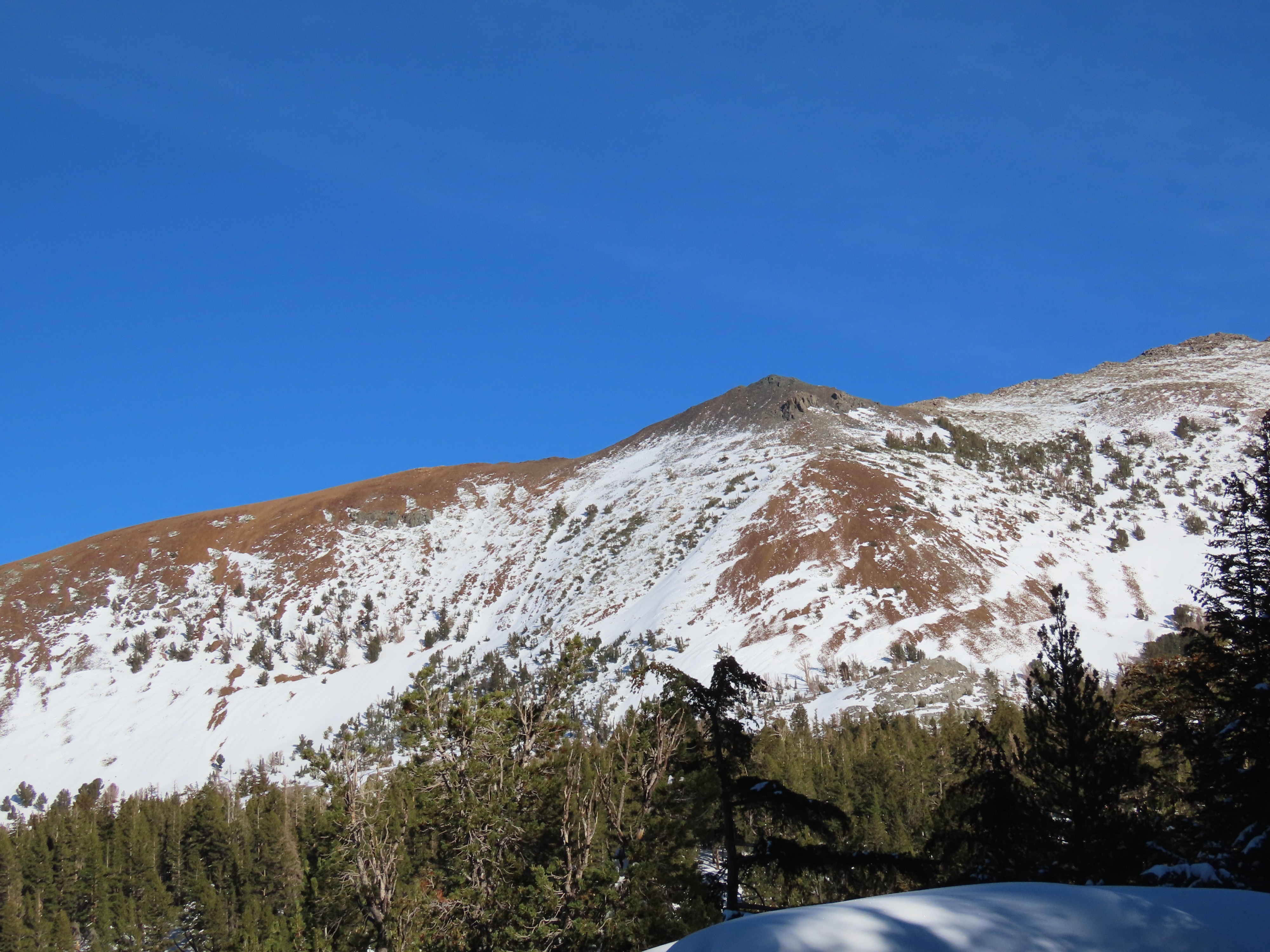
Left the truck just after 11:15am, with snow coverage from public parking at Tamarack. HS 90-95cm on a N-facing slope near 9200' above Cold Water Creek. Basal facets (FC) were inconsistently present from 9200-10200', ranging from 5-15cm of flat, faceted snow at base of snowpack when present. Once gaining a decent vantage of the Mammoth Crest, it became apparent that many(8+) large (D2) avalanches ran during and just after our most recent storm 11/25-26 (see avalanche observations above). Terrain varied between steep, sheltered, and confined lines to large swaths of broad apron. Two broke as likely wind/storm slabs and stepped down to a deeper layer. Due to the storm starting out colder, becoming warmer mid-storm, and then cooling off again in Mammoth, it is likely that these ran on a mid-storm layer. Windward / solar aspects (S-SW-W) were mostly stripped of snow.
Wind-loaded slopes proved to be stubborn to unreactive, with wind deposits cracking but not breaking with depths ranging from 20-60cm. Height of snow (HS)90-100cm from 9600-10200'. The top 80cm of the snowpack was progressively well-settled from F>4F>1F. This laid on top of 5-15cm of basal FC between 9800-10200'. Snowpack tests were inconclusive with ECTP28, 29 or ECTXs. While near-surface instabilities are settling out quite quickly from the storm, uncertainty remains around the distribution and reactivity of the weak snow (basal FC) at the bottom of the snowpack.
On my exit solar slopes had developed a sun crust, while many northerly slopes below 9800' had a temperature crust.
Avalanche
- Size
- D2 R2
- Count
- 9
- Aspect
- N
- Trigger
- N
- Elevation
- 10800 ft