

Quick report
Our goals today were to look for wet snow instabilities, observe the surface freeze, and dig on a northerly aspect to track meltwater.
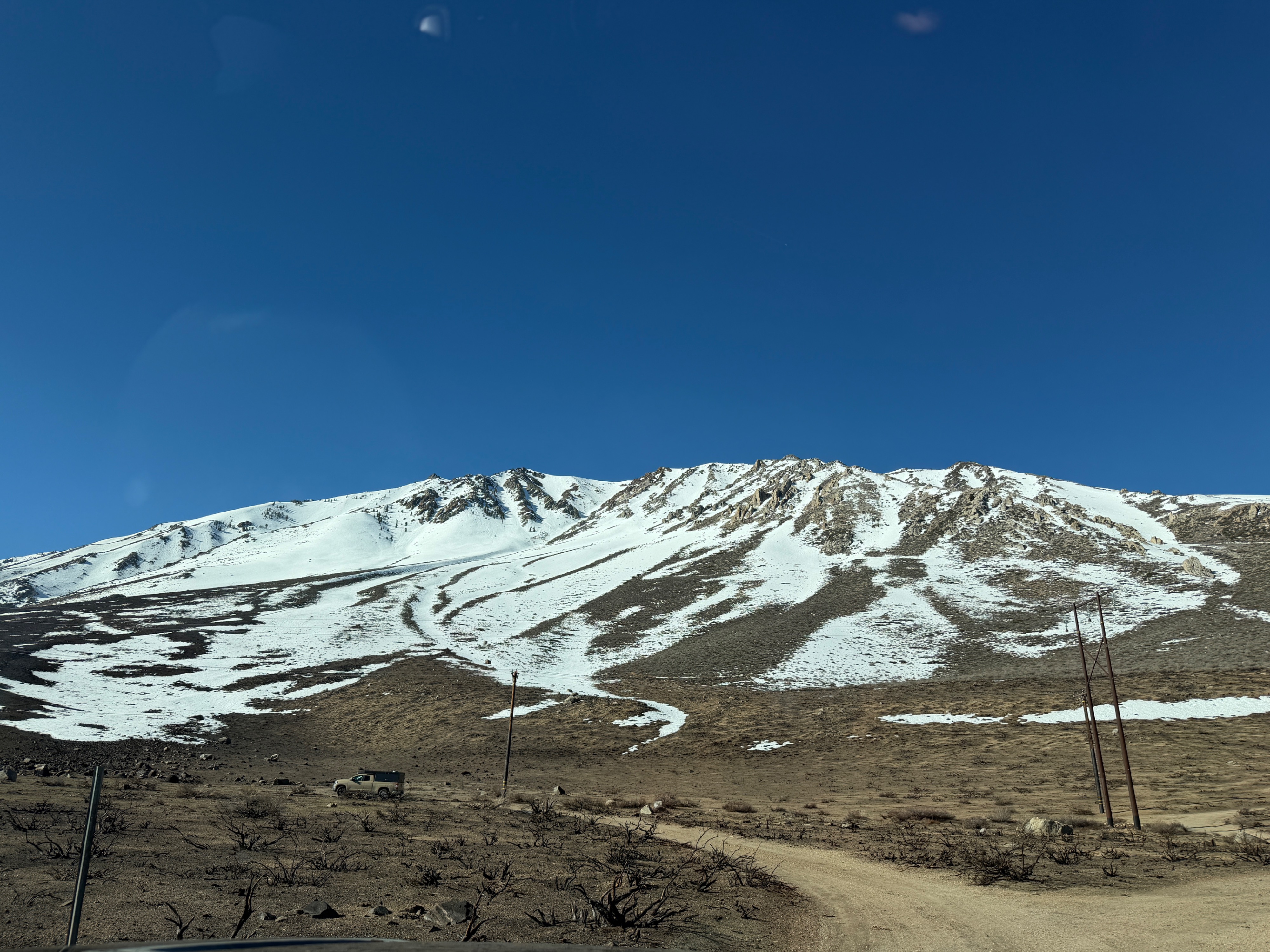
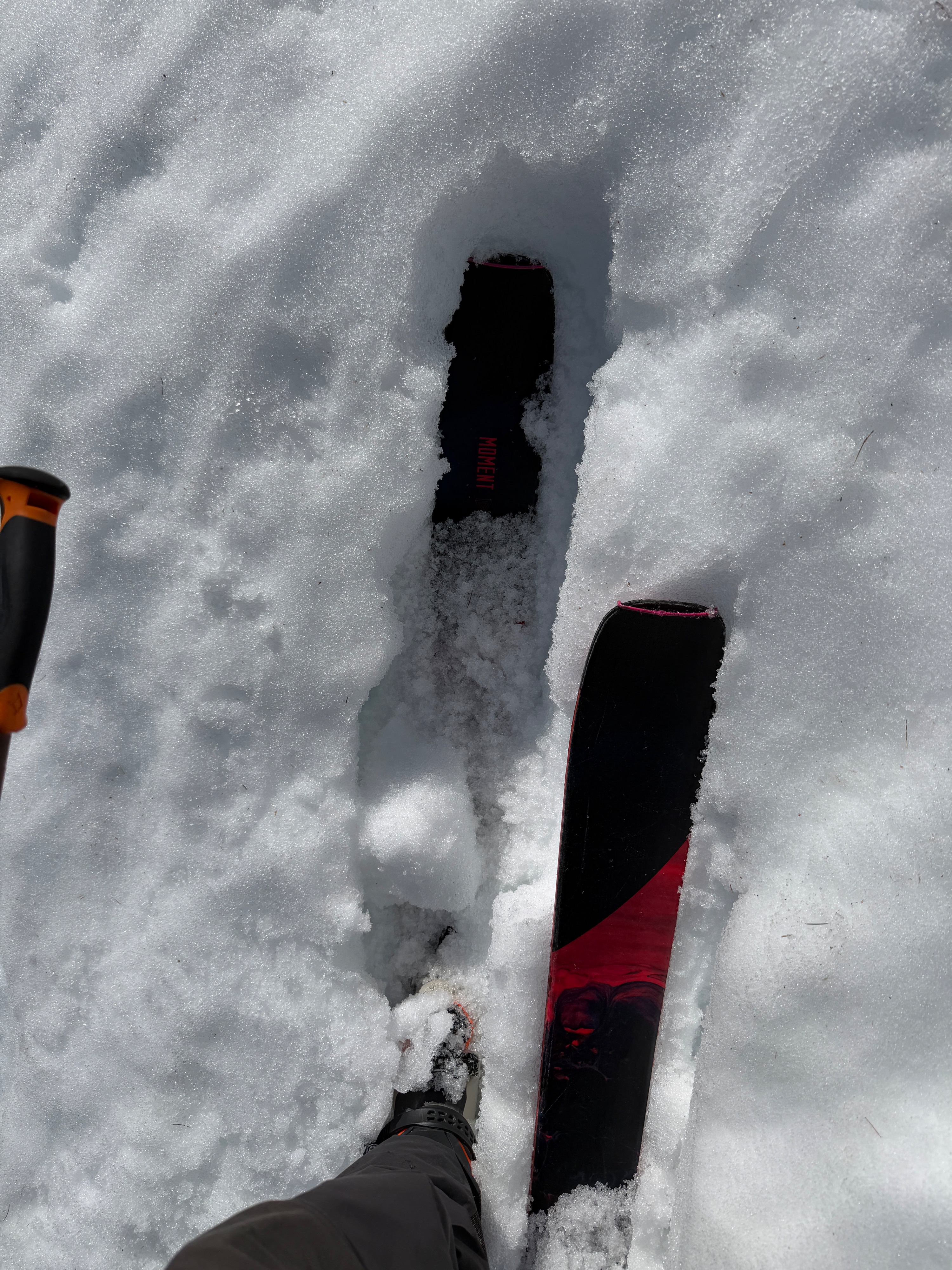
At 930 am, surfaces were barely supportable for skis, and it was obvious that the overnight freeze had been minimal. By 1030 am, ski penetration was 20-30 cm in places, and the skintrack was more unsupportable than not.
On our ski down, we tried to get on some small, steep, and wet terrain to see if we could get any wet snow moving downhill. We were unsuccessful despite our best efforts.
The ski down was largely isothermal mush, but we were able to stay on top if we skied directly on old debris fans. As you might expect, snow is melting very fast with above-freezing temperatures around the clock.
Weather
- Air Temp
- 50 - 60
- Cloud Cover
- few
- Wind Loading
- none
- Recent Snowfall
- None
- Snow Avail For Transport
- none
Mostly sunny, calm to light southwest winds, and very warm.
Snowpack
On east aspects below 9k, the snowpack consists entirely of melt forms to the ground.
We dug at 9200 feet on a NE aspect. We found:
- 135cm total height of snow (HS).
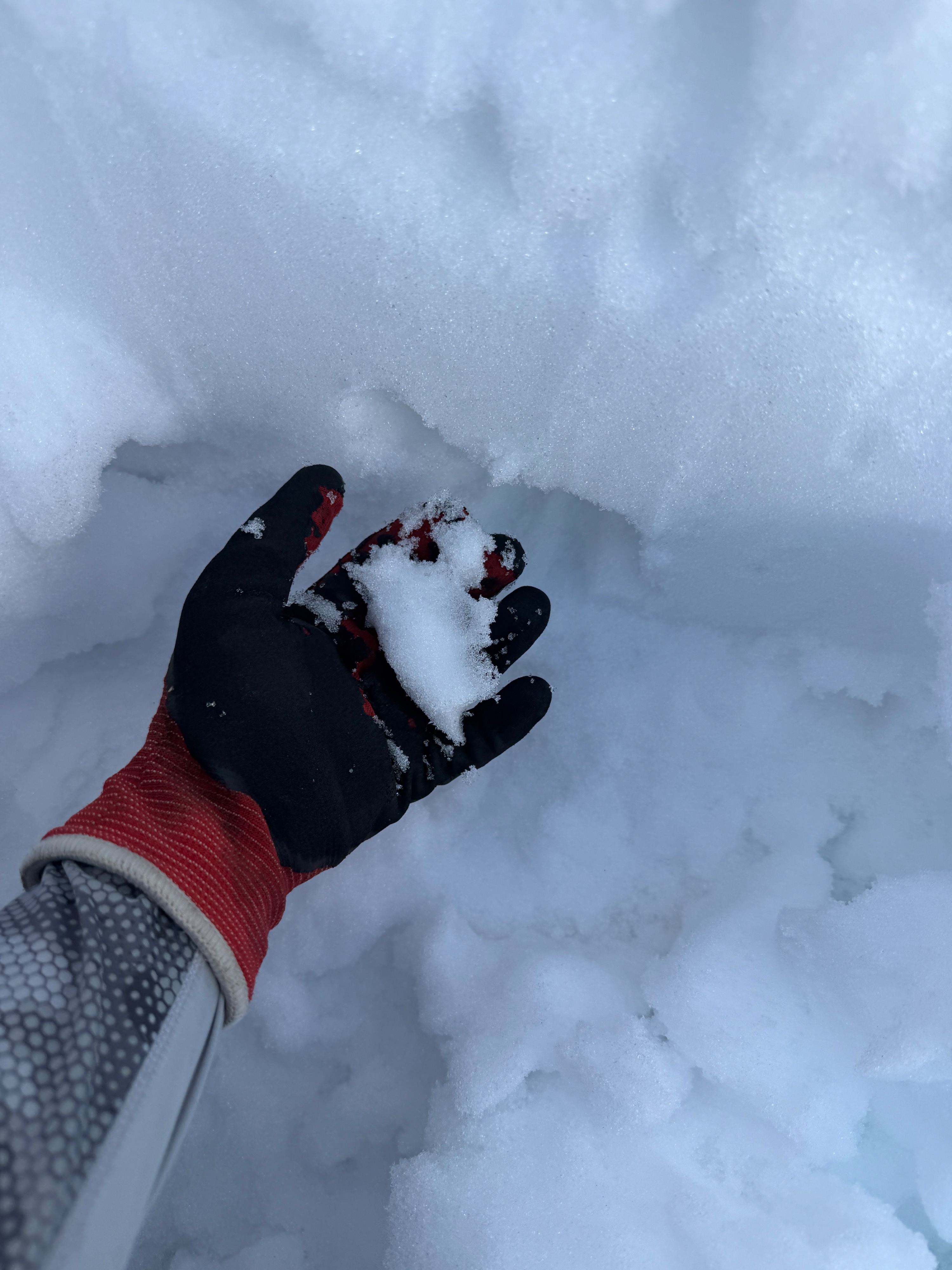
- Moist snow to the ground.
- A lack of any discernible stratigraphy.
- Melt forms, flow channels, and refrozen meltwater have established themselves throughout the entire pack, and no one layer is continuous or concerning.
- Some vague semblance of old crusts and facets, but most have been impacted by free water.
We observed minimal signs of instability, natural or human-triggered today.