
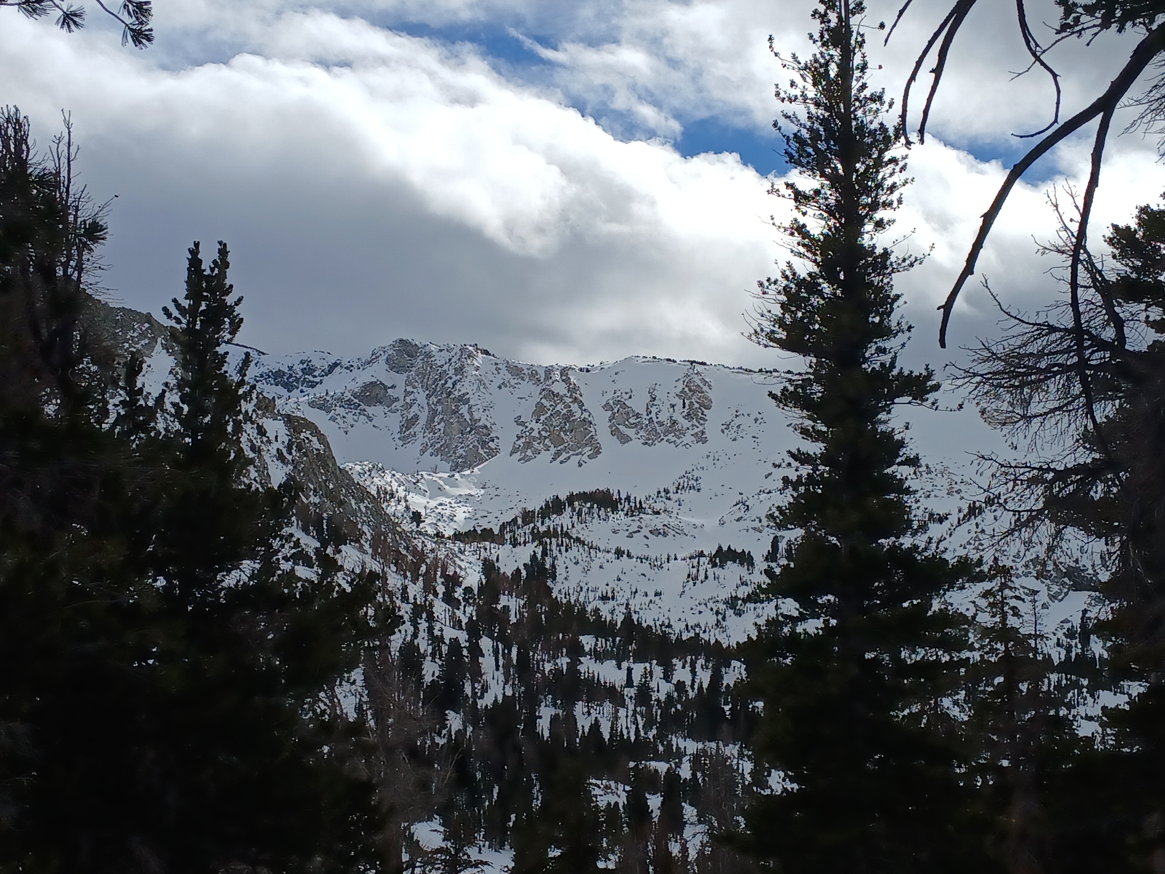
Quick report
SNOW (approx. 8800-9600') Surface snow was already warm and moist at 10am (I suspect it had stayed warm overnight). The upper snowpack was dense, and I think the recent wind affect helped keep the effects of warming from turning into instability while we were out. Snow surface became wet around noon, causing some minor glopping on our skis skinning up the trees to Crystal Lake. Ski quality when descending was sticky, making for unpredictable turns. Turns created a little heavy chunder but did not leave rollerballs running downhill, no entrainment either. I investigated some small wind deposits in the Crystal Lake vicinity (near treeline, around 9600’). Surfaces were stiff (1F hard), tacky, and unreactive. I stomped on an unsupported snow pillow over a rock, and the snow broke a small (2’) chunk directly under my feet. I saw no cracking out from my skis or propagation, which didn’t surprise me giving the warmth of the snow – it just felt “damp,” both in the sense of being moist and lack of reactivity. The upper snowpack was generally dense and supportable everywhere we traveled but a little softer in the more-sheltered trees ascending up from Lake George. I poked into the snow a little bit deeper here and found a crust beneath this week’s snow. It was breakable and recent snow had bonded very well to it. WEATHER Temperatures felt warm and above freezing at 10am. Winds up high were very strong, pushing clouds rapidly across the sky. Winds shook the treetops and occasionally mixed down to the ground. While we were out, winds decreased and clouds increased, holding in the warmth with thick stratus clouds. By the time we had returned to the car around 1:30 pm, clouds had decreased and it was mostly sunny. No precipitation occurred while we were out.