
Quick report
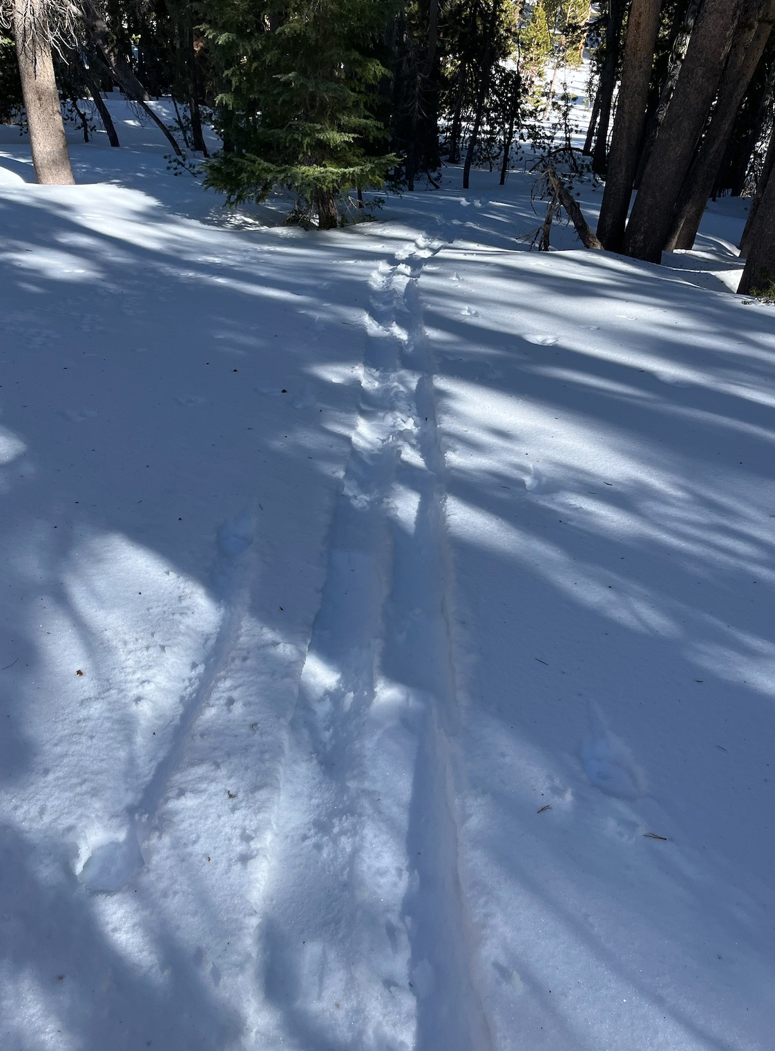
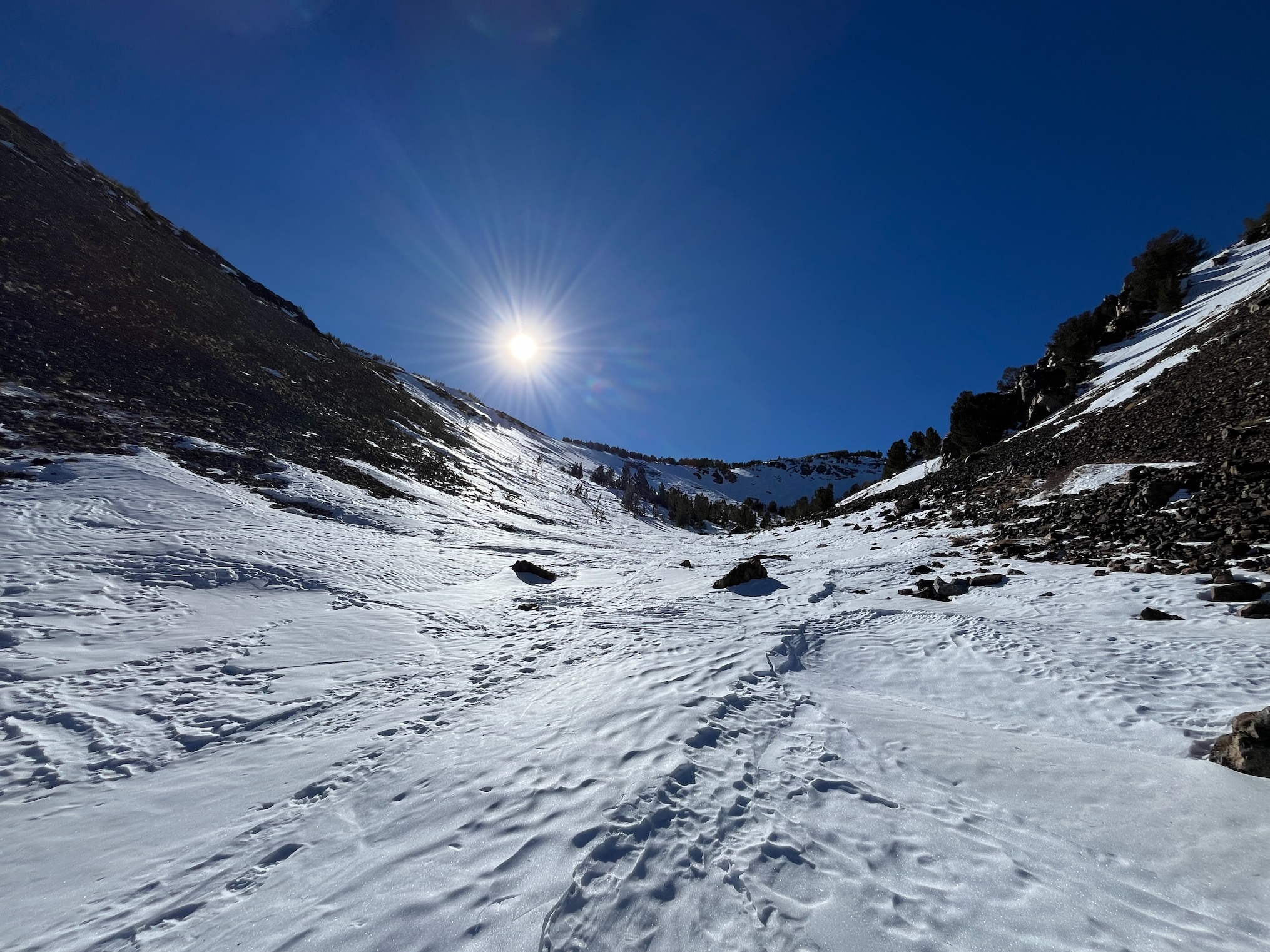
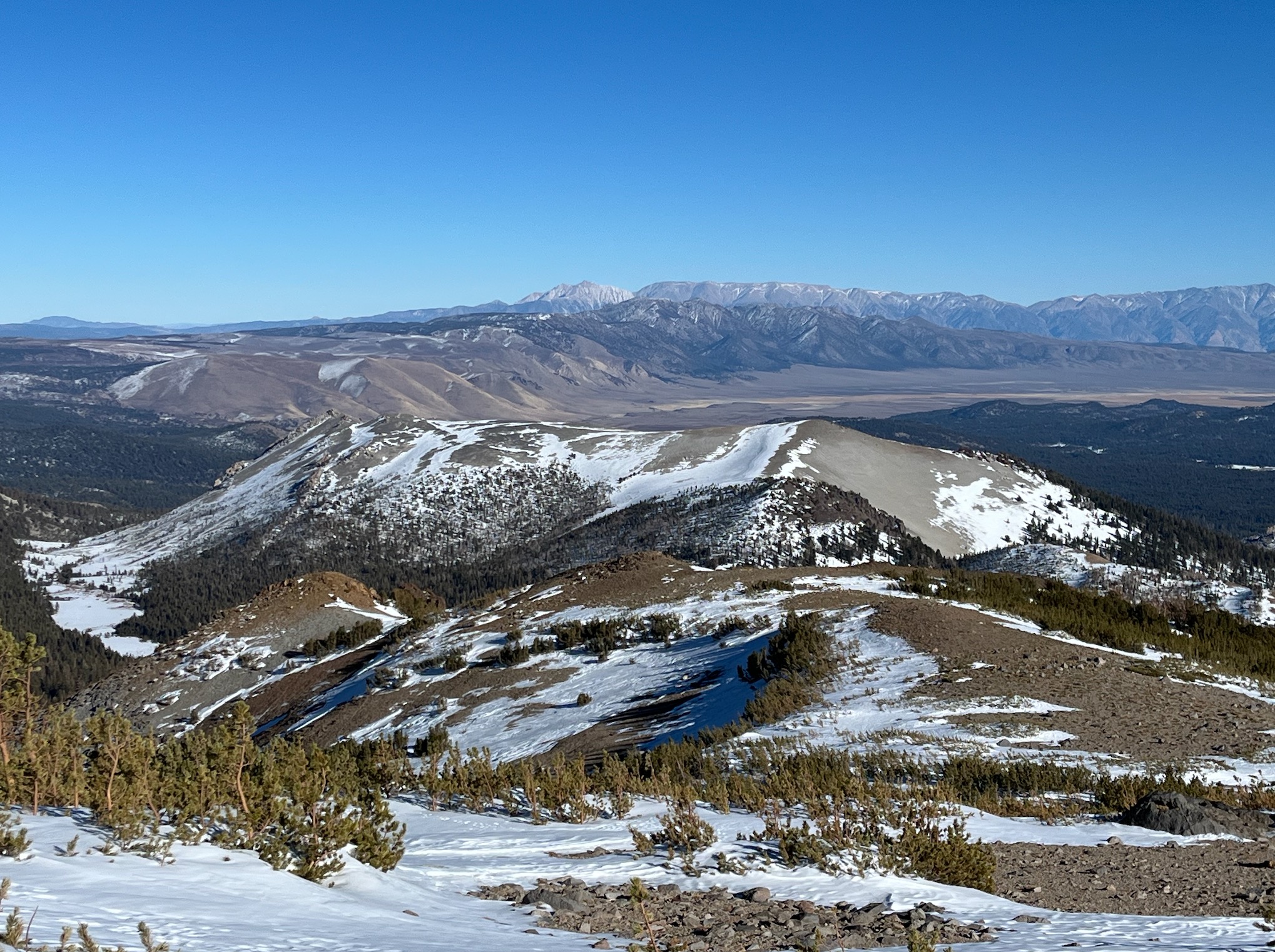
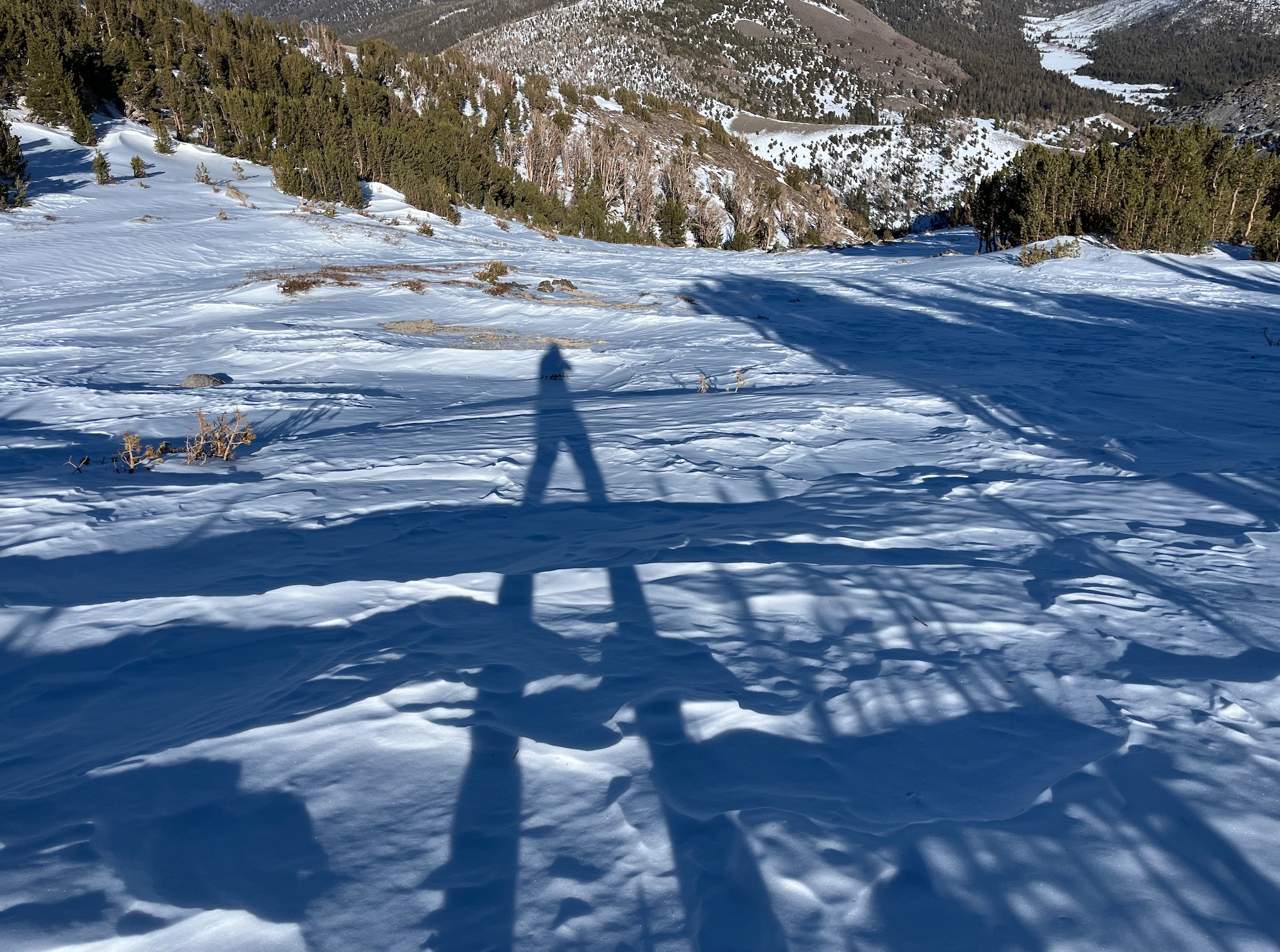
Adventure is still a great mindset to have when heading out into the backcountry. Variable surfaces and a shallow snowpack exists overall on all aspects. Many neutral and southerly aspects are scoured/melted to rock. While air temperatures were well above freezing, snow surfaces remained cold until the later afternoon hours. A N aspect @ 10100' held T air 45ºF and T surf 25ºF @ 10:30 am. A S aspect @ 11000' held T air 46ºF and T surf 36ºF @ 2 pm. No instabilities were observed. Temperature gradients in the upper snowpack were not very strong today during the afternoon hours. Many surfaces have faceted above and below crusts or P - K hard wind affected surfaces. Smooth, predictable surfaces existed in the most protected terrain, but coverage was shallow.
Weather
- Air Temp
- 44
- Cloud Cover
- clear
Clear, calm weather, with above freezing temperatures at all elevations traveled.
Snowpack
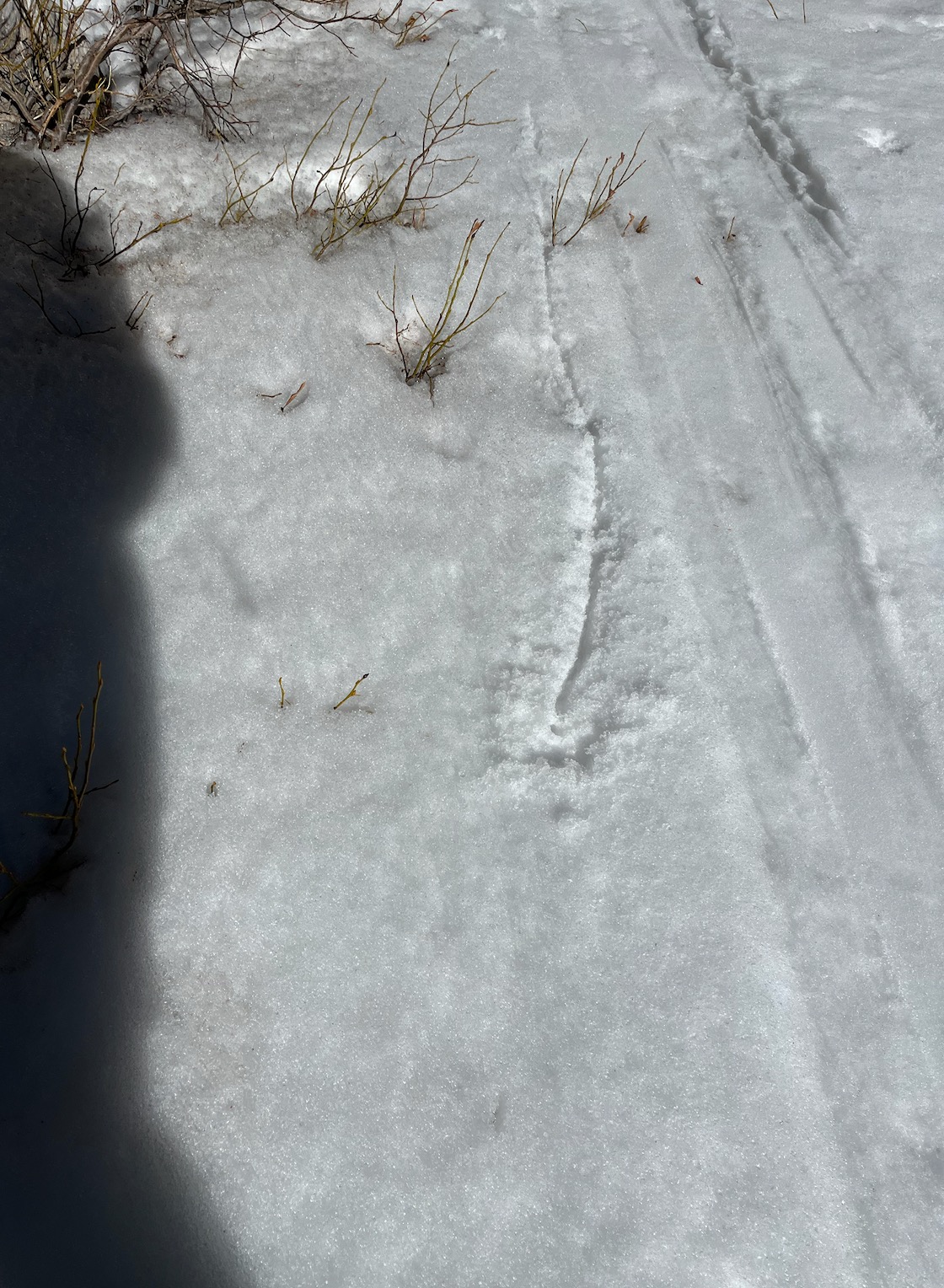
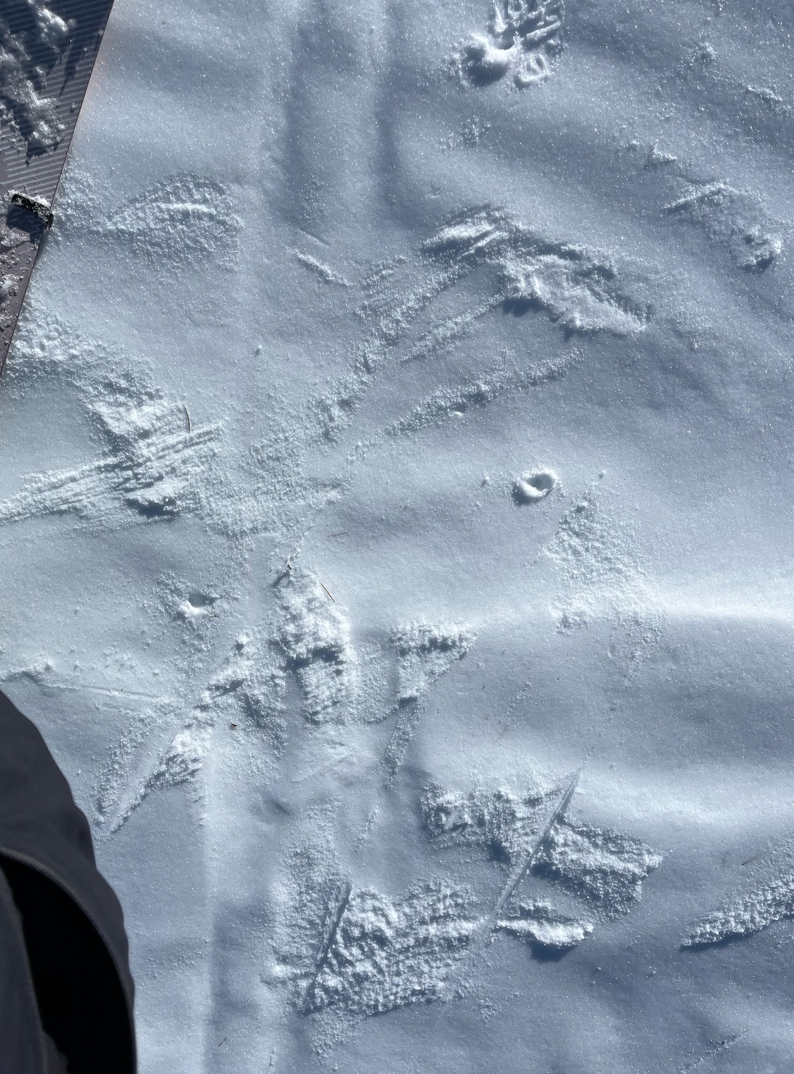
SW/S/SE where there is snow, there is a CRUST FACET CRUST combo of varying hardnesses and thicknesses; in shallowest areas there are well developed melt forms. The top 3 cms of snow was wet in direct sun @ 1300, 10400'. No instability was observed. Surface crusts developed immediately once the sun set behind the mountains. HS 63 cm.
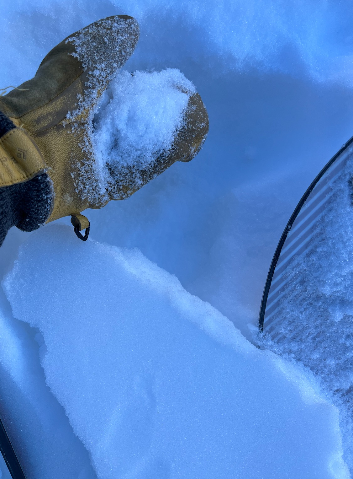
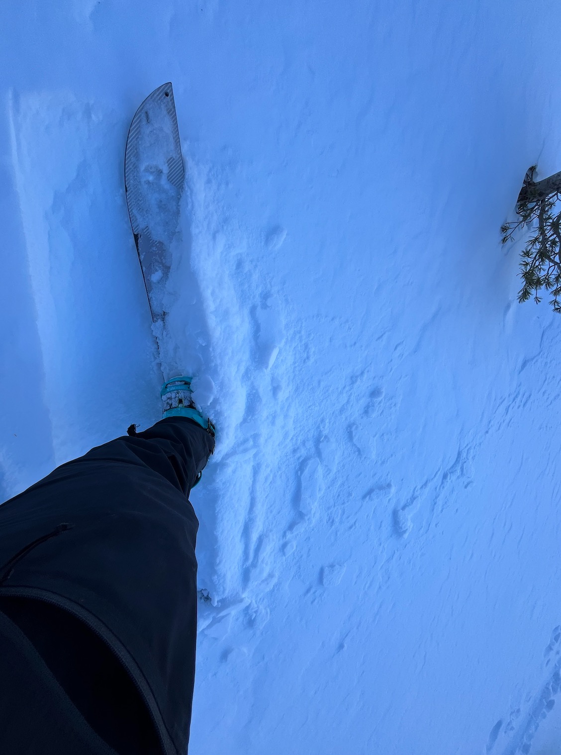
N - NE (BTL, protected trees) - 9600' 15 cm F FC up to 2 mm over 3 cm MFcr 1F over 5 cm FC 2-3 mm over 1F MFcr over FC to ground. HS 82 cm.
N - NE NTL/ATL - mixed bag of surfaces, 1 cm wind skin over 10 cm FC over P - K hard wind affected layer; icey surfaces, slick K hard wind affected surfaces.