
Quick report
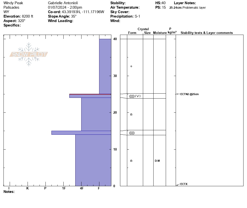
Access to the Palisade continues to leave little to be desired from this side of the range, but will improve significantly after this week. Average snowpack height above 7,000 feet, around 1.3 feet (40cm) on northerly aspects, no real results in pit, but with additional snowfall in the next 5-10 days and/or any uptick in wind, slabs will be crafted in the alpine.
Appears as though in most locations (other than areas of the Salt, which saw significantly more significant snowfall amounts), the newest snowfall has yet to settle much or be transported and compacted by wind enough to be more "avalanchey." When the new snowfall decides to set up as a slab with more time, incoming wind, and more snowfall, expect sensitive conditions in this area and all parts of the Greys (remote triggering of avalanches likely during/after any additional snowfall or weather changes). Caution should be taken under, next to, or adjacent to steep slopes at middle & upper elevations later in the week. Where I traveled, 12/1 (November drought snow) was not an issue as the snowpack as this section of the range so near the valley entrance has been too shallow and spatially variable to maintain it. You may find it more continuously on N aspects above 9,000 feet or if traveling deeper in the range, which has held more snow for longer. Still, my primary concern remains the January 4 interface of near-surface, surface hoar, and crusts, now buried 6-7 inches deep with light snowfall.
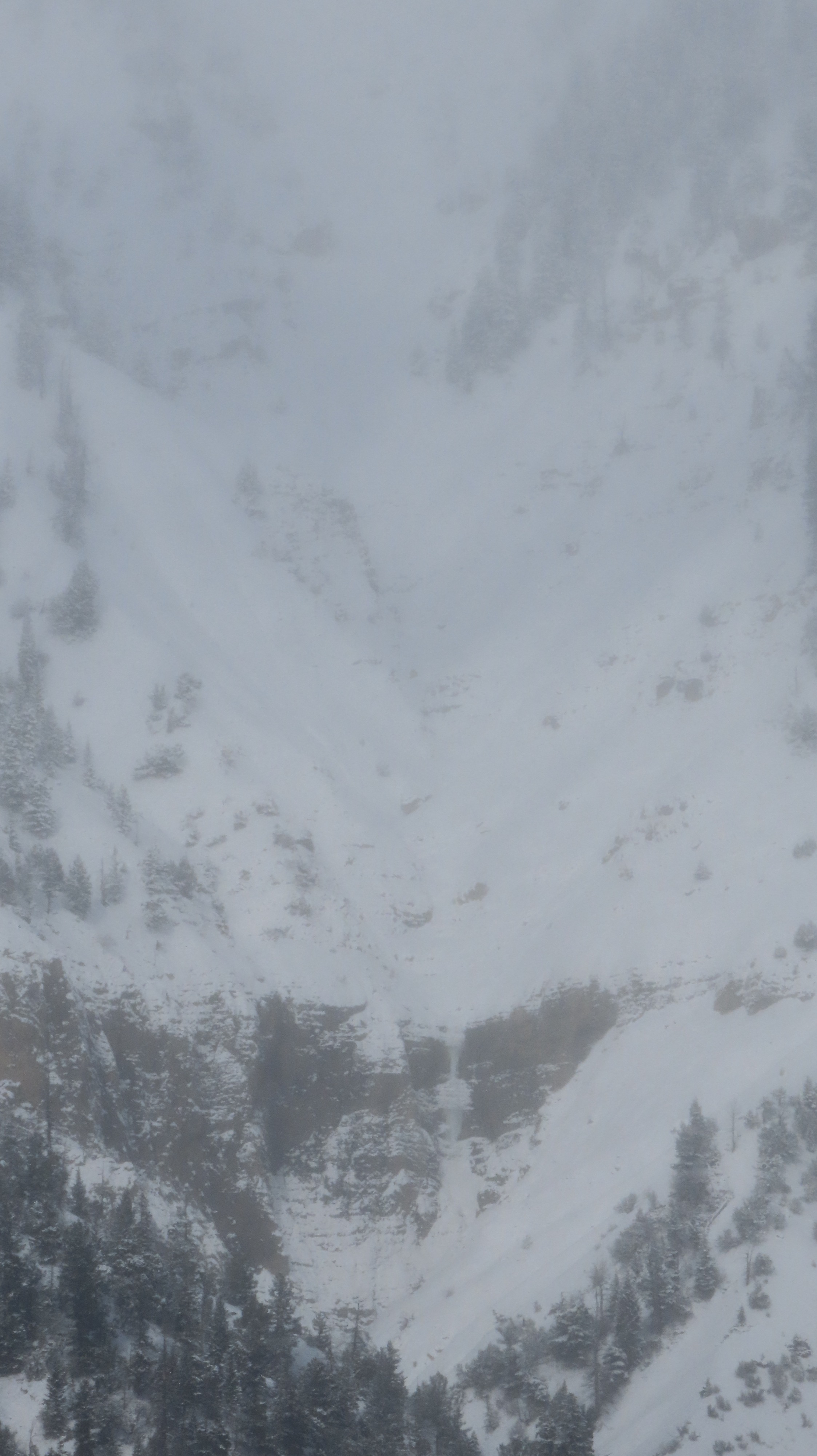
Recent loose snow avalanches in the alpine during brief clearings in visibilityWeather
- Air Temp
- 20
- Cloud Cover
- obscured
- Wind Loading
- light
- Recent Snowfall
- 15
- Snow Avail For Transport
- small smounts
Brief clearing midday to allow some vis; otherwise light to moderate winds from the NW, appear to be trending W/SW, picking up on Tuesday ahead of the incoming storm
Snowpack
Generally thin, melded-on snowpack apart from the newest snowfall up to 8,700'. Layer of concern is the recently buried O/N interface once we get more wind and snowfall later in the week; things will run easily on this interface on both the N and S halves of the compass, remaining sensitive for longer on the N half on preserved surface hoar. I suspect S aspects will run dry loose snow and any mid-storm slab development rapidly and then bond fairly well, whereas the N half has a more complicated set of preserved issues.