
Quick report
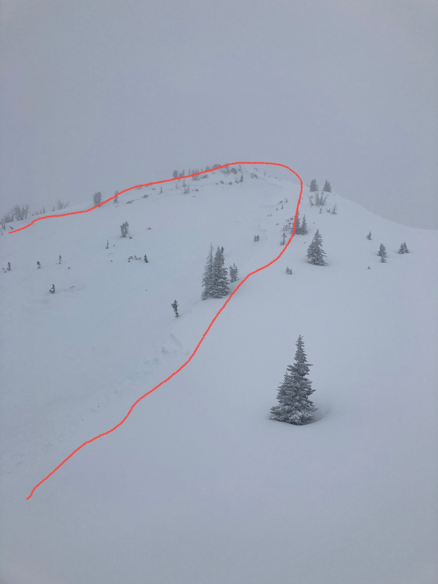
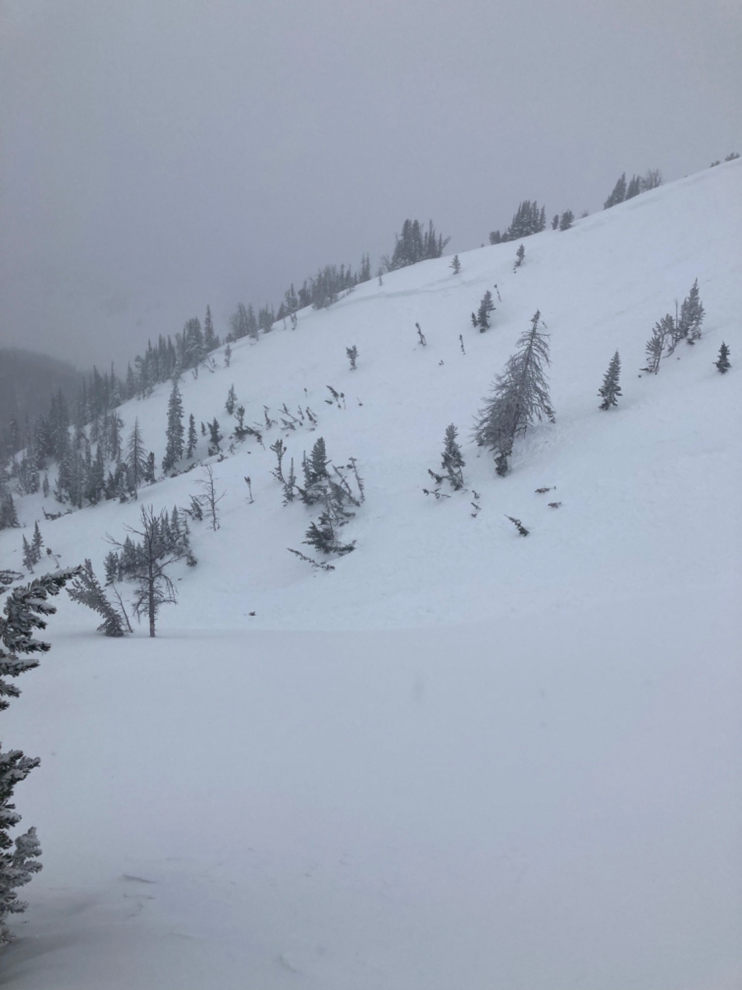
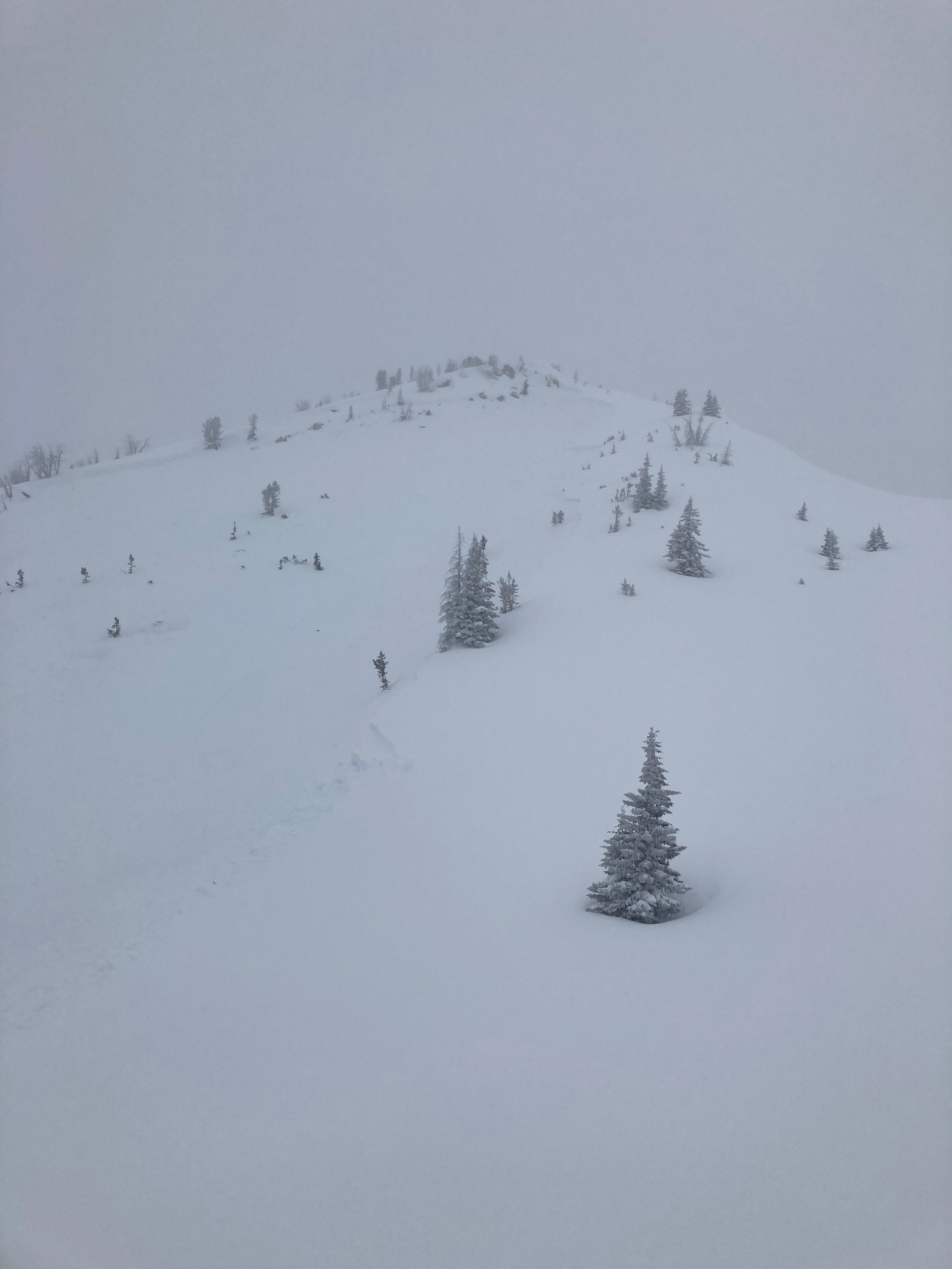
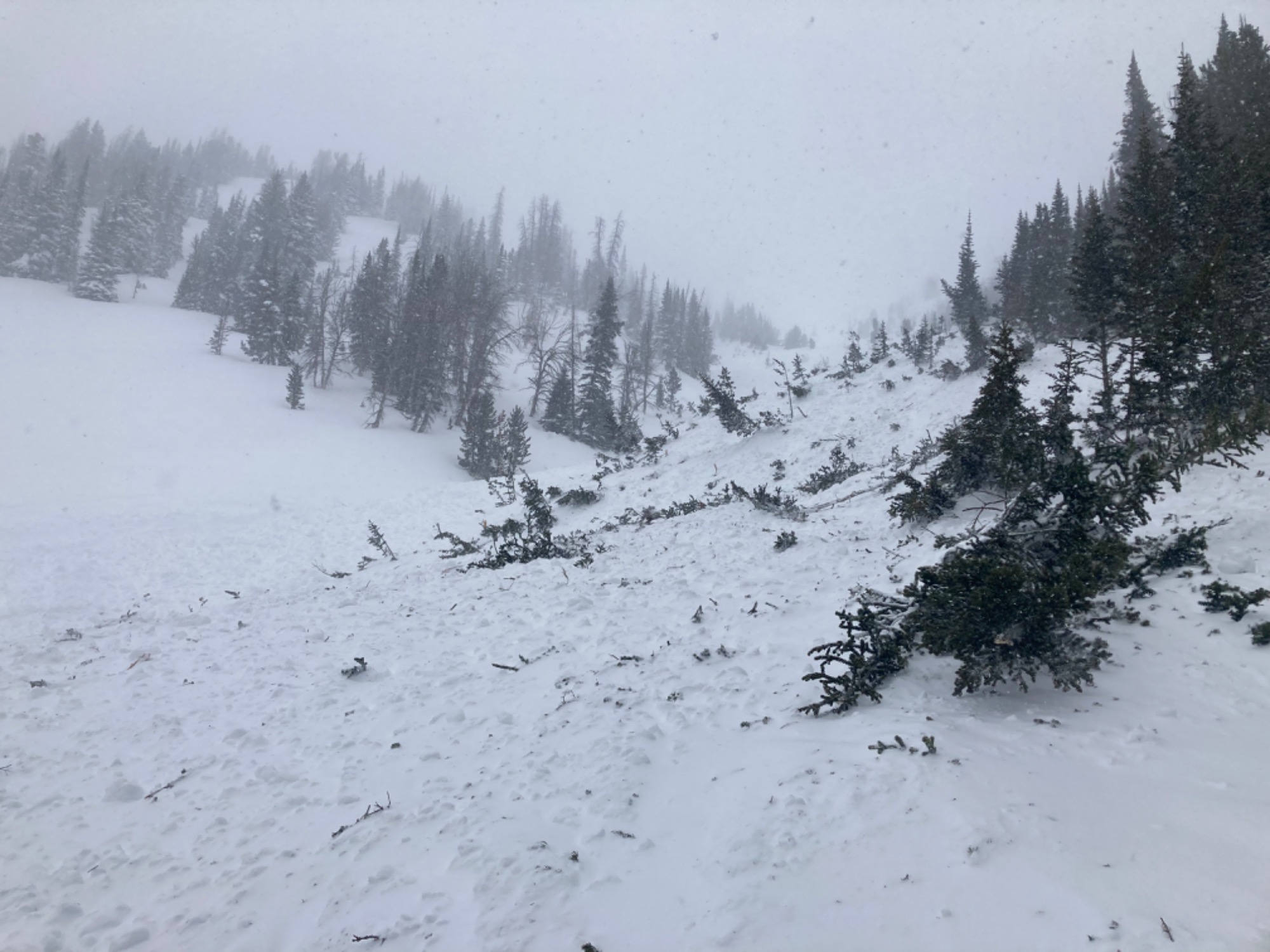
Avalanche forecast accurately predicted this instability. Steep east facing slopes should be approached with caution including run out zones. The remote trigger was a SSW aspect appropriately 1/4 mile away and across a drainage. No cracking or whumping until around 9800 feet. The first whump remotely triggered this event. Crown was approximately 2 feet but then stepped down to approximately 5 feet showing 2 separate bed surfaces exist within the snowpack. Crown width approximately 500 feet. Slide path length approximately 2000 feet.
Weather
- Air Temp
- 18-20
- Cloud Cover
- overcast
- Wind Loading
- intense
- Rain Elevation
- N/A
- Recent Snowfall
- 8-12
- Snow Avail For Transport
- large amounts
Moderate to heavy snow and blowing snow. Overcast skies and flat light.
Snowpack
Up track had 8-14” of fresh medium density snow in protected areas. South wind transporting lots of snow. No pit dug. Multiple buried sun crusts detected by probing. Some areas of deep unconsolidated bottomless snowpack still exist on Togwotee on west-north-east shaded aspects and where the snowpack is thin around cliff bands. Sun crusts have formed and are now buried 2 - 5 feet below the surface in wind loaded areas.
Avalanche
- Size
- D2 R2
- Type
- SS
- Aspect
- E
- Trigger
- AS