
Quick report
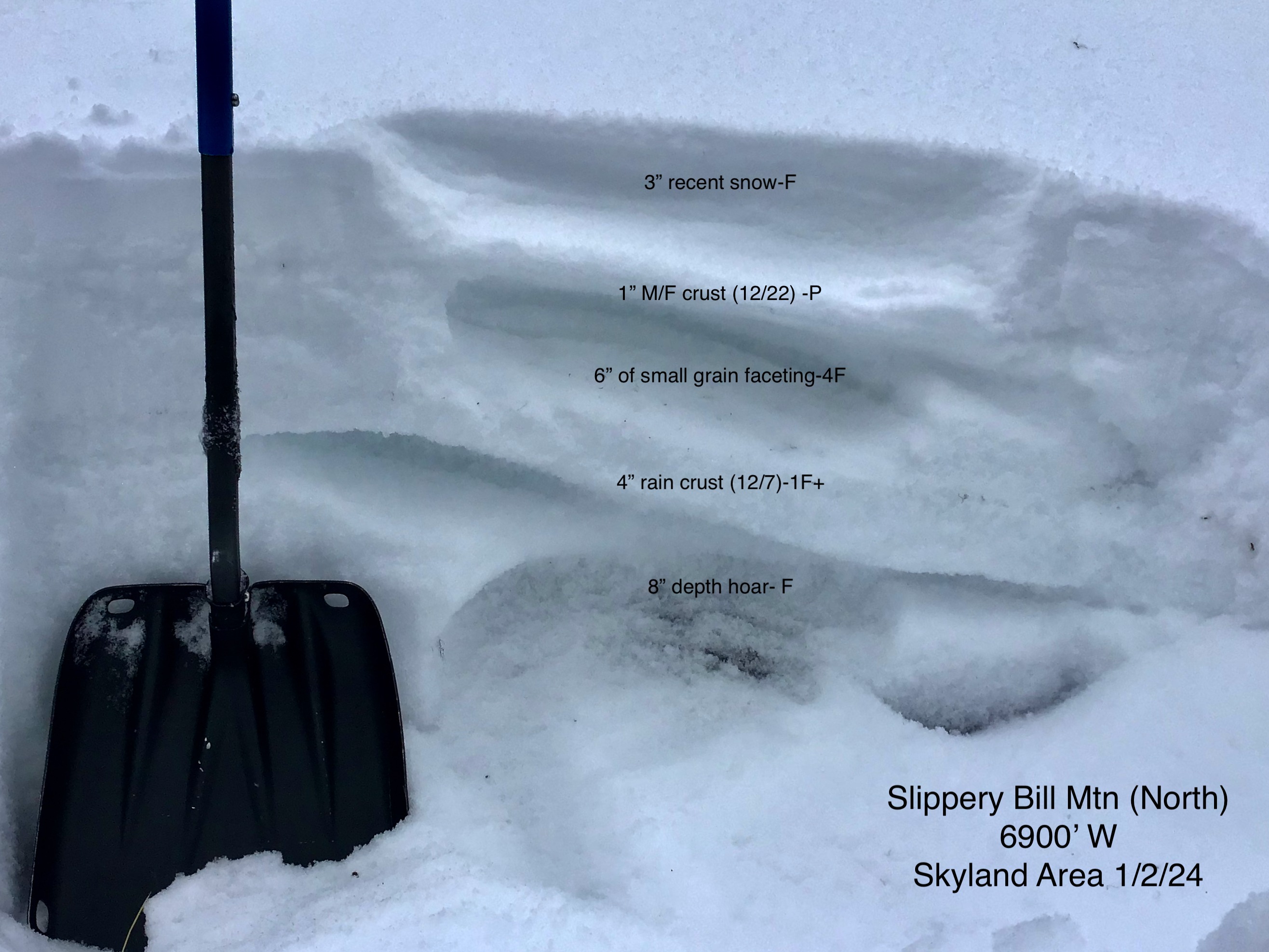
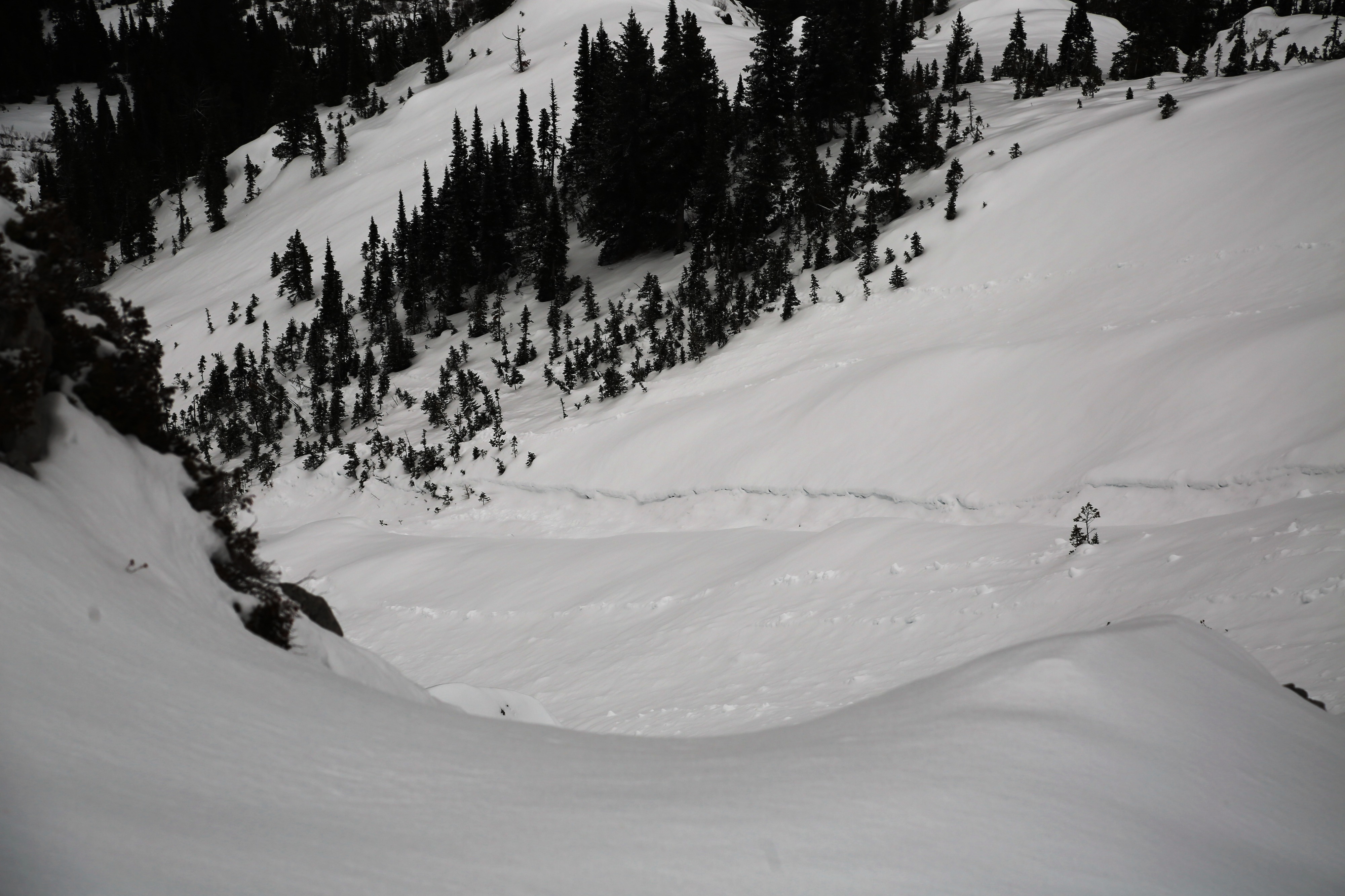
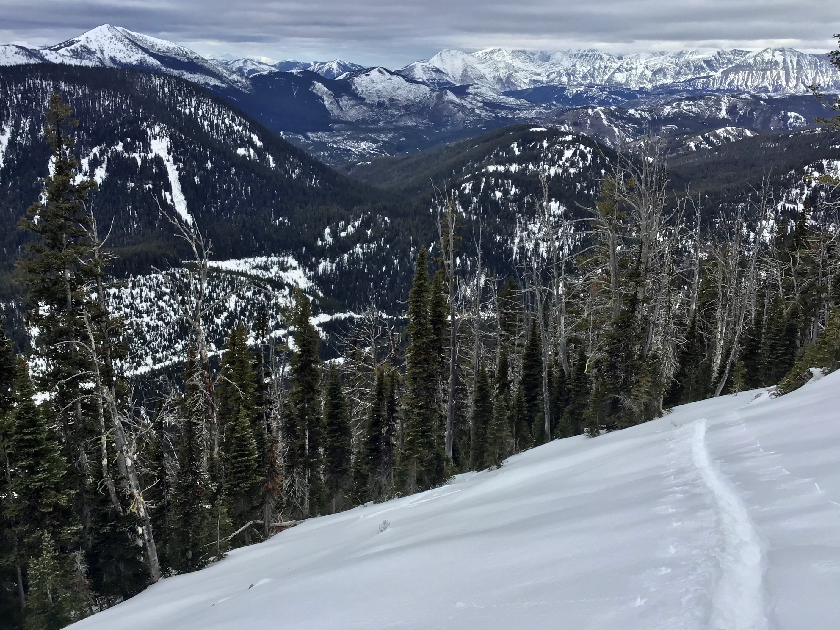
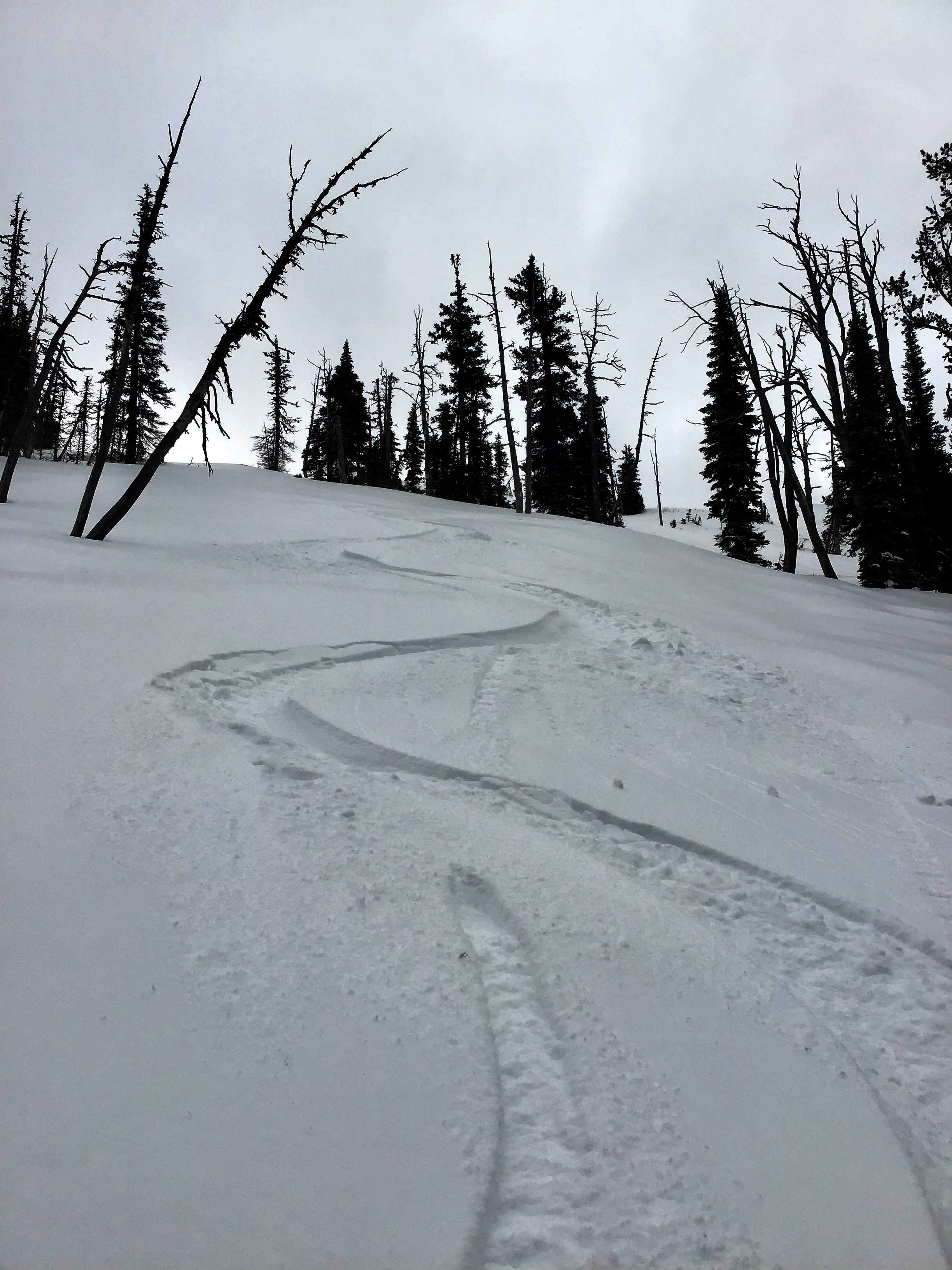
•Took advantage of vehicle access to 5600' in the very dry Skyland region •As observed a couple days prior on Patrol Ridge, the snowpack is thinner and weaker in this region. •The 12/22 crust exists to 7000' with 1-3" of recent snow from New Years eve storm sitting atop it. This crust is ski-supportable up to 6500'. Above that the crust gradually tapered away and at 7000' was non-existent. •Skinning became difficult above 7000' as the snowpack was almost entirely faceted except for the degrading 12/7 rain crust which was sometimes supportable dependent on terrain. •Older, point release, wet loose avalanches (D2) plagued the E facing chutes off Slippery Bill. Many of these slides initiated near the top of the path, near rock bands (7400') and gouged the entire snowpack away in a runnel-like fashion leading me to believe the E facing terrain snowpack was just as faceted as the W. These slides ran full path (~1500') and likely during last weeks warm, sunny weather. •I opted to boot the last 500' to the creek due to poor-non-existent coverage •Wind has continually been benign throughout the Middle Fork region
Weather
- Air Temp
- At or below freezing
- Cloud Cover
- overcast
- Recent Snowfall
- 1-3"
- Snow Avail For Transport
- small smounts