
Quick report
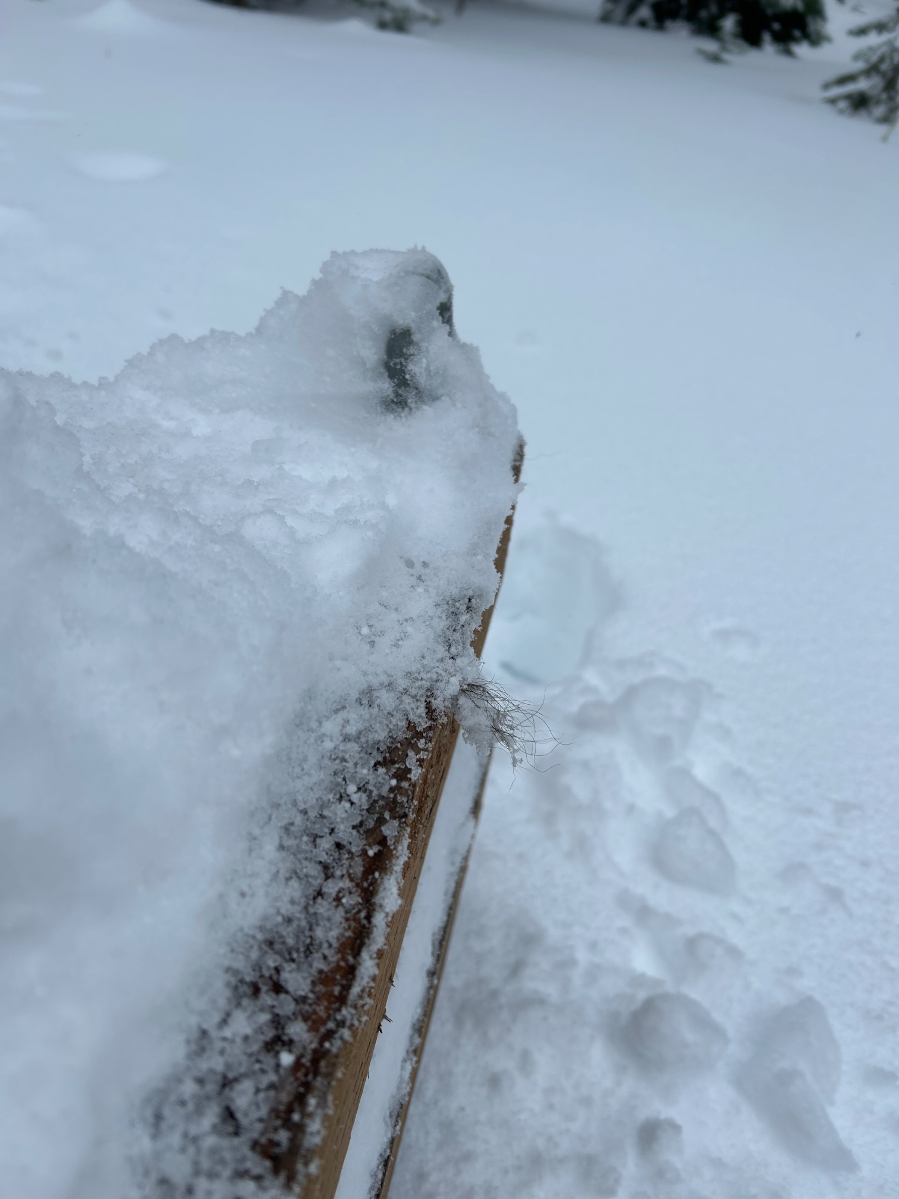
Today, we went up to work on the Tunnel Snow weather station in the Flathead Range. The snow depth at this station is back up and running.
- There are roughly 12 inches of new and recent snow above 5000'.
- The new snow is sitting on a melt-freeze crust. Below the crust we found a moist and consolidated snowpack.
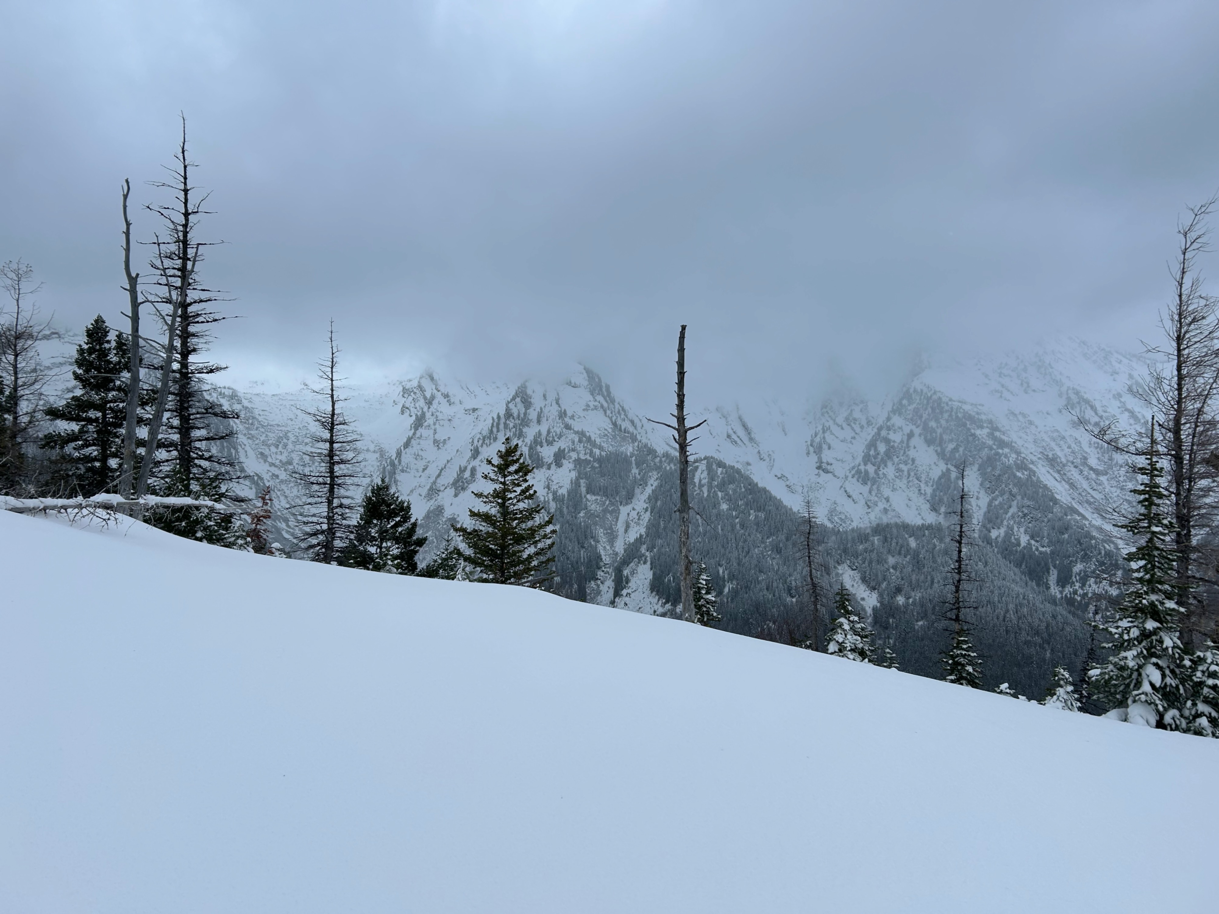
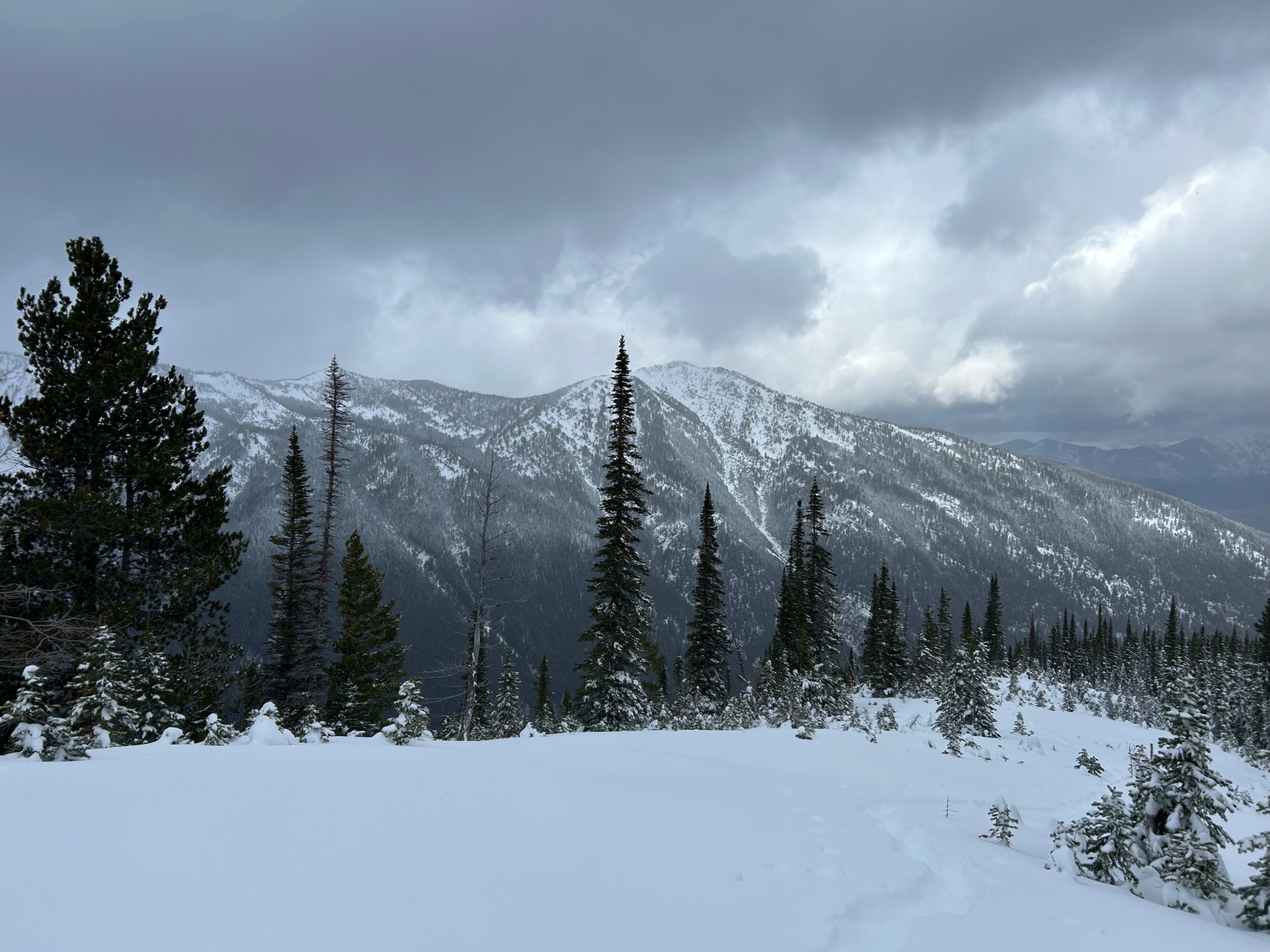
- Gusty winds out of the southwest transported snow along the ridge we traveled at 5600 feet.
- Though we didn't travel at any upper-elevation ridgelines, I suspect winds are drifting snow into sensitive slabs.
Weather
- Air Temp
- Below Freezing
- Cloud Cover
- overcast
- Wind Loading
- unknown
- Rain Elevation
- 4800
- Recent Snowfall
- 35
- Snow Avail For Transport
- moderate amounts
The rain/snow line lifted throughout the day. Sleet was falling at roughly 4400 ft this morning and lifted to roughly 4800 by the time of our exit. Snow squals produced periods of moderate precipitation rates.
Snowpack
We took a few manual measurements next to the Tunnel Snow weather station (5895 feet).
- HS 65cm.
- New and recent snow totaled up to 40cm.
- Below the recent snow is a 2 to 3-cm melt-freeze crust (buried 11/13).
- The basal snowpack below the crust consists of moist, rounded grains.