
Quick report
- Aspect
- North
- Red Flags
- Poor Snowpack Structure
- Elevation
- 2835 m
- Slope Angle
- 35°
- Red Flags Comment
- <p>This is only a future concern if by chance we actually add a significant new snow load at some point.</p>
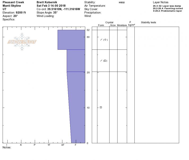
I documented a snowpit from a steep road cut that often avalanches over the road. This was almost 100% cold loose facets last week when I was here. This week the surface was damp down about 4". The basal facets are still cold and loose.
The snowpack (or lack thereof) is a complete disaster at this point. It ranges in total depth from 8" to 2 1/2'. This week's wind has wreaked havoc stripping areas down to the dirt and creating stiff "wave like" drifts in other areas. The snow surface was damp below 9500' and is melting away at the lower elevations. Travel is VERY limited.
Photo below: Looking into Seeley Canyon at the extremely shallow snow cover.
It seems like a LOW danger situation out there right now. I suppose there's still a slight chance a person could trigger a small pocket in the upper elevations.
Snowpack
Surface was damp on all aspects up to about 9500 feet. The wind was moderate to strong in speed but it seems like most of the snow available for wind transport has already been blown away. We did not note much blowing snow today.