
Quick report
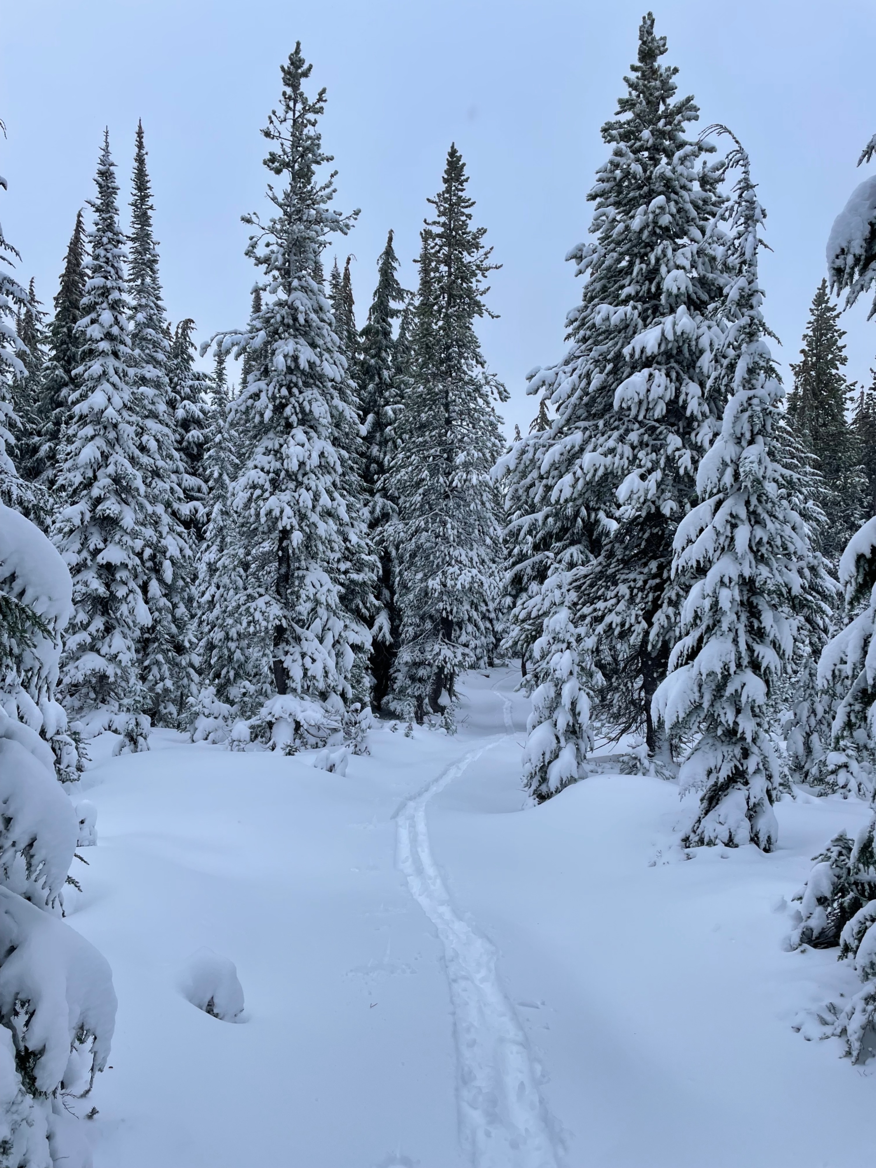
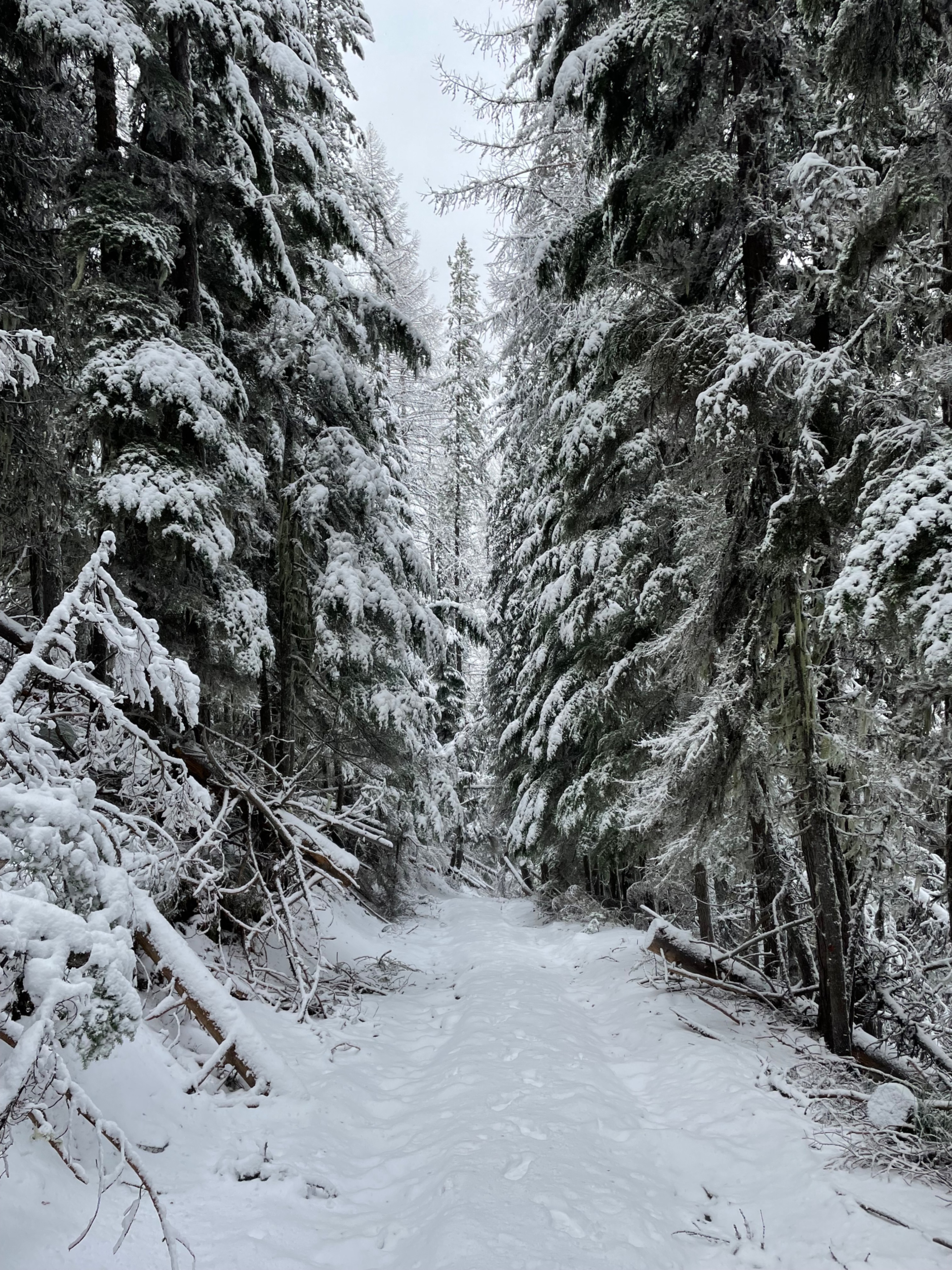
Early-season conditions prevail, but upper elevations are starting to resemble more of a classic winter atmosphere. Getting to snow that's deep enough to maybe recreate on is still quite a haul, and even then, you're very likely to put some new texture in your ski bases. The new snow is allowing for the transition to touring to happen a bit earlier, around 5500', but also just enough to hide some pretty major obstacles.
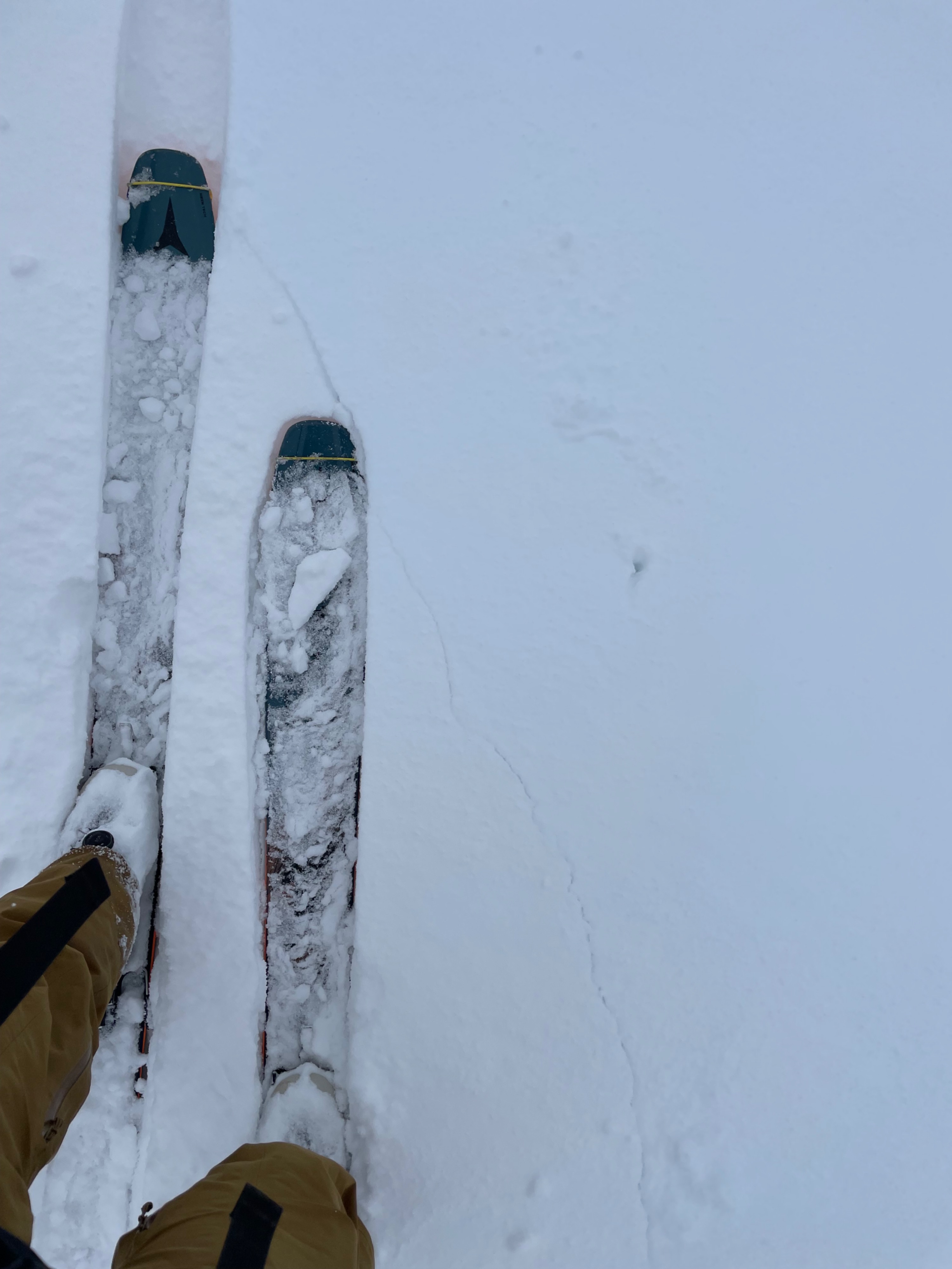
Cracking was observed that would extend a couple of feet in front of my skis near ridge lines and in open snowfields at and above tree line.Weather
- Cloud Cover
- overcast
- Wind Loading
- moderate
- Rain Elevation
- 4000'
- Recent Snowfall
- 25
- Snow Avail For Transport
- small smounts
Overcast all day, with S1 snowfall most of the time out in the field. Moderate to strong winds were consistent and reached down into the tree line. Primary wind direction was southwest, but swirled below the ridges.
Snowpack
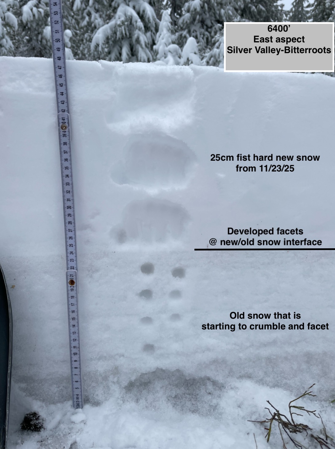
11cm of new snow was observed at 5200', with a fairly significant change happening around 5500'- where the new snow totalled 20cm. At 6400', there was 25cm of new snow in a wind-protected location.
Total height of snow at 6400' was 49cm, with the upper 25cm being new snow and the lower 24cm being the existing old snow. At the new and old snow interface, a layer of striated facets has started to develop. The older snow was mostly 1F crumbling melt forms that are starting to develop sharp edges and beginning to facet as well. New snow was all unconsolidated and F hard.
ECTN4 @40cm (mid storm interface)
ECTN11 @25cm (old/new snow interface)